Home › Forums › Bike Forum › Morvern route advice
- This topic has 6 replies, 4 voices, and was last updated 3 months ago by 13thfloormonk.
-
Morvern route advice
-
daverhpFree MemberPosted 3 months ago
Going to be up around Loch Sunart area next week – I’m looking at a loop from Liddesdale via Laudale House, follow the tracks west along the loch shore round to Glencripesdale, tracks up the burn and over to Kinloch then the A884 Gleann Geal road back to the start.
Doable on a gravel bike? Access okay?
I’ll be staying at Fascadale on Ardnamurchan for a few days – other than the ‘Lost Road of Ardnamurchan’ track from Ockle to Acharacle which I’ve ridden (pushed in the middle) before has anyone got any thoughts? I’ll be getting the ferry over to Mull to see a mate in Dervaig which happily means riding up to Ardmore point and down Glen Gorm then back via Loch Frisa…
If the weather is like this week the sea kayak will be getting some hammer – but Scotland in September/October so not making assumptions 🙂
2scotroutesFull MemberPosted 3 months agoThe Drimnin-Doirlinne route from Lochaline might be worth considering. It’s mainly tarmac but has a lovely wild feel at the West end of it. Assuming clockwise, there’s a very short section of hike-a-bike through bog myrtle and hazel after leaving Doirlinne. You can also take the old road past Ardtornish Castle on the return to Lochaline.
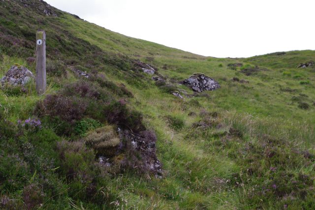
daverhpFree MemberPosted 3 months agoThanks Scotroutes – the bealach looks a bit of a no-go on whats a reasonably long route. I’d had a look on Google Earth and assumed pretty much what your photo suggests – hence me thinking what looks like estate tracks above the burn and around might be a better – if longer – option…
 dovebikerFull MemberPosted 3 months ago
Sunrise across to Morvern and Ardnamurchan this morning…weather forecast for the next week is probably the best we’ve had all year.
I don’t know that particular route in question, but as a local I treat tracks on OS maps with a degree of scepticism – it might have been there when they made the map, but I’ve seen marked tracks completely overgrown in 3-4 years, whilst newer tracks are not even on the map partularly in forested areas where there’s been lots of harvesting. I can vouch for the loop from Drimnin, around to Doirlinn, Loch Teacuis, Lochaline – and can confirm it’s hike-a-bike for a few hundred metres. Definitely clockwise – wouldn’t fancy the climb up from Druimbuidhe the other way.
daverhpFree MemberPosted 3 months agoCheers Dovebiker – same in the Dales where I live. Google Earth works for a ‘second opinion’ but sometimes what looks good from space, not so good on the ground… only one way to find out, eh.
Bit gutted I’m not there this week, but you never know it might hold into next week.
Last time I was near Loch Teacuis I was attempting the narrows from the back of Carna coming round to Oronsay and I found out the hard way the tidal flow there doesn’t follow the tide tables!
13thfloormonkFull MemberPosted 3 months agoThe red line on your map is reasonably well proven gravel, in as much as it features in Ed Shoote’s Gravel Rides Scotland book.
I think the verdict was that it was a tough climb (steep or long or a combo of both) and at least one very tall, locked deer fence. Descent loose and rough, I think he says suitable for confident or experienced riders on a gravel bike.
I’m looking forward to trying it next year at some point.
You must be logged in to reply to this topic.


