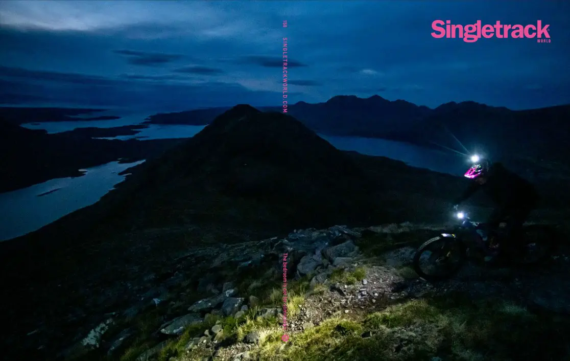
Did some research (below links), but haven't found a recent answer. Looking to use Loch Lyon as a connector from B of O to Aberfeldy. OS seems to show tracks on north and south sides of Loch Lyon. On OS maps the north side track doesn't fully connect, but https://wtp2.appspot.com/wheresthepath.htm seems to suggest it does.
Question: Which track is better for MTB / actually exists on the ground?
https://singletrackworld.com/forum/topic/glen-lyon-to-bridge-of-orchy-help/
https://singletrackworld.com/forum/topic/yet-another-scottish-coast-to-coast/
https://singletrackworld.com/forum/topic/loch-lyon-circuit/
I have ridden the north side - its a decent landrover track all the way. The south side looked the same.
check google earth and geograph
Think the most recent HT550 used south side? Never did find a reason why (didn't look very hard) but I want to take north side, for a couple of km detour you can visit the wee shrine of the Cailleach which I've always wanted to check out.
The Southside is slighty easier, but not much in it. General winding farm track.
The HT550 used the north side for a couple of years but this year used the south side. Alan (Goldsmith) likes to vary the route on a regular basis.
I don't think there's much in it TBH, both have a ford or two to negotiate.


That ford is on the north side. If heading east then you turn left just after it and head up the glen to get to Tigh am Bodach.
Thanks all! Sounds like much of a muchness so will flip a coin on the day.
North side gets more sun - thats why we went that way
South side has a lot more streams to cross but is slightly shorter. North side has a bigger climb at the Glen Lyon end.
I'm staying in Aberfeldy in a few weeks and was planning to cycle through from Bridge of Orchy. Is this route over loch lyon gravel bike suitable or am I better off bringing the mountain bike?
It's gravelable, although chunkier pebbles/stones in some places.
We did it on the tandem with trailer and with a poor quality skinny ( for an MTB) back tyre we got as an emergency replacement. It will be comfier on a MTB but by no means difficult on a gravel bike
Thanks both. I think I'll go gravel then as I'm staying about 12 road miles further on from the dam at the East side.
having done it now (thanks for all the input) it’s what @robbie said. Not much in it either way - I took north side one day, south the other. North does offer a detour to see the odd little cairn with some interesting history a couple kilometres up a side road.
if I had to choose I’d probably pick north side, but really not much difference.


