Viewing 19 posts - 1 through 19 (of 19 total)
  • Long Mynd – way marked trails or old fashioned map route?
  • jimmers
    Free Member

    I am going upto to the inlaws over the weekend so naturally I will taking the bike up!

    Two options either follow the recently way marked trails if they are long enough or follow the hard route shown in Issue 37 of ST magazine which snakes up and down some nice gradients. Looking for a 4 hour ride or so.

    Next question will I get up those hills with 32:16?

    goog
    Free Member

    map

    scruff
    Free Member

    ST route is OK, some valleys are better for riding up, some better for down. The BWs have numbered posts on them now, not sure what is available in terms of route guides for these. Try asking these people-

    http://www.plushhillcycles.co.uk/mtb-news/79-mtb-long-mynd.html

    I have no idea what 32:16 means, but the hill is big and can be steep in places.

    jimmers
    Free Member

    Thanks for the link scruff. Will have a look at their map.

    lowey
    Full Member

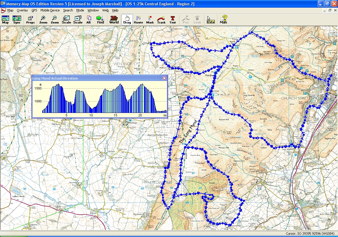
    Heres one I did last year. Cracking ride.


    Long Mynd by lowey.com, on Flickr

    jimmers
    Free Member

    Cheers Lowey, how long did it take you get round?

    Mounty_73
    Full Member

    Ask these guys;

    Homepage

    lowey
    Full Member

    Jimmers, cant honestly remember, about 4 hours or so, It was a very gentle pace though, I was in no rush.

    Pics are here :-
    DSC04150

    weeble
    Free Member

    32:18 for the minge

    jimmers
    Free Member

    Lowey: Some cracking shots there, might give that route a go.

    Weeble: will definitely be gearing down from the look of those hills!

    BigJohn
    Full Member

    You might as well singlespeed because there’s a lot of pushing involved – even for geary types. Make sure you wear comfy shoes.

    plushhill
    Free Member

    Conditions are spot on at the moment, dry and dusty

    Trail map here: http://www.plushhillcycles.co.uk/trails/35-long-mynd-trails.html

    See what the weather is doing, it should be sunny. My top tip is to pay attention to the wind direction as you don’t want to be pedaling into the wind on top. Start in Church Stretton and you can easily change the direction you travel on the ridge or if the weather does turn bad you can head east to Caradoc, hope bowdler and lawley etc

    A few mynd shots: http://www.flickr.com/photos/plush_hill/sets/72157625365917525/

    Have a good one, we are closed Sunday to ride

    Scamper
    Free Member

    I was going to suggest with 4hrs some tasty stuff across the valley around and over Caradoc and Bowdler. And have a nice pint in Cardington.

    jimmers
    Free Member

    Thanks for the tips plush, been looking forward to trying out the area after flying over the Long Mynd when the GF had had a day experience flying lesson over that way.

    lowey
    Full Member

    Its ace. I really enjoyed it. I’ll bet the trails are tip top at the moment too.

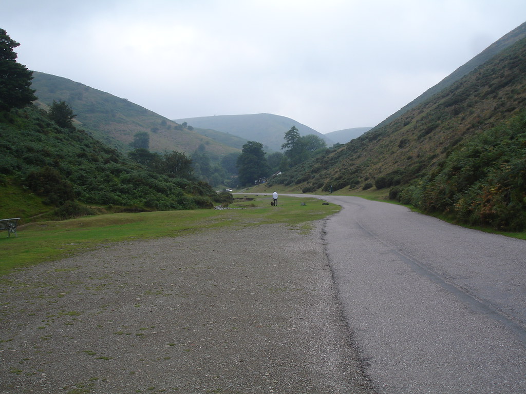
    Try the Carding Mill climb without dabbing! I managed it but it nearly killed me.

    Scamper
    Free Member

    Ref Cardingmill climb – prob not the best to come down this weekend unless early doors as a very popular walking bridleway.

    snakebite
    Free Member

    why would you come down Carding Mill? 8)

    Scamper
    Free Member

    For the cream teas? 8)

    _tom_
    Free Member

    Wouldn’t fancy the Long Mynd on a singlespeed, I struggled last time with gears 😯

Viewing 19 posts - 1 through 19 (of 19 total)

The topic ‘Long Mynd – way marked trails or old fashioned map route?’ is closed to new replies.