Home › Forums › Bike Forum › GR5 Geneva to Nice 2016 – Picture and Word heavy
- This topic has 27 replies, 22 voices, and was last updated 8 years ago by oliverracing.
-
GR5 Geneva to Nice 2016 – Picture and Word heavy
-
oliverracingFull MemberPosted 8 years ago
We started this trip with the aim of travelling from Geneva to Nice in a period of 18 days, riding the most fun route we could but prepared to take a train/bus/lift if riding didn’t seem to be a pleasant option…
We based the route off of GR5 mainly as it was a well documented path that seemed to do a nice route, only needing a few detours to avoid the national parks. Early planning stages of our trip showed we were going to have to do the trip mid to end of September to fit around our placements and the start of the uni term (more on that later). This would give us an advantage that we would be in low season so the sites would be cheaper and the trails quieter, but also the huge disadvantage that a lot of the sites and refuges would be shut, it was also pushing it for whether we would be able to do all the passes without snow (again more on this later)
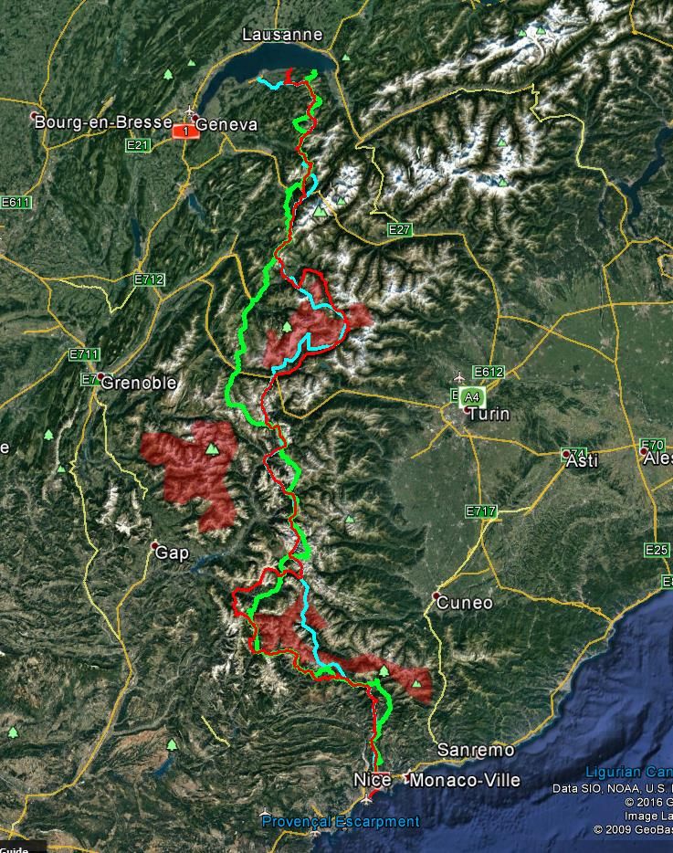
Dates set (11-29th September) and flights booked, we started to fine tune the route, I was planning on meeting Will by lake Geneva as I was splitting off from a family on the way back from the Monza GP ( again more on this later) so it made sense to go to the edge of the lake to do a “See to Sea” type trip! The rest of the planned route can be seen here , we decided to on road through the Vanoise park and around Mercantour park using other GR routes.
Our planned route is in red, GR5 in light blue with an alternate suggested route in light green and national parks in translucent red.
Day 0 – To the lake. – Sun and cloud
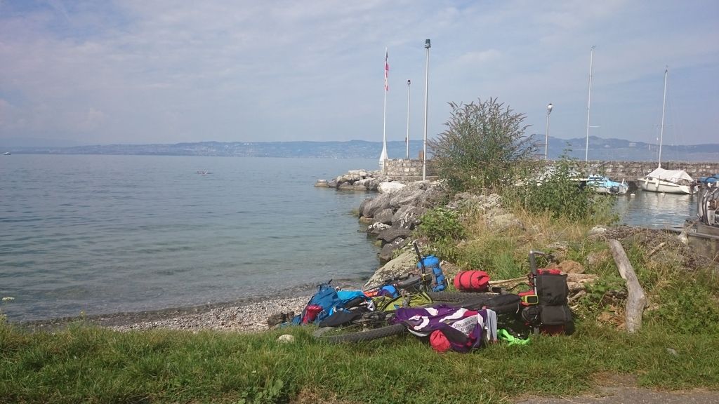
My family had decided to spend the last few days of their trip in the Abondance/Mozine/Samoens area so it made a nice short day to get to the edge of the lake, only did about 2km off road but was a nice ride with minimal problems…
That was until I met Will and went to set off up towards the campsite, both tyres were completely flat! I had done 6-7 days of riding on this tubeless setup but it was obvious that something had suddenly gone wrong, turns out it was a thorn on the front and a loose valve on the rear – an easy fix. phew.
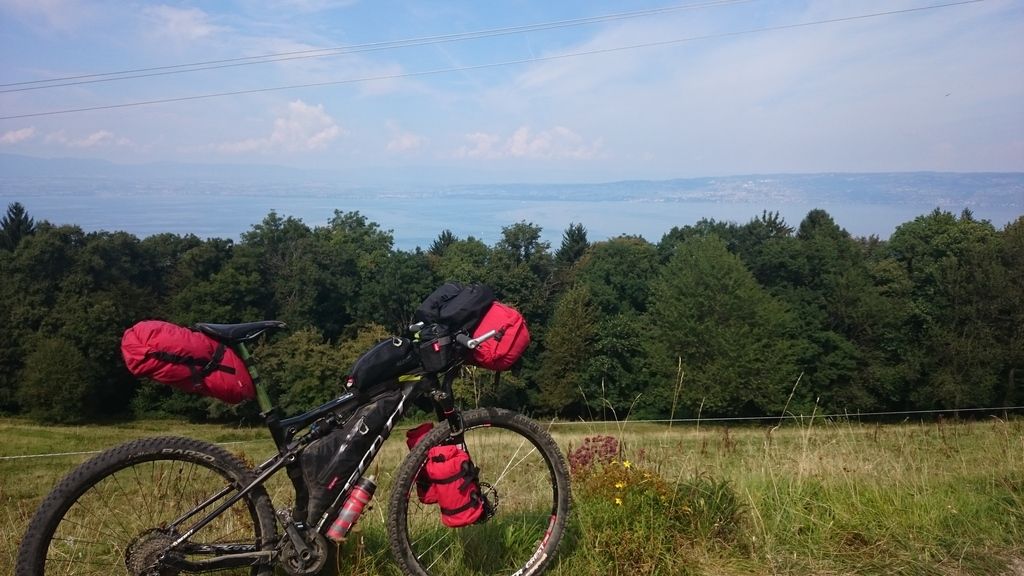
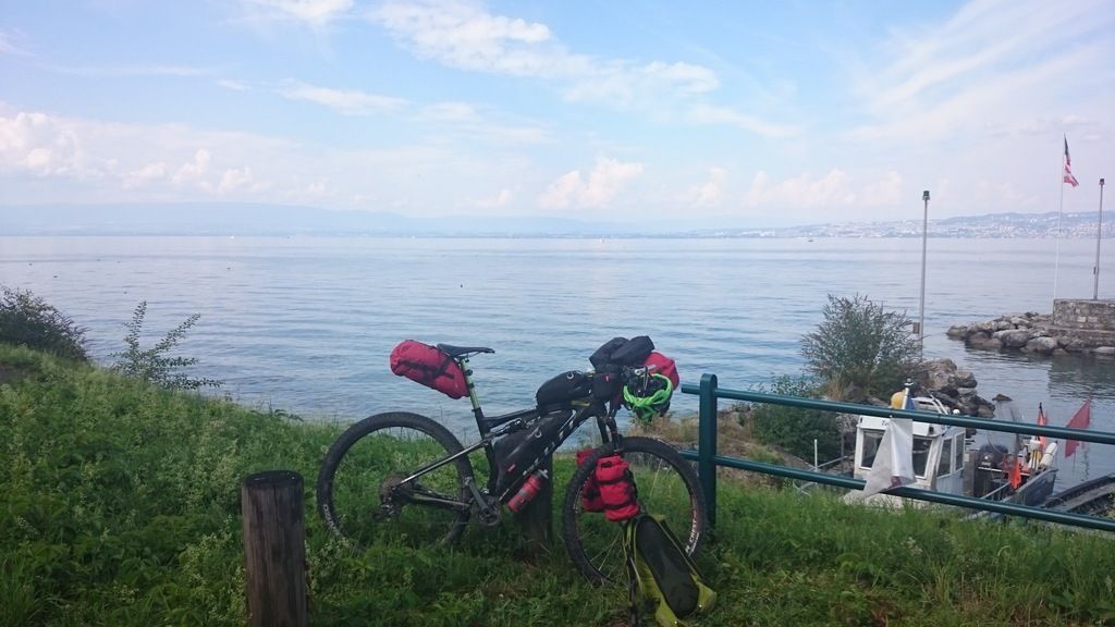
Day 1- Lugrin to Chalet de Bise – 30km and 2150m – Sun and cloud
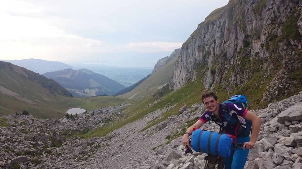
THE TOGHEST DAY ON/WITH A BIKE EVER. Today was tough, as in real tough. It was warm, neither of us was yet used to lugging 20kg of bike and gear up hills, which happened to be up some of the steepest, roughest terrain I’ve ever come across.
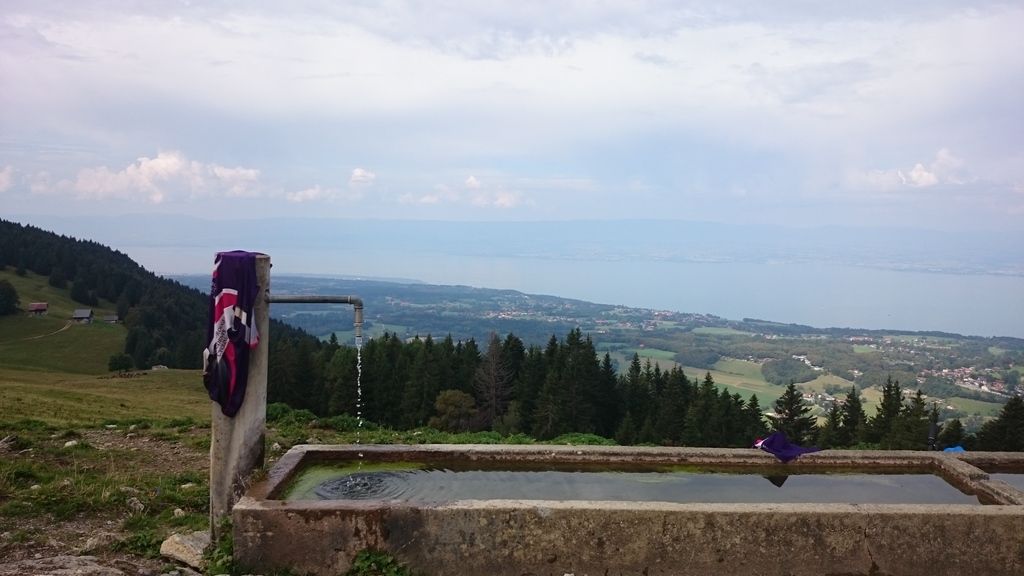
The day started ok with a trip to the supermarket to stock up, and a 2 hour ride up to the start of the off road section of the GR5. The track started off steep, then got steeper and then turned to washed out boulders (still steep). Luckily it did level out to about 15% gradient so was walkable. We had lunch at a fountain at 1400m altitude and refilled our water as we were nearly empty! There was definitely the feeling of having bitten of more than we could chew!
The trend of steep sections between just about rideable sections continued for a few hours, before we came across a 45 degree climb up roots and rocks to “Tete des Fieux” by this point we had 1600m climbed on the Garmin and were thinking about giving up for the night, but…
We received a text from my parents saying they were doing a nice walk up from Chalet de Bise and were looking at wild camping (in a nice warm campervan) near there, this meant we could have a nice warm meal and soft bed if we continued and met up. We continued, climbed over more boulders and scree, saw some Ibex and descended to the Bise valley.
2150m climbed in 30km, 5 hours moving time and legs no longer feeling attached I slept very well.
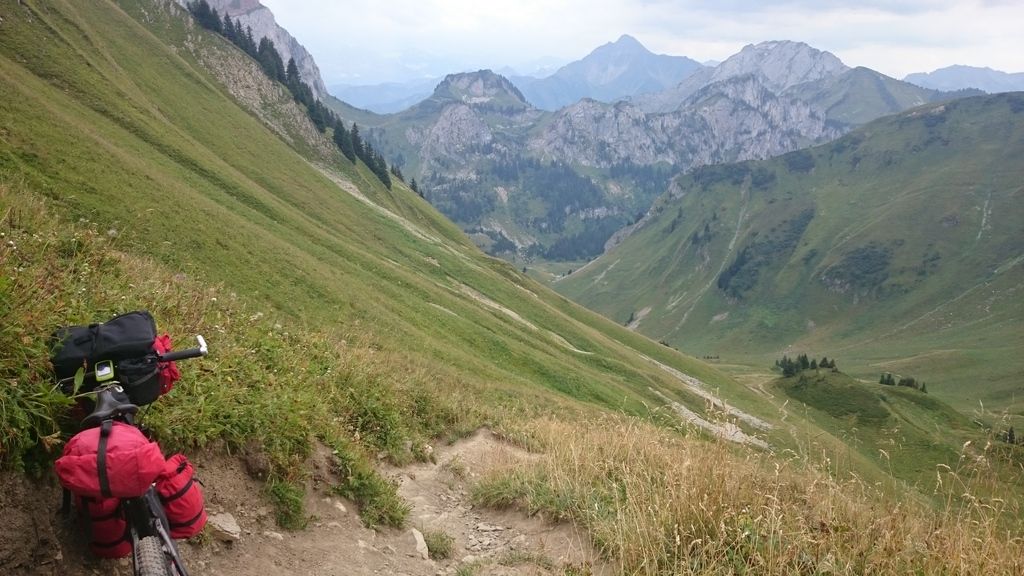
Day 2 – Morzine to Samoens – 20km and 600m- Sun and cloudMy parents said they were moving onto Samoens today, driving via Morzine and would we like a lift? This was an easy decision as had heard the next section was just as hard, it also gave us the opportunity to ride a short day without kit – something we wouldn’t be able to do later on.
We had lunch in Morzine and rode up to Col du Golese – 90% rideable with a fun double track descent . I ended up cutting a tyre and limping with a tube down to the campsite where we met up with my parents for a BBQ – I also was able to use a track pump to re-seal my tyre properly.
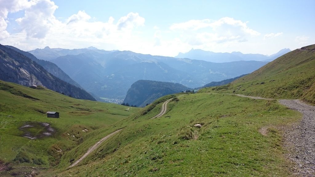
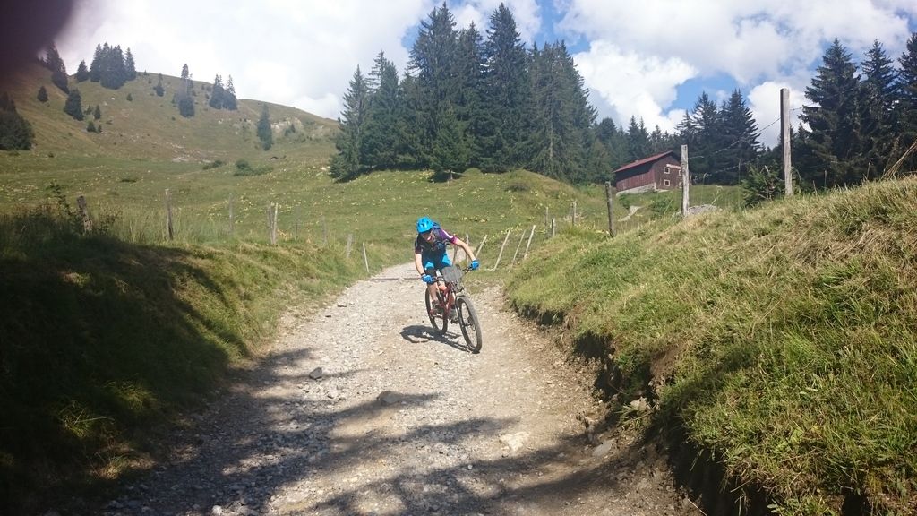
Day 3 – Samoens to Les Houches 41k m and 2050m- Sun and cloud
Early start but we had to pack carefully so not to leave anything behind – my parents were heading home and we were heading south- no chance of another meet up!
It was a slow and steady climb to refuge des fonts at about 1350m , shortly after this the path narrowed and steepened – still pushable but definitely not rideable in some places, even without kit. Stopped by lac du Anterne for a late lunch but decided not to swim as was only about 10 degrees, we also got told we were mad going to Nice by a few guys walking the GR5 to Chamonix and continued up to the pass.
Mt Blanc was in cloud sadly but still a fantastic view, we then dropped down to Servos via mainly doubletrack and then up the valley to Les Houches on road – the road was shut to cars so a very pleasant end to the day. We decided to visit a local restaurant for tea as the Savoyard burger looked too good to miss!
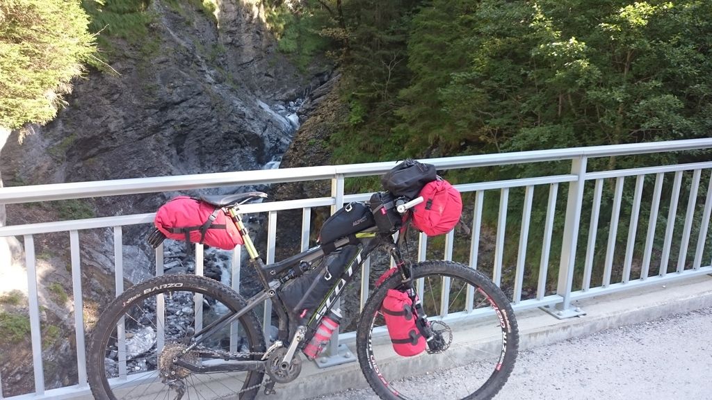
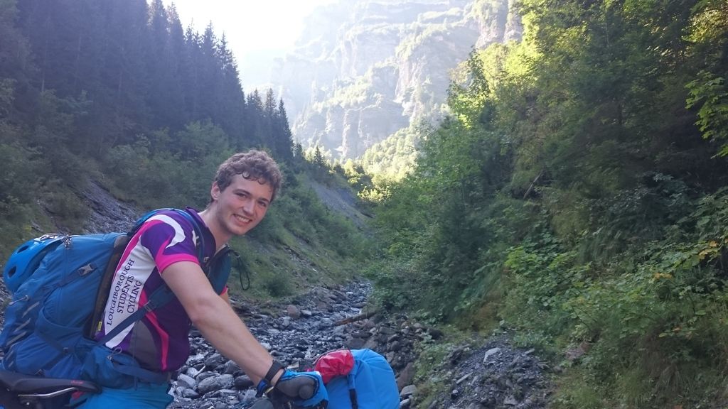
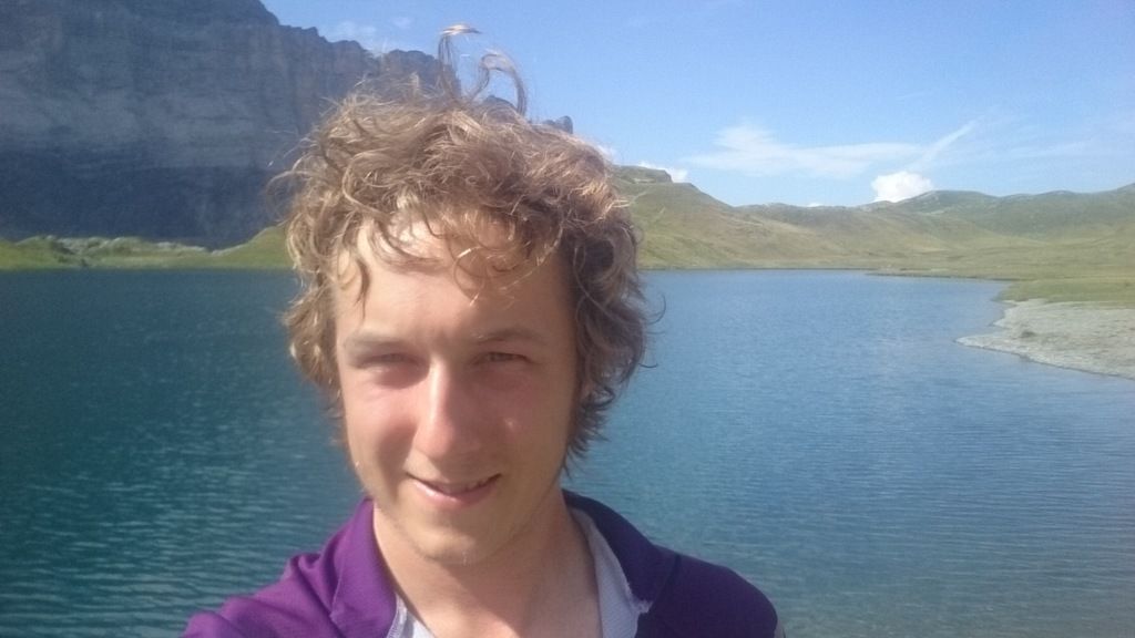
Day 4 Les Houches to Refuge de la Balme – 24km and 1478m – Rain
Early start due to heavy rain on the tent, but didn’t get going till after 10am as forecast was for a better afternoon. Start of initial climb was road but soon changed to ski resort track – the type that is too steep to cycle but annoyingly smooth to walk up. Didn’t stop at the top (1660m alt) and dropped down to Les Contamines where we had hoped to stock up and keep going as the next few days promised to be remote.
Turned out one shop wasn’t open for a week, another wasn’t open till December and luckily one said they opened at 3pm – being 1:30pm we had to wait but luckily the shop owner let us in the side entrance early so we could checkout as he opened up at 3pm 😀
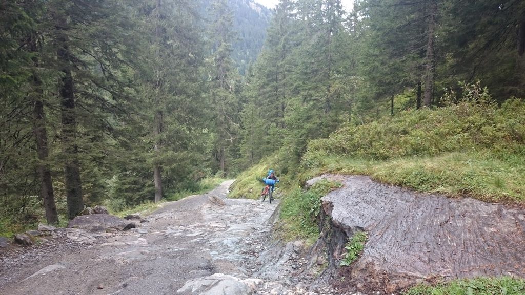
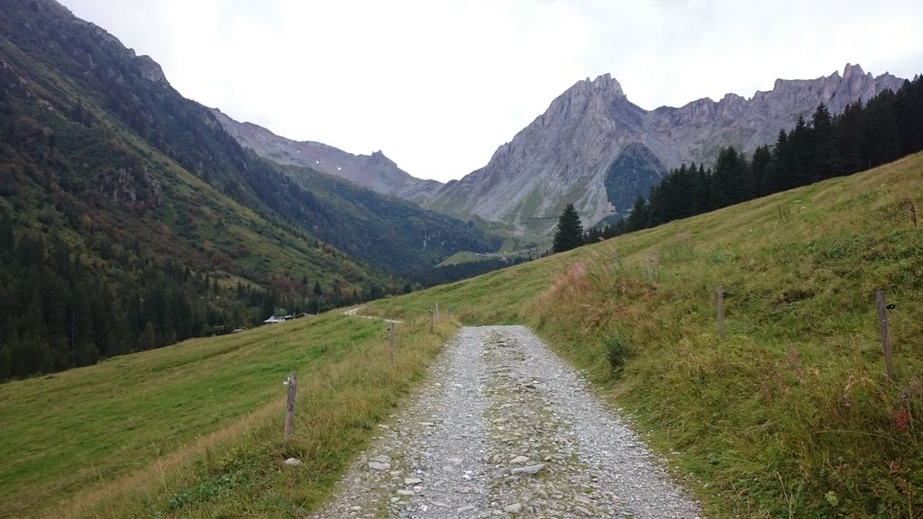
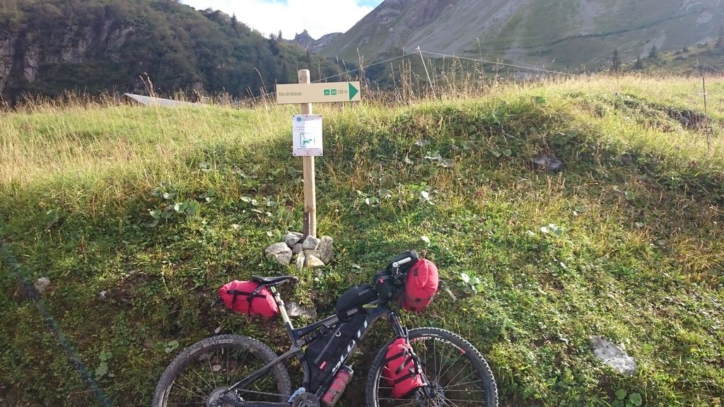
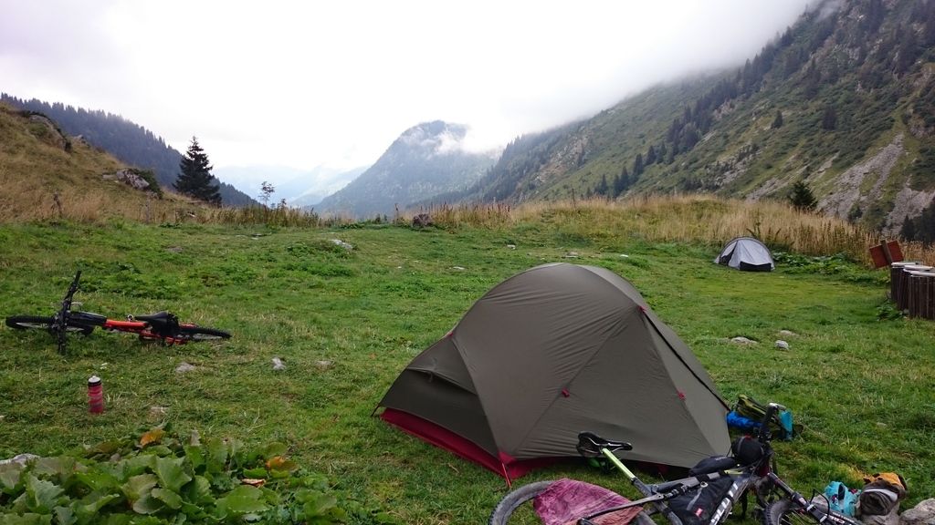
The climb was easy going till about 1200m where the path took a turn for the steep – still wide enough for a 4×4 (we had to move out of the way for a few) but bloody steep! Went past a few average wild camp spots but decided to continue to Refuge de la balme where we knew there was a designated area.
Turns out there was even a flushing loo and fountian! 😀 Sadly the refuge was shut so was pasta for tea!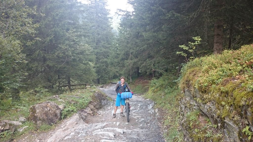
Day 5 Refuge de la Balme to Landry 43km and 1200m – Rain and snow
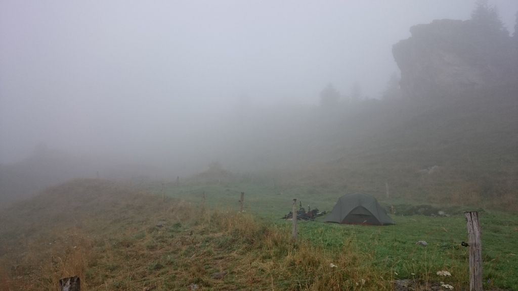
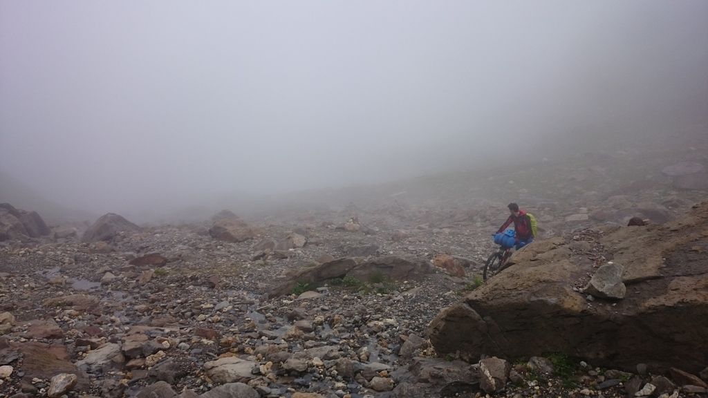
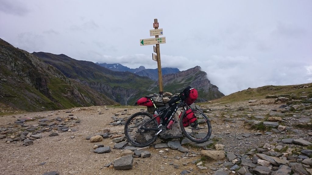
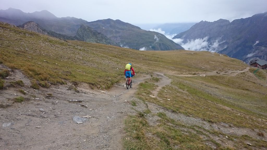
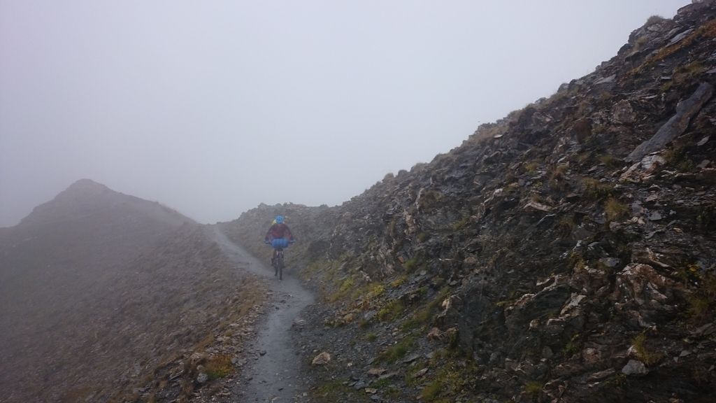
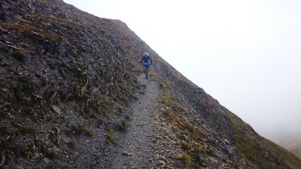
We woke today in thick fog, as in we couldn’t see the refuge 50m away! Setting off up the pass there were moments of clarity but mostly rock and fog was the limit of our view. We were pretty damp by the top of the pass but knew we had to keep climbing to the refuge to be able to keep on route.
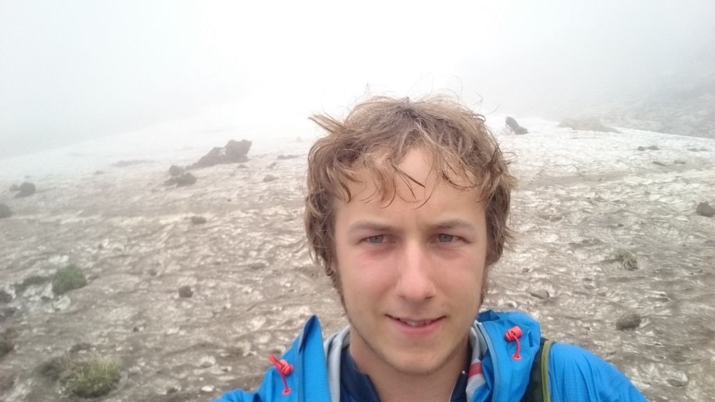
We stopped for an omelette and soup (both small and not amazingly tasty) and dropped onto the Crete du Gittes – you’ve probably seen pictures but the wisps of fog accentuated just how exposed we were, not helped by the rain and snow that was falling (or blowing) at the time. Fantastic to ride but did need a clean set of underwear by the end!
Due to the crap weather and the promise of a warm Chalet if we dropped down to Landry we decided to use the road to descend down – fantastic fun but nearly died at least 5 times – overtaking a campervan at 60kph is scary!!!!
In the evening we found out that the Col du Iseran was shut due to snow so posted up on STW to see what the Hive mind thought was our best option (We had kit for the cold but didn’t fancy camping in -8c as we didn’t class that as “fun”).A major plan change was forming…
 Snow!!!!!
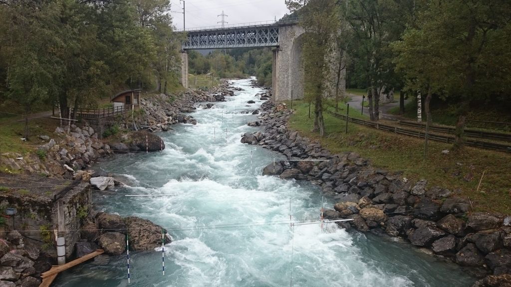
Day 6 – Landry to…. Landry – heavy rain
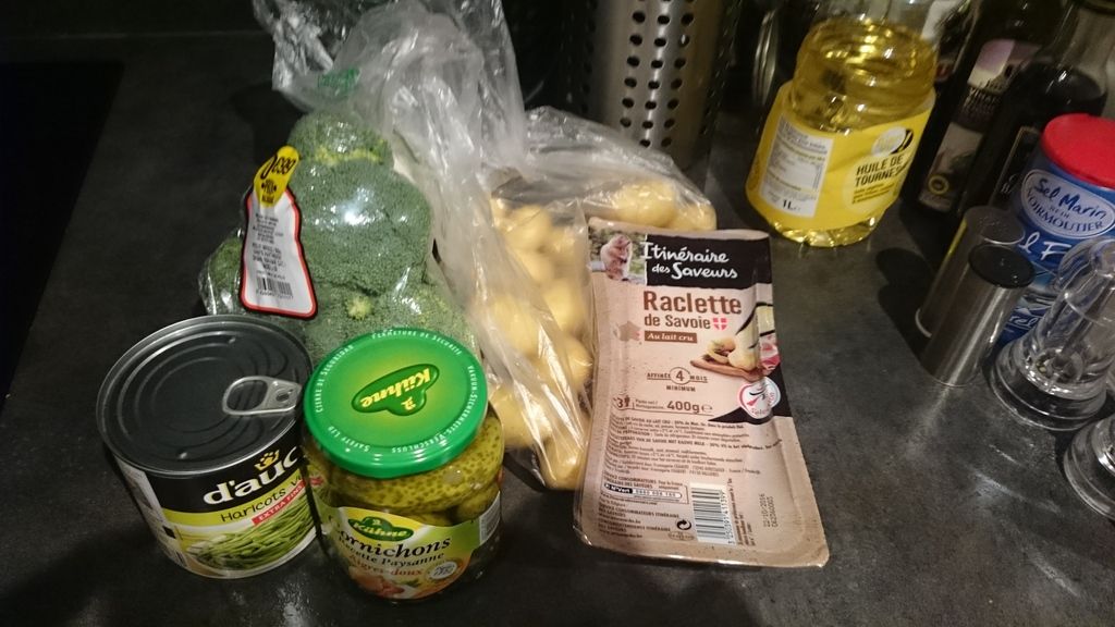
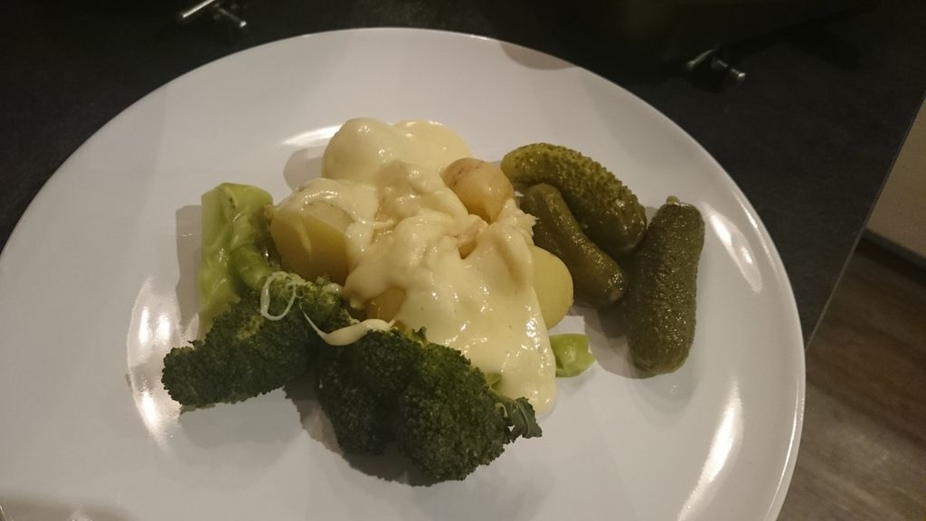
Wow – STW had come to our rescue, as you can see from the thread we had been offered plenty of help, I’d even bee emailed offers of lifts and uses of chalets in the area! We decided a train journey to Gap was going to be our best option as it would drop us south out of the crap weather and mean we could do shorter days or even take a day or two off if we wanted. Quick trip to BSM and bought our train tickets for the next day and food for tea (pictured – yum!)
Day 7 Landry to Gap – Rain to sun! 😀
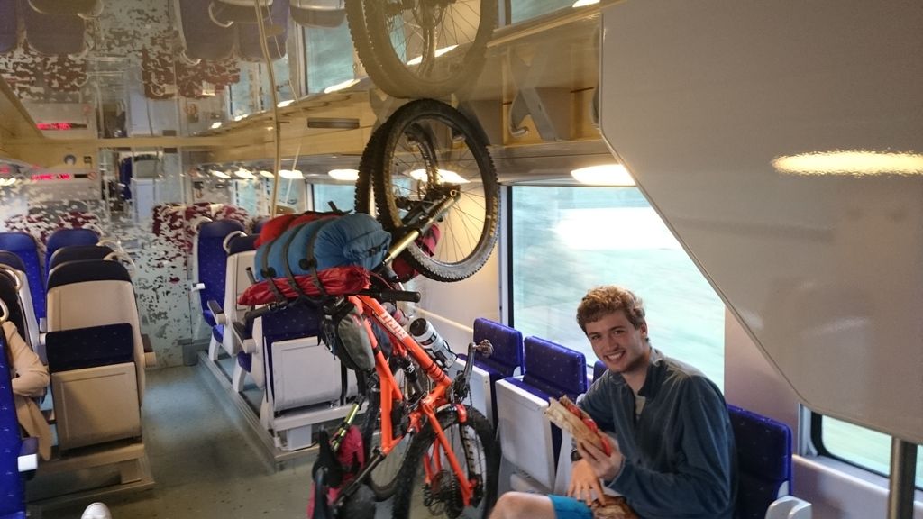
Pretty uneventful day, trains were on time, nearly empty and plenty of bike spaces 😀
Day 8 Gap to Lac de Serre Poncon – 34km and 850m – Sun!
Lazy start as not planning a long day, got some shopping and pastries for breakfast. Mainly track today with one cracking bit of singletrack down to Notre-Dame du Laus Nunnery, Again suffered from dodgy shop opening hours in Chorges before heading to the lake to end the day.
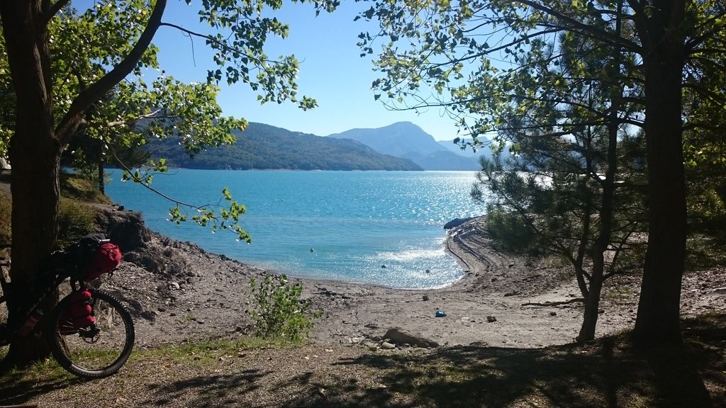
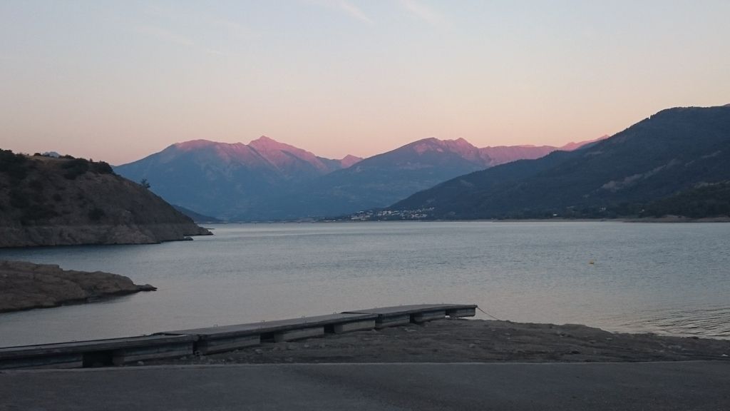
Day 9 Lac de Serre Poncon to Barcelonnette – 52km and 880m – sun with cloud
Unpleasant start to the day along a big N route and having to cross a bridge over the lake on it was even worse! Next section was nicer with few cars and good views. Once in the valley we followed the cycle network which followed an old railway- 4 tunnels, one being 1.7km long! Due to large amount of road on route we were done by 3pm so had a wonder around the town and decided to go back for dinner as the pizzeria looked especially good (it was)
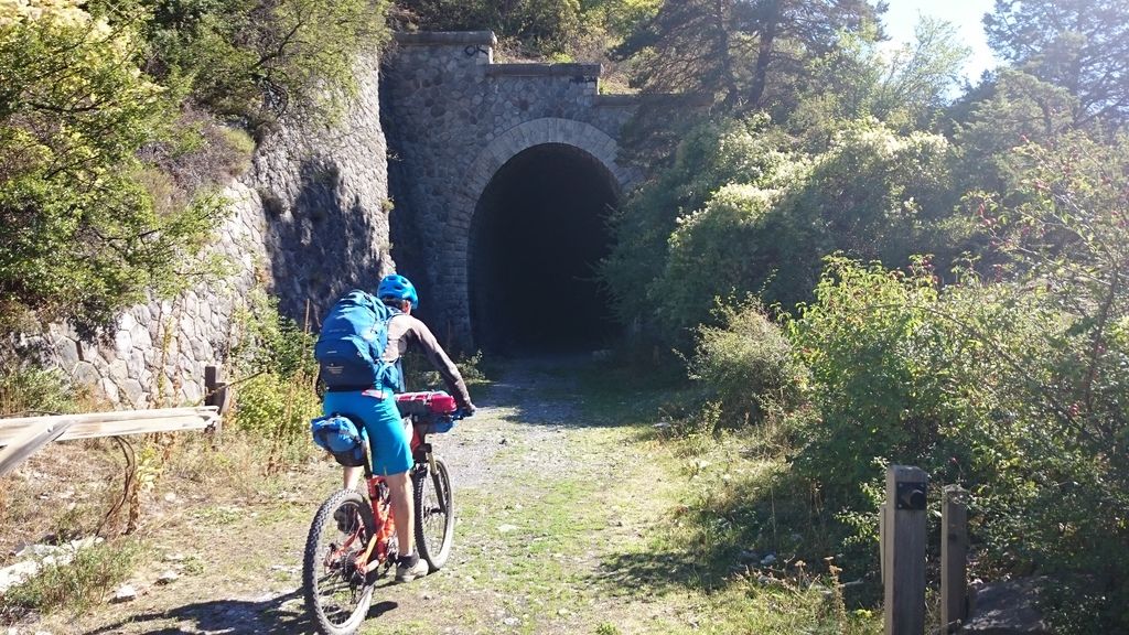
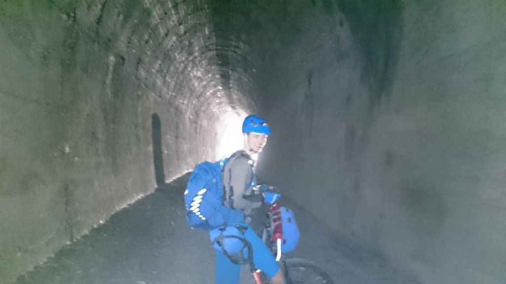
Day 10 – Barcelonnette to Colmars 41km and 1350m -Sun to Heavy rain
Started early to avoid forecast rain and followed the road up towards col d’allos, going past the road closed signs knowing the bicycles often could pass through without too many issues…
…every car or bike that went past us was turned around…
…we got stopped by the foreman and told no way we could get through…
…we argued we could carry our bikes…
….and offered to wait till lunch…
….he told us to turn around…
…until eventually he said we could carry our bikes – turned out the bridge was partly missing so we did have to carry our bikes!
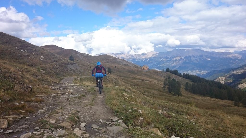
Got to the top eventually and split off onto the “tour do haut verdon” mtb trail – Fantastic, flowy, 95% rideable with some fantastic views . In Allos we decided to follow the road down as was a bit tired – right decision, as we got the tent up the heavens opened!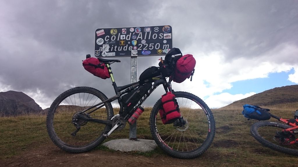
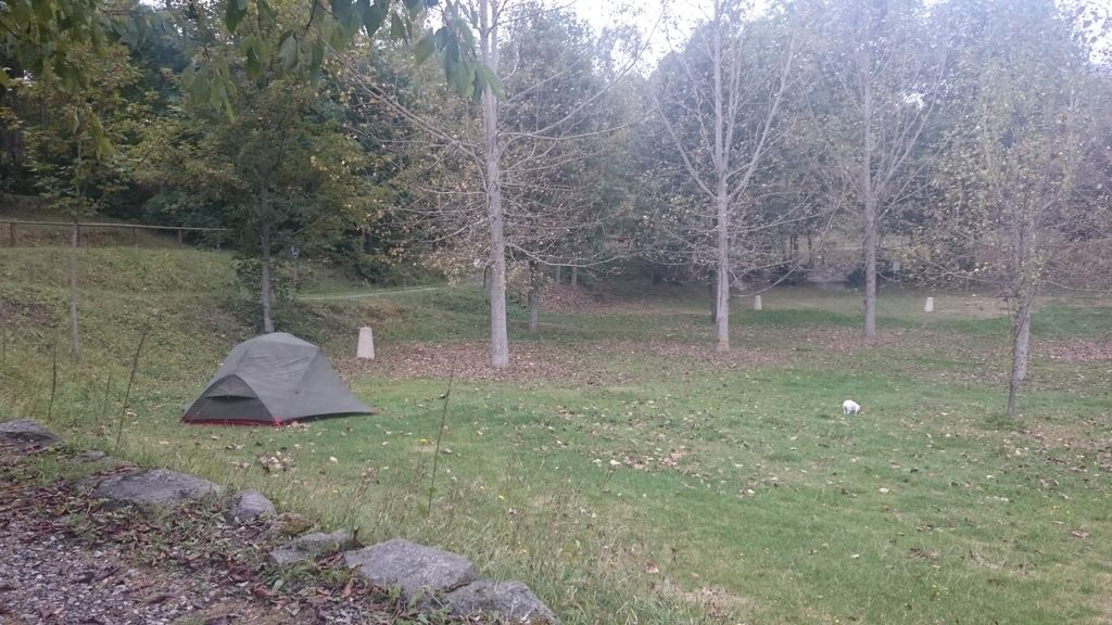
Day 11 – Colmars to (Above) Entraunes – 23km and 992m – sunny and clouds
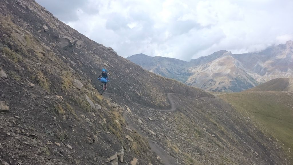
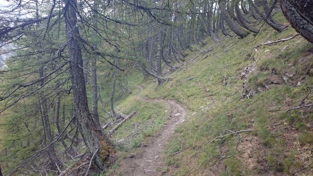
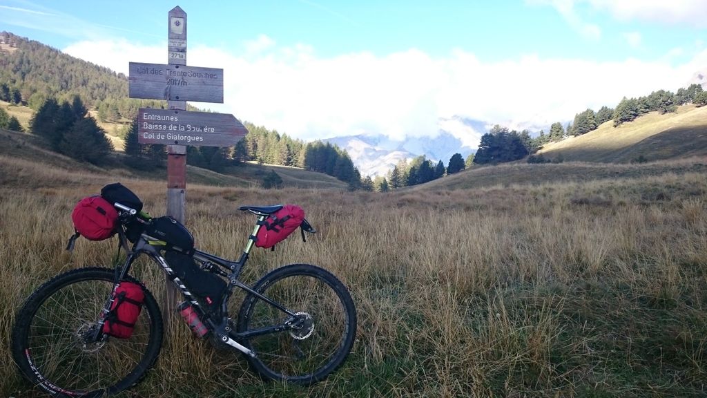
Very laid back morning as only planned on doing 20km and Will wanted to buy stamps and the post office didn’t open till 10am. We followed the road up Col du Champs as the path looked hard going. Scenic climb and had lunch at the summit, before following an amazing path down to Entraunes – rideable switchbacks with a few rocky bits for good measure.
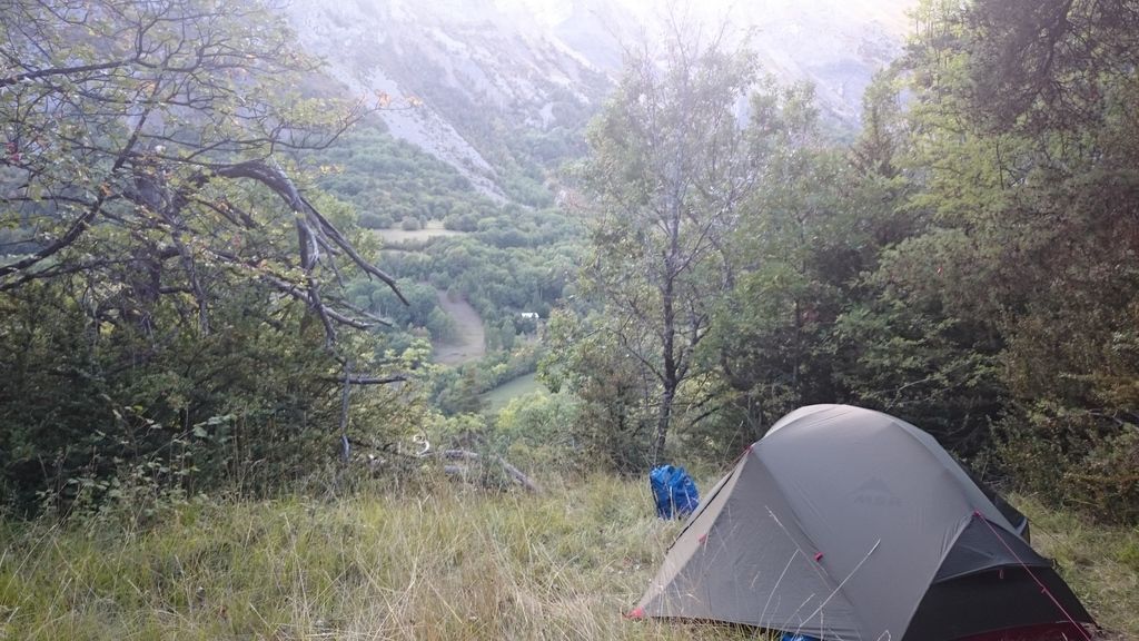
Turned out the campsite was shut (as of the 15th – but 30th was claimed online) so had an ice cream and headed up to find a spot to wild camp.
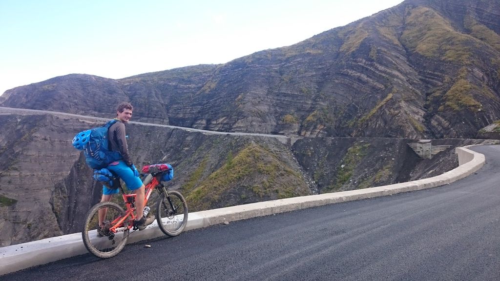
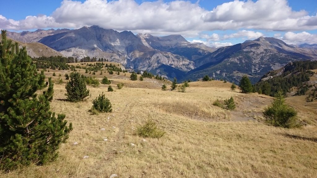
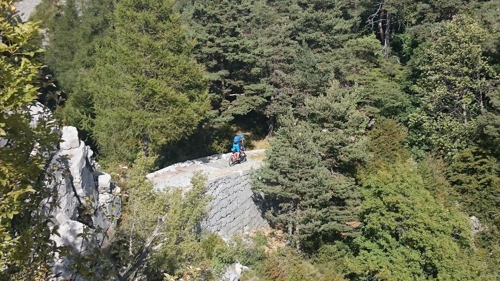
Day 12 – Entraunes to Peone – 33km and 1561m – sunny with clouds
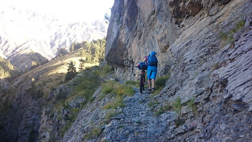
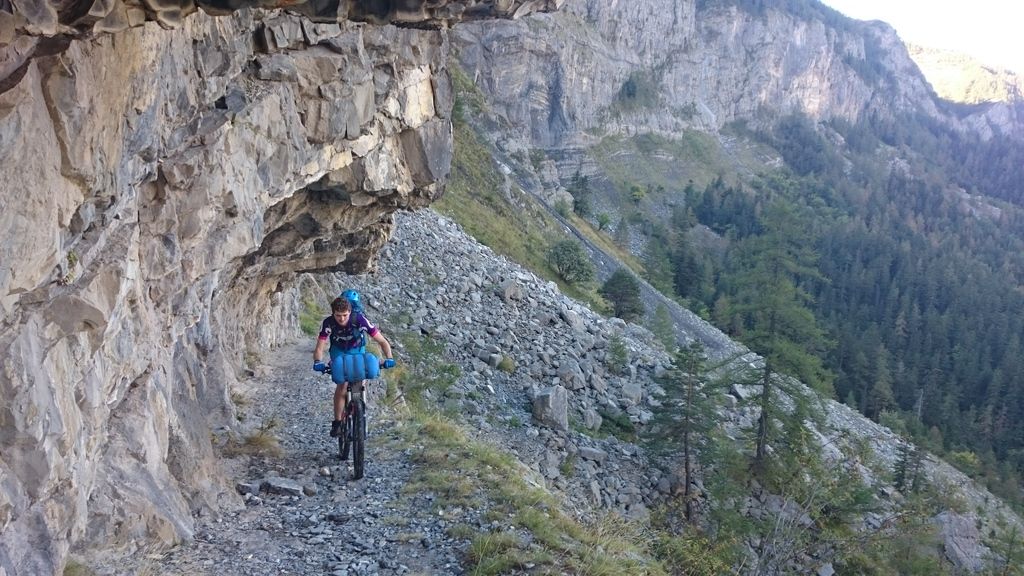
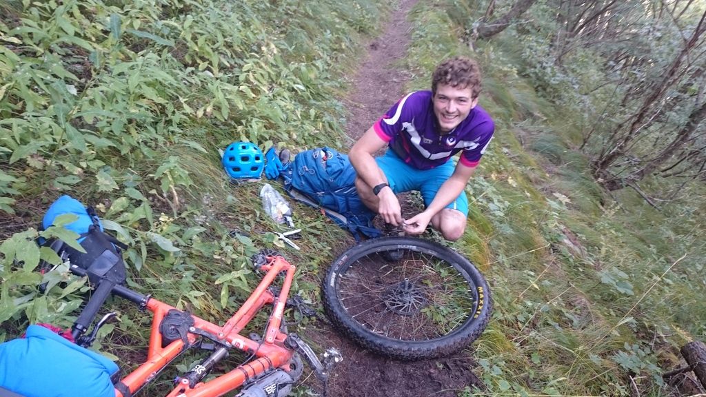
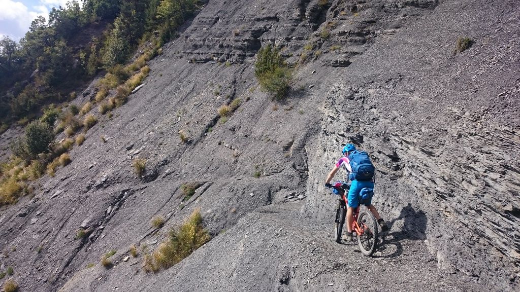
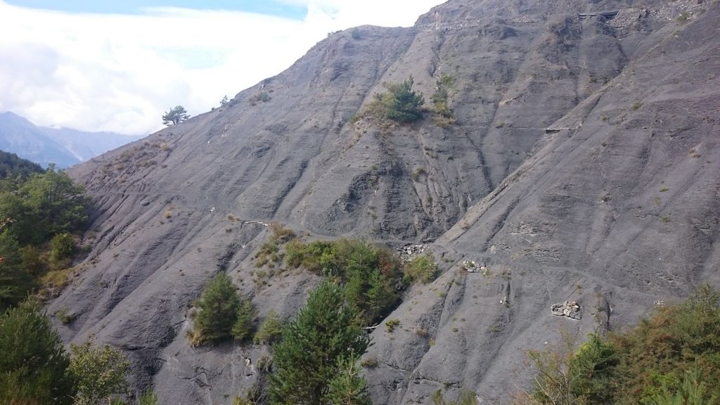
The day started with a double track climb to start but soon turned into a boulder garden scramble followed by the most amazing section of path cut into the cliff. Will realised he had broken a spoke at this point se we stopped to repair it – thank god for remove able freehubs!
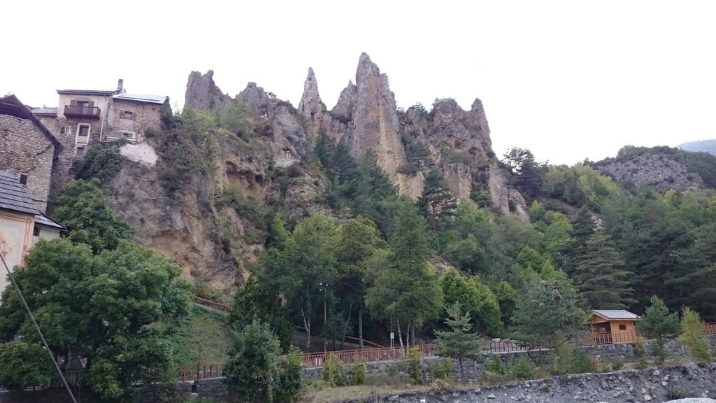
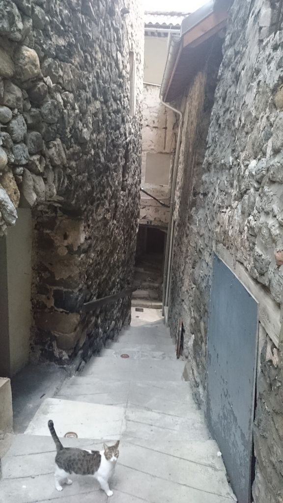
Rest of climb was an uneventful push up and start of descent was fun without being amazing. Will had a major crash, his life being saved by a small tree or he’d have fired himself off a cliff, this definitely made us think twice about riding some of the other sections from then on! Final descent to Chateauxneuf Entraunes was awesome and felt very lunar. Made it to Peone by 4pm and went for a wonder round the town (adopted a cat) to the restaurant for dinner – basic but nice lasagne.
Day 13 – Peone to Beuil – 15km and 560m – rain to cloud
Having made good progress over the past few days we decided to ride to Beuil via Valberg and then do a loop day around the Valberg area the day after without kit, as we had seen that the EWS had been there a week earlier – so there must be good riding. This meant a nice short day was possible and even did Carbonara from scratch for dinner!
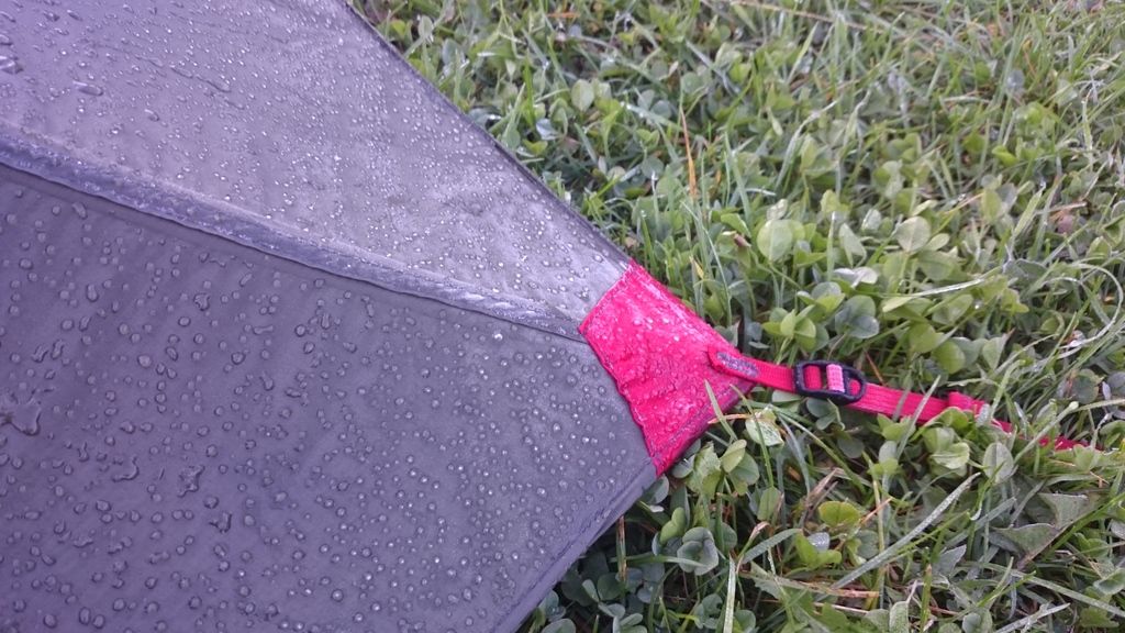 yes – that’s frost
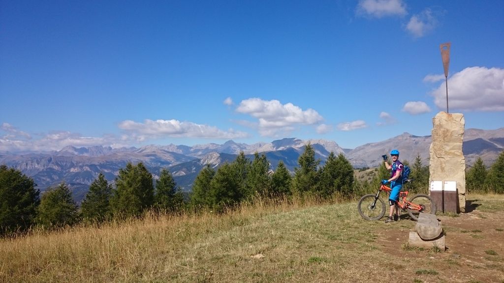
 Day 14 – Beuil to Beuil – (55km and 2341m inc lifts) 46km and 821m actual – sun
Air bed was flat in the morning which was annoying as I had been pretty good at making sure I’d done the valve up each evening . Great breakfast from our local bakery and we set off riding (sans kit 😀 ) and followed a local MTB trail up to Valberg – turns out one of the lifts was still running so we decided to splurge the 16 euros for the lift pass! It meant we could follow the route of a few EWS stages too…
Well it would be more fair to say we attempted to follow, I had more crashes in two runs here than in all the other days combined (rode 10% of the route)! But using maps and gps we put together some more suitable routes and had a great time! We had spotted one of the EWS stages practically ended next to the campsite day so we followed that down at the end of the – far more rideable (~80%) but still bloody steep!

Day 15 – Beuil to St Dalmas – 40km and 1281m – sunny!
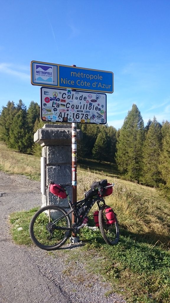
Flat air bed again – damn that meant a leak! Headed to our favourite bakery again to find it was shut! Long life pain au chocolate eaten we followed the road to Col de la Couillole with a varied decent down to Roubion, where we followed the gps, only to realised the path was shut and we had to follow the road down to St Sauveur-sur-tinee, not too bad as imagined I was Colin McRae in a WRC car pinning every corner!
Pastries bought and eaten we climbed up to Rampas where had lunch (great view), after lunch continued climbing up to St Dalmas where we stopped to camp – this was the last known campsite before Geneva. It was also our last opportunity to stock up in a small but well stocked shop!
Day 16 – St Dalmas to (near) Utelle – 24.4km and 1150m – sunny (evening rain)
Woke early due to flat bed so wondered down to bakery to find it was shut! bought some long life bread and started our last climb to over 2000m. It was crazily steep, not quite day 1 levels, but close in points. At the top we had an explore of a bunker (would have been rude not to) and spotted our first “Patou” guard dog, surprisingly friendly but kept an eye on us!
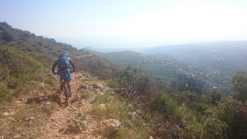
Most of the ridge was rideable and the descent was bloody hard, but I somehow managed to ride sections that I would have struggled to walk at the start of the trip! Did have to push over a crazily rocky steep section though (the pictures don’t do it justice)
Had a beer in Utelle and camped on a small plateaux above the village
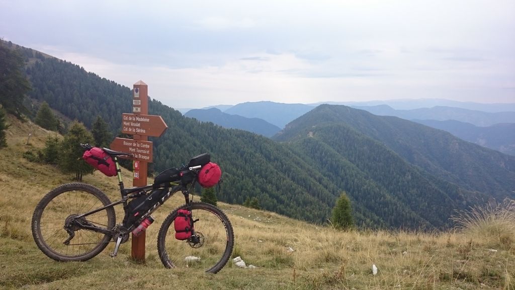
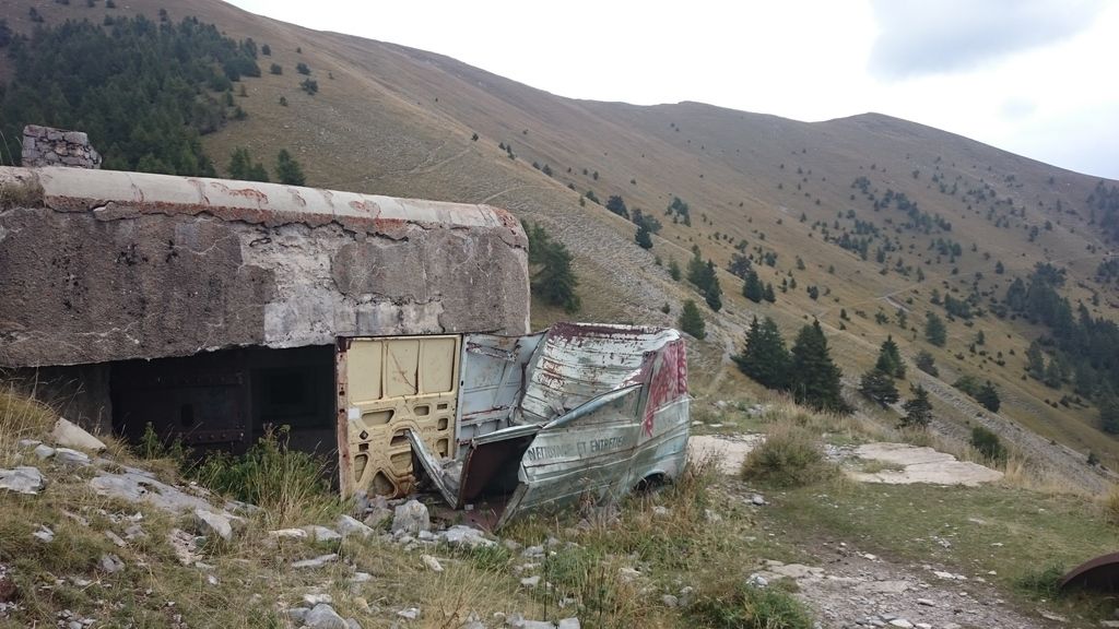 no idea how that van got up here?
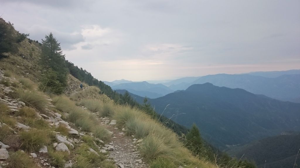
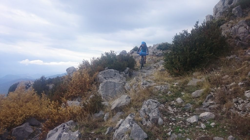
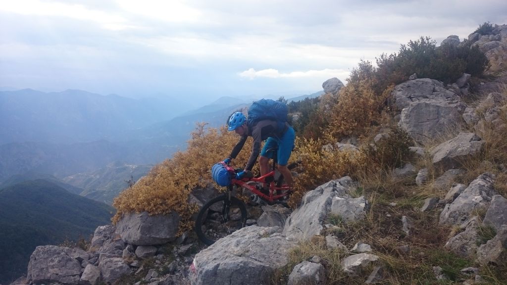
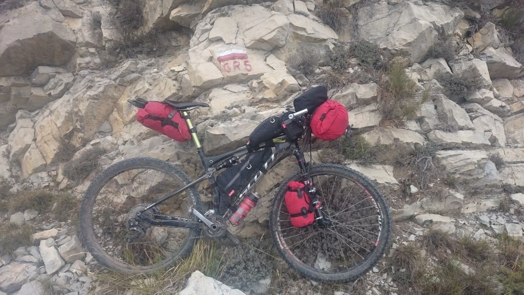
Day 17 – Utelle to Nice – 51.5km and 1000m – sunny
Seems the air mat repairs had failed as was flat again! Descent was easier than day before be tiredness and lack of concentration made it painfully tough going – so much so that I walked sections I knew I could cycle for no real reason. Got handed a bunch of grapes by an old lady so stopped to have them as a snack – very nice!
Climb up other side of valley was steep but manageable even though it felt very hot (really was only 23c). We followed a mixture of road and GR5 as wanted to get to the sea by 3pm, some of the off road was rideable but other sections were way beyond my tired state – Will had slow puncture due to lack of stans – pretty impressive really that we’d made it this far since out last issue when you think what we’d been riding!Made it to the sea – had a swim and headed to the camping which was still 12km away! We were also out of food so rode into town for a burger – was hard work after a long day but well worth it, although it wasn’t a patch on the Les Houches burger.
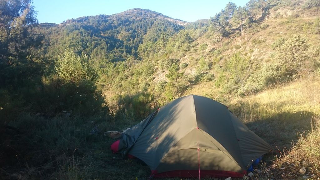
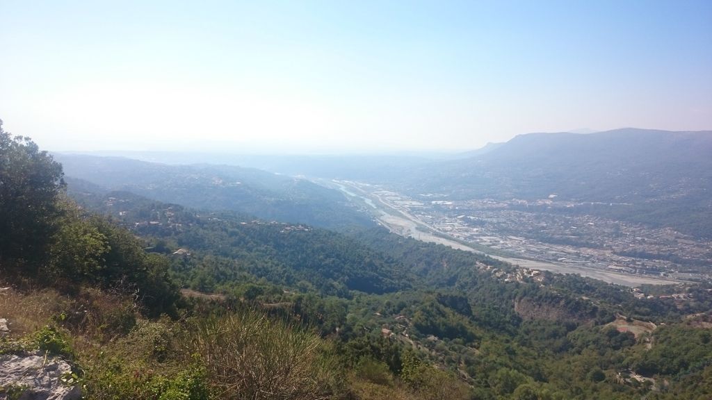
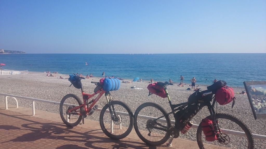
Day 18 – Nice to home – sunny
Flat mat again – nearly binned it but decided I’ll send it back to alpkit to see what they say (turns out they swapped it for a new one). We headed to town for breakfast, pain au chocolate and an apple tart – best so far! We then started our search for bike boxes…
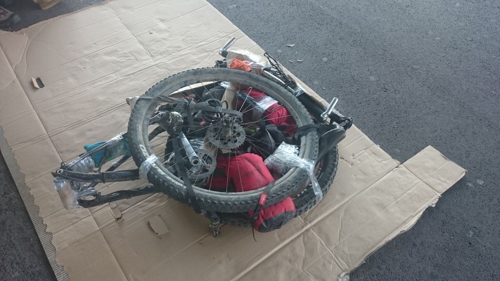
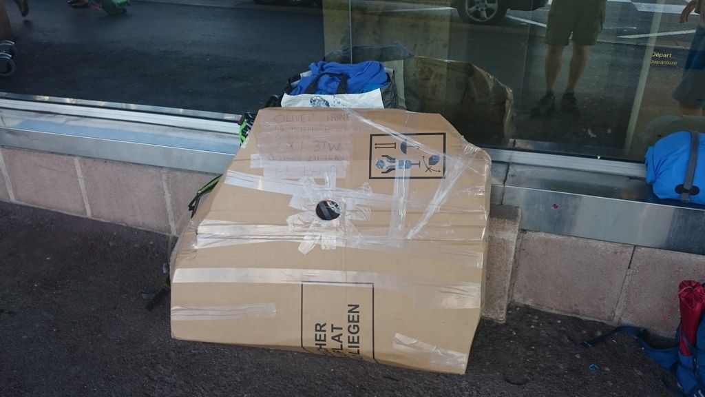
After riding 15km around Nice and only finding one big bike box and none of the supermarkets having any boxes we realised we were going to have to stretch it between two bikes (see pics) – but after a careful strip down they survived the flight! I didn’t even get time to check the bike was ok before having to pack and go to uni the day after I got home!
I hope I haven’t bored you to death, I honestly tried to let the pictures do most of the talking! (and still ended up with over 3000 words!) But overall it was an awesomely epic holiday with just the right amount of gnar! – already planning my 2017 trip!
A few more photos here and more pics to follow! (these are just the ones from my phone)
AmbroseFull MemberPosted 8 years agoBloody fantastic. Well done. To say I’m jealous is something of an understatement. Where are you off to next?
StonerFree MemberPosted 8 years agoBravo.
Its on my list of long distance walks to do, and I know some of the sections you did in the Haute Chablais. Quite a challenge with bikes and kit.
Great write-up.ampthillFull MemberPosted 8 years agoDidn’t read much text
But enjoyed the pics. Made me feel very old and unfit
slackboyFull MemberPosted 8 years agoReally enjoyed reading that, thanks.
Nice to see pictures of the roman road up from Les Contamines – one of my favourite places.
belugabobFree MemberPosted 8 years agoVery inspiring, and might influence my plans for next year (even if they are for on-road adventures)
I do find the picture onboard the train very depressing, as I could never imagine UK trains having hooks to hang bikes from.
vinnyehFull MemberPosted 8 years ago\thanks for taking the time to write that up, fantastic adventure.
oliverracingFull MemberPosted 8 years agoAs promised – more photos! These are my favorites from the selection (800) that Will took, I’ve managed to pair them down to the 28 that best sum the trip up to me!
As for next years trip, we missed out a section that is meant to be very good (mondane to Barcelonnette) as the weather was against us. Possibly do that next summer, or maybe Norway or Italy or Austria (in other words somewhere with good bikepacking potential)
So here goes and sorry for those on slow internet I’m sorry! Although you can’t say I didn’t warn you!
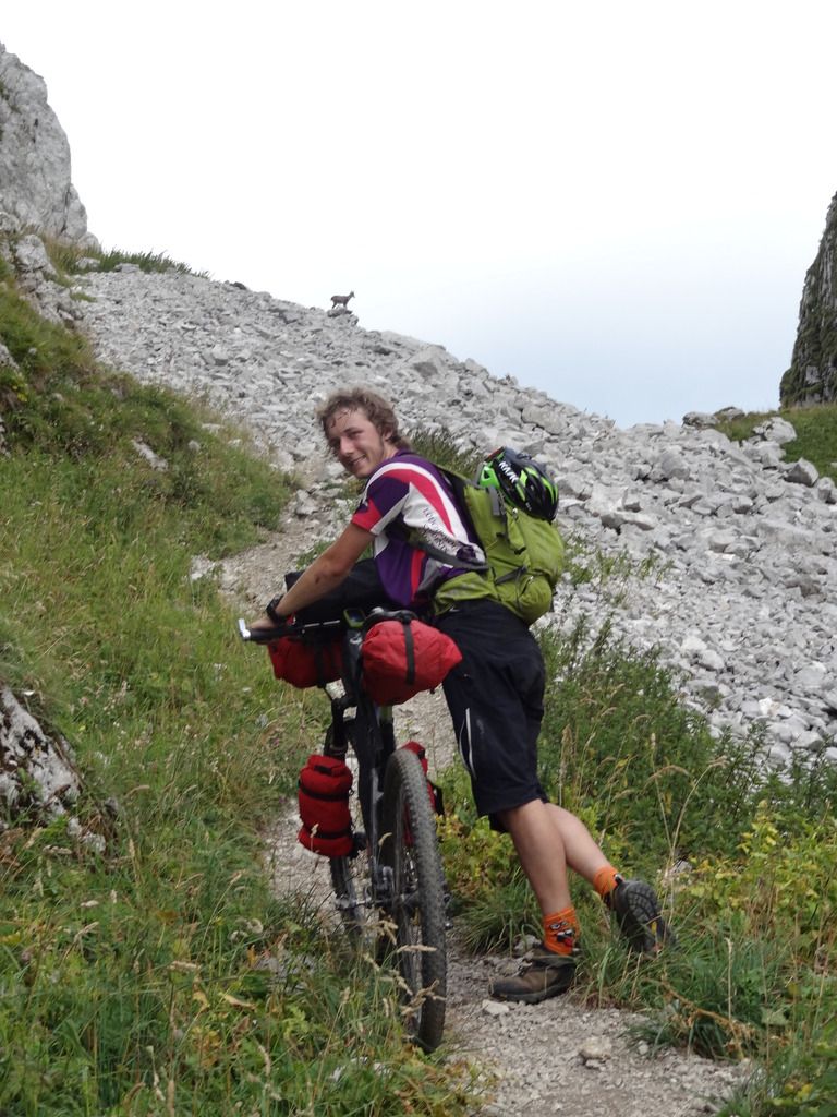 Day 1 – the ibex in the horizon!
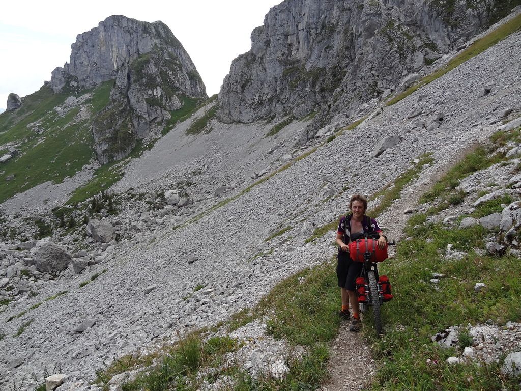 Day 1 – that was a lot harder than it looked!
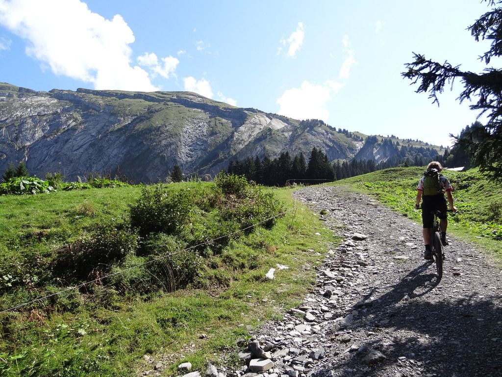 Day 2 – climbing without kit is so easy!
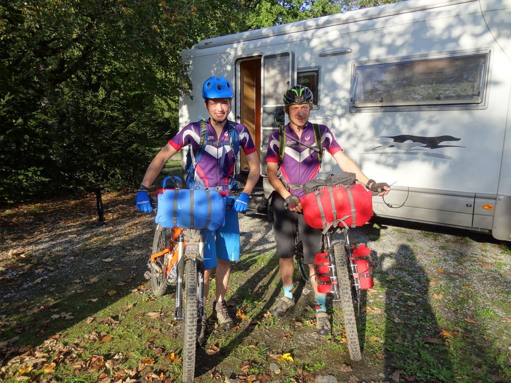 Day 3- pretty sure this is the only photo we have of us with out bikes and kit.
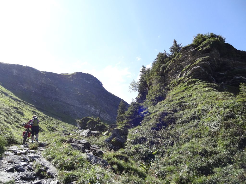 Day 3 – up towards col du Anterne.
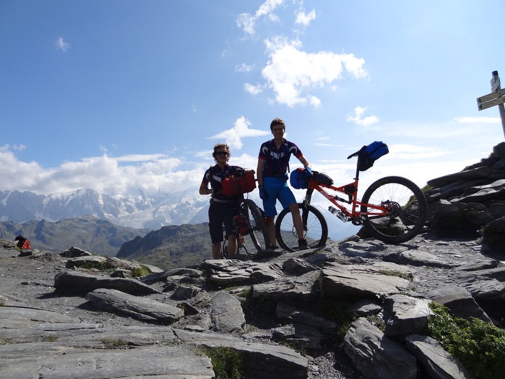 Day 3 – Mt Blanc in cloud from the col du Anterne.
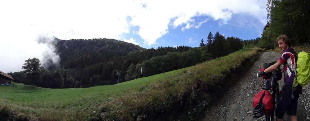 Day 4 – a lot steeper than it looks!
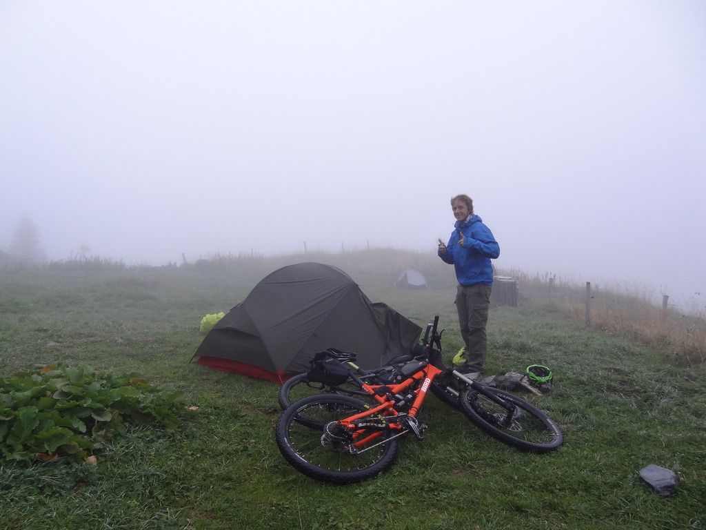 Day 5 – it was cold and wet – but good fun!
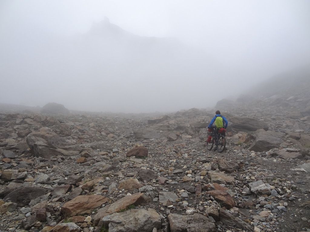 Day 5 – this sums up today’s weather.
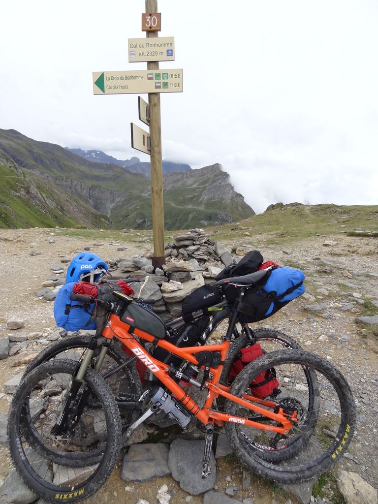 Day 5 – This was our highest pass that we did (but we did go higher)
 Day 5 – about as exposed as I am willing to ride
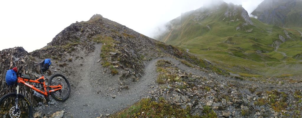 Day 5 – a nice arty photo for good measure
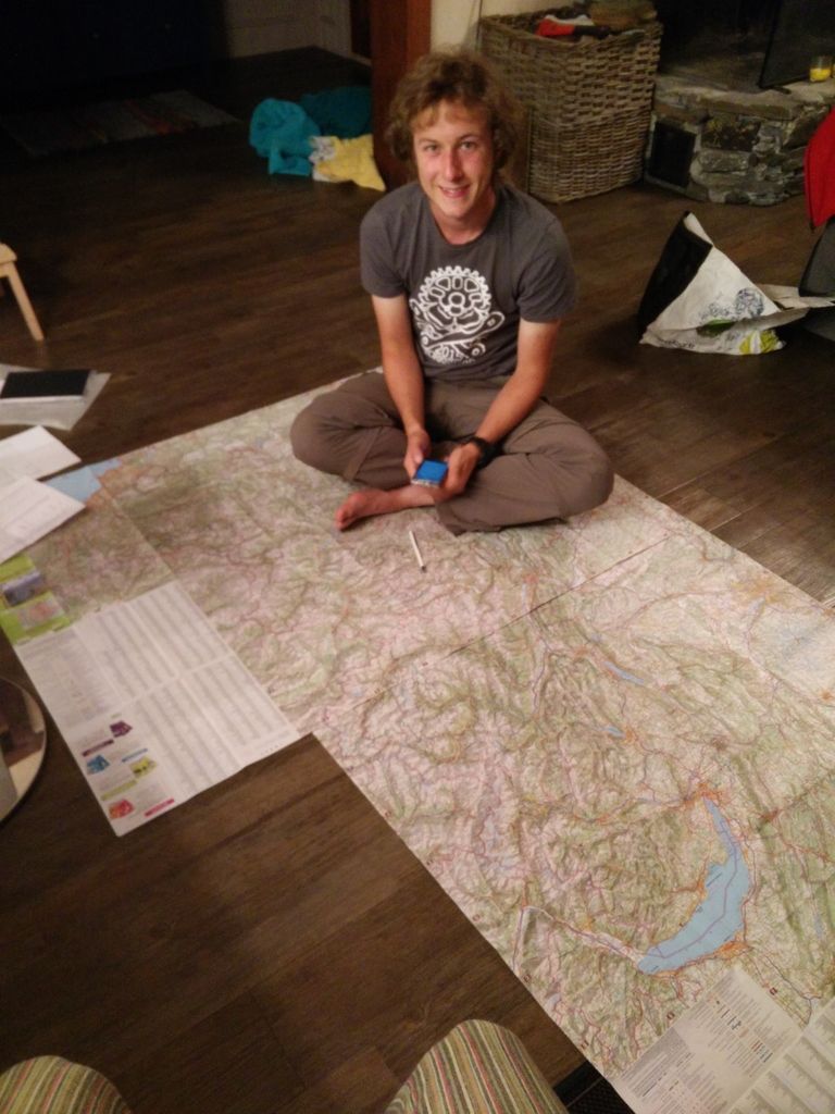 Day 6 – trying to work out where on earth we could go to avoid the snow!
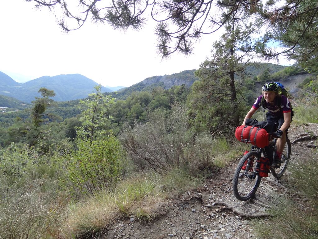 Day 8 – turns out Gap was 10degC warmer!
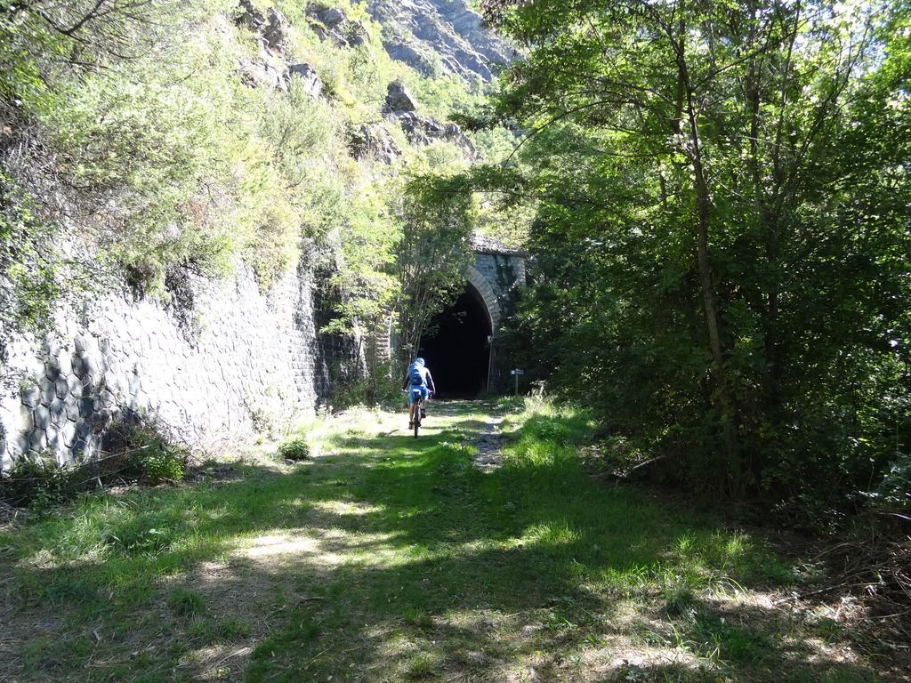 Day 9 – tunnels!
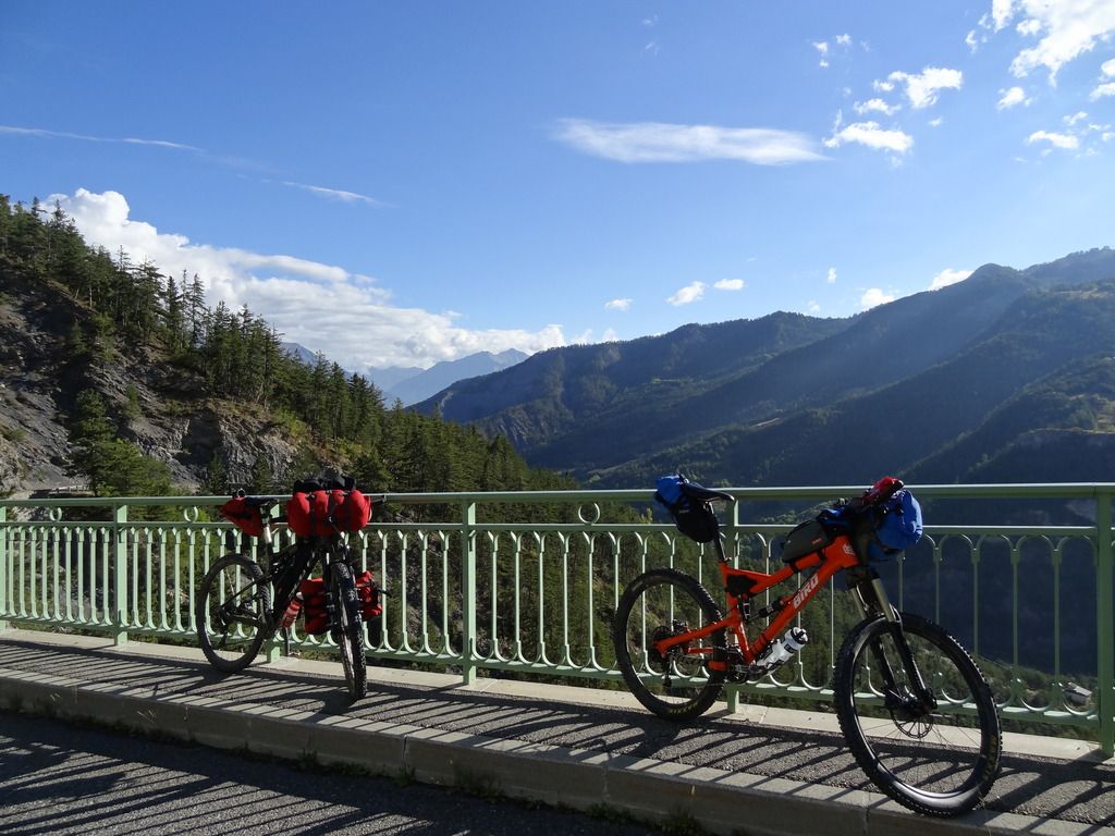 Day 10 – not a bad view
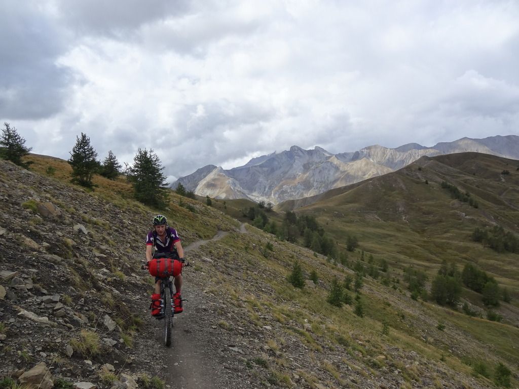 Day 10 – probably the best riding we did all holiday!
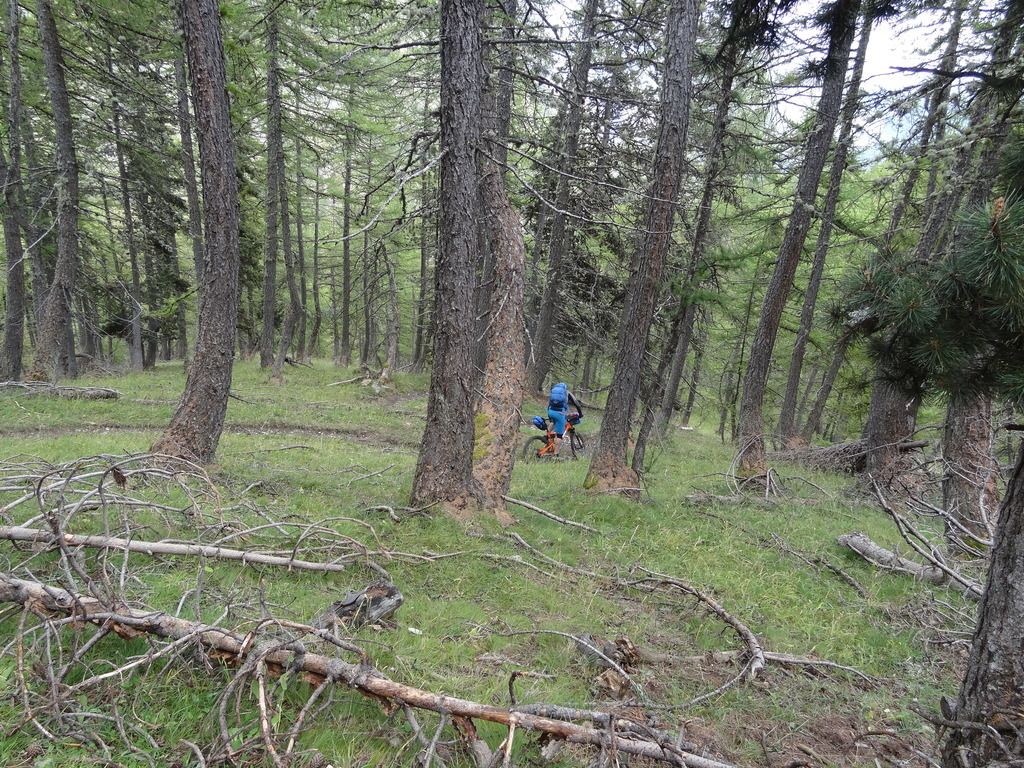 Day 10 again!
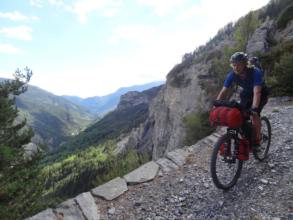 Day 11 – the good riding continued!
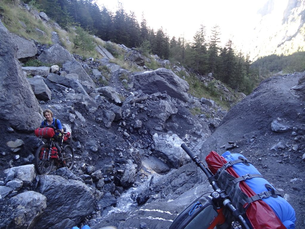 Day 12 – rock climbing! (you can see why Will broke a spoke!)
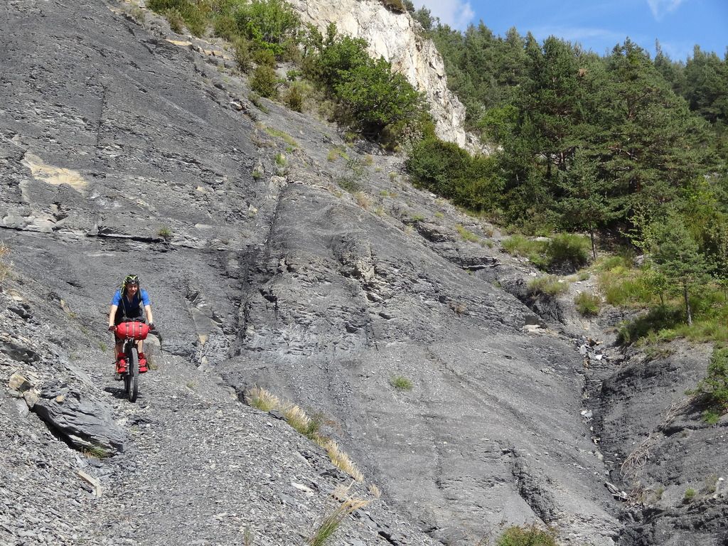 Day 12 – some pretty lunar feeling riding!
 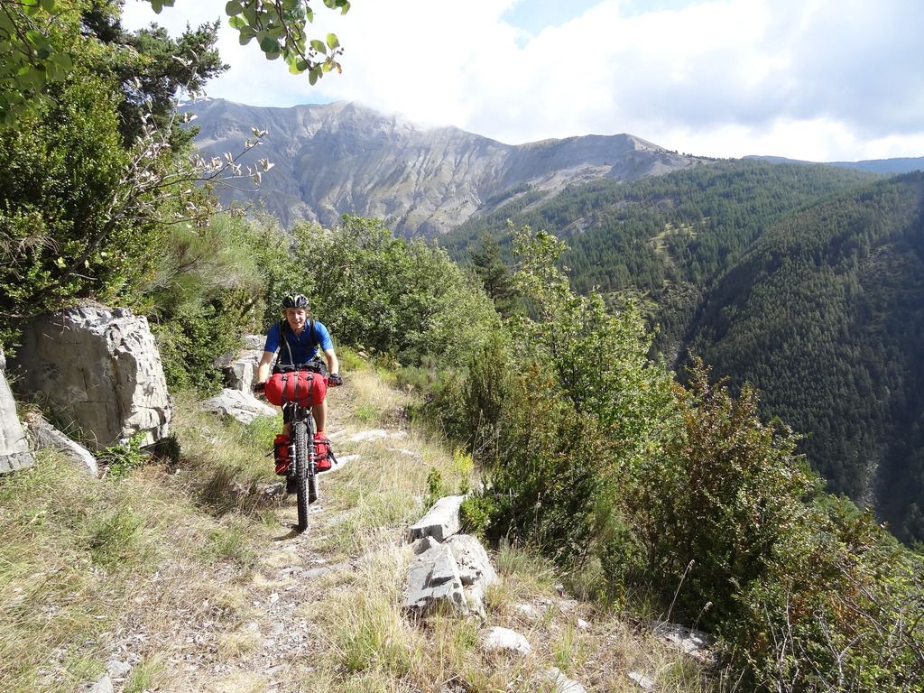 Day 13 – the weather was starting to turn, but just about kept dry
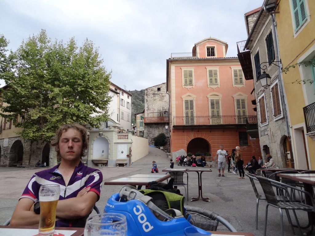 Day 16 – a well earned beer!
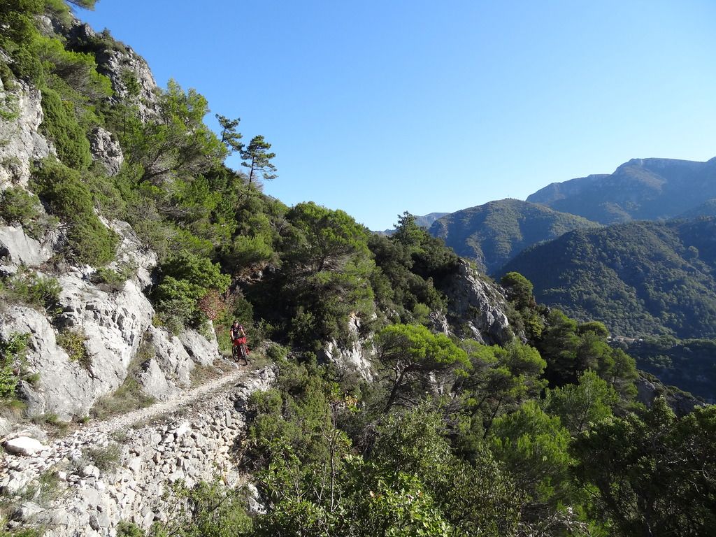 Day 17 – a fantastic descent from Utelle
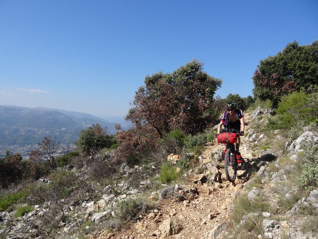 Day 17 – dropping into Nice!
 If you fancy scrolling through the 800+ photos – feel free
everyoneFree MemberPosted 8 years agoThought you were supposed to be doing uni work not farting about with pictures! 😉
Might have to get on this bikepacking lark when I’ve stopped buying silly things like houses and new bikes! Lakeland 200 or similar next year?
oliverracingFull MemberPosted 8 years agoThought you were supposed to be doing uni work not farting about with pictures!
Might have to get on this bikepacking lark when I’ve stopped buying silly things like houses and new bikes! Lakeland 200 or similar next year?
I have – I managed to get a whole 5 lines of code done… 🙁
I’m always up for a bikepacking trip! The Lakeland 200 is brutal with carrying kit (did it in april), some bits are harder than what we did on the GR5!
dumbbotFree MemberPosted 8 years agoFantastic adventure, …I also admire that your grasp of the native language is sufficient to win an argument with a French construction worker.
GillesFull MemberPosted 8 years agoSuper jaloux! Always wanted to ride the Massif of Mercantour, next year maybe.
Andy_KFull MemberPosted 8 years agoLooks great mate, you’ve actually done a couple of parts of the Trans Provenance too on the way, I have pics in the same places.
treemanFree MemberPosted 8 years agoNice Photos! I haven’t read the text yet but will later
I really fancy trying to do this, roughly how long do you think it would take to do the whole route without missing anything? I would want to stick to the GR5 the whole way (where it is legal of course)
oliverracingFull MemberPosted 8 years agoNot sure really, I reckon 20 days Geneva to Nice would be doable if you had decent weather and legs. The main problem is that rain and snow could easily add 5 days to that so would have to be taken into account for when booking flights.
I actually had the opposite problem the year before as it was too hot to be able to do long days.
One thing to consider when doing the full legal GR5 is that there are sections with ladders (between samoens and chamonix) which are very hard work with the bike!
AnyExcuseToRideFree MemberPosted 8 years agoHey! Great photos!
My brother saw this post and sent me it and actually thought it was me posting it at first as we did the GR5 from Briancon – Nice in August! And you two even look a bit like me and my mate haha! Here we are below…
 DSC03802 by Willy Gibson[/url], on Flickr
Looks like you guys took similar bikes and amount of kit to us, we decided to go with just sleeping bags and waterproof jacket in the handlebar bag and then the rest in rucksacks which worked out ok, we went a bit more lightweight with the sleeping arrangements though with just a groundsheet and tarp (you can see below) but I guess since it was August it was easier for us, and we actually ended up way too warm most nights!
I must say I don’t recognise many of the photos in your write up but then we only started in Braincon and we took the GR5 route not realising before setting off we weren’t allowed through the Mercantour national park with bikes until we arrived at it, by that time we didn’t really have another option and just risked it and rode through.
The only photos I really recognise of yours are the ones near the end where it seems we joined the same path, from the old van onwards, check out the photo below of our camp (and me in my sexy tights), you can see that old concrete structure and the old van up behind up on the hill!
 DSC04310 by Willy Gibson[/url], on Flickr
And then that photo we waited so so long for, of us riding down into Nice and the sea below!
 DSC04393 by Willy Gibson[/url], on Flickr
I’ve not uploaded many photos yet, except to instagram, but I am planning to do a proper write up on my blog if you are interested i’ll let you know when i’m done!
Anyway, nice photos! and awesome trip, we will have to go back and do the North half from Geneva – Briancon some time!
oliverracingFull MemberPosted 8 years agohe only photos I really recognise of yours are the ones near the end where it seems we joined the same path, from the old van onwards, check out the photo below of our camp (and me in my sexy tights), you can see that old concrete structure and the old van up behind up on the hill!
Yeah, that’s pretty much where we re-joined the GR5 proper (or about 15km before that)
I’ve not uploaded many photos yet, except to instagram, but I am planning to do a proper write up on my blog if you are interested i’ll let you know when i’m done!
Definitely! The Briancon section is the bit we had to miss this year so I am looking at doing next year, although will likely be as a series of shorter trips/loops accessed by car as I’ll likely be driving out to Le Mans anyway so it makes sense to continue out and make a proper trip of it! Roughly how did that section compare for you to the later section? I’ve heard it’s more rideable compared to the first and last 100km of the GR5
treemanFree MemberPosted 8 years agoFinally got the time to read through this. A few questions…
1) Was there any particular reason for catching a train to Gap when my (maybe slightly dodgy) local knowledge says you could continue on to Ebrum or Briancon and been able to do more of your route?
2) Why and how did you decide to carry a tent? Most reports I’ve seen people seem to Tarp it.(as “anus” did)
3) One of you is carrying a fair amount more kit than the other, was this deliberate or just a case of not being able pack light?
4)Ladders? I thought it was a relatively easy walking route as my Nan did it a few years ago? Is most of the route rideable or did you end up walking lots?
5) What did you use for navigation? The map you’re sat on seems to be pretty large scale for cycling off road!
oliverracingFull MemberPosted 8 years agoStarting to regret adding all those pictures as takes 30 seconds to load!
1) Was there any particular reason for catching a train to Gap when my (maybe slightly dodgy) local knowledge says you could continue on to Ebrum or Briancon and been able to do more of your route?
We could have gone to Ebrum or Briancon, but I remember the was a step up in price and it would have also meant catching an early train to be able to get to Gap early enough.
2) Why and how did you decide to carry a tent? Most reports I’ve seen people seem to Tarp it.(as “anus” did)
Funny you ask this – I was up for using a tarp but Will bought a tent that was only a few 100g heavier while having a lot more protection!
3) One of you is carrying a fair amount more kit than the other, was this deliberate or just a case of not being able pack light?
We actually carried similar kit amounts, I had more on the bike due to a slightly dodgy shoulder making riding with a bigger pack uncomfortable. I don’t think it made a huge difference which way we did it as each had it’s merits (mine was a lot better for road climbs as less weight on my bum, Wills was better when carrying the bike)
4)Ladders? I thought it was a relatively easy walking route as my Nan did it a few years ago? Is most of the route rideable or did you end up walking lots?
Ladders – yep the section straight after Samoens has ladders and is hard going (did in 2015) and have heard the section just before Chamonix involves ladders too(hence our detours), the rest is walkable within reason. Most off road singletrack (and a fair amount of the doubletrack) climbing was walking as was just too steep to ride with kit. Most descending was rideable, if a little slow as was moving 20kg of bike and kit around on techy tracks – still great fun though!!!
5) What did you use for navigation? The map you’re sat on seems to be pretty large scale for cycling off road!
We each had a GPS device with maps, I had open source maps, Will had IGN maps. We also had 2x 1:200000 maps of the whole alps so we had an overview. We found the GR5 signs good enough even in terrible visibility but was thankful for a GPS dot to confirm we were on the right track
Feel free to email me with any questions or route help! (offer open to anyone)
The topic ‘GR5 Geneva to Nice 2016 – Picture and Word heavy’ is closed to new replies.
