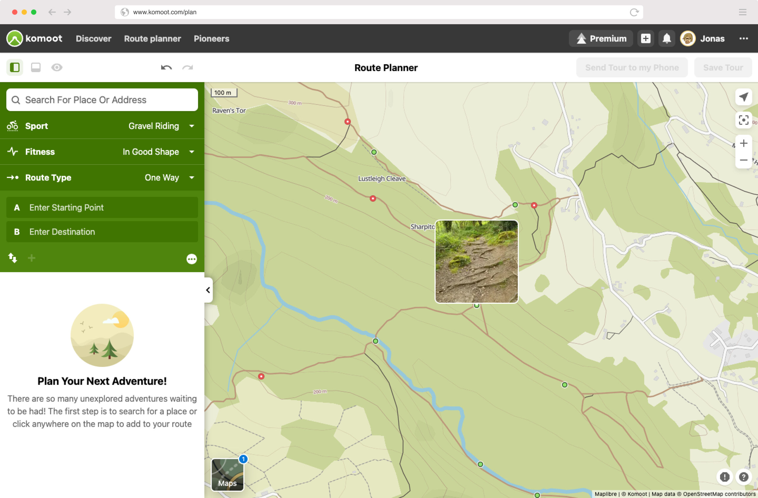
Komoot Trail View is Google Street View for… y’know, trails!

by 7

Komoot Trail View uses over 15 million user-sourced photos and mixes in a bit ‘AI power’ to come up with a way of visually inspecting what the trail and terrain will be like.

The overall idea according to Komoot is that “Trail View helps the outdoor community to make better-informed decisions as to whether a specific trail is suitable for their sport and experience level”.

How to use it
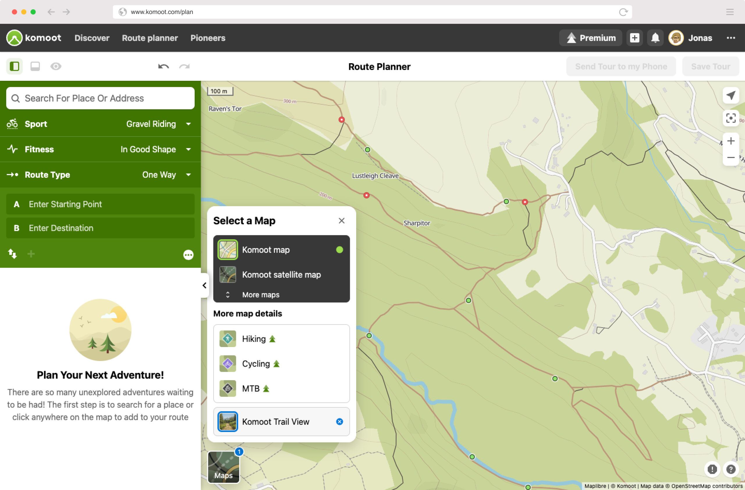
First of all, Trail View is currently rolled out on the desktop version of Komoot. So don’t go looking for it via the phone app just yet.

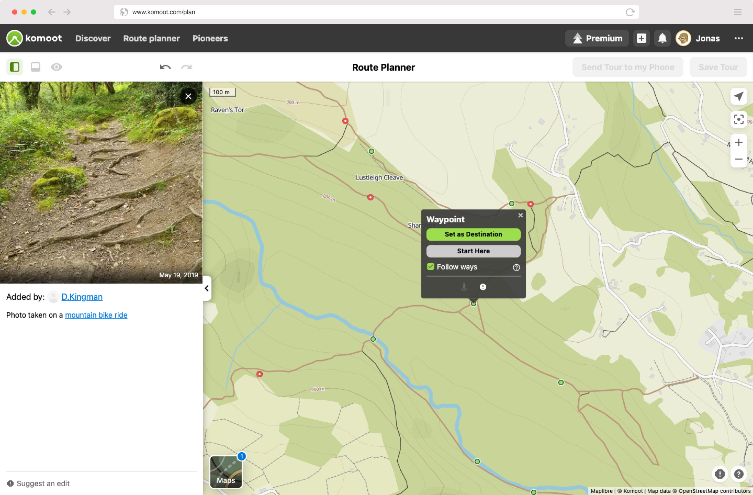
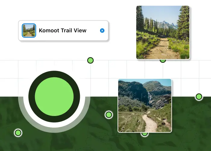
The AI-curated pics show up as green dots on the Trail View map layer in Komoot. When these dots are clicked on – images that have been contributed by other Komoot users are revealed.

Image recognition technology is used to curate images and filter out those that are unhelpful or feature “faces, animals, landscapes, buildings etc.” Trail View scans all uploaded images and shows only those with paths and trails.

Photo filtering

Although there are 15 million pics on Komoot submitted by around 28 million(!) users, after the Trail View AI has filtered out what it needs to filter out, approximately one million images remain that show trails and paths.

One million pics is still a lot. And the Trail Viuew function should only get better as the people submit more informative images of trails to help others to visualise their ride before heading out into a new area.
What Komooters are saying

Lael Wilcox, ultra-endurance cyclist and Komoot ambassador: “With Trail View, I can easily see if a trail is something for me or not. I can see if it’s rideable or if there are photos of obstacles that somebody took recently. It also means I can scout a whole area that I am not familiar with and get a feeling for the trails and roads I’m going to be riding.”

Rob Hermans, Product Manager Maps and Navigation at Komoot: “We are in a privileged position to be able to leverage such an amazing volume of user generated content to return a tangible benefit to the entire community.”

Jonas Spengler, CTO at Komoot: “Trail View is such a great example of how innovation and AI intersect to empower people to plan better tours with confidence.”

komoot.com

Join our mailing list to receive Singletrack editorial wisdom directly in your inbox.

Each newsletter is headed up by an exclusive editorial from our team and includes stories and news you don’t want to miss.

Signing up to our mailing list is not only a great way to keep up-to-date on all things Singletrack but it is also a great, free way to support us.

Sign up to receive awesome editorial content from Hannah every week.

We appreciate how handing over your email address is a mark of your trust in us. Check your inbox for our confirmation email and click the link to activate your newsletter.
We don’t spam! Read our privacy policy for more info.

Check out a previous newsletter here

While you’re here…

https://singletrackworld.com/wp-content/uploads/2022/06/issue-143-classic-ride-scar-house-loop-nidderdale/
https://singletrackworld.com/wp-content/uploads/2022/04/issue-142-classic-ride-the-glorious-peaks/

Orange Switch 6er. Stif Squatcher. Schwalbe Magic Mary Purple Addix front. Maxxis DHR II 3C MaxxTerra rear. Coil fan. Ebikes are not evil. I have been a writer for nigh on 20 years, a photographer for 25 years and a mountain biker for 30 years. I have written countless magazine and website features and route guides for the UK mountain bike press, most notably for the esteemed and highly regarded Singletrackworld. Although I am a Lancastrian, I freely admit that West Yorkshire is my favourite place to ride. Rarely a week goes by without me riding and exploring the South Pennines.

More posts from Ben

Home Forums Komoot Trail View is Google Street View for… y’know, trails!

Viewing 7 posts - 1 through 7 (of 7 total)
  • Komoot Trail View is Google Street View for… y’know, trails!
  • scotroutes
    Full Member

    geograph.co.uk does much the same. A very useful planning tool for explorers.

    PJay
    Free Member

    The story feels a bit like an advert disguised as an editorial; it seems very glowing.

    I find that Komoot has potential that it never seems to realise. I find it rather fiddly and lacking tools for content creation and for searching/finding other users’ content. I’ve had mixed success with its routing (but have only done small amounts of trip planning). It’s great for finding interesting locations to explore.

    The Trail View feature doesn’t really work like Google Street View, it just seems like an alternative to the Komoot Highlight – just a placeholder for a static image, although I guess it’s work in progress and it’ll be interesting to see how it progresses.

    I really like the premise of Komoot and its focus on recreation rather than fitness/competition but it’s always felt unfinished and somewhat underfeatured but it is perfectly useful without having to sign up for the paid services.

    scotroutes
    Full Member

    I use Komoot for route planning but not for recording. I’m guessing that only photos from recorded routes make it into the photo selection. I might try recording a couple to see if they pop through.

    leffeboy
    Full Member

    I quite like that.  I’m terrible at remembering which parts of a route I’ve done are the nice bits so I’ve tended to take photos and put them into Garmin Basecamp, so it’s good to no longer have to do that and to have more than just what I’ve take.  Wonder how long before it becomes a ‘premium’ feature.

    BadlyWiredDog
    Full Member

    The story feels a bit like an advert disguised as an editorial; it seems very glowing.

    Yes. Is this advertorial / paid-for content?

    PJay
    Free Member

    I think what’s happening is that Komoot is recycling photos that have previously been uploaded to users’ routes.

    I get the feeling that there’s an algorithm that’s picking out geotagged photos. and using AI to decide if they show a trail/road surface then added them to the Trailview layer. It’s certainly useful, but a million miles from Google Street View though.

    Cowman
    Full Member

    This is a nice thing. That I think I will use. It’ll only develop I’m sure.

    The best thing that exists at the moment are YouTube ride guides linked to Strava (etc) the best of which is TrailFinder. His videos are fab. Very much like a video guidebook, find one you like and go to the Strava Page and download the route.

Viewing 7 posts - 1 through 7 (of 7 total)

You must be logged in to reply to this topic.