It’s not a new app but it’s been in the news recently as quite a lot of emergency services are recommending we all download it. The What3Words app segments the entire planet into squares of 3mx3m and each square is designated a simple and unique combination of just three easy to remember words.
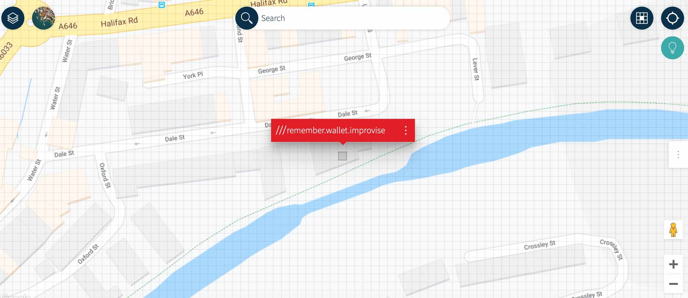
For example, the Singletrack office front door can be addressed as perfectly.monument.everybody The resolution is good enough that we can find an address for individual rooms too. Below is the W3W address of our office kitchen.

The BBC recently reported on a story where a walker became hopelessly lost after taking a walk through Hamsterley Forest, County Durham.
After wandering around for hours with no phone signal or data with which to help find her way out, she found enough signal to be able to phone 999.
The operator told her to download the app and within minutes the emergency services new where she was and was able to rescue her.
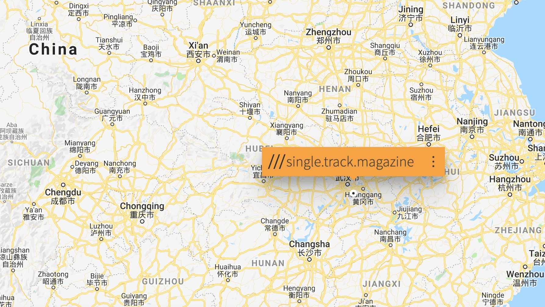
Oh, and here we are. In China.

No data? No problem
One of the features of the app is the ability to find your What3Words address even if you have no data signal. The database is stored within the app itself and so if you have no data but can make a voice call then you have all you need to let others locate you.
We can certainly recall a list of past incidents out on the trails where this app would have been useful.
What3Words Forum Funnies
Now our own forum users have been making themselves familiar with the app and typically have not only used it to plot their own locations. Instead they’ve taken three word forum classic phrases and located them around the world.
For example, here’s badger.badger.badger – which looks to us like prime mountain bike territory close to the Canadian border in Washington State, US.
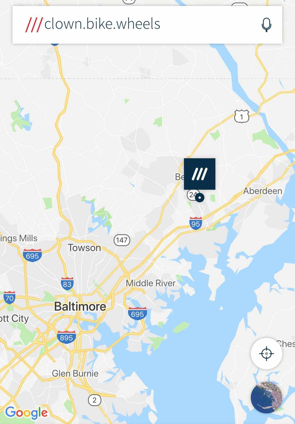
or this one..

In the forum thread entitled “What 3 words STW meme challenge” you will find many more examples of Forum themed What3Words locations.


We are sure you can find you own comedy locations. Copy the links in the comments below and you make us laugh we’ll send you a t-shirt.
On a non-bike theme stays.same.really is the US Capitol building in Washington, which may be amusing depending on how your sense of humour, or politics stand.


We found ourselves in Hyderabad..
https://what3words.com/single.track.worlds
///bike.broken.help is in the paradise valley stake centre….
https://w3w.co/bike.broken.help
China appears to have bigger problems.
https://what3words.com/resident.grumpy.located
Be careful of urban hazards, otherwise you’ll be…
https://w3w.co/over.them.bars
Learn.map.reading.
Just.use.gridrefs.
Dont.be.stupid.
Dont.get.lost.
****.battery.flat.
Bollox.no.signal.
Not helpful if you don’t have a smartphone (like me). Last year while out in Surry Hills my friend suffered a back injury and I had the OS grid reference from my GPS only to be told by the emergency services that she couldn’t do anything with it ! Wanted a postcode. We got sorted in the end thanks to some local walkers talking to them but seriously not knowing what to do with a OS grid reference is a pretty serious failing.
This is good as long as it’s not relied on as the only option. This, post code, grid reference, latitude-longitude should all be options to pinpoint your location.
@petercook80 Last time I did a navigation course (many years ago) we were all taught to give a full OS grid reference. The first time I had to use this (a couple of year’s ago) to get an ambulance for a walker on a bridleway with a broken hip after a fall, the ambulance service call centre did not know what I was on about. They were obviously using Google Maps and we both fumbled around with suggestions of place names.
@linusr Not very good is it …. after my incident I did contact mountain rescue service and they replied saying that the OS grid reference ‘Should’ be recognised by the emergency services but that it heavily depends on the area. He said he would raise it at the next inter services meeting.
@petercook80 It is not very good. I would have thought that location was the most important aspect for the emergency services. I was going to do a first aid in the outdoors course and presume that identifying an accurate location would be a part of this. So I’m wondering if what is being taught matches what the emergency services call centres are using.
https://what3words.com/awaken.generating.hamsters
I’m a little bit skeptical. However, as above, if emergency services can’t use grid references and are expecting postcodes then perhaps something needs to change. That being said, I don’t think I’m I’m going to have a W3W app on my phone just in case. https://shkspr.mobi/blog/2019/03/why-bother-with-what-three-words/
@petercooke80 Similar experience happened to me whilst riding home across Salisbury Plain Training Area phoned the Police to report some potential hare coursers inside the range danger area. Got put through and was asked for a street name, explained I wasn’t on a street but a byway and there were no streets nearby, then asked for a post code, I asked the operator if I could give her an OS grid reference and told no, then she said what part of Salisbury, Salisbury Plain was in. By which time the potential hare coursers had realised they been rumbled, drove past me and were probably half way across Somerset.
Emergency services inability to receive an OS grid reference, for whatever reason, is something I’ve stumbled upon when trying to report a crime in progress in the country. I was asked for streetname (there wasn’t one), postcode (well there was, but it covered a several sq kms).
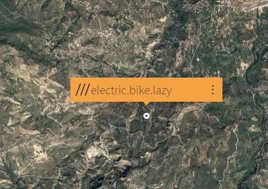
Does that mean I get a tshirt for my https://what3words.com/electric.bike.lazy 😀
not thrilled by the suggestion that EMS don’t do grid Refs, it was part of our geography lessons in Y9 and again at A-Level with the express direction that we should ALWAYS walk/ride with an appropriate OS map and if things went south the EMS would be able to pinpoint where we were quickly and reliably!
Perhaps we should ask the EMS to go to https://gridreferencefinder.com and put in the grid reference. Then maybe they will be able to help.
From Scottish Mountain Rescue
Our post on OS Locate yesterday prompted a bit of discussion, with people asking for the SMR view on What3Words.
People that go in to remote places in Scotland should go prepared and this includes an ability to navigate. The best, most reliable way to navigate in the UK is with a map (and compass) based on the ordnance survey grid, which has existed for 100 years and can specify a location to 1m x 1m (more accurate that any GPS device). This grid is a standard language for all hill goers and mountain rescue teams, one we are familiar with and one that is common with other emergency services that respond to a call for help.
Teams will deal with whatever location information is provided to the best of our ability, including sometimes vague descriptions of the shapes of rocks or cairns, but we always need to convert that information in to a grid reference to enable us to use an OS based map to determine the safest and most efficient route to assist.
W3W has its uses in the modern world, some of those have been mentioned in earlier discussion. But for us as rescue teams perhaps the single most useful piece of information we can have that allows a speedy response is an accurate OS grid reference, the sooner we get that the better.
One, but by no means the only, means of acquiring an accurate grid reference is the free OS Locate app that we posted about yesterday.
#ScottishMR #VolunteeringtoSaveLives
While I agree that grid refs are the best way to get the job done, here IN THE REAL WORLD, hardly anyone (on either side of the call to Emergency Services) understands them AND has an OS map to hand; whereas smartphones are pretty much ubiquitous.
Keithr: so what your suggesting is if you haven’t got a smartphone with a particular app loaded you are stuffed ……
You don’t need to understand them or have an OS map to hand , all the emergency services need is to be aware of them and be able to type the reference into a suitable system such as gridreferencefinder.com and you have an exact location. GPS units will give a grid reference of where you are so neither party needs to have an OS map to hand or a lot of understanding, so in the ‘real world’ it shouldn’t be a problem to use as you put it ‘the best way to get the job done’
https://shkspr.mobi/blog/2019/03/why-bother-with-what-three-words/