Im trying to find the bits below. I rode them back in 2006 but cant , for the life of me remember where on the map they are . Can you help or add some extra good bits ?
[IMG] 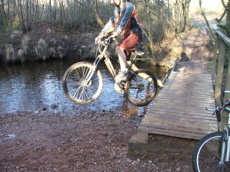 [/IMG]
.
[IMG] 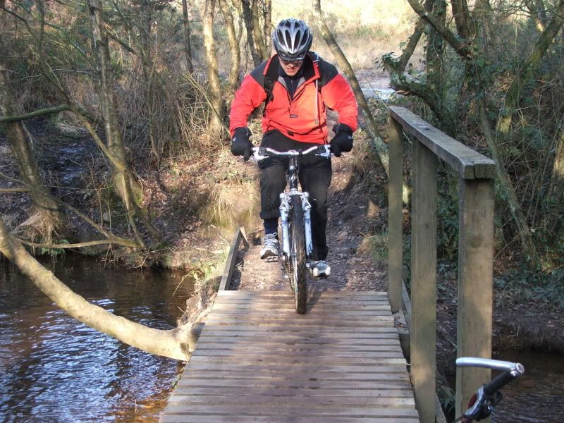 [/IMG]
.
[IMG] 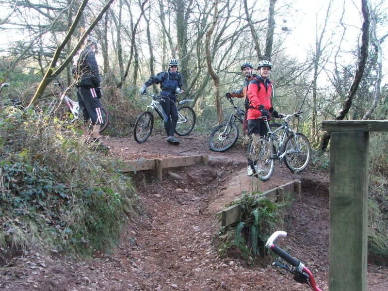 [/IMG]
.
[IMG] 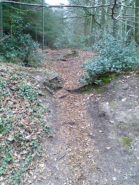 [/IMG]
.
[IMG] 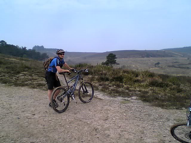 [/IMG]
.
[IMG] 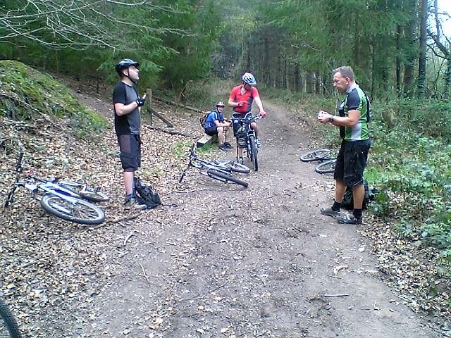 [/IMG]
.
[IMG] 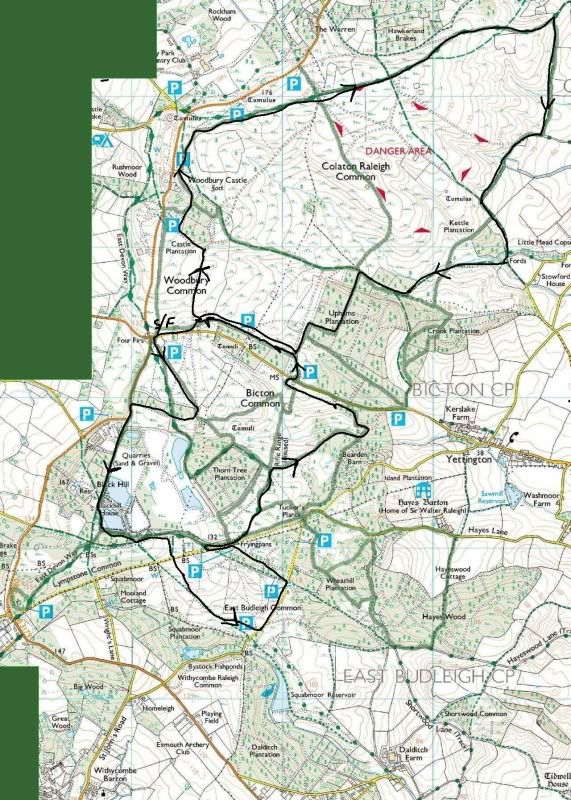 [/IMG]
Keeping an eye on this thread... I've ridden Woodbury a couple of times and not seen anything like this up there?
I ride the above route(map) once a month there is great single track. Do you ride the bits on my map ?
To be honest I don't really know - it was a while ago now and all I remember is most of the bits I need were 'gravelly' and not much single track? Be great if you have that map in a bigger format though?? 🙂
a few pics here from woodbury http://photobucket.com/wbc
plenty of single track to ride perhaps you might join us some time ?
That bridge is easy to find as is the other view out over the common.
Bridge - see where it says kettle plantation, below is one of the arrows on your map. Somewhere either in front or behind that arrow there is a track which goes down those steps in your pic and the bridge is there.
I'm just working on the rest hang on.
ok.. I'm gonna say that you're probably riding within feet of the bridge and steps on that route..
to the South west of Kettle plantation just above Uphams you'll see two squares of woodland.. I'm fairly sure that your bridge is in there.. The photo of the large vista looks to be taken from the track that runs along the SW edge of the danger area.. possibly at the top of the trail that leads down to the bridge over some northshore type stuff.. I would say that your bottom photo is on the bridleway to the west of Crook Plantation..
It's quite difficult as I've never looked at a map of the place and I've got a stinking headache so trying to orientate from the screen is making my eyes water..!!
Bridge 50.673815,-3.344641
Which is where me and near where yunki has described it. The green arrow is where the bridge is, the star or black arrow is the view.. Don't recognise the rest. Is there a better map of woodbury? PS there is some much better stuff, but I think you would need to email me or meet me up there as it might not be fair to publish here..
Essentially as you approach kettle plantation, instead of staying on the perimiter track you cut across the top of kettle plantation and that brings you down to that bridge.
I've only been riding there since 1990..
[IMG]  [/IMG]
the wide open picture second from bottom to me looks here:
to the left of bearden farm (3 along 3 up) you have an arrow on the trail, just abit further along following the direction of the arrow a dashed footpath comes from below, it is on the black line where that foot path joins. picture taken facing NNW towards the castle.
DOH ! I have jsut clicked. Lordy, you and I both have it wrong. I know exactly where the wide open one is taken , its looking down over the valley with the underwater tunnel thing. As you go down the track from the underwater tunnel, there is a river crossing, you go up a steep incline towards a wood, take the left fork, single track climb to fireroad. Foto taken from fireroad back towards single track climb. That isnt the castle in the distance its a clump of trees thats often full of marines..
toys... trust me.. ive got it right 🙂 and your description is leading to exactly where I have placed it!
the close clump of trees is the bit where the marines go, there are some tunnels on the other side. Just out of shot to the right down in the valley is where the Sheep dip is. far distance is the castle. if there is any doubt I will go there and geo-tag a photo! 🙂
yeah.. I'm way off looking at again.. even with me glasses on..
Do I detect the rumblings of an East Devon chapter forum ride in the offing..?
[img]  [/img]
[img]  [/img]
[img]  [/img]
yeah lordy, when you put it like that its right! I just didnt understand it first time ypou wrote it. We are describing the same place, see my pics below.
[IMG]  [/IMG]
[IMG]  [/IMG]
ok.. location right... angle slightly off!! 🙂
Easy to mistake that clump for the fort, I did too thats why I intially
thought it was somewhere else.
We should all meet up!
Was watching this thread, had to join in! Yunki, those steps in your last photo do me - I've only cleared that climb twice and I ride there a lot. Am I rubbish?
The picture with a younger looking Trailmonkey in it is at the bottom of the '(very) little Alps' area where there are quite a few jumps, singletrack trails etc. On the map you've put up that is where the green trail line heading west from just above the word Crook in Crook plantation meets the bridleway.
Once you have messed about in here for a bit and are where the pic is taken head up the steep fireroad into Uphams plantation, once at the top look left and there is another trail that skirts a field down to the car park on the four firs-Yettington road.
nacho - depends on the weather.. not much grip on the pebbles when it's dry and dusty
🙂
(younger than what..? Gandalph...?)
Woodbury ride out... +1
I'd be up for it, nice to meet a few fellow STW's on my home turf 🙂
I'll go for it sometime too! 🙂
I'll be up for a Woodbury trip - just gotta build my bike first!
Ok , lets sort a stw ride there soon . Thanks for the help locating the trails too.
would I have ridden the trail behind to get here ?
[IMG] 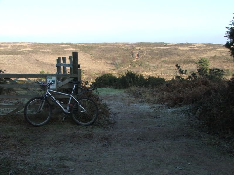 [/IMG]
I think its changed a bit since that photo , possibly steps now (yunki's 3rd pic ?)?
a few of us are up there on thurs at 18.00 meeting at the model aircraft carpark , more than welcome to join in,dont expect a race around, will be a nice pace around, not sure on what route tho.
I'm up for a group ride.
I used to ride there a lot with my springer spaniel but I haven't been there for about 6 months as i've moved to Dawlish. It would be good to learn the trails as i always used to get the feeling i was missing out on something when i was exploring by myself
If anyone likes getting up early when it's wet and cold, I'll probably be heading over to Woodbury Common for blast on Sunday morning. If you'd prefer to stay in the warm, I really wouldn't blame you...
