
MegaSack DRAW - This year's winner is user - rgwb
We will be in touch
I'm looking for a bit of software to create a 3D topo of a bit of woodland and way to layout some track and create a fly through.
Any recommendations or opensource software out there?.
Linkies, alternatives, workarounds ???
Provided you have the necessary data, you can create a DEM, overlay the aerial imagery and add (vector?) in the track in a GIS suite. IIRC there's LandSerf (Google) which IIRC isn't too painful to use and does everything you need. There's also GRASS available through the gnu.org thingymajig, but I've never used it...
Checking out OpenStreet now 😯
I was wondering if some sort of game engine might be an option.
Found this...
http://iss3d.com/
but..
$ 3,452 USD
I'm fairly sure that you don't just mean something as shit as this but it came from google earth - no idea about flythrough but if it's woodland, presumably your flythrough wouldn't work very well from aerial shots??
[img] 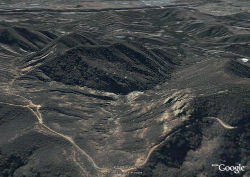 [/img]
@scaredypants
More of a rider view. Even it's only basic 3d trees etc. Not looking for humps, jumps, drop etc. Just following a wooded (or open) trail down a hillside.
Trying to get a gist of what a trail may run like and much we can fit in.