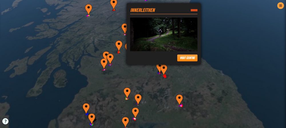
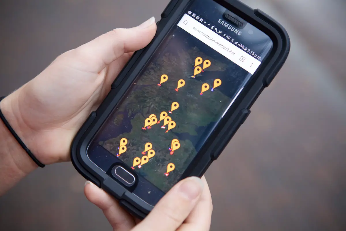
Aiming to bring all of Scotland’s popular riding destinations into the one handy location, a brand new website has launched to do exactly that. Featuring many of the favoruite hotspots such as Innerleithen, Glentress and Nevis Range, the interactive map allows you to search all around Scotland to discover trail centres that might be new to you as well.
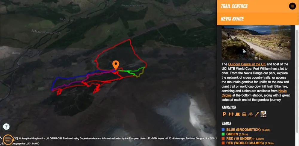
Each trail centre listed on Scottishmountainbiketrails.com includes detail about the type of riding available, the difficulty rating and distance. Click on a specific trail and helmet cam footage will be beamed out to you via a short video. That’s particularly good if you haven’t visited a trail centre before and you want some visual clues as to where it starts, or an indication of what the riding is like. Pretty neat!
Check out the full press release below;

Press Release
As part of an international conference, Developing Mountain Biking in Scotland (DMBinS), are delighted to announce the launch of a new innovative mapping project which brings Scottish trails to digital life.
Over the last two years DMBinS have been gathering content from trail centres to build a fun interactive map for riders to explore the great network of purpose built trails that Scotland has to offer. The 3D terrain animation with supporting video invites users to browse trails they have never been to before and with the camera controls, they can roam the 3D terrain as the videos play to enhance the visual experience of the trails in Scotland. Video overlays provide additional elevation and grading guidance.

Graeme McLean, project manager of DMBinS, said, “This project has been an amazing achievement and will serve to highlight the great riding we have in Scotland. It is an innovative and pioneering project using cutting edge technology and we are the first country in the world to visually display all trail centres on virtual mapping software. You can find it live at ‘scottishmountainbiketrails.com’. This Scottish Mountain Bike Conference this year is focussing on innovations in the sport and it is a perfect opportunity to launch this fantastic project.”
DMBinS were successful in securing funding through Commonwealth Graduate Fund to employ Eilidh Wells, a Geomatics graduate of University of Glasgow and keen mountian biker. Eilidh approached DMBinS with the results of her masters project where she examined the accuracy of mobile GPS data collection methods.

Eilidh said “I studied Geomatics at university (geographic data collection and processing) and as a keen mountain biker was able to combine my studies with the discipline for an Msc project. Off the back of the university project I had an idea to further my skills by researching how to display data. Still fairly new to mountain biking, I felt there was a great source of information dotted about the internet but there was no simple map containing all the purpose built trails to bring this information together.”
“After initial research into data display methods, I travelled around Scotland visiting all the trail centres. For each trail, headcam footage and mapping data was collected along with supporting photography. Having only visited a few trails in Scotland before, this was an amazing experience. Fun to ride but hours of data processing. This final product will I hope encourage riders to explore just what Scotland has to offer them.”
View the map of Scottish trail centres at www.scottishmountainbiketrails.com
Comments (1)
Leave Reply
Post Comment

I’m surprised there’s that many trail centres in Scotland.