- This topic has 42 replies, 23 voices, and was last updated 8 years ago by Sandwich.
-
Walking up Snowdon
-
Tom-BFree MemberPosted 9 years ago
….how much navigation/map reading is involved?! It’s not really a strong point of mine tbh!
Quite fancy making the most of my week off given the lovely weather though. Will I die?
sierrakiloFree MemberPosted 9 years agoThe llanberis path which is the easiest requires very little Nav skills, but is quite a “slog”
Much better scenically and fairly easy to follow is the Miners Path from Pen-y-Pas.
fathomerFull MemberPosted 9 years agoMe n the wife went up the Miners and down the Pyg I think (may have been the other way around). No map, just followed the signs, was pretty east tbh.
rascalFree MemberPosted 9 years agoWalking ie not with a bike?
There are loads of ways up – where are you staying?
By far the most tideous (and quite long) is the Llanberis path (tourist route that intertwines with the coco-shunter train.
Best avoided TBH – that’s the one most people ride/push up too – fast decent but lots of human targets tend to be in the way.There’s the Pyg and Miners Tracks from Pen y Pass so lot of height gained by car/bus.
Pyg Track’s ok – Miners Track runs below Pyg but they meet higher up.
Car park there gets rammed very early but bus goes that way – I think the Snowdon Sherpa still runs – someone will be along to tell me I’m wrong soon though 😉The classic Snowdon Horseshoe starts and ends at Pen Y Pass too. This is the most dramatic route – involves some sphincter-twitching Grade 1 scrambling though so don’t do it it you’re scared of big drops/exposure/unsure. This is about 7-8 miles IIRC but can be quite time consuming. Shat myself on Crib Goch first time but was fine 2nd time.
The Watkin Path from near Beddgelert is a quiet, long but interesting way up.
Not as obvious as some of the routes and involves crossing a scree face near the summit of Snowdon which can be quite loose underfoot.Not done the Snowdon Ranger or Rhyd Ddu – these come from the southern approach road (Beddgelert to Caernarfon). Bikers tend to use the Ranger Path a lot more these days (which I’ll do soon I think).
If I was doing it for the first time again I’d do the Pyg Track as not too far, plenty to look at and you won’t get lost.
Plenty of info online. You’re spoilt for choice TBH!
PS Will you die? You could if you screwed up on Crib Goch!
jkomoFull MemberPosted 9 years agoMe, a mate and 4 kids, 10 and 13 did it on Thursday. Had a fab time. Walked up from Ryhd Ddu, which is quite a hardcore route apparently, then down Rangers taking a left following some marker posts, back to RD.
We had a couple of pointers to get us started, and there was one point when the directions were useful.
I had a UK map app on my iPhone which I had downloaded the close up map before we left. This gave us our exact position and showed the paths.
It took six hours thirty mins.BristolPabloFree MemberPosted 9 years agoIt really depends what you want, a good day out or simply to just say yeah I’ve walked up that. The Llanberis track does the latter, its dull but very easy, its the longest too and pretty much follows the train track up so you are always “safe” as it were. Most paths are very easy to follow and no nav is required, even crib coch has a very defined route. I took a friend up via crib coch, he had never walked/hiked/climbed before but was sensible when it came to the climbing bits, took care with his footing and declared it a most enjoyable day. He did it all on Marlboro lights and bottles of coke too. The PyG track is good fun too, the walk to the reservoir is easy enough but from there is does get more interesting.
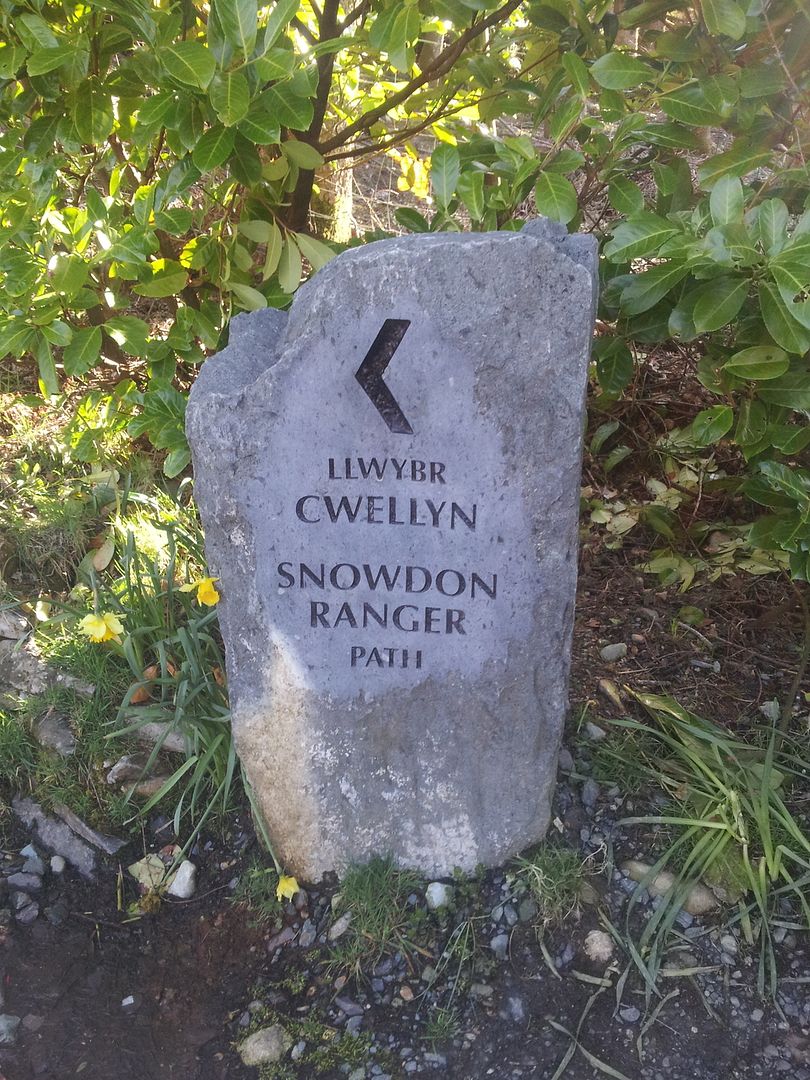
Tom-BFree MemberPosted 9 years agoPossibly going to do the Ranger path I think….I may stay at the youth hostel overnight rather than driving straight home after the walk.
Cheer for the info, I’ll print a description of the route/map before I go I think.
tillydogFree MemberPosted 9 years agoTake a map and a compass, too. And know where your route goes.
None of the main routes needs map reading per-se, but do require ‘situational awareness’, so that if the cloud comes down you have a good idea of which way you *should* be walking, and roughly what to expect on the path so that you will *know* if you’ve gone wrong.
It can be as simple as knowing which direction to walk off the summit – I’ve heard of people heading down the wrong path and ending up tens of miles from their starting point. I once met someone at the top of Garnedd Ugain once who asked me where the cafe was (wrong mountain!).
Whatever the weather when you set off, you could get engulfed in freezing fog at the top (hopefully not).
Plenty of people have missed the turn for either the Pyg /Miner’s track or Snowdon Ranger, in fog, and started down at the wrong place. Some died.
The Miner’s / Pyg track above the lake also gets a bit indistinct in places, so can be a bit tricky to follow in poor vis, leading to people ending up in places they’d rather not be.
So: Take a map and a compass, too. And know where your route goes.
The Watkin path is my favourite.
Enjoy 🙂
jambalayaFree MemberPosted 9 years agoAs above you don’t need a map or particular skills not least as there will be lots of other people using the popular routes. TBH in my experience finding a parking space is the biggest challenge ! We went up Miners down Pyg. There are maps/signs in the car park. Now I always take maps as I am a map geek and of course if the weather deteriorates it can make all ten difference safety wise. It’s also useful for identifying other peaks / features. Also as @tilly says getting up is one thing but finding your way back to your starting point can be a challenge. The OS is a great asset to us all so give them a few quid and buy a map 🙂
antigeeFull MemberPosted 9 years agoCheer for the info, I’ll print a description of the route/map before I go I think.
…..and check the forecast – if not familiar with mountain navigation low cloud could make a good day out a bit of an epic
…The Llanberis track does the latter, its dull but very easy, its the longest too and pretty much follows the train track up so you are always “safe” as it were.
except in winter when the tracks can get covered by drifting snow – long time since lived in Bangor but seem to recall that most winters a few walkers will go over the top of Clogwyn Y Coch to an early grave – the cliff top is very close and hard to spot in bad conditions
maybe not applicable in April but you never know when an STW thread will pop up again 😉agent007Free MemberPosted 9 years agoShat myself on Crib Goch
Oh so it was you then was it, Grrrrrrrr!
As others have said, park at Pen y Pass (get there very early if you want to guarantee a space) and head up via Pyg or Miners track. If you want to make things a bit more interesting on the way down then head back via Lliwedd (easier half of the Snowdon horseshoe) but fantastic views and saves backtracking on yourself.
Or you could try the South Ridge from Rhyd Ddu. Not many do but they’re missing out.
Rangers or Rhyd Ddu are a bit of a slog I find, not as scenically interesting IMO as the routes above.
peterfileFree MemberPosted 9 years agoYou definitely don’t need to be able to navigate in mountains in poor weather, just phone MRT if you get stuck/lost.
flyingmonkeycorpsFull MemberPosted 9 years agoShh! Don’t tell people about the South Ridge. It’s awful, you’ll hate it. There’s packs of wolves just waiting to eat you. Horrible, horrible walk. Definitely not the best, quietest route up Snowdon. Oh no.
jambourgieFree MemberPosted 9 years agopeterfile – Member
You definitely don’t need to be able to navigate in mountains in poor weather, just phone MRT if you get stuck/lost.Feel the indignation 🙂
Whenever I hear these story’s about the great un-hosed going up mountains in flip flops and having to get rescued, and the inevitable middle-class “scum shouldn’t be allowed on mountains” outrage, it occurs to me that the heroic chaps at Mountain Rescue obviously enjoy it or they wouldn’t do it surely? So if there was no working class getting themselves into scrapes on the mountain then they wouldn’t be able to get the toys/helicopter out, and could end up out of a job/hobby.
I await my flaming.
peterfileFree MemberPosted 9 years agoNo. MRT do it because they want to keep mountains accessible and as safe as possible for everyone.
It is slightly disappointing when you read of rescues that use lots of man hours and put rescuers in danger simply because the person didn’t use common sense or take basic precautions. Rescues that were 100% avoidable.
Not sure where you’re getting the class issue from? I’ve not heard that one before, it’s the other way round in Scotland if anything.
But yeah, crack on anyway, MRT love it and have an unlimited pot of money to piss away on rescuing people who didn’t bring enough cucumber sandwiches for a winter attempt at Aonach Eagach.
When I hear of people heading up mountains with absolutely no idea what they are doing and then getting into difficulty, I harbour no ill will at all and I’m glad when they get rescued…but I do think of them like children who get their heads stuck between railings.
rusty90Free MemberPosted 9 years agothe heroic chaps at Mountain Rescue obviously enjoy it or they wouldn’t do it surely
Yeh, just like those paramedics and firefighters who love driving fast with blues and twos on. You wouldn’t want to spoil their fun by not having an accident or setting fire to your house would you?
jambourgieFree MemberPosted 9 years agoYeh, just like those paramedics and firefighters who love driving fast with blues and twos on. You wouldn’t want to spoil their fun by not having an accident or setting fire to your house would you?
Not taking anything away from those guys, but that’s their job. They receive financial remuneration for it. If there wasn’t any accidents they’d be on the dole. Am I missing something? Ok, my first post was a bit of a joke, but the point stands; from an incentive/economic standpoint, idiocy and accidents are good for the services in one way or another. Though I understand the point about being diverted from more ‘deserving’ accidents.
peterfileFree MemberPosted 9 years agothe point stands; from an incentive/economic standpoint, idiocy and accidents are good for the services in one way or another. Though I understand the point about being diverted from more ‘deserving’ accidents.
Nope. MRT receives very little funding, so we all have to go out and raise money/donate to pay for people who can’t be bothered to check a weather forecast.
Tom-BFree MemberPosted 9 years agoCan I just clarify that I’m not going to be walking up in flip flops nor am I planning on getting MRT involved!
I’ll be carrying plenty of water, food and warm clothes/waterproofs…..I’m not an experienced mountaineer by any means, but I have a healthy respect for mountains (and quite a lot of experience of mtbing and snowboarding on them)I’m bloody awful at navigating though, hence the post!
Snowdon has been on my to do list for some time, and I really need to get away for a few days….I’ve had 2 weeks off over Easter and mainly spent them staring at the walls so just have to get out and do something.
I bought the ol17 map today and have a print out of the description of the route too.
I’ll report back at the weekend to let you all know that I’m still alive……hopefully!
jambalayaFree MemberPosted 9 years agoWhich route have you settled on ? Photos of course please.
I have done Miners/Pyg as I said (very straightforward but more interesting than Lanberis and I would guess Rangers). The Rydd Du route up looked good from the top too. Crib Goch not for me 🙁
One other thing I would second NOT driving home after the walk as you suggested. I assume you have a fair way to go and falling asleep on the drive is a bigger risk than falling off the mountain IMO. Plus you get to have a few beers / something to eat to celebrate.
wreckerFree MemberPosted 9 years agoProper climber scoff at it, but I love crib goch. It’s bloody brilliant in nice weather.
rogermooreFull MemberPosted 9 years agoWhen I did it we walked up the Miners Track to the lake, bore left up Y Lliwedd, over to the summit of Snowdon and then back down the Pyg Track back to the pass. I think this is basically the ‘classic’ horseshoe route in reverse, missing out Crib Goch. Was lucky enough to have good weather – the summit cleared as we got there providing amazing views in all directions – and all in all was a great day out. There was also someone dressed as Banana-Man on the top too which is always a bonus.
RM.jambalayaFree MemberPosted 9 years agoA lot of this is shot on/around Snowden including descending the horseshoe from Snowden via Y Liwedd. @roger yes you did the classic horsehoe in reverse – if I went again I would do that or Rhydd Du as above
@wrecker just looking up at people on Crib Goch made me nervous. Its on the cover of a good book I have – “The high peaks of England and Wales” ie over 3000ft
[video]http://vimeo.com/60244021[/video]
Tom-BFree MemberPosted 9 years agoI’m going to do the Ranger path up and down I think…..staying at the Ranger yha tomorrow night so makes sense….possibly have a wander around the lake on Friday morning. Like I said, I just need to get out and do something/clear my head….I’ve had a pretty tough month (all of my own making)
It’ll be a good recon anyway as I plan on doing the horseshoe route as well as a few other bits including a bit of wild camping over the summer.
I’ll report back including pictures asap!
slowoldmanFull MemberPosted 9 years agoShh! Don’t tell people about the South Ridge. It’s awful, you’ll hate it. There’s packs of wolves just waiting to eat you. Horrible, horrible walk. Definitely not the best, quietest route up Snowdon. Oh no.
This is true.
flyingmonkeycorpsFull MemberPosted 9 years agoTom – if you’re staying at the Ranger Hostel you could easily go up the Rangers and down Rhyd Ddu or South Ridge (or vice versa). There’s only a little bit of road to link up, and it’s well worth it if the weather is good for the different views.
Also if you’re on Rangers on (probably) Saturday morning look out for a black Cotic Hemlock with Lyriks. That’ll be me!
jambalayaFree MemberPosted 9 years agoTom check and see if the bus is running then perhaps you could go down Pyg or Rhyd Ddu as per suggestions above, its more interesting to go up one way and come down another.
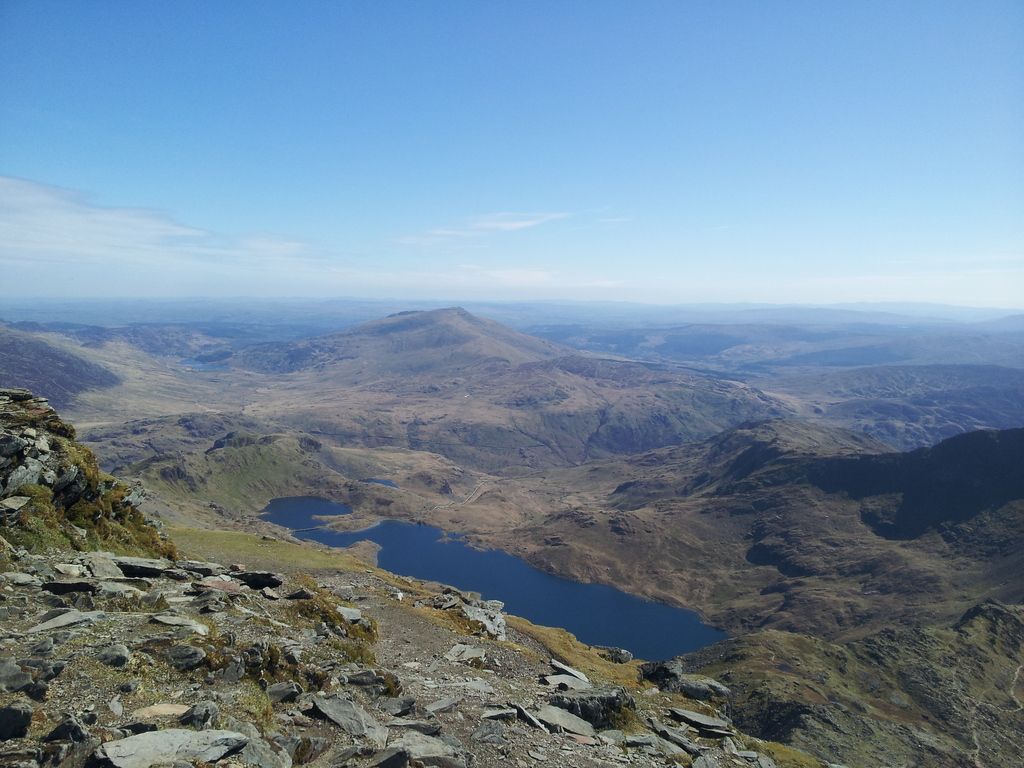
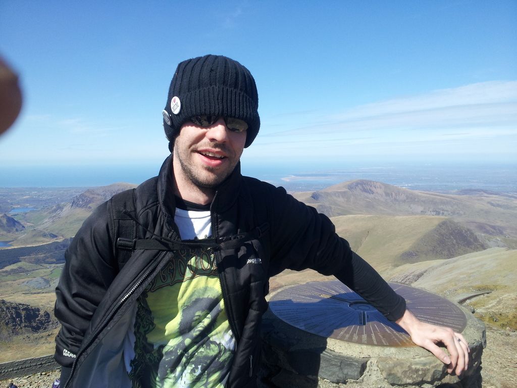
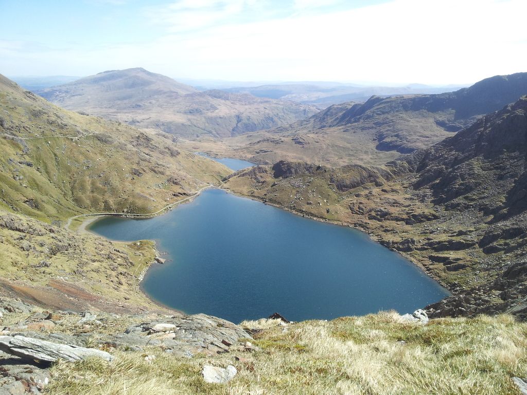
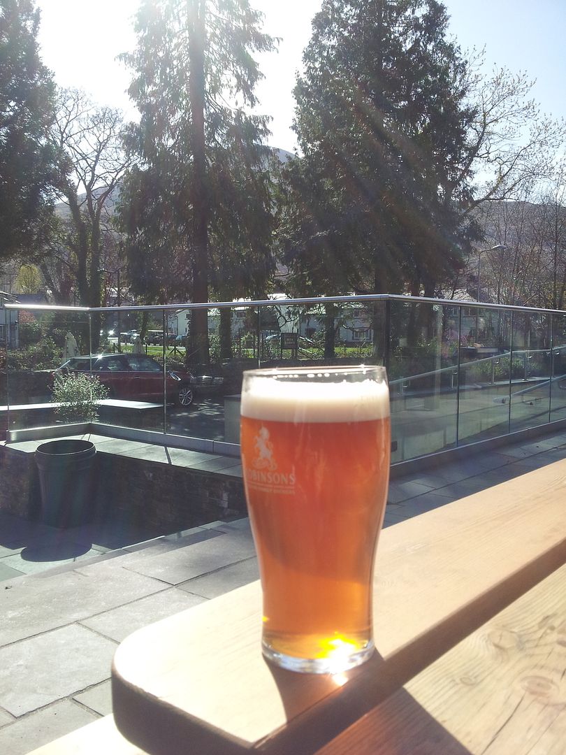
Tom-BFree MemberPosted 9 years agoWell I survived! It only took me an hour and 40 to get to the summit from the youth hostel….so I ended up walking down some of the Pyg path and the scrambling across some rocks so that I could sit by the lake and have my lunch. Sherpa buses aren’t running currently so walk back up to the top of the Pyg path and back down the Ranger…..It was still quite early when I got back so I’ve walked into Beddgelert….currently on my second pint 🙂 I reckon the walk back to the hostel will be a bit of a slog!! Simply amazing day for it though….what a beautiful area!
I’ll sort some photo’s out at some point.
tillydogFree MemberPosted 9 years agoNice one! 🙂
You had an absolutely cracking day for it.
(BTW: Not sure if the Sherpa bus service has been started again after this. )
antigeeFull MemberPosted 9 years agoTom B – Member
Well I survived! It only took me an hour and 40 to get to the summit from the youth hostel….so I ended up walking down some of the Pyg path and the scrambling across some rocks so that I could sit by the lake and have my lunch. Sherpa buses aren’t running currently so walk back up to the top of the Pyg path and back down the Ranger…..It was still quite early when I got back so I’ve walked into Beddgelert….currently on my second pint I reckon the walk back to the hostel will be a bit of a slog!! Simply amazing day for it though….what a beautiful area!I’ll sort some photo’s out at some point.
Snowdon/lunch/lake/beer/amazing day – fantastic
Tom-BFree MemberMarinFree MemberPosted 9 years agoI’ve never heard any”proper climber” scoff at Crib Goch. Its a great day out. If you can all be off the hill by five next Saturday though when were riding down it would be much appreciated.
slowoldmanFull MemberPosted 9 years agoI know a bloke who did the horseshoe with a cyclocross bike!! I don’t think he rode it much.
The topic ‘Walking up Snowdon’ is closed to new replies.
