Home › Forums › Bike Forum › Weekend riding pics…. let's cheer ourselves up on a Monday morning.
- This topic has 63 replies, 42 voices, and was last updated 8 years ago by matt_outandabout.
-
Weekend riding pics…. let's cheer ourselves up on a Monday morning.
-
AlexFull MemberPosted 8 years ago
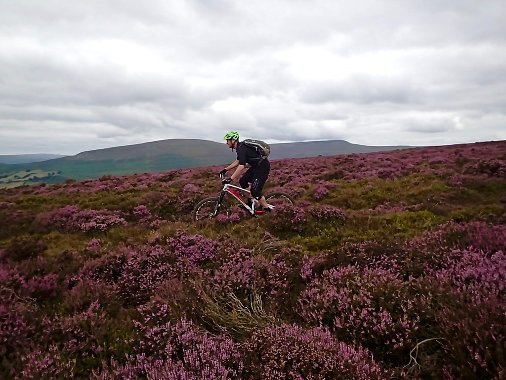
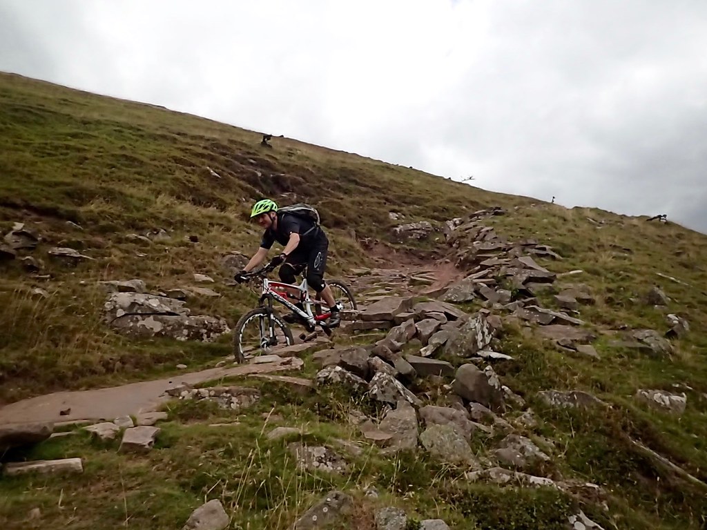
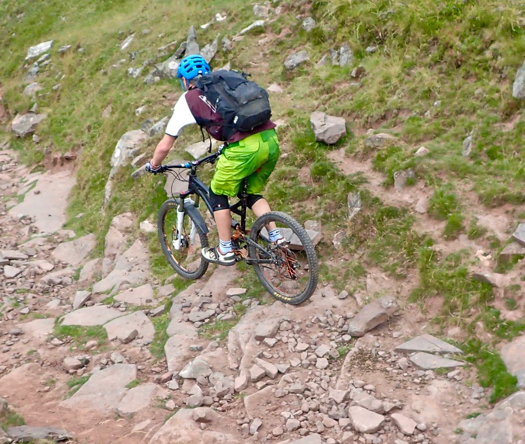
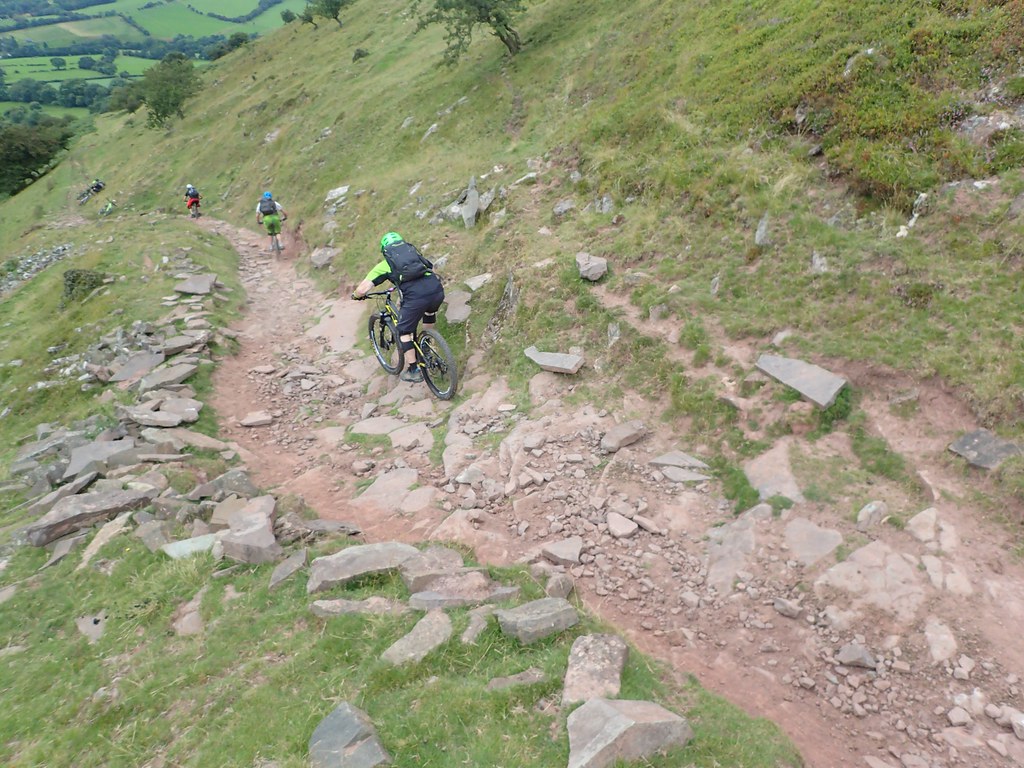
Classic black mountains loop. Dry as I’ve ever ridden it. Rode along the ridge and down rather than the landrover track past the reservoir.
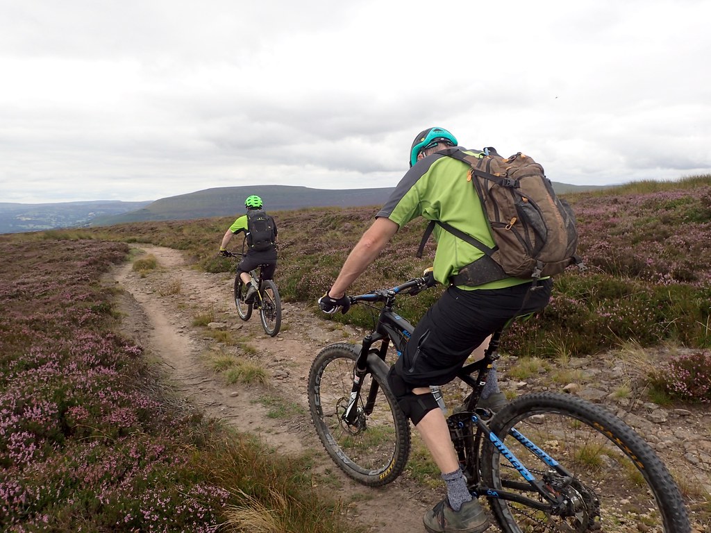 Black Mountains – Aug 2016 – MTB by Alex Leigh[/url], on Flickr
 Black Mountains – Aug 2016 – MTB by Alex Leigh[/url], on Flickr
 Black Mountains – Aug 2016 – MTB by Alex Leigh[/url], on Flickr
 Black Mountains – Aug 2016 – MTB by Alex Leigh[/url], on Flickr
 Black Mountains – Aug 2016 – MTB by Alex Leigh[/url], on Flickr
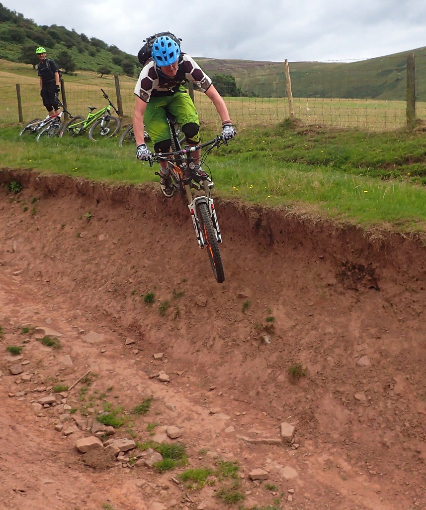 Black Mountains – Aug 2016 – MTB by Alex Leigh[/url], on Flickr
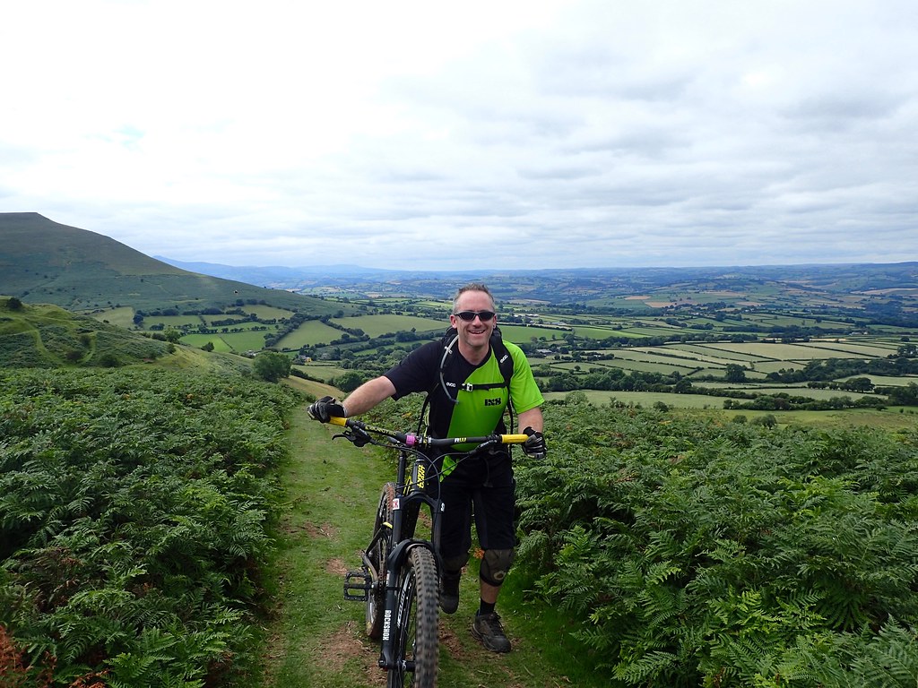 Black Mountains – Aug 2016 – MTB by Alex Leigh[/url], on Flickr
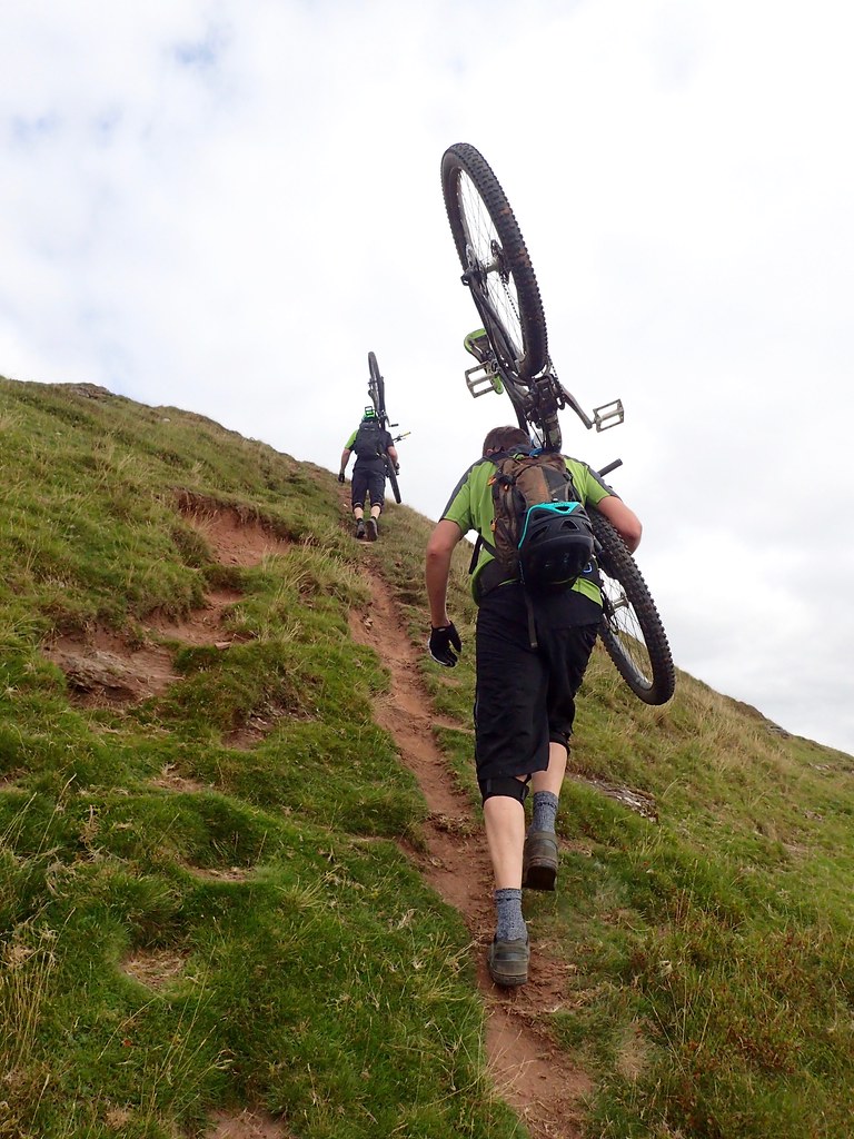 Black Mountains – Aug 2016 – MTB by Alex Leigh[/url], on Flickr
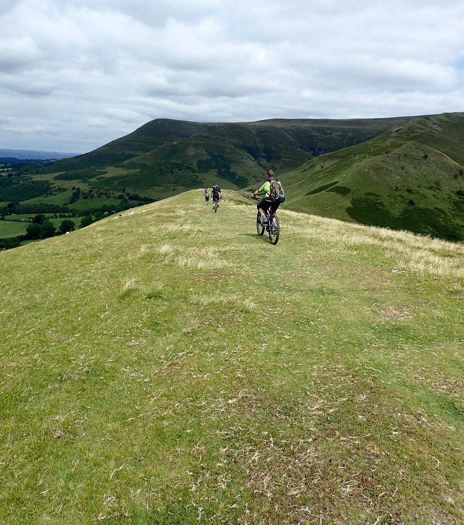 Black Mountains – Aug 2016 – MTB by Alex Leigh[/url], on Flickr
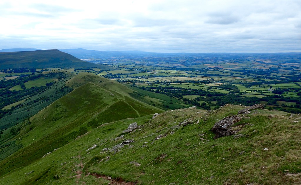 Black Mountains – Aug 2016 – MTB by Alex Leigh[/url], on Flickr
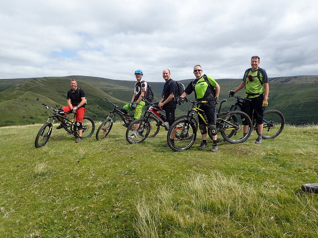 Black Mountains – Aug 2016 – MTB by Alex Leigh[/url], on Flickr
Proper day out. Should be so much easier when it’s dry but it still beasted me!
rocketmanFree MemberPosted 8 years agoLots of riding this weekend it got off to a good start on Friday
 mikewsmithFree MemberPosted 8 years ago
Started with some fixing Saturday morning

Then a mate decided to go over the bars in the wrong place and luckily escaped with very minor damage

Then Saturday was a solo midwinter ride
https://www.strava.com/activities/675185769
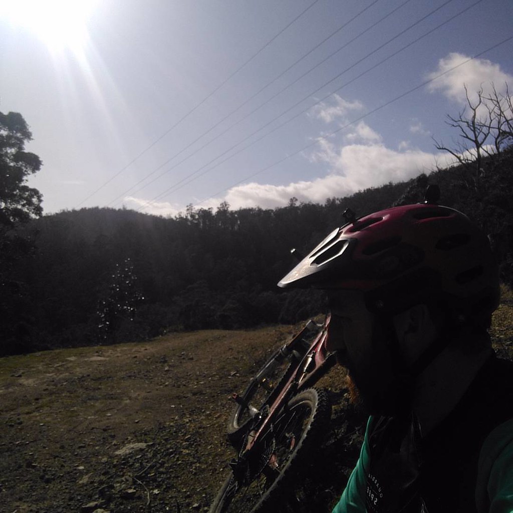 Solo Sunday by Mike Smith[/url], on Flickr
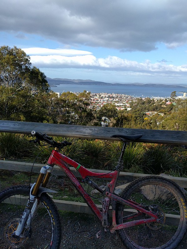 IMG_20160814_143751 by Mike Smith[/url], on Flickr
 Loving the rewards for smashing a good ride 🙂 fancy beans on toast by Mike Smith[/url], on FlickrBillOddieFull MemberPosted 8 years ago
Took my youngest (aged 6) to Sherwood Pines for the first time.
He smashed round the Kitchener Trail at Sherwood Pines with no whinging, one minor crash and only the smallest amount of pushing.Very proud of the little chap!
 nickcFull MemberPosted 8 years ago
Built one and fixed two others at the weekend
Warm fuzzy feeling, but no riding grrr
singlespeedstuFull MemberPosted 8 years agoRode along the ridge and down rather than the landrover track past the reservoir.
Can you point me towards the path please?
Cider Cycle for me.
Great route but rather moist.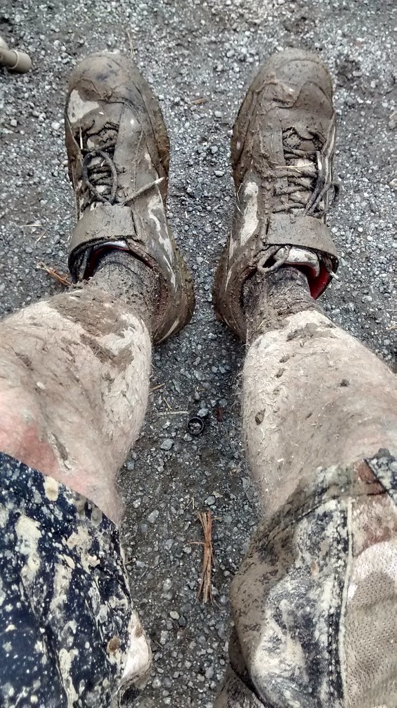 Great British Summer Ride. by multispeedstu[/url], on FlickrmartinhutchFull MemberPosted 8 years ago
Nice long (for me) South Lakes loop on Friday. Too lazy to take pics, so here’s a couple from a Skipton to Kirkby Stephen ride from the previous weekend.

 AlexFull MemberPosted 8 years ago
Blimey where did you find all that mud? It’s dusty-dry here in Malverns/FoD and we only found a couple of patches on that black mountains route. And that’s normally at least a bit underwater!
The easiest way to describe the path is to the trig point after climbing up Y Das to the fence line. Then immediate right onto a reasonably well defined path of rutted peat that slowly descends for a couple of km. It quite hard work tho. Then up the next rise, drop right off the top of there down a very fast grassy path which if you keep heading left towards the trees will end up at a gate. Over that, proper streambed/rocky gulley through the trees out onto fire-road, one turn on there and into 45 seconds of even rockier singletrack that is a starve segment. Ends up at the CP at the bottom of GF descent. A lot shorter but loads of fun.
Warning tho – only if it’s bone dry. That peat-y path is a bog even when the rest of the route is dry. It’ll suck the joy out of you – ask me how I know 😉
GPX if you want it – email in profile.
That toast pic has made me hungry 🙂
singlespeedstuFull MemberPosted 8 years agoCheers Alex just mailed you.
The Crychan Forest never seems to dry out in the bottom of the valleys.
There are however trails everywhere. 😀AlexFull MemberPosted 8 years ago🙂 Never ridden there. I’ll put in on the list. Email received and GPX’s sent back. Have a good one if you get up there next weekend. Never been better in the ten years I’ve been riding that route.
bucksterFree MemberPosted 8 years agoNice pics. Went for a ride locally then heading back caught this amazing sunset one way and then a bit further on, the moon the other

 mark90Free MemberPosted 8 years ago
I rode that ridge for the first time yesterday. It was lovely and dry, I imagine it would be a nightmare when wet. I went further along the ridge to Bal-Mawr. That’s quite a nice run and a bit rockier than the peaty upper section.
fathomerFull MemberPosted 8 years agoGreat pics Alex, I’m hoping to do the standard route from the VPub book on Friday but it looks like the weather will be against me unfortunately. Don’t fancy being on exposed hills I don’t know on my own in bad weather 🙁
Anyway, meet up with another forumite for the first time and did just shy of 30miles around the Dark Peak. Sun didn’t shine till just as I pulled off in the car but had a cracking ride!
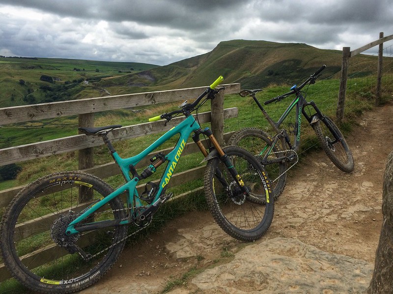 Nomad & Scout by Sam Dexter[/url], on FlickrnedrapierFull MemberPosted 8 years ago
Nice pics, all! Black mountains look ace. And bucksters sunset!
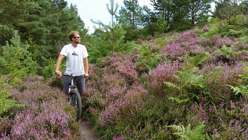
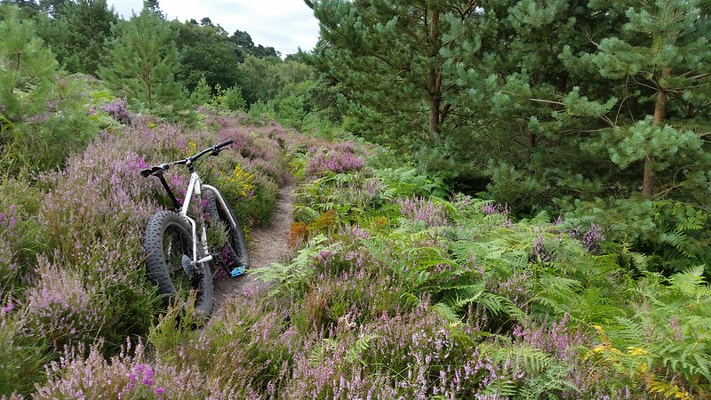
Pre-wedding bimble through the heather on Saturday morning. My first ride after doing my shoulder in – not counting the one a couple of weeks ago when I had to turn back – too soon!
 AlexFull MemberPosted 8 years ago
Moody skies… yeah looks like the weather is going to break. Shame as we’re at Antur on Sat and Lakes on Sun for my birthday. And doing the cotic demo on Friday in the FoD. Ah well it’ll be warm rain
I went further along the ridge to Bal-Mawr.
– we were going to do that but I was really struggling and wanted to go to the pub 🙂
iaincFull MemberPosted 8 years agosoggy spin round Ardgarten Peninsula 🙂
Nice to get the CDF onto some rougher stuff for a change though !
 roverpigFull MemberPosted 8 years ago
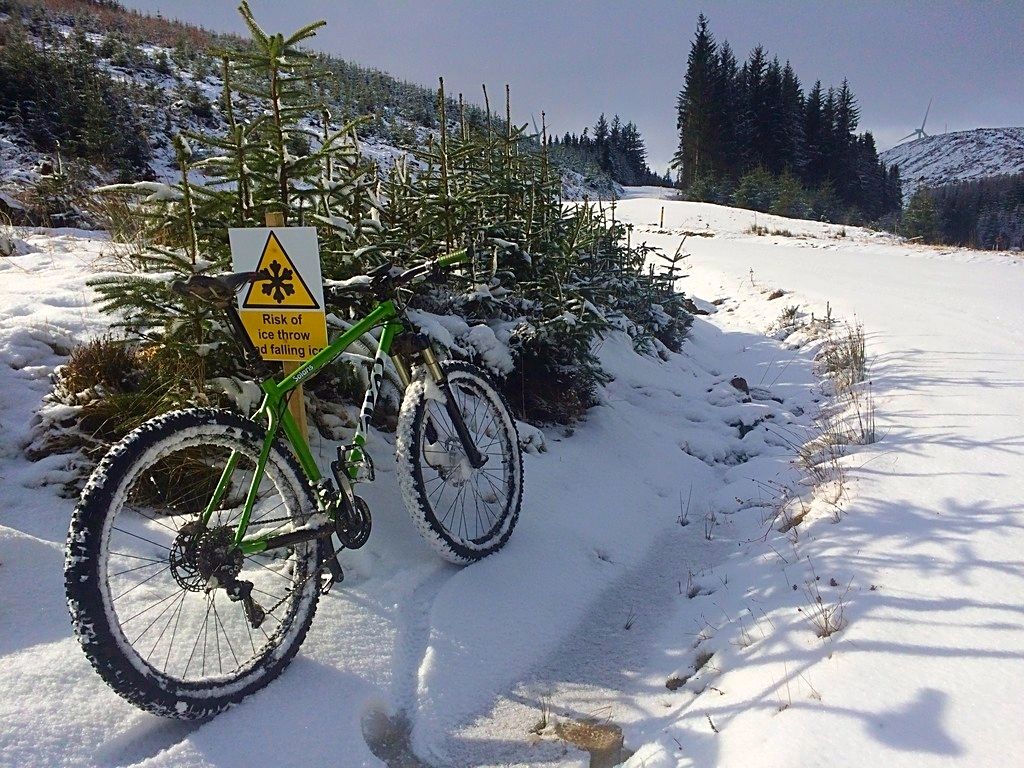
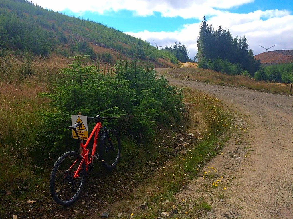
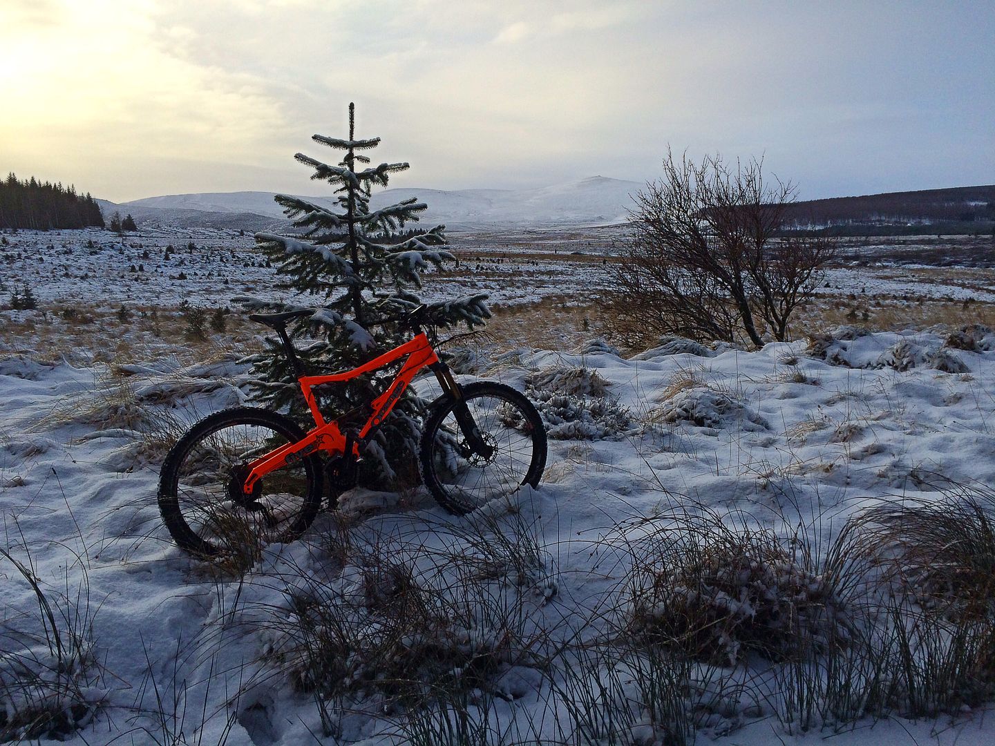
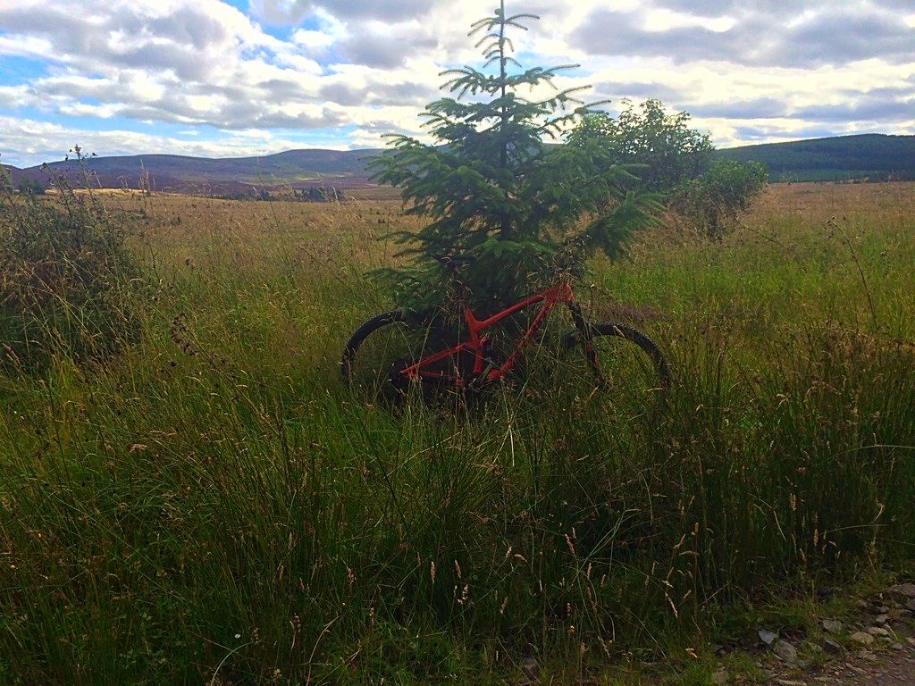
I was feeling guilty about the fact that I’ve not ridden my full suss (Smuggler) since getting the fatbike, so decided to take it out for a bimble along a trail that I’ve only ever ridden in winter before.
I thought, being a full-sus, it would be a lot more comfortable than the fatbike, but in fact it was a lot less comfortable. Still a pleasant ride though and quite a change from winter to summer 🙂
 SimonRFull MemberPosted 8 years ago
Great thread – some nice photos there.
Had a superb BIG day out in the Peak on Saturday – perfect weather for it 🙂
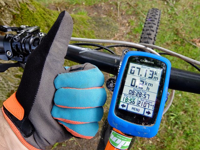 BIG day out in The Peak by Simon Read[/url], on Flickr
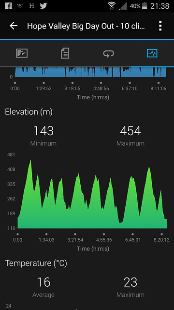 BIG day out in The Peak by Simon Read[/url], on FlickrAlexFull MemberPosted 8 years ago
Lovin’ the chubb 🙂
That is a big day out. 2000m+ climbing in the peaks? I doff my virtual hat to you sir!
I look at these pics and think we just have the best hobby! Especially in summer.
epicsteveFree MemberPosted 8 years ago
Not the most exciting from me but as it was the first proper mountain bike ride I’ve done in about 5 years I quite enjoyed it!jimster01Full MemberPosted 8 years agoNo pics I’m afraid, but did Hopton Woods for the first time since “racing” there back in the 90’s, absolutely loved it.
stewartcFree MemberPosted 8 years agoSlowly getting back up to speed after breaking the collar bone on June 1st and after last weekends 39 degree murder session it was nice to get back to normal temperatures i.e 32 degrees, for a quick 24km leg spin.
 ocriderFull MemberPosted 8 years ago
I only take pics when out on family rides. She’s quite happy with this one 🙂trekleeFree MemberPosted 8 years agoJimster what bike were you on, the car park wasn’t very busy there’s yesterday.
steve_b77Free MemberPosted 8 years agoNot a photo but a short vid shot on my phone of radgnar fat xc shredding
AlexFull MemberPosted 8 years agoI thought the fat bike was going off the big stone 🙂
Horton isn’t far from me, alway drive past it on the way to somewhere else. Really should go ride in those woods rather than just do the Long Mynd.
So many places to ride, I need to retire!
AlexFull MemberPosted 8 years agoOh and (epic)steve – can’t see from the photo but I think my mate sold you a brown Santa Cruz many, many years ago. Is that it? !
steve_b77Free MemberPosted 8 years agoNot a photo but a short vid shot on my phone of radgnar fat xc shredding
Alex – Member
I thought the fat bike was going off the big stoneno chance, I’m not that rad / young / skilled 😆
epicsteveFree MemberPosted 8 years agoOh and (epic)steve – can’t see from the photo but I think my mate sold you a brown Santa Cruz many, many years ago. Is that it?
Never had a Santa Cruz myself – the bike in the photo is my ancient Epic.
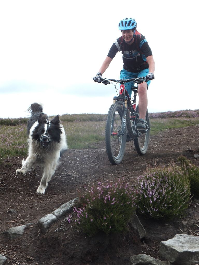
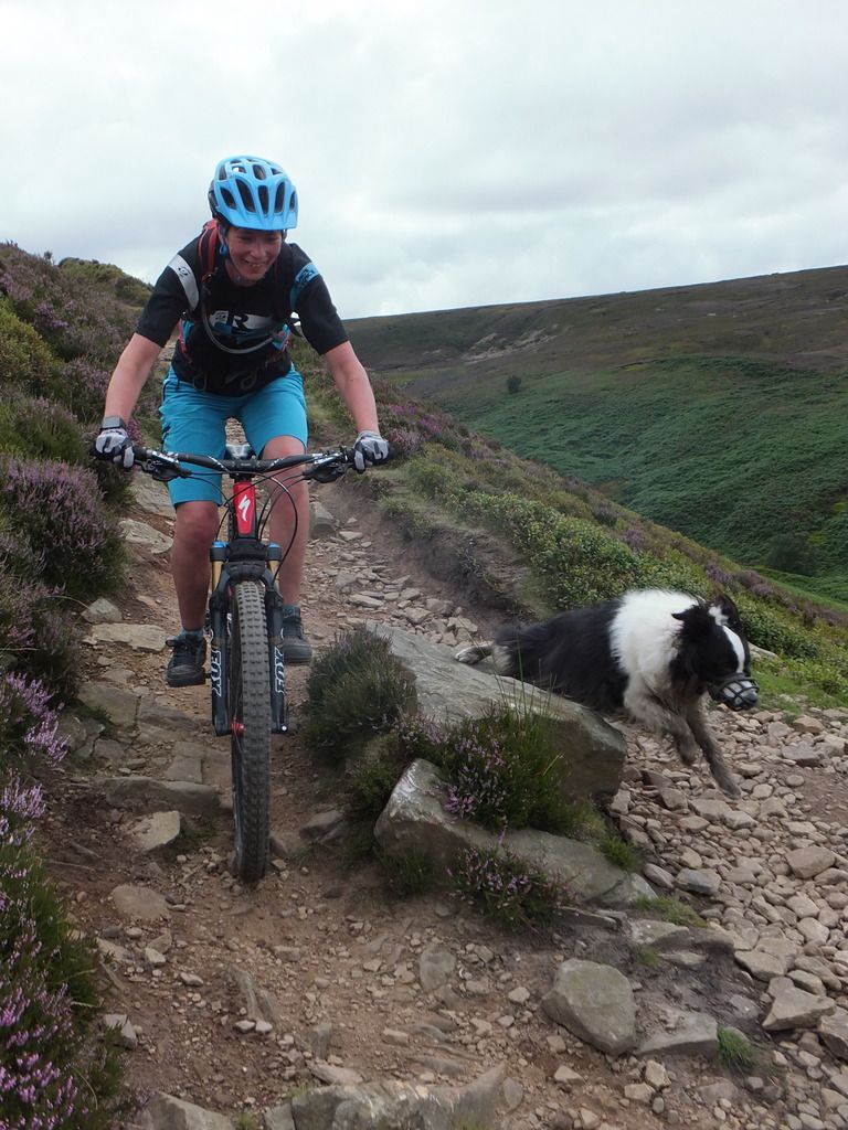
TraceyFull MemberPosted 8 years agoAfter a great time in the Alps our garage was broke into last week with Kevins and Katies bikes been taken so we were and still are on a bit of downer. Went up onto Cutgate yesterday and did some shuffling of bikes so we could celebrate Katies 21st birthday with a ride and a pie afterwards.
Birthday girl on her sisters bike.
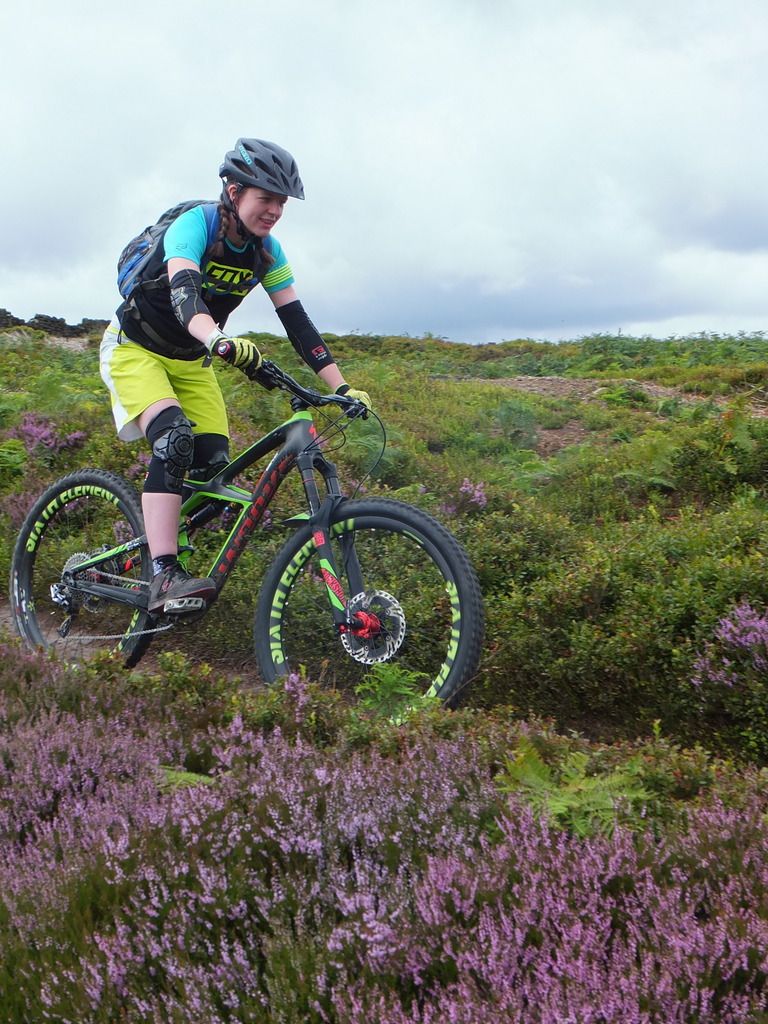
Abigale on a 29r, decisions to be made for next bike, 29r or 650b.
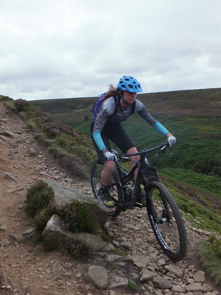
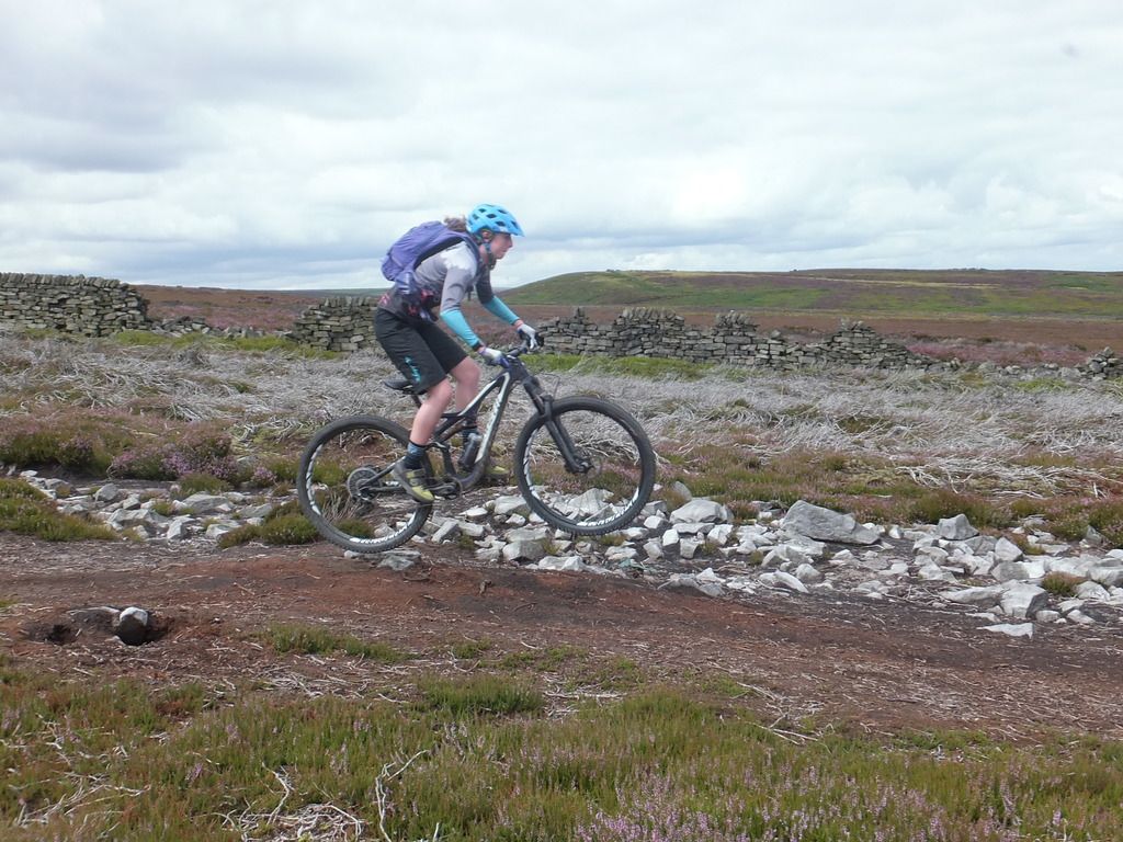
Me and Fin
 fathomerFull MemberPosted 8 years ago
Gutting to hear about the bikes Tracey, to many thieving scrotes about, hope you get it sorted soon. Looks like you managed to celebrate the bday pretty well regardless 😀
TraceyFull MemberPosted 8 years agoThanks, getting out on the bikes managed to take it off my mind for a while
The topic ‘Weekend riding pics…. let's cheer ourselves up on a Monday morning.’ is closed to new replies.

