- This topic has 17 replies, 10 voices, and was last updated 10 years ago by B.A.Nana.
-
Snow conditions in Lakes/N Wales?
-
rascalFree MemberPosted 10 years ago
Monitoring these as planning on almost-last-minute winter skills course.
Plenty up on Helvellyn yesterday apparently but does anyone know what the snow conditions are currently like (and next few weeks)?Cheers
MadPierreFull MemberPosted 10 years agohttp://www.metoffice.gov.uk/public/weather/mountain-forecast/#?tab=mountainHome
Next few weeks? You’re hoping! – next few days forecast might be somewhere near?
globaltiFree MemberPosted 10 years agoWet and heavy I’d expect, with lots of windslab and cornices waiting to avalanche you.
B.A.NanaFree MemberPosted 10 years agoThere’ll be a photo up shortly and every day this week.
Todays forecast
Headline, The Lake District
Snow showers, at times frequent. At times windy
How Windy?
Southwest or westerly, speeds likely to vary through the day, in the range 20 to possibly 35mph.
Effect Of Wind?
Buffeting appreciable on higher areas for periods. Significant wind chill.
How Wet?
Clusters of snow showers
Generally showery, but the snow showers may well merge to give almost constant snow for 2 or 3 hours. Generally rain below 400m.
Cloud on the hills?
Extensive across higher fells
Rare breaks on higher fells, but cloud base typically 600m, lowering to 400m at times.
Chance of cloud free Summits?
10%
Sunshine and air clarity?
A few glimpses of sunshine. Visibility generally good or excellent, but appalling at times in snow and cloud.
How Cold? (at 750m)
-1C.
Freezing level
600m, with frost possible inland in morning. Higher on western coastal mountains.footflapsFull MemberPosted 10 years agoGlenmore Lodge is the place for winter skills courses. Excellent value and the most reliable snow conditions for the UK.
http://www.glenmorelodge.org.uk/mountaineering-courses/cat-18-winter-mountaineering-winter-climbing/
B.A.NanaFree MemberPosted 10 years agoTuesday Forecast
Headline, The Lake District
Windy higher areas; low cloud & intermittent snow, mainly east
How Windy?
East or southeasterly 25 to 35mph.
Effect Of Wind?
Buffeting significant for periods on higher areas.
How Wet?
Areas of snow, mainly east
Patches of snow: may give several hours snow in some areas, particularly Pennines. Western fells may be substantially dry. Mostly rain below about 300m.
Cloud on the hills?
Extensive, particularly Pennines
Cloud will shroud the hills most or all day, most persistent and lowest across the Pennines where base often below 500m. West across the Lakes, the base rising, by midday, most cloud above 600m, with breaks above 700m.
Chance of cloud free Summits?
Almost nil east to 30% western fells
Sunshine and air clarity?
Sunshine unlikely, except for a few glimpses western fells. Visibility often very good west, but appalling where in snow and cloud.
How Cold? (at 750m)
-1C or -2C.
Freezing level
500 to 600m.B.A.NanaFree MemberPosted 10 years agoOutlook Thursday. Lake District
How Windy?
Easterly 30 to 40mph; generally strongest after dawn, but through the day near Cross Fell.
Effect Of Wind?
Buffeting, at times considerable across higher areas, and mainly near Cross Fell, sudden buffeting on lower slopes. Significant wind chill.
How Wet?
Pockets of snow
One or two areas of snow lasting an hour or so, mostly light. Substantially dry western fells. Snow settling down to 250m from east in afternoon.
Cloud on the hills?
Extensive, particularly east
Cloud base will tend to lift during the day, with the highest base toward the west. By midday, on Pennines cloud rare below 500m, and often above 600m. On western fells, cloud only forming on highest summits.
Chance of cloud free Summits?
30%
Sunshine and air clarity?
Patchy sunshine developing west. Visibility very good, but fog widely across higher hills.
How Cold? (at 750m)
0C falling slowly through day from east toward -2C.
Freezing level
750 falling toward 550m Pennines. Local frost in valleys in morning.B.A.NanaFree MemberPosted 10 years agoMonday forecast
Headline, Snowdonia National Park
Frequent showers with snow on tops. Strong winds.
How Windy?
Westerly, 35 to 45mph; gusts to 60mph.
Effect Of Wind?
Considerable buffeting across the hills, particularly near showers. Severe wind chill.
How Wet?
Snow and hail showers; risk lightning
Snow and hail showers, perhaps frequent for periods, particularly western mountains. Rain below 300 or 400m. Small risk thunder.
Cloud on the hills?
Extensive on higher areas; most persistent west
Cloud extensive across higher areas, particularly west, where cloud base 650 to 850m, occasionally lower near showers. Well inland, most cloud above 700m with breaks to higher summits.
Chance of cloud free Summits?
10% west to 30% east
Sunshine and air clarity?
Glimpses of sunshine, mainly east. Visibility generally good to excellent, but appalling at times in snow and cloud.
How Cold? (at 900m)
-2C.
Freezing level
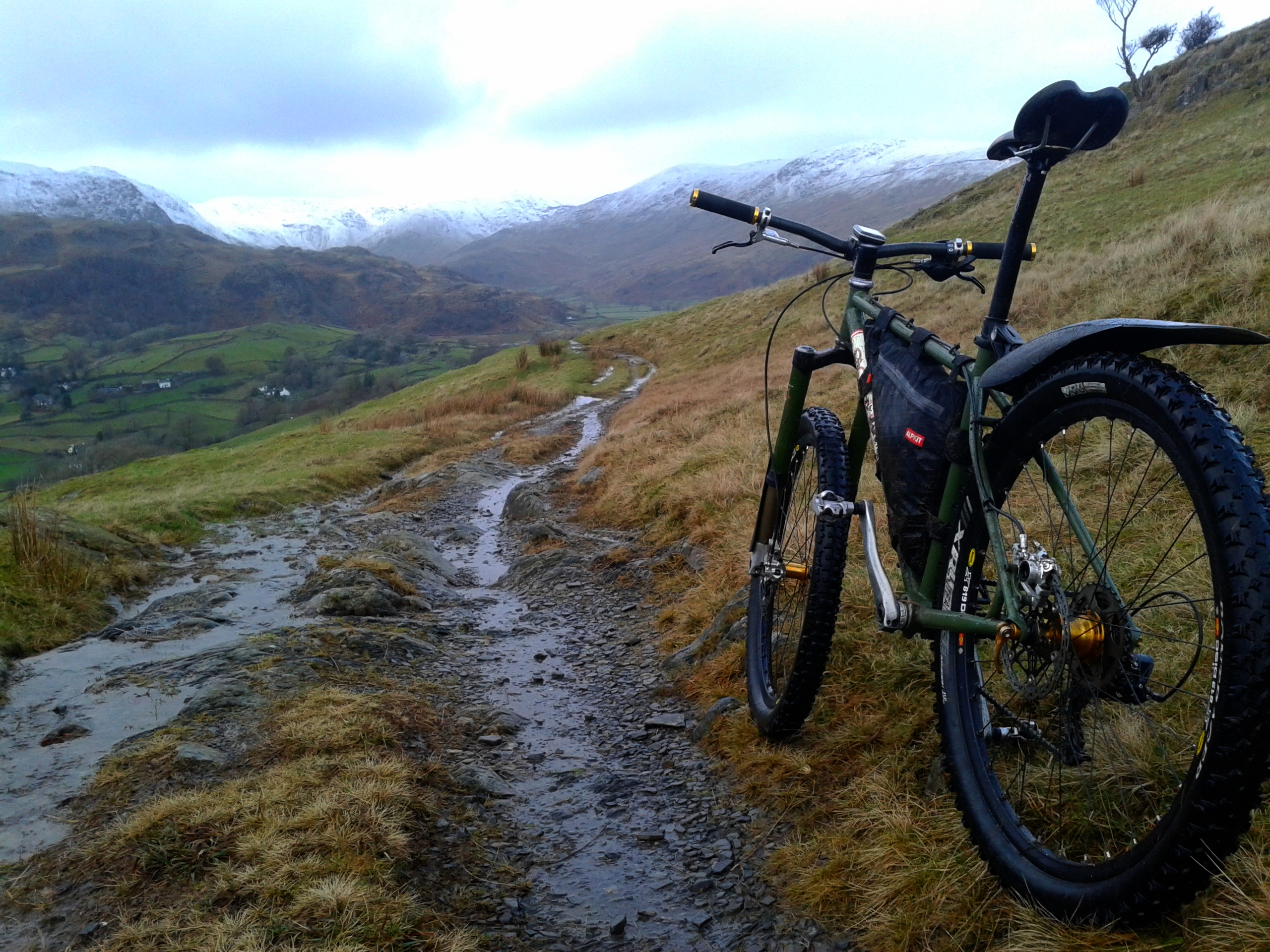
600m, higher on western coastal mountains.postierichFree MemberPosted 10 years agoPic from yesterday Kentmere way

20140126_154057[1] by Richard Munro, on FlickrdavetraveFree MemberPosted 10 years agoYou want this link – MWIS
Which I’m guessing is where Mr Nana is cutting and pasting from. Very good website – mountain forecasts for all major upland areas along with access to webcams to show conditions live on some of the more prominent peaks.
I tend to use that and asking my parents to look at Fairfield/Coniston from the living room window, tends to give pretty accurate results…
B.A.NanaFree MemberPosted 10 years agoOverall mountain outlook appears to be cold, high winds and some snow over next few days, period of settled weather on Thursday, return to high winds, some thawing and crap weather friday.
Still very showery on Tuesday. Briefly on Wednesday colder, drier, easterly winds will extend southwards setting up a hard, overnight frost with light winds and then a fine start to Thursday. Unsettled conditions returning by Friday. Further snowfall for a while above around 600m, but there are indications that thaw conditions will subsequently extend to progressively higher levels in, at times, strong southerly and southwesterly winds.
B.A.NanaFree MemberPosted 10 years agochrisa87 – Member
I’m going up on Friday and checking this dailyhttp://www.lakedistrictweatherline.co.uk/
We’re going up Friday as well
MWIS is also usefulglobaltiFree MemberPosted 10 years agoRight now I’m resisting the urge to spend £25 to enter a Sportcross race from the Green Jersey in Clitheroe out to Gisburn and back, telling myself the weather next Sunday will be carp and it will be a 30 mile mudfest.
Still…. can’t help wondering whether the full rigid Global Ti or the Tricross not-quite-a-crosser would be quicker over 40% off-road and 60% tarmac….
B.A.NanaFree MemberPosted 10 years agoMet Office are forecasting strong to gale force winds in Lakes for Sat and Sun, I think we are blobbing out.
The topic ‘Snow conditions in Lakes/N Wales?’ is closed to new replies.