
MegaSack DRAW - This year's winner is user - rgwb
We will be in touch
Chat Forum
6
Posts
7
Users
0
Reactions
129
Views
*must not spend whole day looking at aerial photos*
Posted : 22/03/2022 9:44 am
Ooh, you can see my house from here.
Posted : 22/03/2022 9:56 am
I was looking earlier - there are some amazing photographs of the area where I grew up but like 50 years before my arrival.
What a brilliant resource!
Posted : 22/03/2022 10:25 am
That’s fantastic! I’ve just found an RAF photo of the area around where I live, I guess around the late 30’s, early’40’s, and compared it with Google Earth of roughly the same area - it shows just how much development has taken place just on the south-west side of Chippenham over the last forty-fifty years.
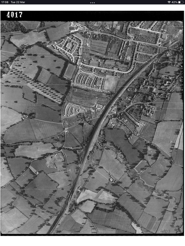
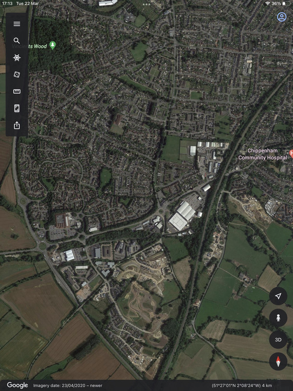
Posted : 22/03/2022 5:19 pm
Wonderful resource.
Sits neatly beside the NLS side-by-side map viewer:
Posted : 22/03/2022 5:43 pm