I would like to get a photo of a nice atmospheric misty sunrise in the countryside around the herts/bucks border.
What weather conditions do I need to look for to help me predict if a morning might be misty / foggy?
And what weather website or app would you recommend I use?
thank you
Fog or mist.
I'm guessing as you asked the question my assumption of them being the same thing is incorrect? 🙁
I would like to photograph fine water droplets in the air, close to the ground. ie I can be at the top of a hill in clear air where as towards the bottom and in the valleys there will be the misty foggy stuff.
What is that called?
The only difference is the visibilty, fog is dense mist or mist is less dense fog
I am guessing here but, high pressure, minimal wind, high humidity are all probably all good indicators. Don't the met office give fog/mist in their weather forecasts?
Don't the met office give fog/mist in their weather forecasts?
Yup.
In the summer you want a humid night just after the rain in autumn winter just cold damp days will increase the chances.
Pretty much any still morning, the mist forms as the humid daytime air cools and condenses, so as long as it doesn't blow away you get mist.
You'll need to be up early, it burns off quickly, this was taken about 5min after 'sunrise', 5 mi later it was clear.
Misty morning on the Berks / Oxfordshire border last weekend.
[url= https://c3.staticflickr.com/9/8280/29615064674_3b072bda42_b.jp g" target="_blank">https://c3.staticflickr.com/9/8280/29615064674_3b072bda42_b.jp g"/> [/img][/url][url= https://flic.kr/p/M7YWXm ]2016-10-10_10-20-51[/url] by [url= https://www.flickr.com/photos/7614571@N05/ ]thisisnotaspoon[/url], on Flickr
O tried to do this once but i fog-got to set my alarm (or it easn't cloud enough) and mist it admittedly it wasn't too cirrus a mist-ake but it was a rubbish stratus to the morning.
Sometimes life can be so haard
A couple more:
This is the same place as the firs, but with a shorter exposure to get a more 'dawn' feel. You have to be clever to get the pic you want rather than what it actually looks like.
[url= https://c7.staticflickr.com/6/5680/29949124750_41b728c13f_b.jp g" target="_blank">https://c7.staticflickr.com/6/5680/29949124750_41b728c13f_b.jp g"/> [/img][/url][url= https://flic.kr/p/MCv6nQ ]2016-10-10_10-21-02[/url] by [url= https://www.flickr.com/photos/7614571@N05/ ]thisisnotaspoon[/url], on Flickr
And about a km later the mist is already burning off
[url= https://c3.staticflickr.com/6/5679/30130515042_11b53ceedf_b.jp g" target="_blank">https://c3.staticflickr.com/6/5679/30130515042_11b53ceedf_b.jp g"/> [/img][/url][url= https://flic.kr/p/MUwLoE ]2016-10-10_10-21-12[/url] by [url= https://www.flickr.com/photos/7614571@N05/ ]thisisnotaspoon[/url], on Flickr
Bivi is the best way to guarentee seeing it! But you still need to set an alarm for 30min before dawn.
Conditions can vary if you are fairly close to the sea too. I bivvied out on the Pentland Hills overlooking Edinburgh and got a few of the sea mist/fog (we call it haar) overnight and at dawn.
[img] 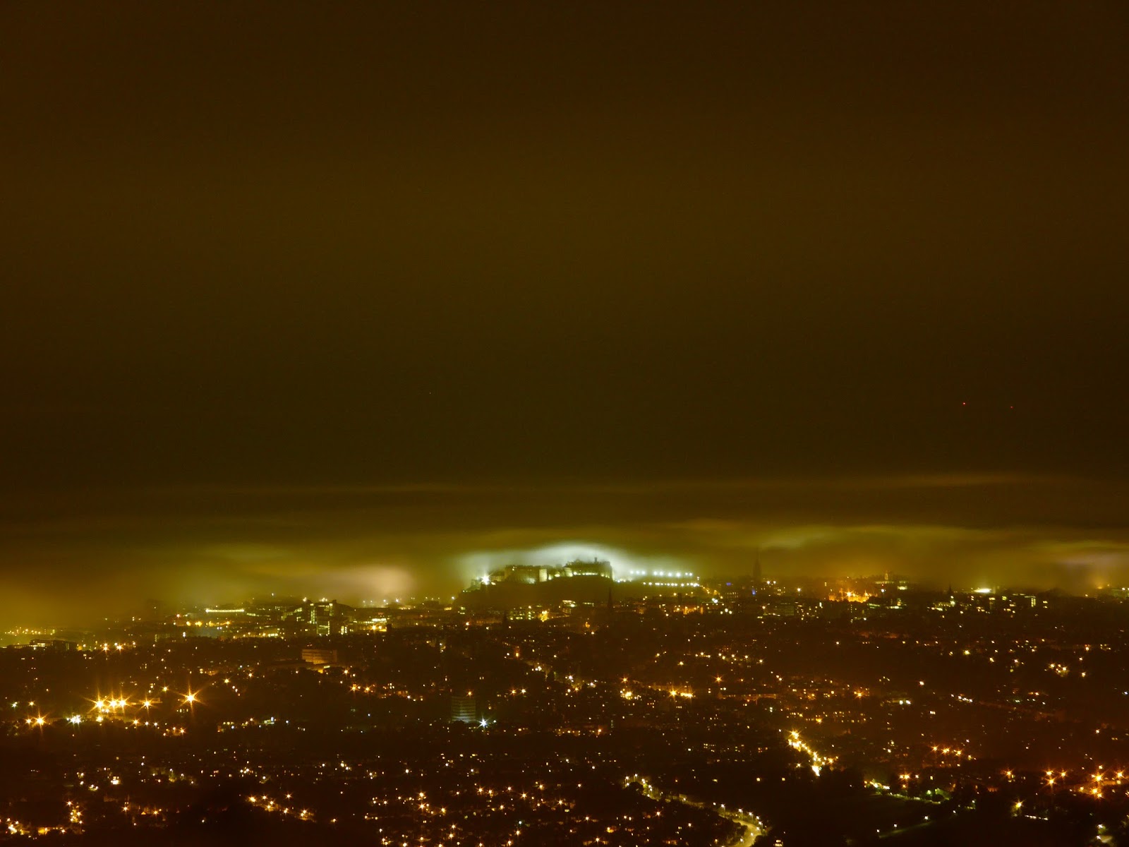 [/img]
[img]  [/img]
As already said, you generally want still, damp conditions.
You might also want to investigate temperature inversion, which causes a similar phenomenon in hilly areas.
lovely thanks all for the info.
Go to the met office and sign up for general aviation services. Pick an alert service for a suitable airfield and you'll get an email the evening before. You'll also get loads of alerts for wind or thunderstorms but not really any more than a couple of emails a day.
Leave your camera at home, that will ensure foggy conditions with impressive sun raise.
From my Met notes the following condition help promote radiation fog:
Clear Skies overnight
High Relative Humidity
Long cooling period - to allow the temperature to fall below the dew point
Light winds - too light = heavy dew
Low lying ground
Dispersed by:
Solar Heating
Strong Winds
Drier Air
Cloud sheet arriving overnight
Warm days, clear cold nights. Much like we are getting at the moment.
A good sign is a day when it's been raining, then the sky clears and the temperature drops over night.
Also, be prepared to be up well before dawn, 5 am for taking photos around 6 am, for example. I've been seeing some lovely misty conditions recently, perfect for photos, but as I'm doing 70mph on the southbound M5, getting them is not really an option.