UPDATE: Reviews section refreshed, redesigned, searchable: Go take a look
Hi, I'm going to the Vosges with the family at the end of August, staying in Bussang.
There seem to be a lot of waymarked routes, but I can't work out the grading system, having read that the blue/red/black is more about physical challenge than the technical nature of the trails.
We're basically xc/trail people, (I'm on an Epic Evo, they're on 120mm hardtails). Favourite riding would be the rocky Grizedale/Elterwater/Claiffe bridleways, Dark Peak district, reds at some uk trail centres (NFT, Gwydyr, Coed y Brenin, Dalby).
I'm trying to avoid ultra-steep mega technical stuff, and also flat fireroads. I've read that the trails all tend to be one or the other, depending on whether they're hillside (former) or valley bottom (latter) with very little in between.
Have looked at the lift-assisted stuff, but that seems to be either bikepark, with mandatory full-face helmets, or fireroads all the way down..
We just want to climb for a bit, ride some nice fun singletrack, repeat for 3-4 hours. Is that unrealistic in the Vosges?
I'd be really grateful for any advice.
Thanks.
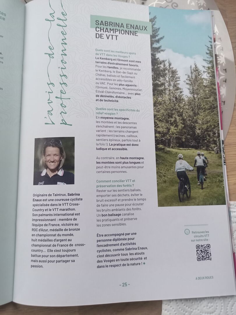
We had a couple of nights in the Vosges a few weeks ago, further north near St Die. The local tourist brochure had a few articles on a retired French xc racer who was doing MTB guiding (I took a photo of the article for future reference). She might be able to help? Also noted down the mobile and Gmail if you want them pm'ing.
We just want to climb for a bit, ride some nice fun singletrack, repeat for 3-4 hours. Is that unrealistic in the Vosges?
No - the Vosges is full of that type of riding and there is a lot of info online eg
Vélo & VTT Vosges : randonnée et parcours VTT Vosges.
I have those routes as a wee book - bought locally I presume but these days look at your favourite online mapping portal - eg Komoot or
for example
You can buy Wikiloc cheaply for a month - it used to give the IGN mapping - not sure now but other apps do give it for free/lo cost.
You can also ride any path and they are well waymarked - we had Club Vosgien maps showing the main waymarked routes on IGN mapping
I would say on VTT routes that the French like to climb technical singletrack and descend on fireroad and it can be tricky to work that out - we did some routes in reverse.
For French online mapping look here Cartes IGN classiques - Géoportail
You can buy Wikiloc cheaply for a month - it used to give the IGN mapping - not sure now but other apps do give it for free/lo cost.
The IGN mobile app itself is great, it's basically the French equivalent of the OS Maps app. Pretty sure it's free, we were in France last month and I don't remember paying for it
This might help
https://veloclubfaumont.fr/index.php/2020/06/10/bases-et-circuits-vtt-dans-le-grand-est/
lots of PDFs to download
You could install the Mapy.cz app, set up a free account and then download the France topo maps to view the routes and help you plan more.
Around La Bresse, Bussang area there are load of easy XC trails which double-up a cross country ski runs in winter.
The IGN app used to be free for 1 (maybe 2) weeks
not sure if that is still true
