Fancying a dodge round the borders next week for a few days, but I'm a bit stuck on the map aspect.
What maps does everyone else use?
Is the Landranger series the best?
I don't use the 1:50k for roads (I'm assuming you mean on road touring?). Usually 1:200k is enough detail for road touring without needing to turn the map every 5 mins. In some countries, there are so few roads, 1:400k is good enough.
Sorry, meant to say. It'll be mostly roads/sustrans stuff.
Where's best for buying maps of this scale? Stanfords? I usually just go Waterstones and buy OS maps from there.
EDIT - Something like this? - http://www.stanfords.co.uk/Home/Product-Detail/Scottish-Borders-Tourist-Map_9781860972867.htm
Buy a good road atlas and photocopy the pages you need. That's what i do.
For on-road touring, I think the OS 1:250,000 maps are good. The OS discontinued these a few years ago, but they are now being printed by Nicolson Maps instead. http://www.nicolsonmaps.com/acatalog/nicolson-tourist-maps.html
Buy a [s]good[/s] cheap road atlas and [s]photocopy[/s] rip out the pages you need. That's what i do. 😉
Sorry, meant to say. It'll be mostly roads/sustrans stuff.
We're in the middle of producing a [url= http://www.fourpointmapping.co.uk/shop/shop/maps/ ]series of cycling maps[/url] ideal for touring at 1:110,000, but we're working our way northwards and have only got as far as The Fens, with the Midlands lined-up for production next.
It'll be a while till we get to the Borders. Sorry! 🙂
So TM, you're recommending a map the OP can't buy yet? Shameless plug perchance?
Not really. My initial post neatly negates my second and provides the OP with a good solution to his problem.
I only mention our maps in passing as they are/will be the best cycle touring maps you can get, and suit his requirements perfectly 🙂
If you are thinking of buying OS or other UK maps, Dash4it has 30% off RRP and an additional 10% off with code DASH13, and their delivery (free) usually arrives within 2-3 days.
snapshot google maps(or bing maps if you want OS maps), print, stick in bottom of bag, then use a phone with GPS.
Friend of mine gave me these yesterday, bit far south for you but the northern ones must still be around somewhere.
[IMG] 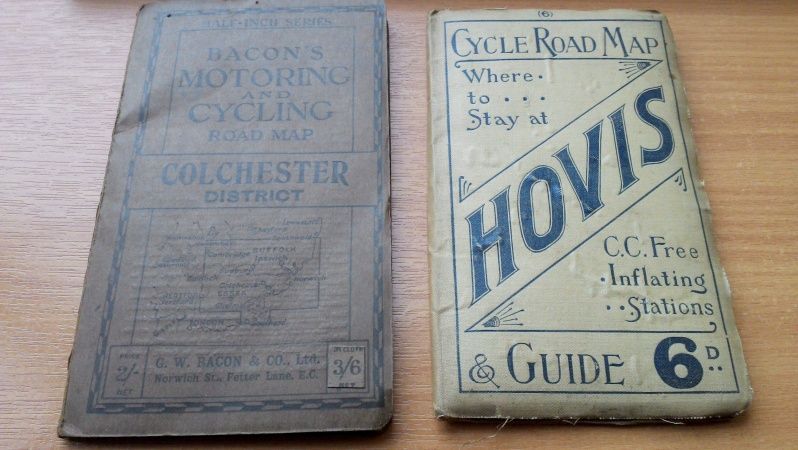 [/IMG]
Cheap AA road atlas, from a discount book shop, and rip the pages out.
The AA maps are identical to the old OS Routemaster map (1:250,000), with the exception of height shading.