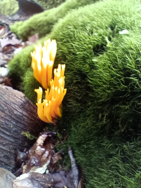
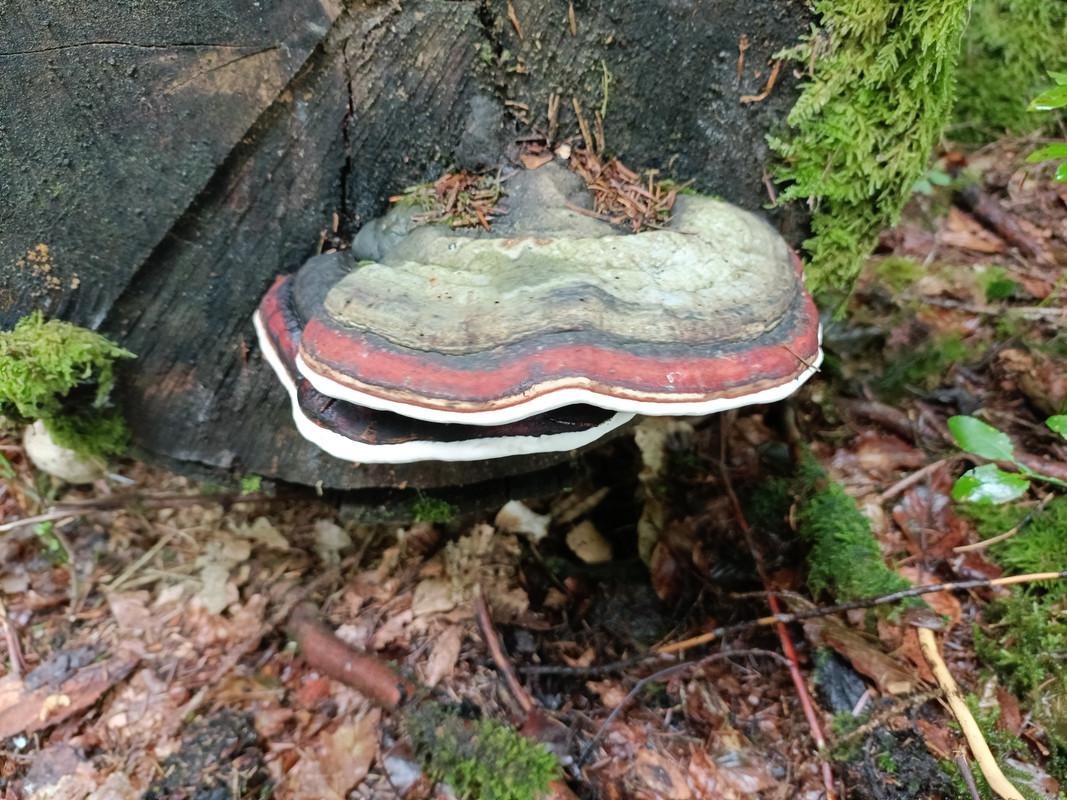
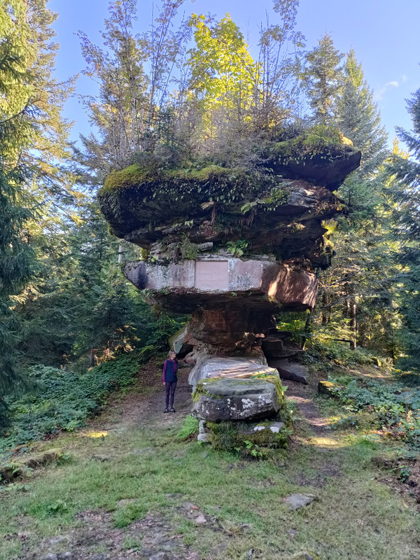
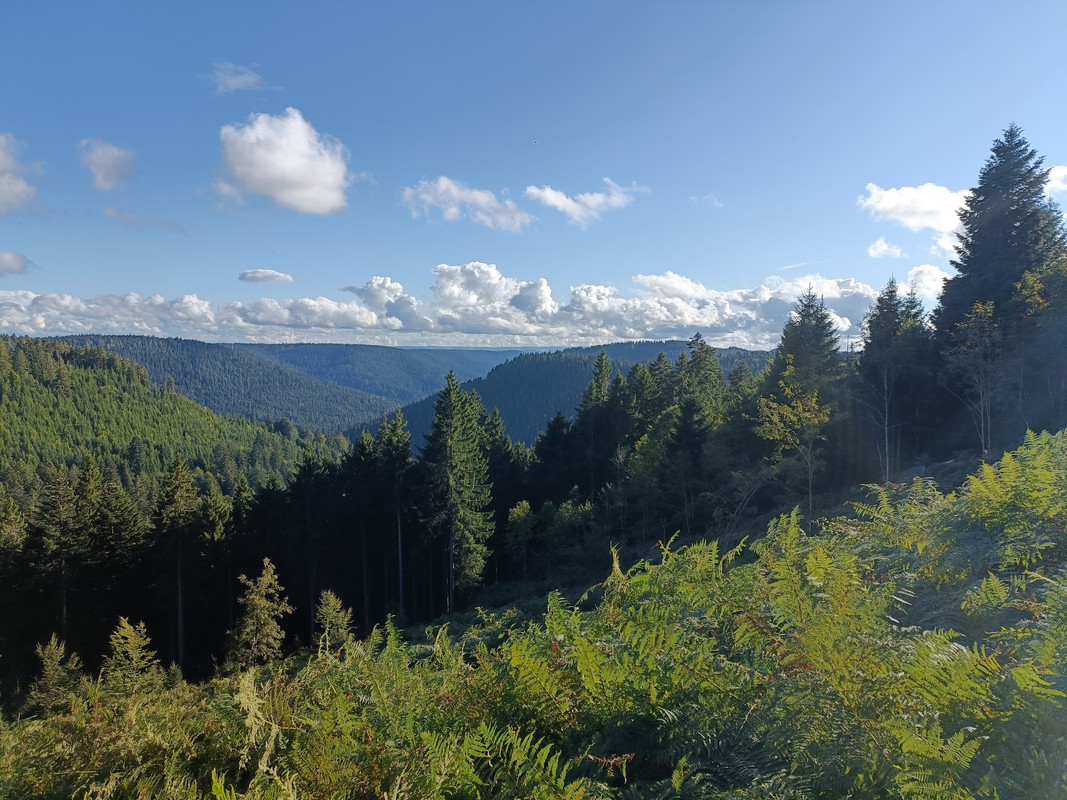
Black Forest walk
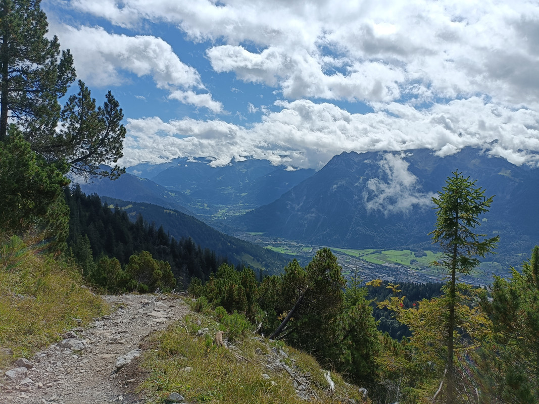
Hoher Fraßen, Vorarlberg, Austria on Sunday


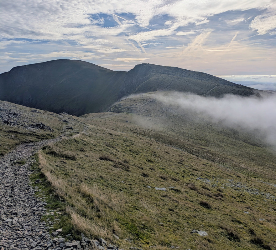
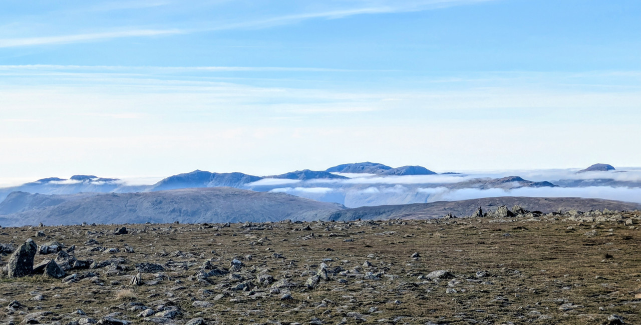
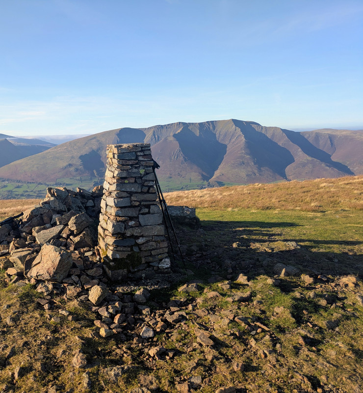
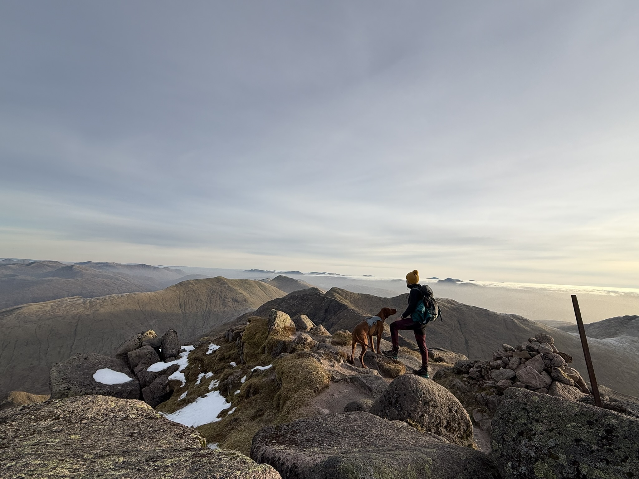
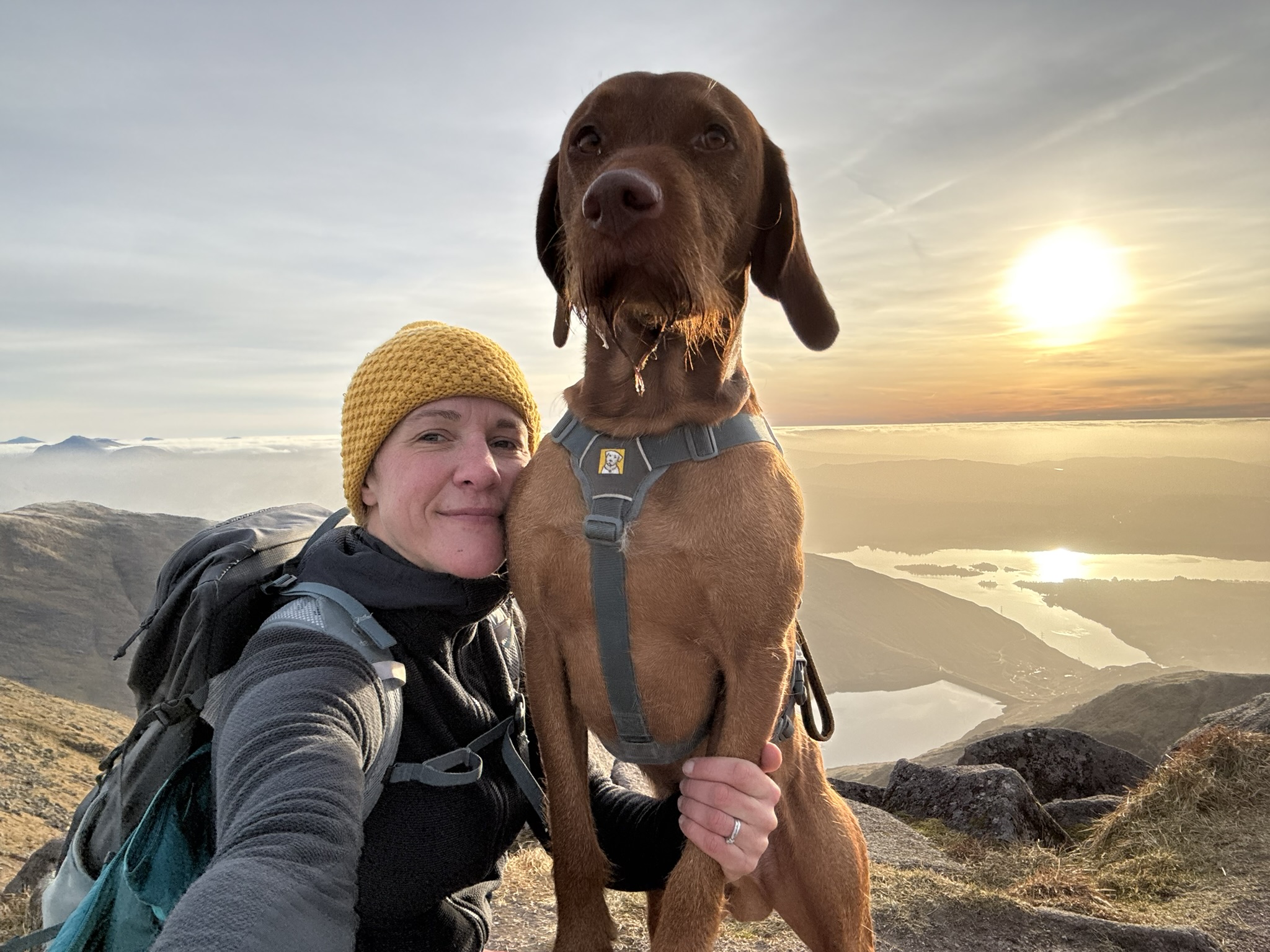
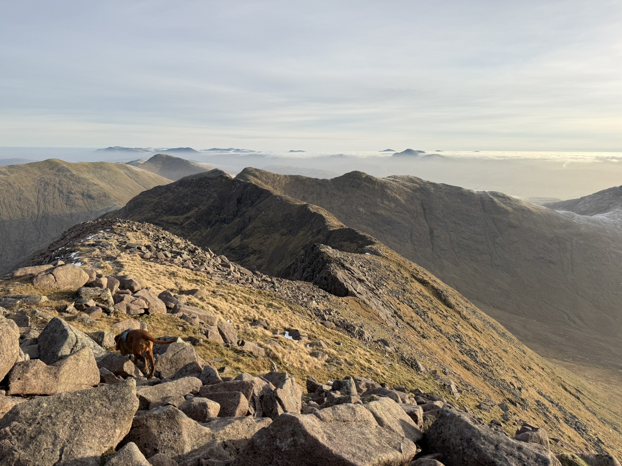
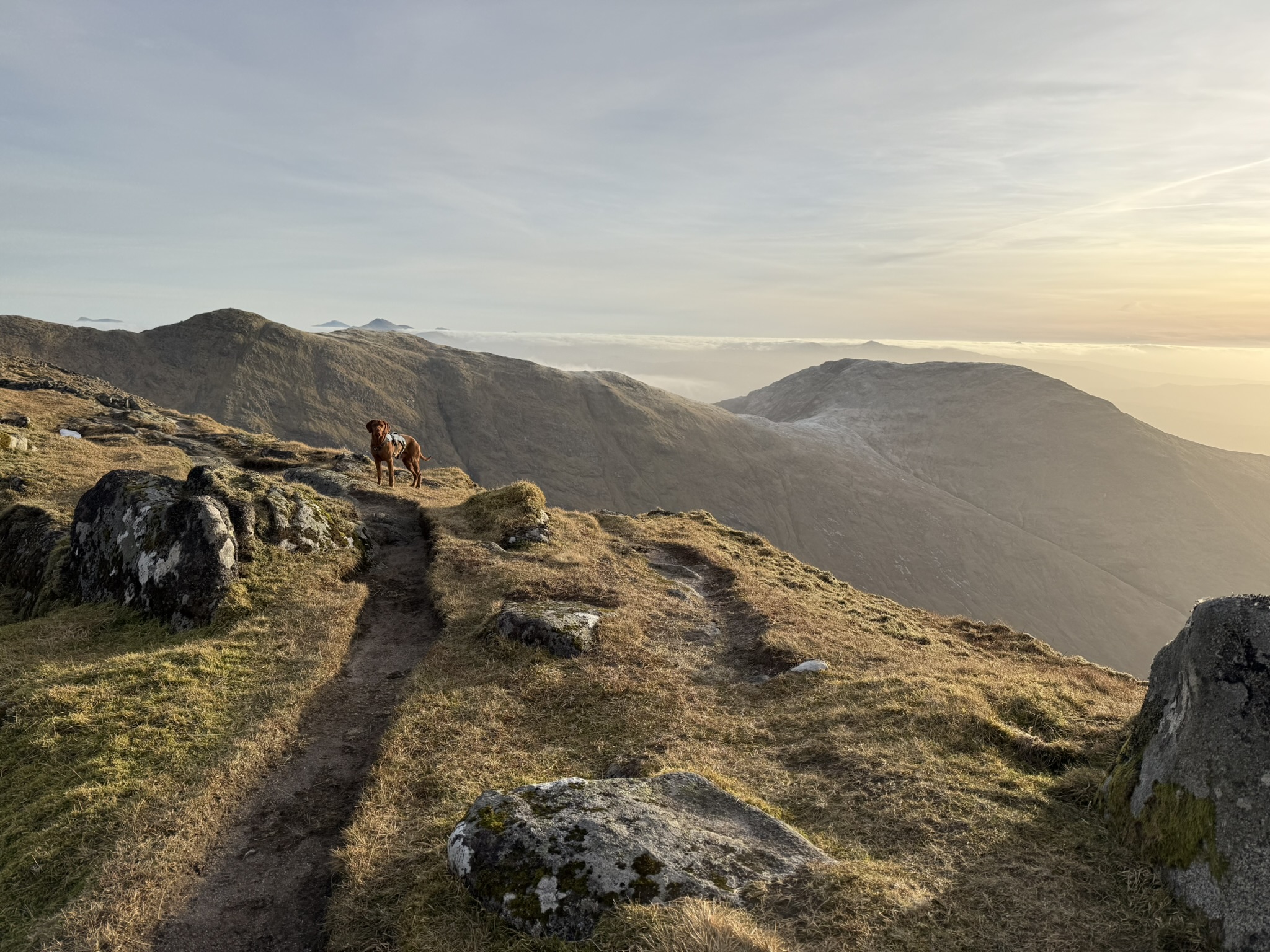
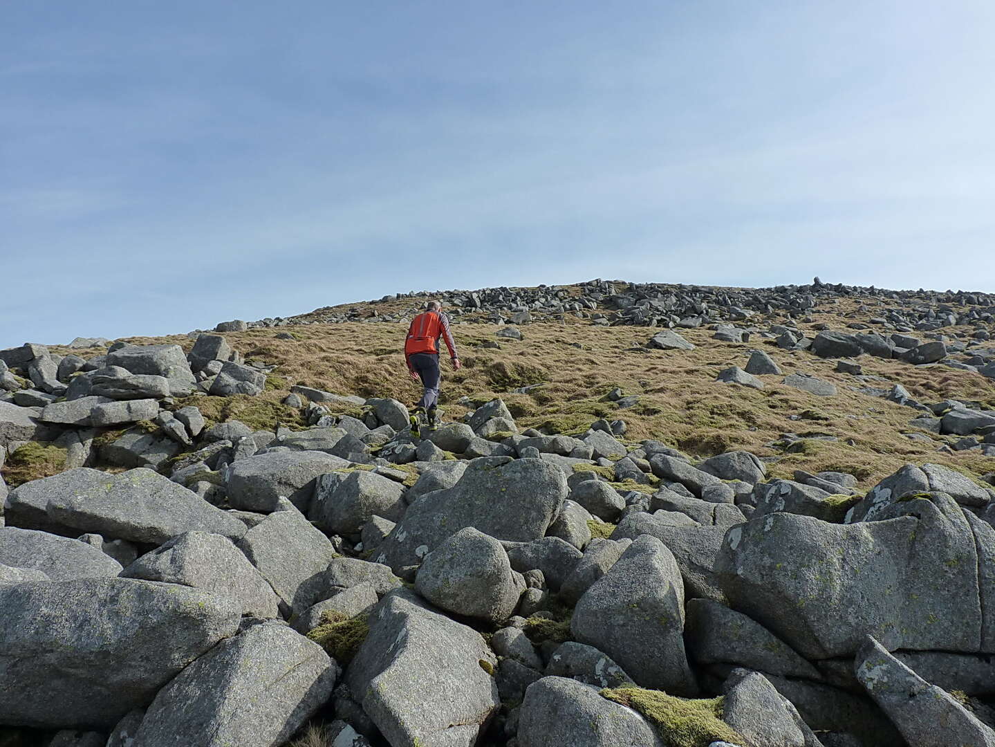
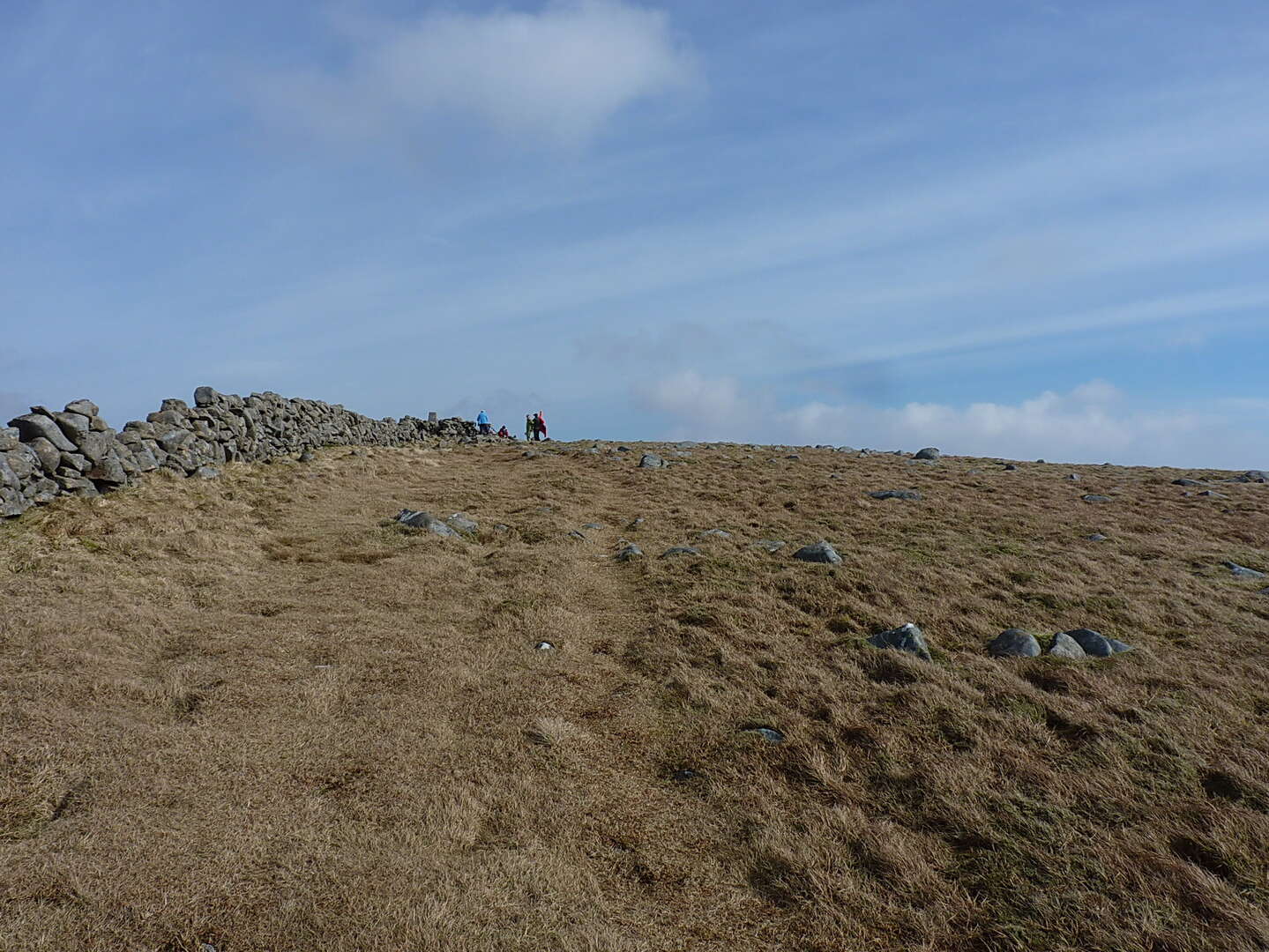
Stunning day up on the Helvellyn range on Saturday. 9 Wainwrights from Dollywagon Pike up to Clough Head completed. Could have done with shorts, t shirt and suncream rather than fleece lined base layer.
Low lying cloud to the west for most of the day with only the biggest peaks poking their summits above.
Didn't plan it but it was also lakes in a day fell run going in the opposite direction to us. Those people are a different breed of human. I was knackered after 1200m ascent, they were doing 4000m!
Does anyone know where this picture (in the latest Alpkit email ‘Find Faraway Nearby’ Outpost Mountain Journal sent on 24.02.26) is from. It’s intriguing me and I am hoping it is somewhere in the UK.
Cheers

Ok, after much thinking and map browsing I think it's Arran. Looking south from Caisteal Abhail past Cir Mhor to A'Chir. Fairly certain of this!
They managed to chop out the most recognisable part!
Bloody hell! Well done Spin. As a contributor to Geograph, I should have spent some time looking there too 🫡
I actually thought Arran early on but went down a Welsh dead end. I do enjoy working these things out.
Great detective work there Spin.
- I'll use this op
 portunity to see if I can attach photos


Slovenia?
Ooops, double post.
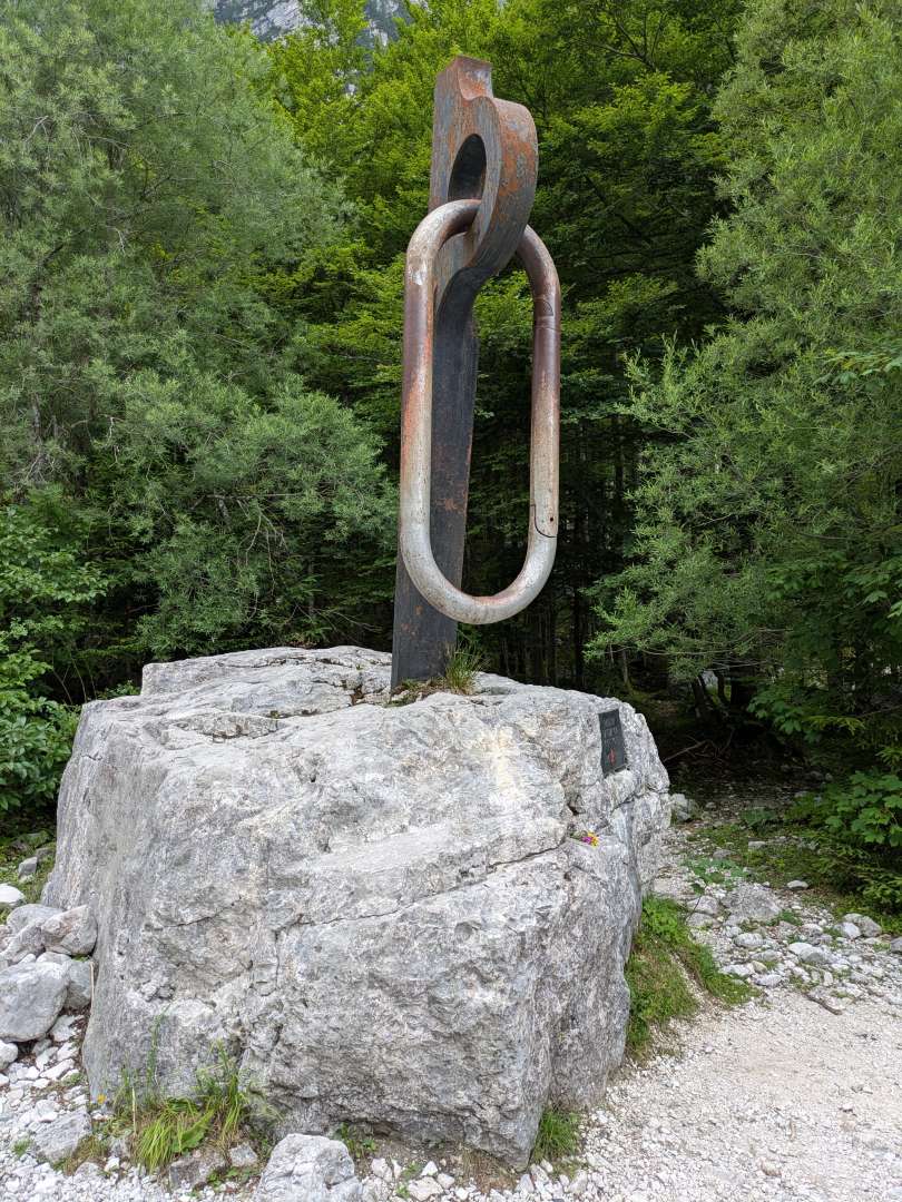
We were in the Slovenian Alps last July and I'd always wanted to go up the national mountain Triglav via one of the via ferrata routes from the north, choosing the Bamberg route which is the trickiest option. There is several hours of grade 3 scrambling and a fair amount of cables and spikes in places. At 1860m of ascent it's not ridiculous to do in a day but my body was definitely not used to going full bore for 11 hours, I couldn't stomach food and I think the air density at 2864m made me light headed, forcing me to place me feet with excessive care most of the so called easier route down. Talking of the descent (Prague VF route) it was much harder than I expected. The national mountain is climbed on this route by the sort of unlikely folk you see going up Ben Lomond, except here they're doing continuous technical and exposed terrain even if they do spend the night in a hut at around 2500m.
Unfortunately the summit was in cloud by 11.00 so I missed the view. Pictures to follow.
When I went up Triglav there was a guy on the top selling soft drinks. Looked like he'd just carted a couple of slabs up!

Triglav summit from back when I was proper fit. Up and down from the campsite in Trenta in under 6hrs.
The way up


Nice.
Coincidentally, a shot from a similar point to the mystery one appeared on a UKC article about the new Corbetts guide.
Triglav tourist route from the north has this wee feature, doesn't put off the very unfit looking chainsmokers, but then folk from this part of the world are pretty hardcore 
Great photos, I'm very jealous !
We were in Slovenia in late Sept 2014 and spent 3-4 days playing on the Kara****en waiting for the snow on Triglav to bugger off before trying the route you described. Alas it just got worst so we moved over to the Karwendel Mtns to do the Mittenwalder Höhenweg.
Has anyone done the Zugspitze via VF Brett ?
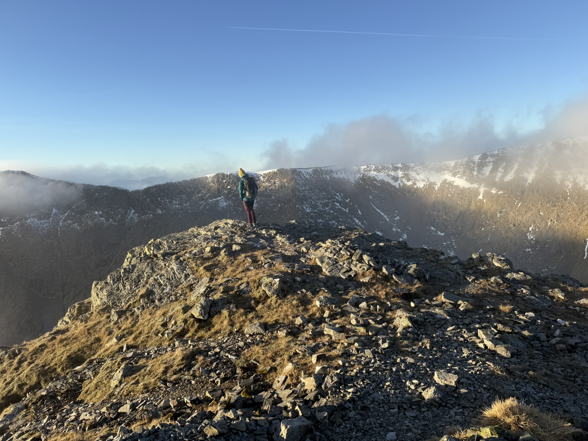
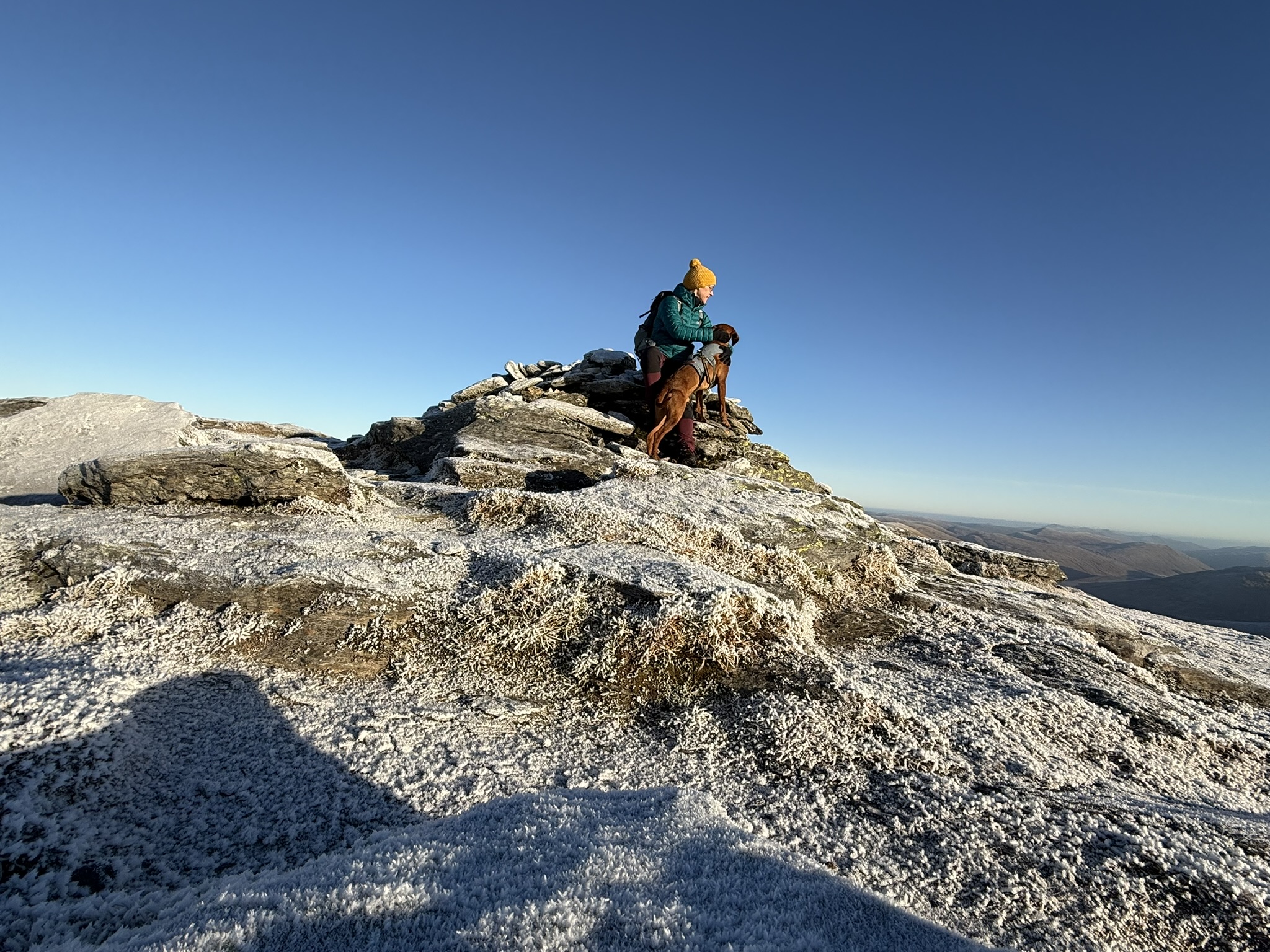
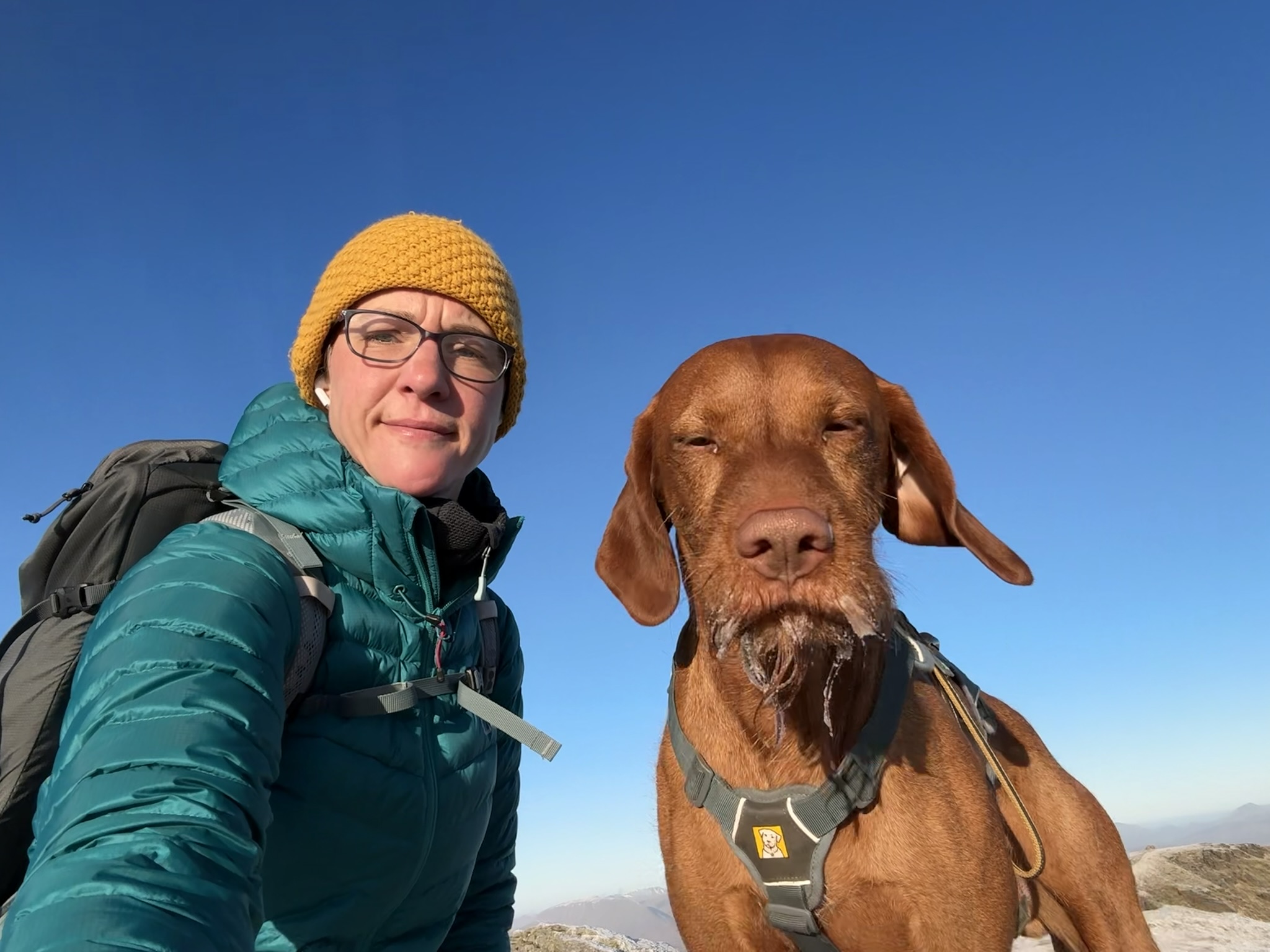
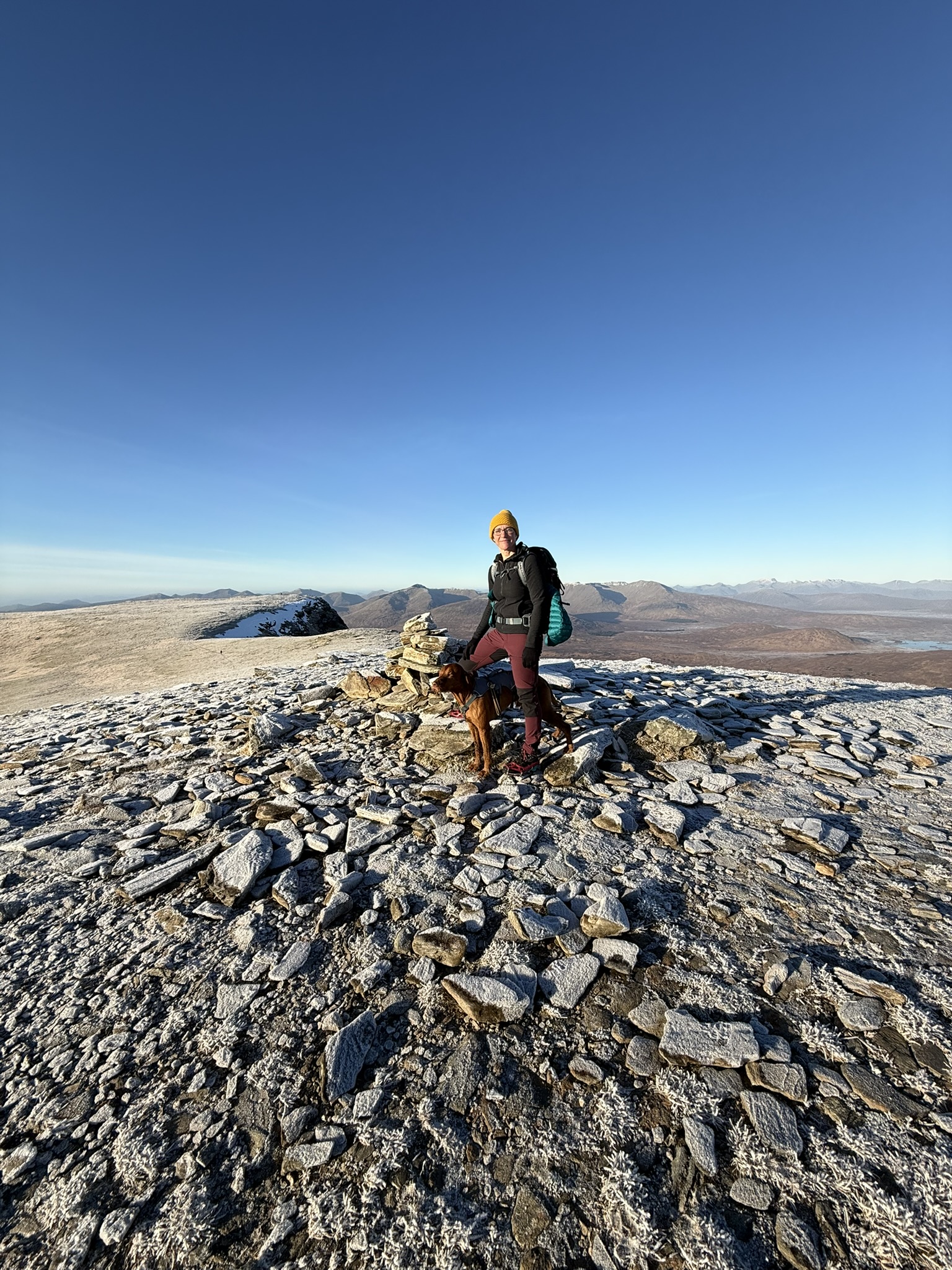
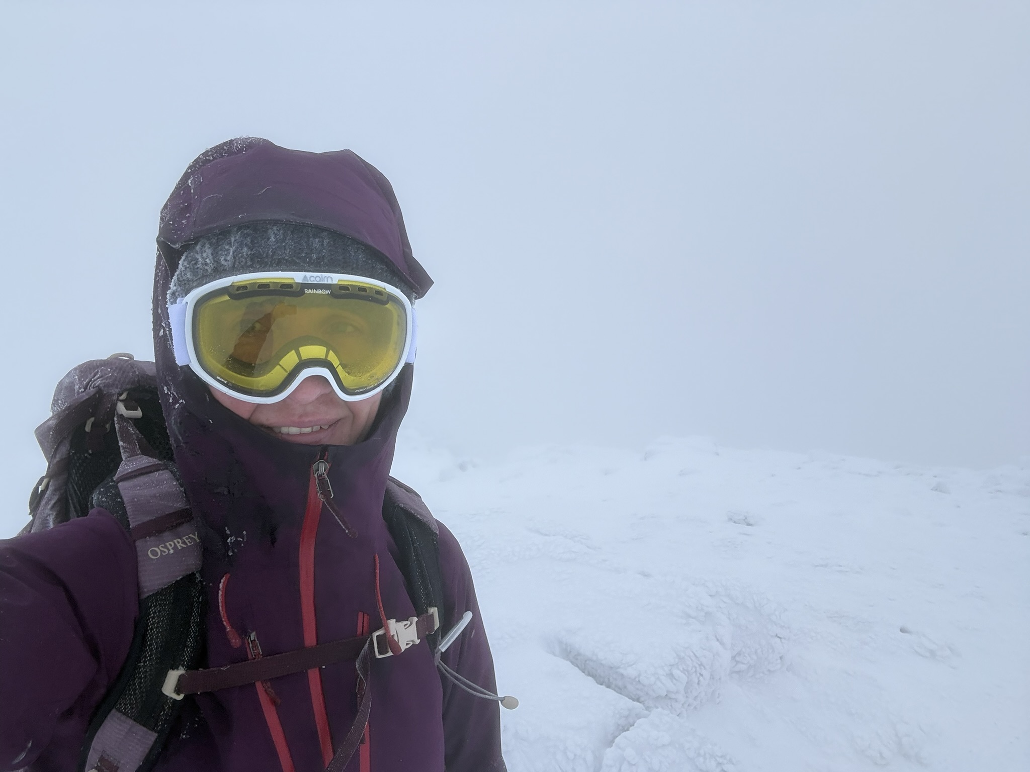
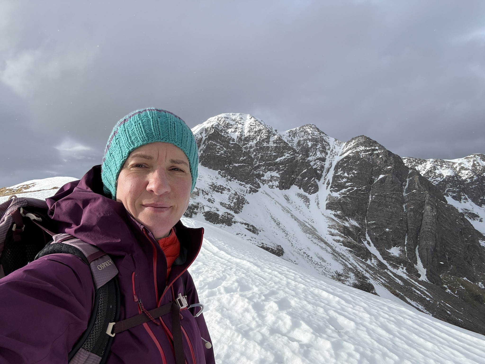
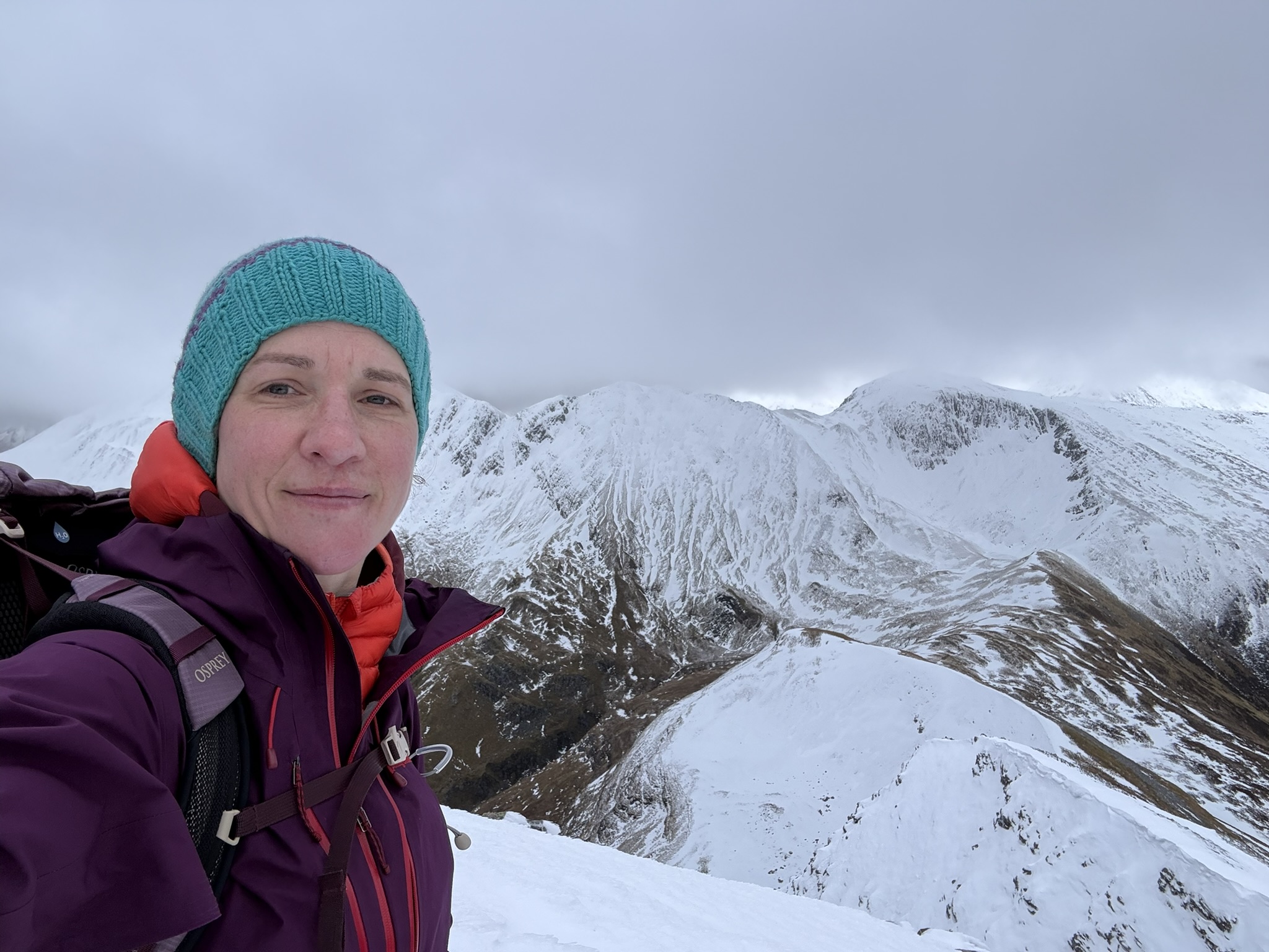
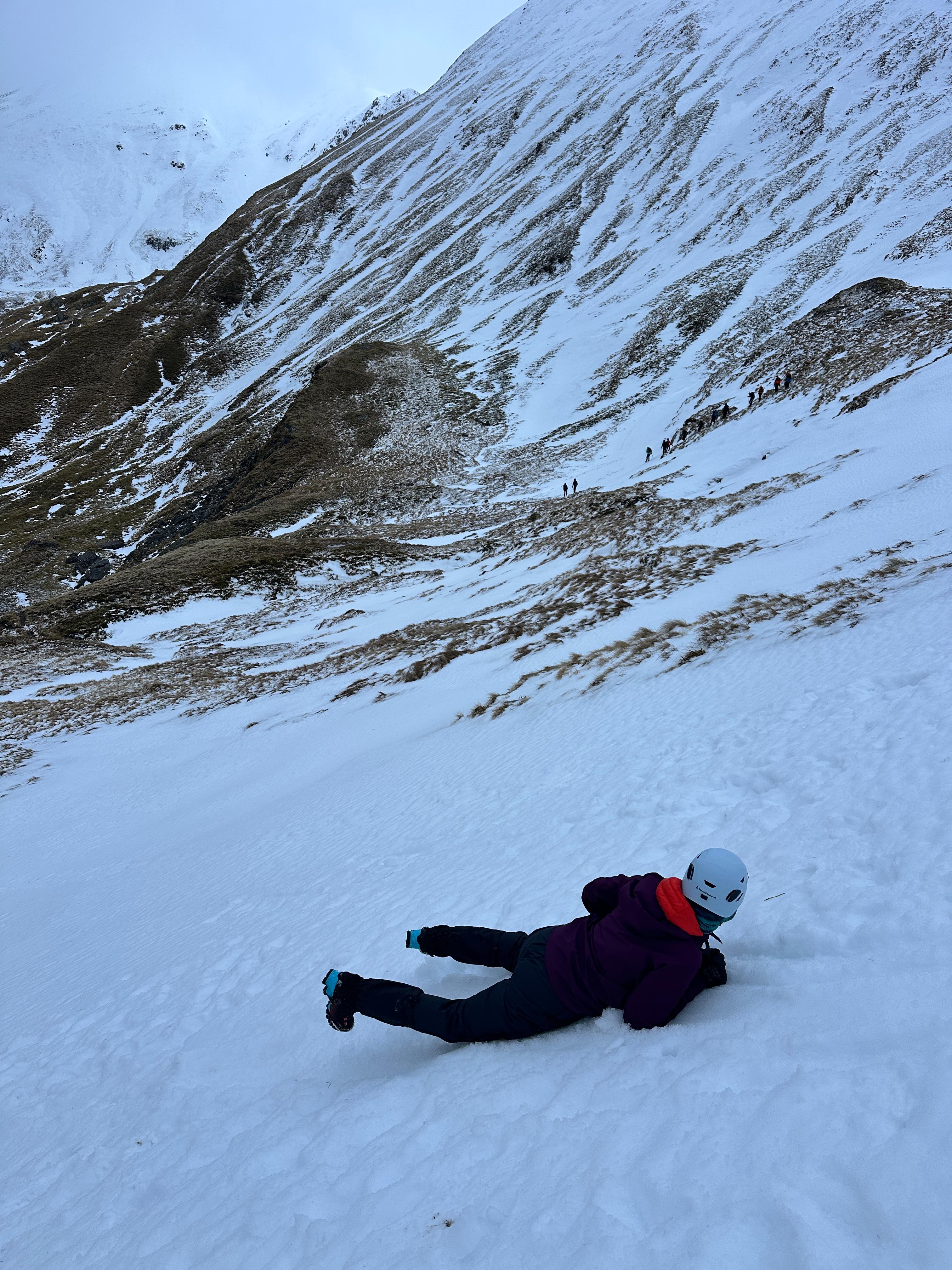
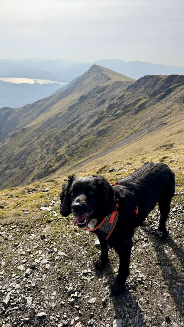
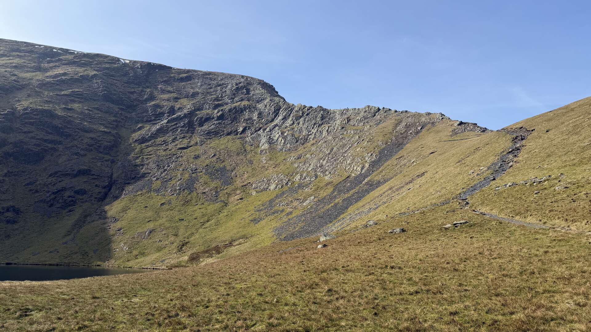
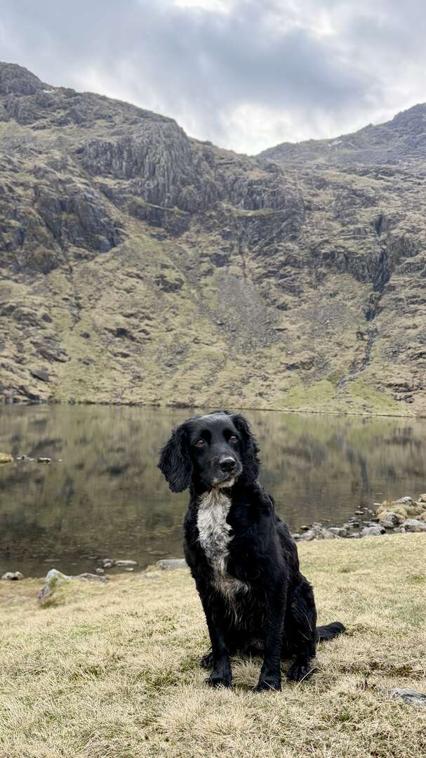
Seeing as the thread has popped up it's reminded me to add a few photos from Boxing Day onwards and a winter skills course I attended.
Did 8 munros over 4 consecutive days and then a couple of weeks ago I returned to the Glencoe area to do a 3 day winter skills course so I'm a little safer over winter in the conditions.
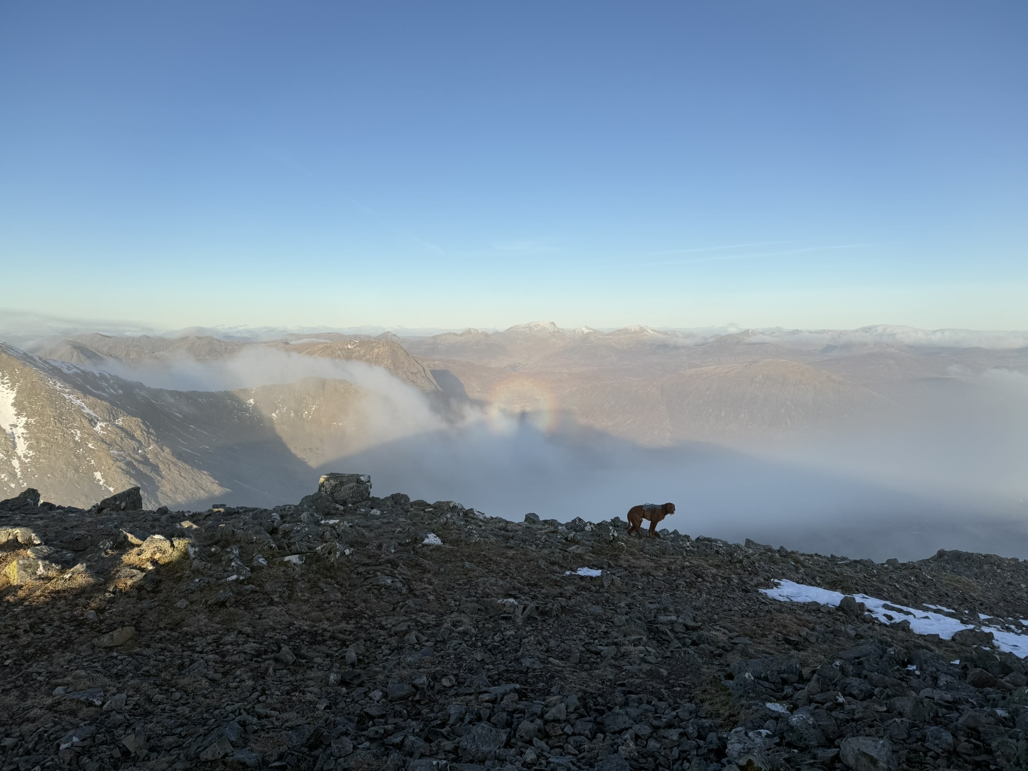
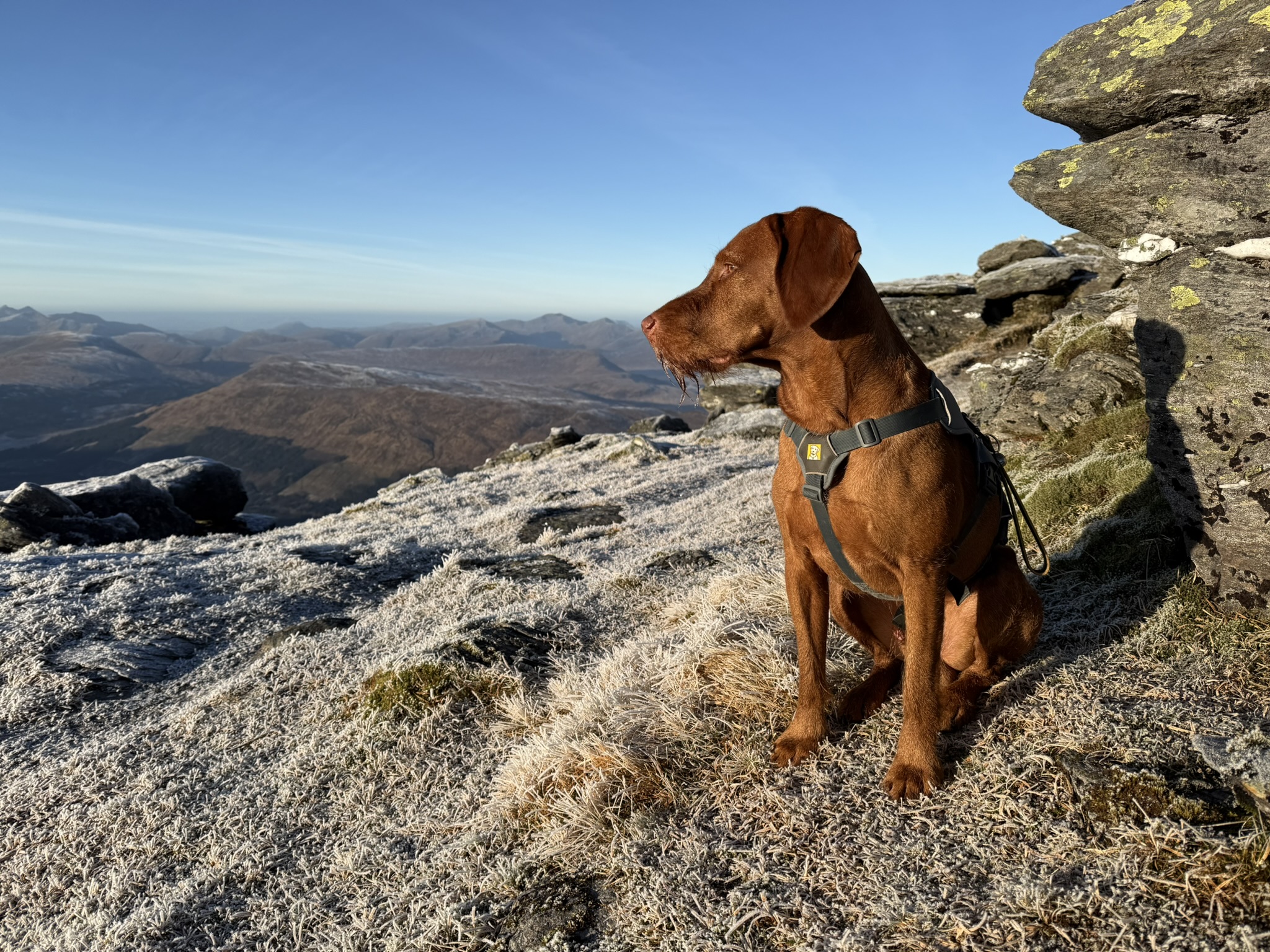
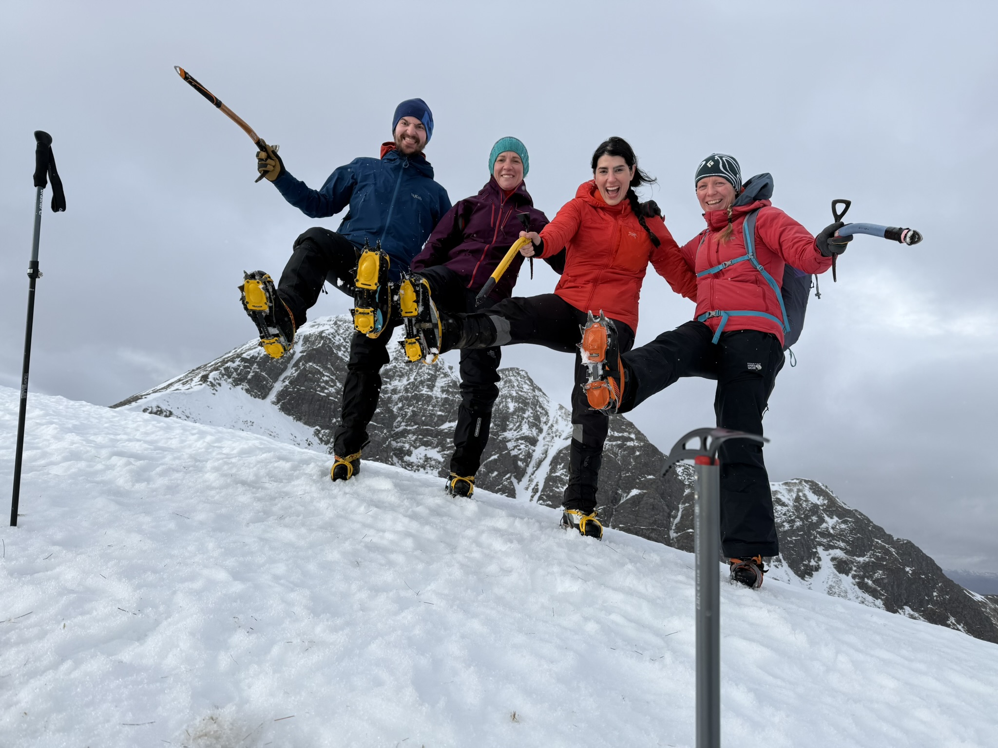
First pic ... dog completely nonplussed by Brocken Spectres 🤣
Last pic ... did they also show you how to arrest a similar fast slide, only head first on your back?
We went every direction possible head first back and front, feet first front and back. Was great fun having grown up somewhere that didn't get snow, I've never been sledging or had the chance to play in snow as a kid.
Snowdon, Foel Gron and Moel Eilio on Wednesday
We went up Gragareth today. 16km and we only saw 7 people. The crowds were probably on Ingleborough
Really was a stonking day on Saturday, short sleeves and glasses! 11 miles with 6 Wainwrights. Will be finishing this year so need to keep momentum til then.
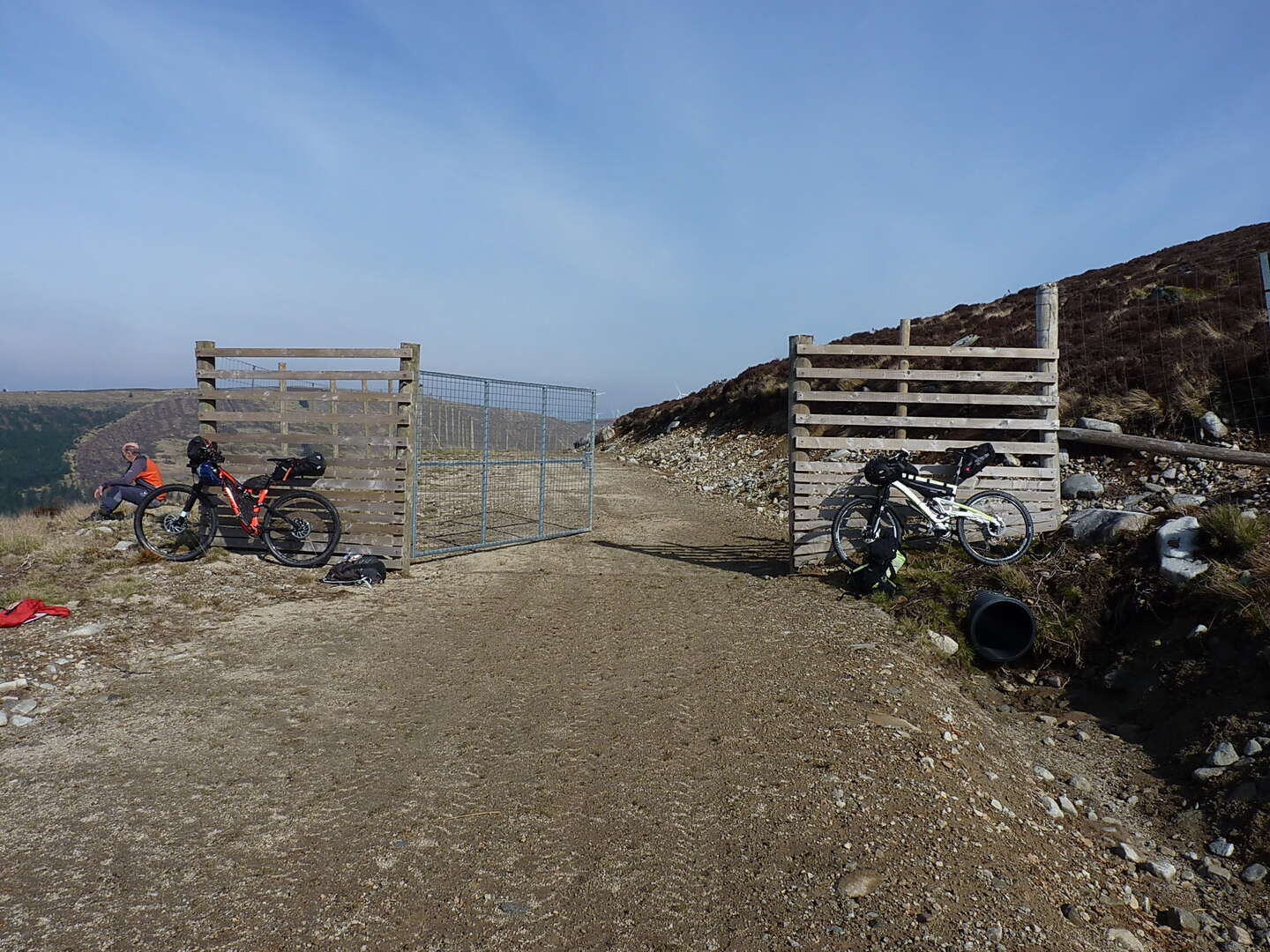
It's high time I was in a position to make another contribution to this thread, so here goes. Last weekend was taken up with a bikepacking trip into Clennoch bothy in Galloway, with the intent of doing the Corbett of Cairnsmore of Carsphairn as part of the weekend. So, on Friday pm we rode to Clennoch (there's pics on the relevant WRPT thread), then on the way out on Sat we took the track tha t runs along the northern and western flanks of the hill.
From the highpoint here:-
it's an easy enough stroll up grass and bouldery slopes on the west side:-
In total about a further 1000ft to the top:-
A large group (OK, 15 or so) of ramblers at the top kindly included us into their summit snaps, after checking we were happy to make an appearance on their Facebook. No probs with that, but I didn't think to ask who they were, except they mentioned using HF (Holiday Fellowship) accomm for some of their trips. Anyway, 'twas a grand day out, riding and walking, then riding back down the landrover track to the road.
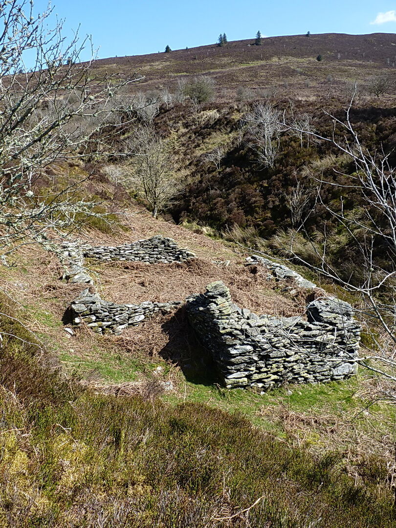
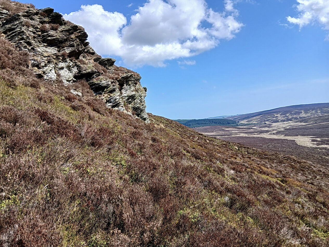
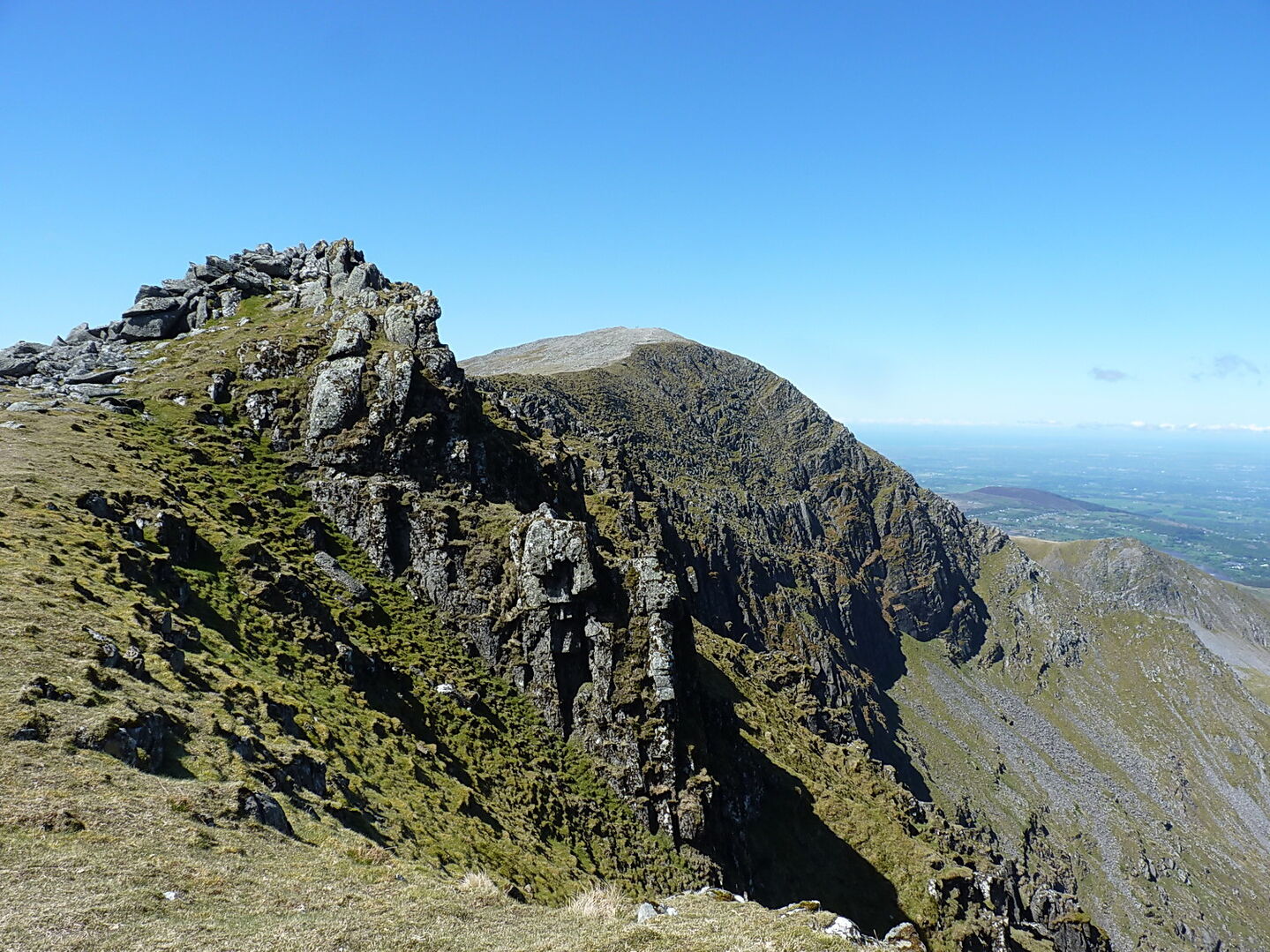
A couple of weeks ago, I found a nice bright day to explore a little-visited part of the north Berwyns range. It's extensive heather country, much of it former grouse moor, with very little in the way of decent paths, although there was a nascent track for a long way following the line of a fence which tracks an old county boundary, interspersed with a lot of interesting (to me, anyway) 18th/19th century boundary stones. Hard going, but at least the sun was shining. And I didn't see a soul all day.
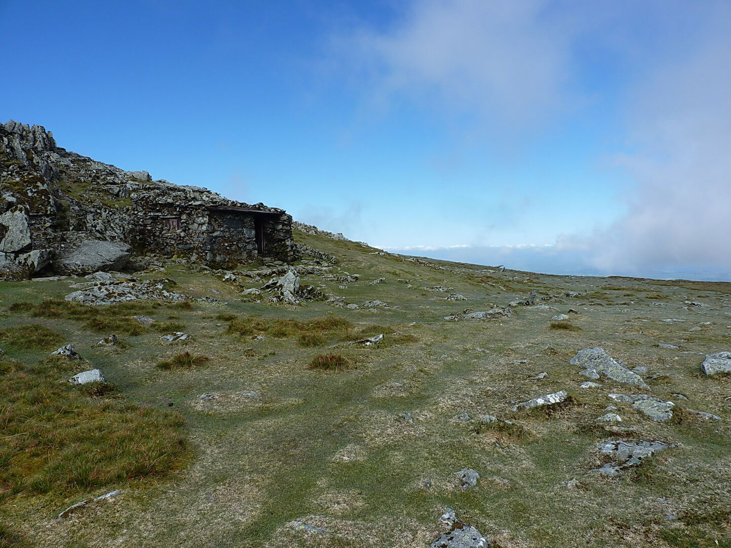
An old sheepfold and shepherd's shelter, tucked away in a quiet side valley
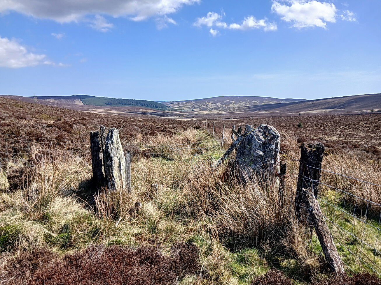
One of many vaguely similar boundary stones that defined the county line between Denbighshire and the (old) Meirionethshire
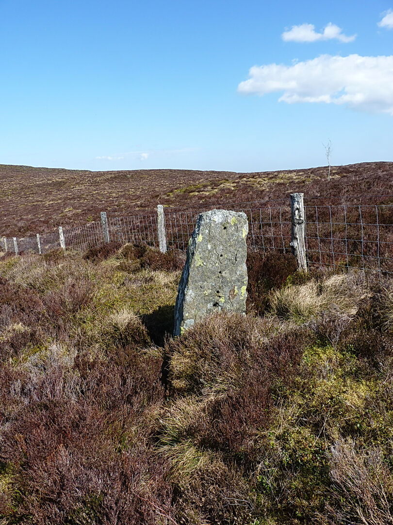
The likely source of a lot of said boundary stones
This old gateway marks the route of a former route across the ridge - to the east of it there's a public footpath mapped, but to the west its shown as 'other right of way'. Neither really exists on the ground
A bit further west than the other photos, some of the land has been improved for sheep pasture, which makes for much easier walking
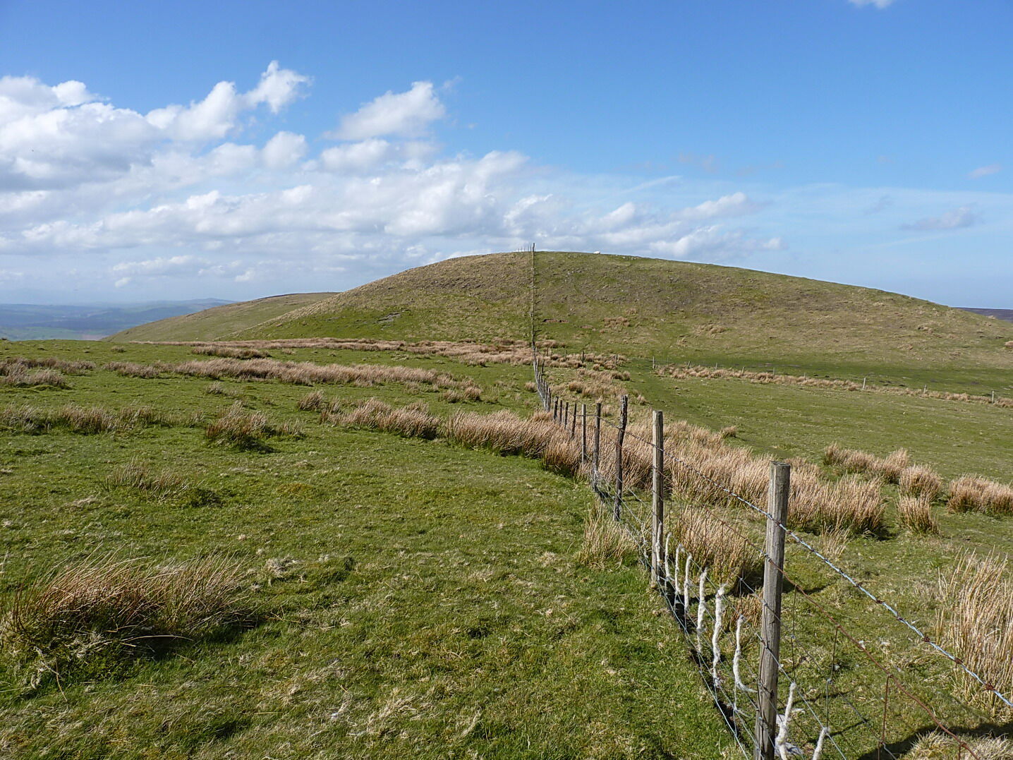
Overall it's a lovely part of the world, and little-visited by many people. As this area barely rises above 600m, the attractions of the main Berwyn ridge to the south get much of the traffic instead.
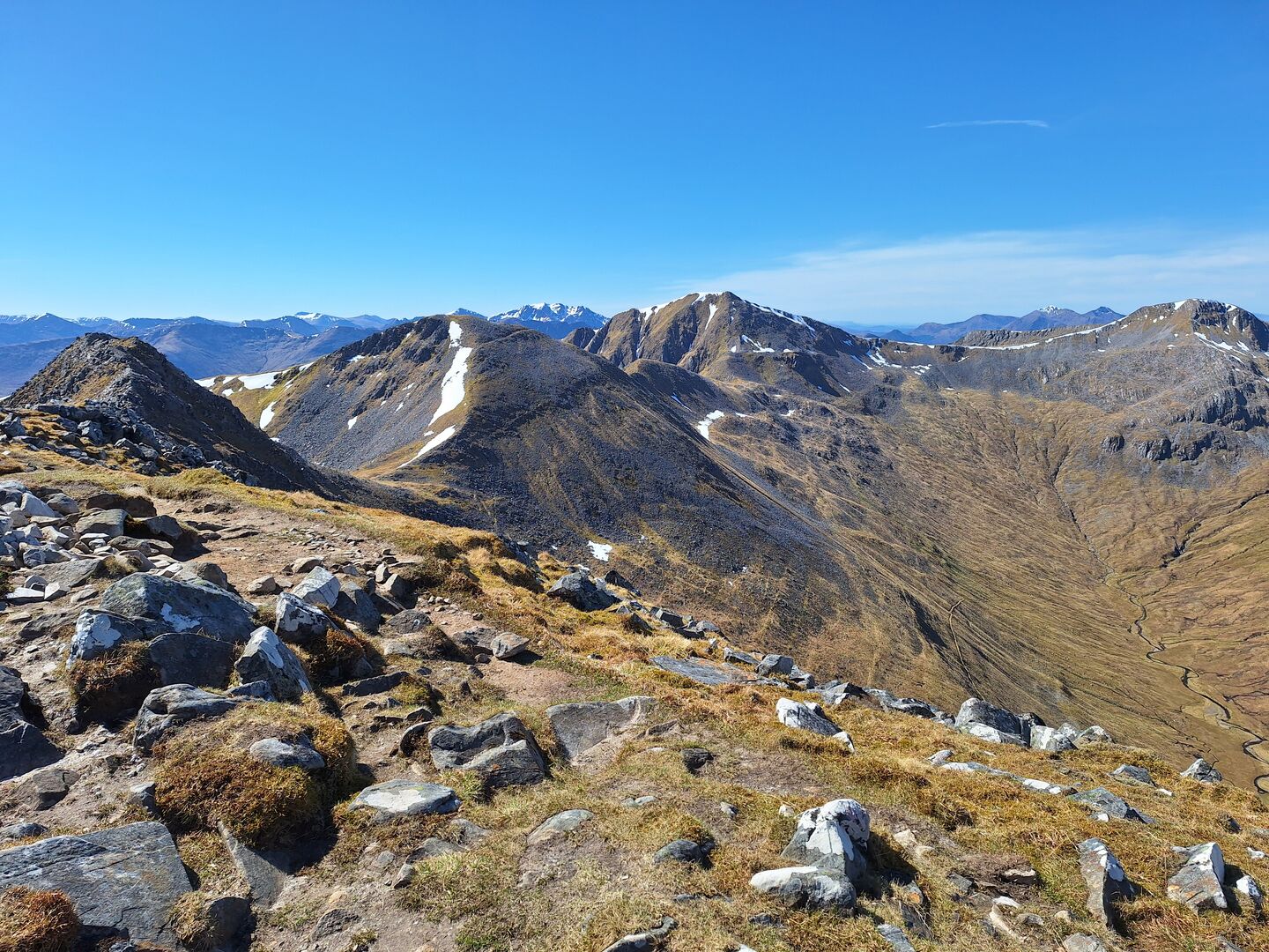
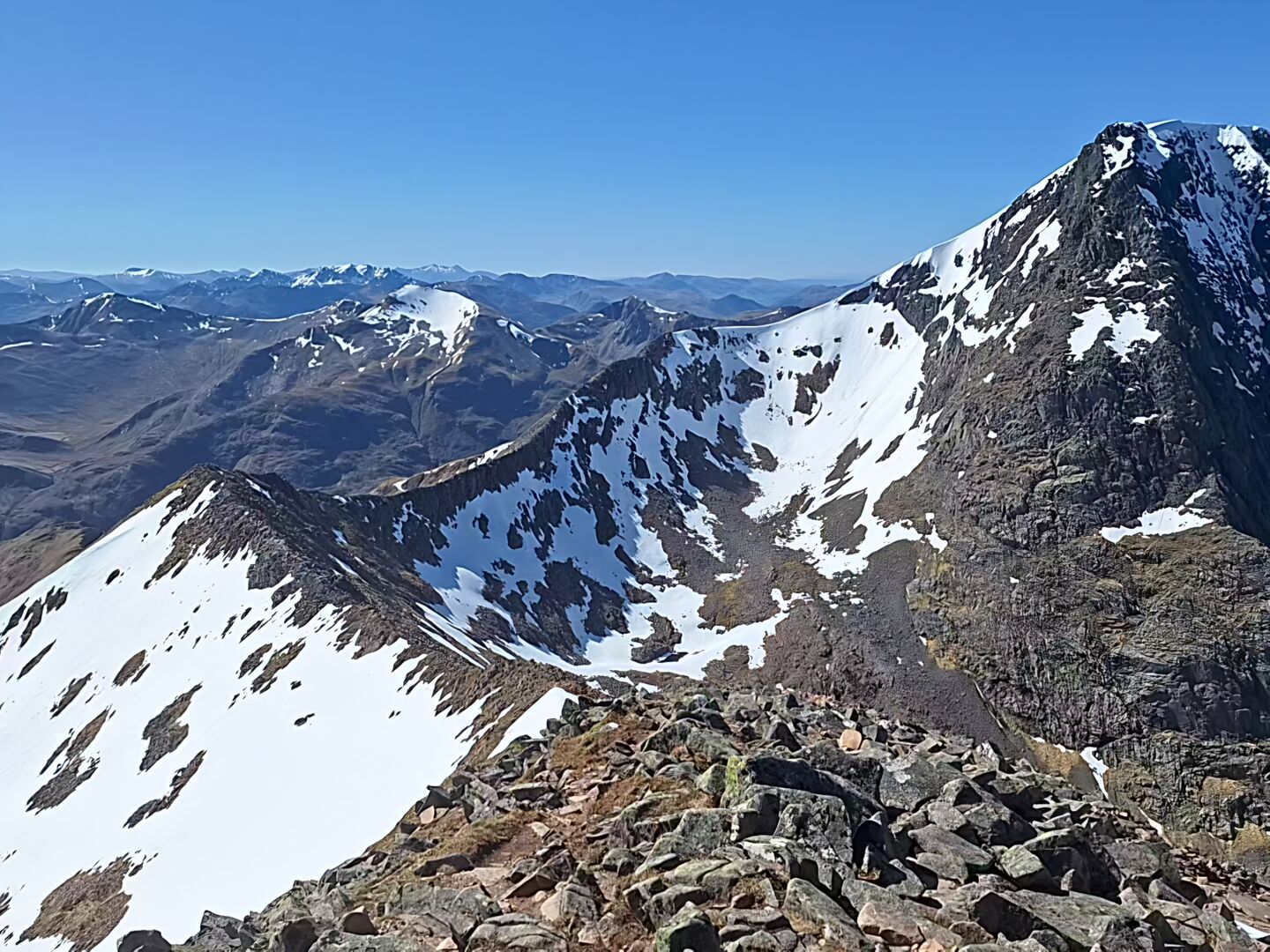
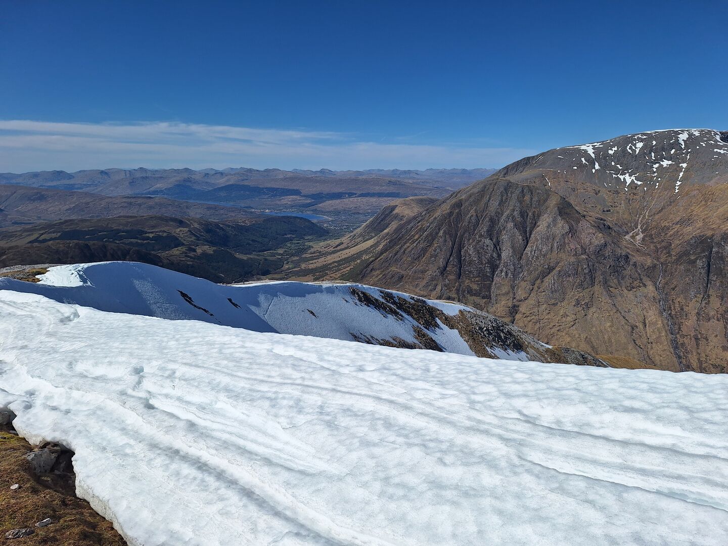
@kormoran, I cannot find the original thread but thanks for the tip of Ben Nevis via CMD which led to a great day out on Wednesday (i am unsure how to reorder the pictures, so 3rd picture down)
Followed by Ring of Steall on Thursday 👌 (pictures 1, 2 & 4) 
Had an absolutely amazing time last week walking the west highland way. Did it in 6 days (a day quicker than planned) then climbed Ben Nevis on the day afterwards,.as a bonus. 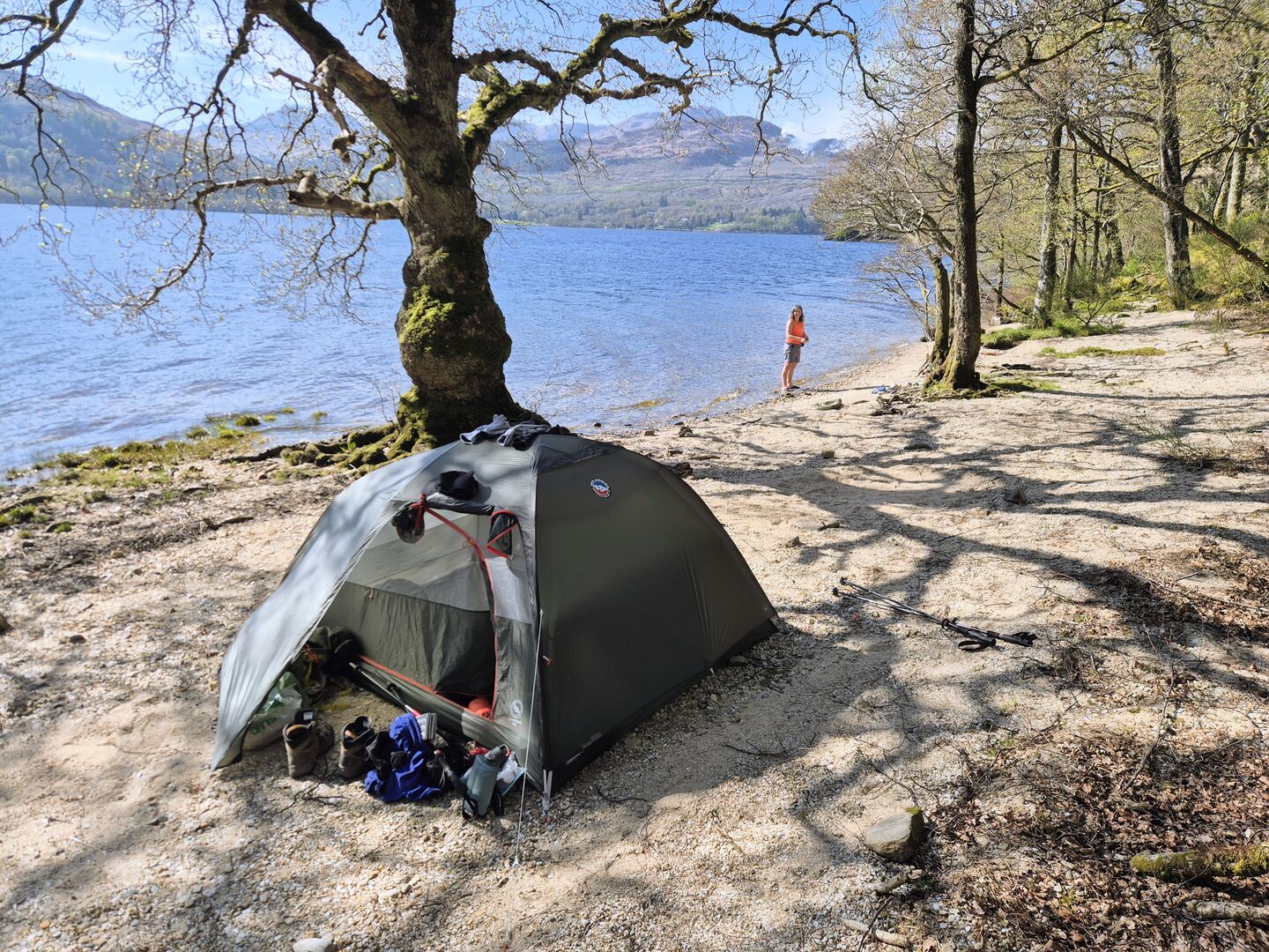
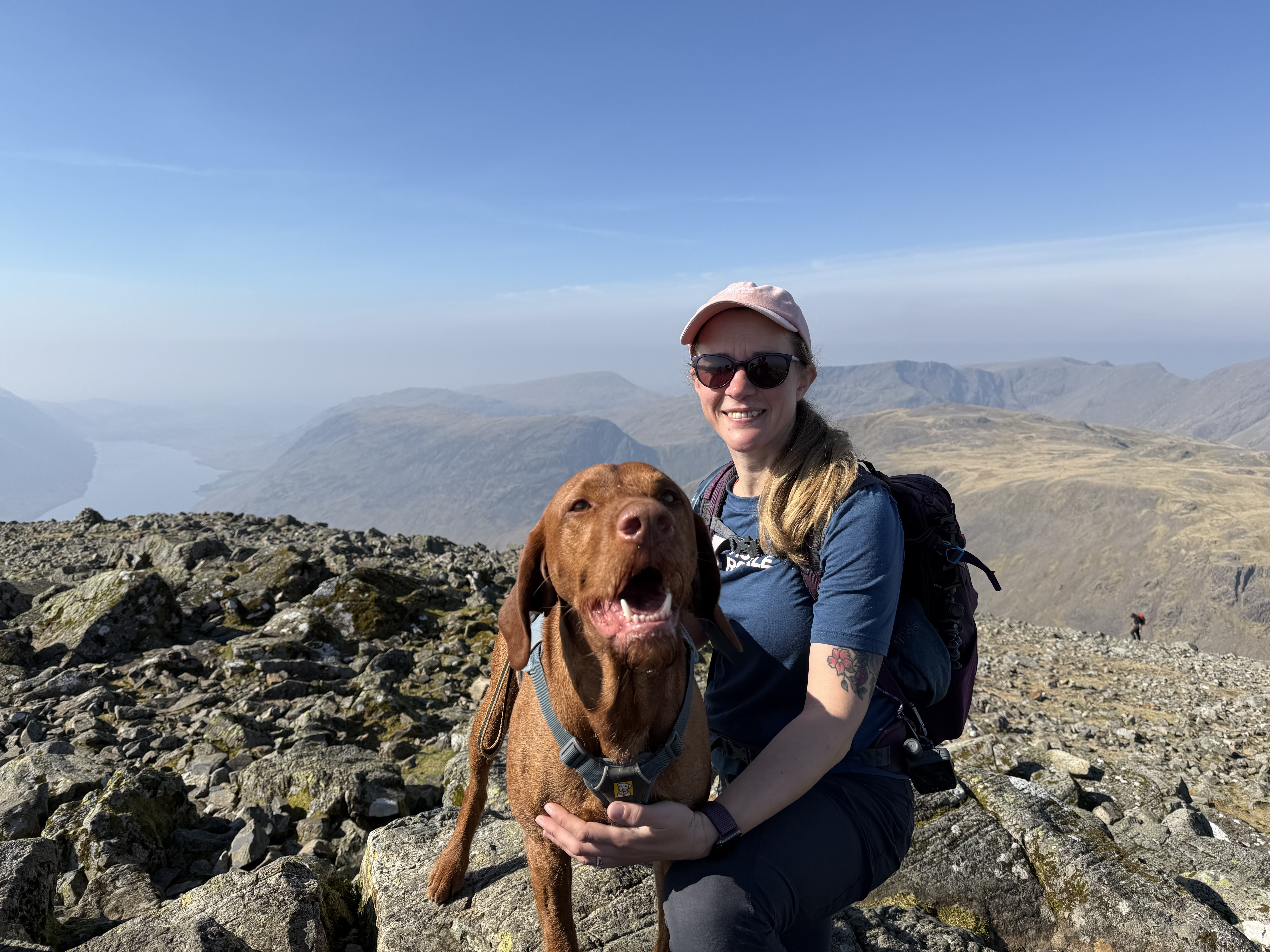
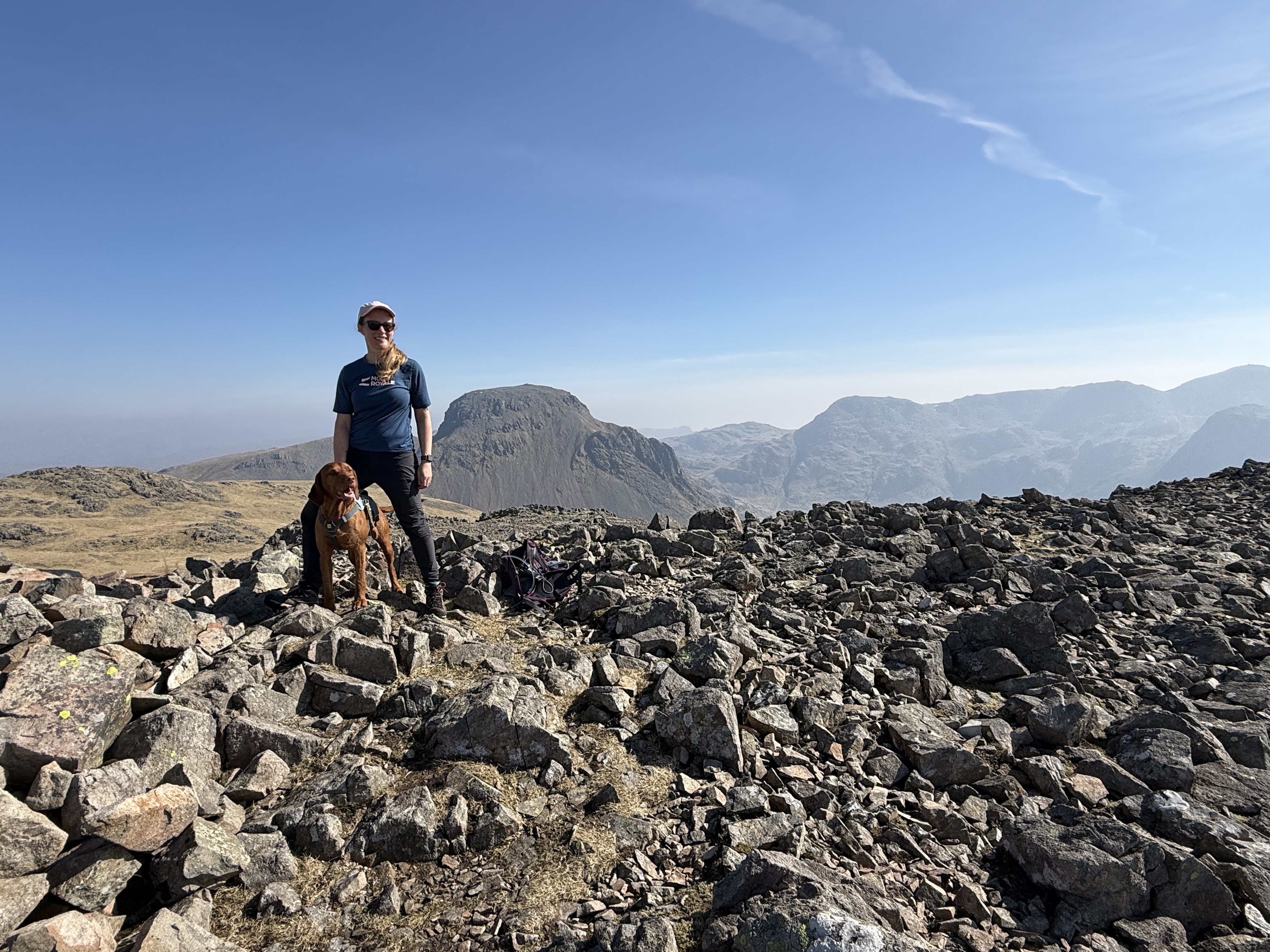
Just had a magnificent 9 days in Scotland, dog free so I could bag some not so dog friendly Munros.
- Buachaille Etive Mòr
- Schoolhouse Ridge
- Brothers Ridge
- Liathach
- Sgùrr na Banachdaich
- South Cuillin Ridge
- North Cuillin Ridge
- Five Sisters of Kintail
Blimey, that is quite the run of days out!
Yeah managed 19 munros so pretty happy with that. Next I've got my sights set on some where staying overnight would be beneficial, like Ben Alder and those nearby.
You are knocking your way through those hills faster than a fast thing 👍. I think my best ever years were 1995 and 2003, when I did 20 and 22 respectively, but living 400-odd miles south of Ft Bill doesn't help
I'm 270ish miles away myself so not quite as bad and I'm beyond the rubbish traffic as well so it's an easy journey up. They'll become harder soon as the more awkward and longer walks need more time off. Currently I can fit some in after work on week days but I'll run out of those. Currently on 32 for the year so have already met my target but I have a side target of at least 5 which require overnight stays. So that's 5 nights overnight, rather than 5 munro's. I like to have wee aims for the year!
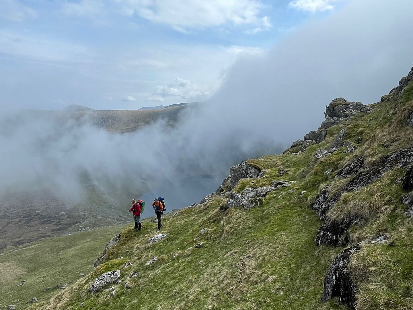
I took a couple of days with my brothers to explore the northern Carneddau two weekends ago. We left a car in Betws y Coed, and took the other one round to the carpark at the end of the Roman Road below Drum, and walked up into a rather misty afternoon:-
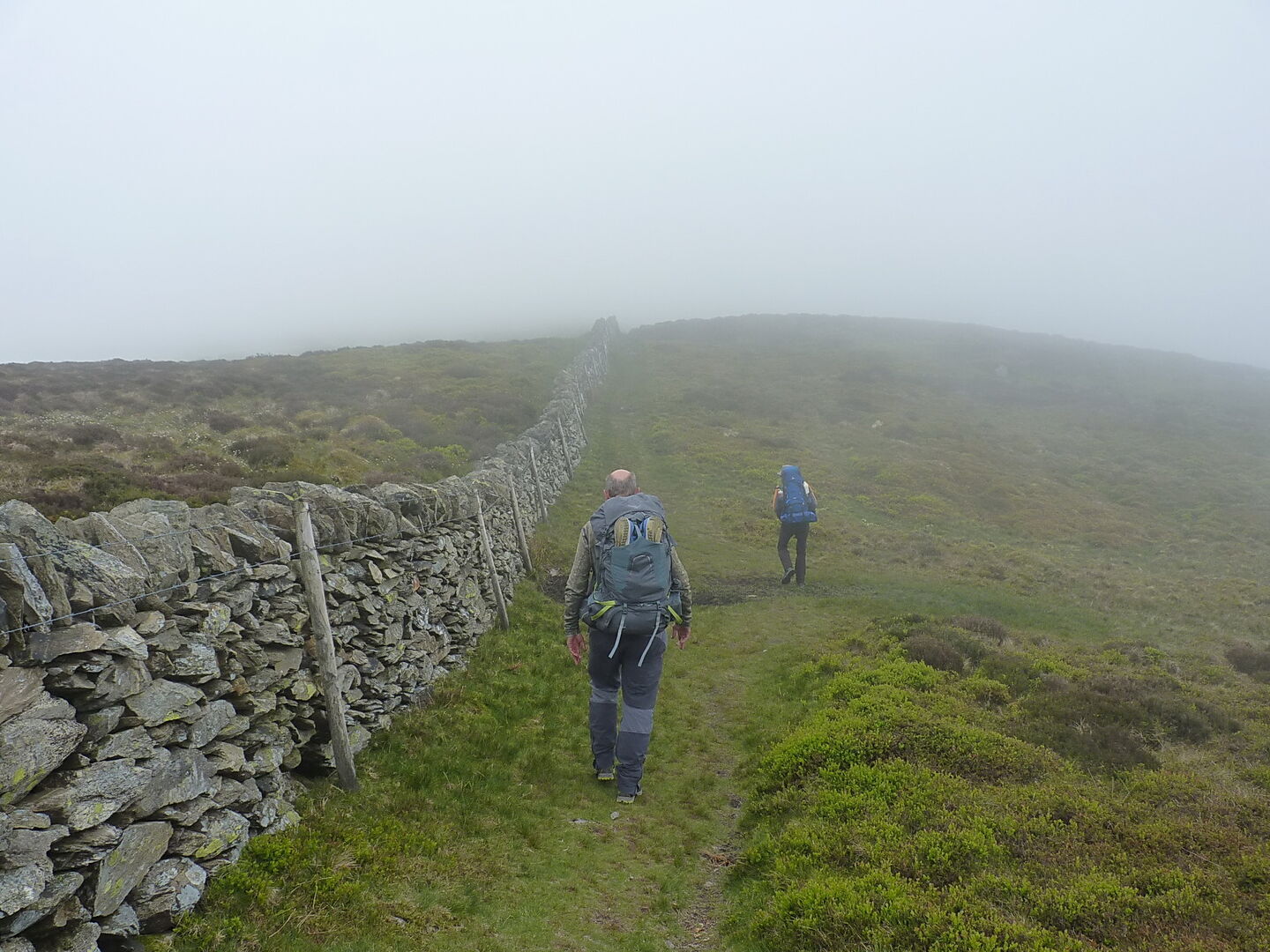
The solid clag persisted until we were almost onto Foel-fras, before it started to lift:-
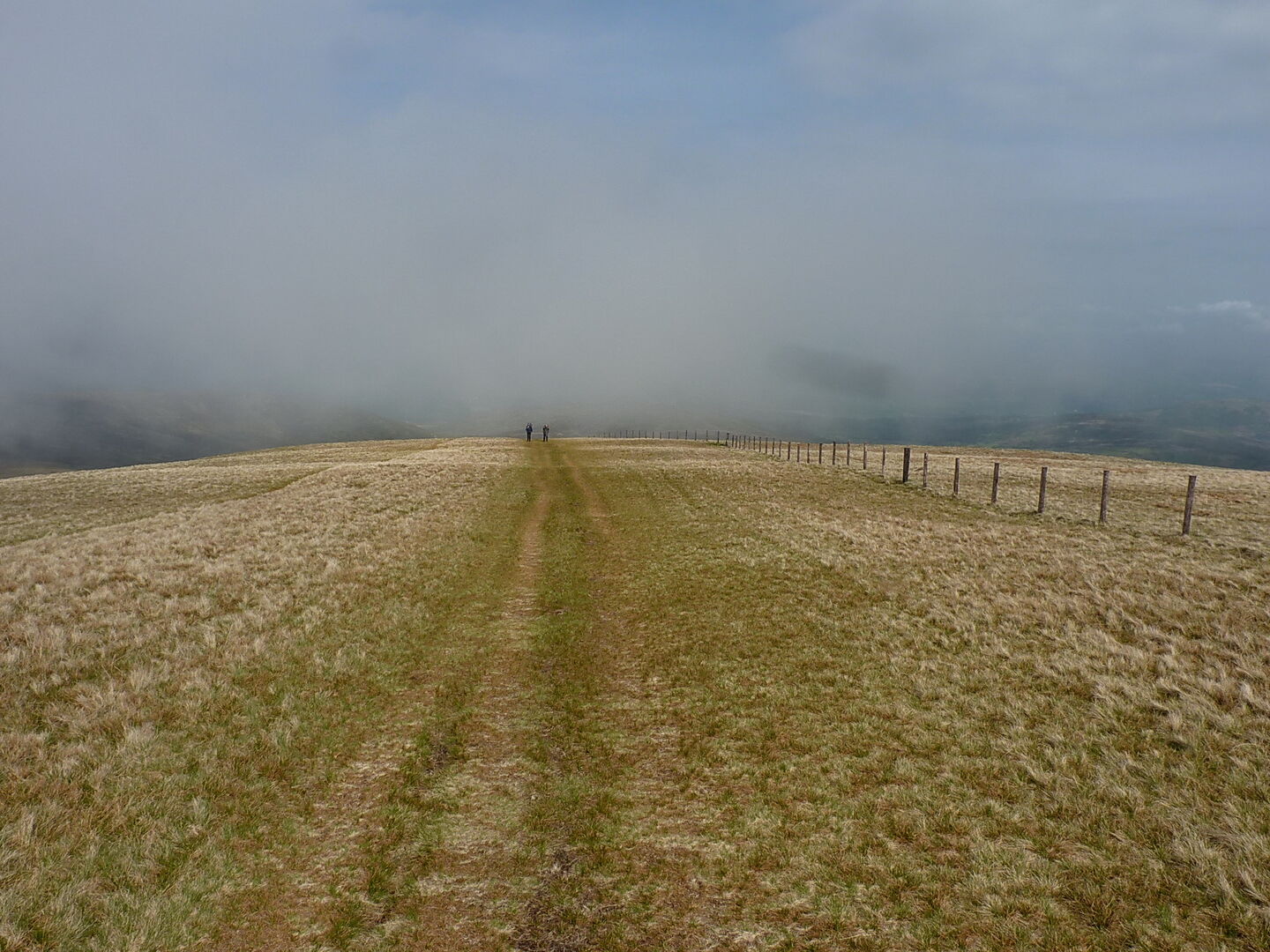
then became a bit on & off for the rest of the afternoon
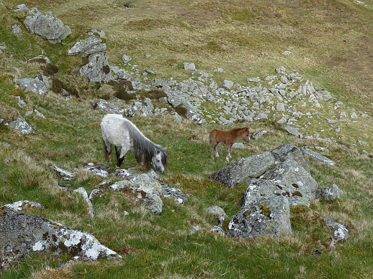
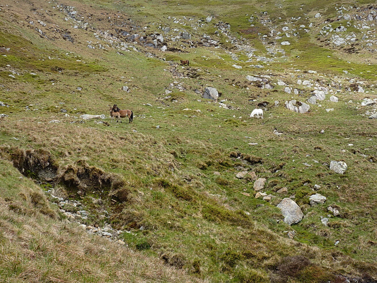
On the way down towards Dulyn Reservoir, a small group of Carneddau Ponies, with gamboling foal:-
and nearby, two slightly selfconscious-looking brothers:-
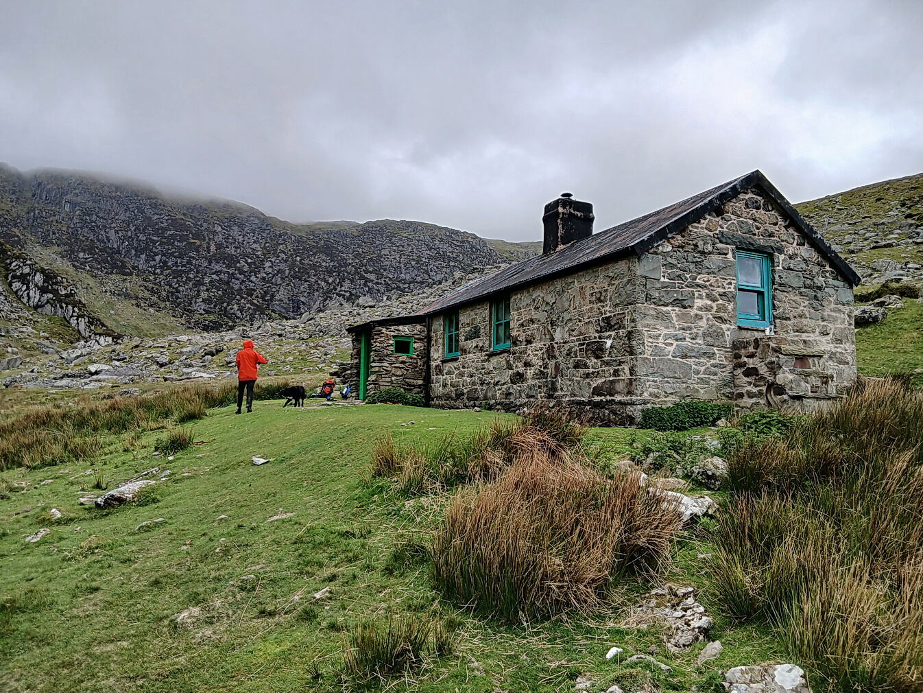
An uneventful night followed at the (quite crowded) Dulyn bothy, where water supply was a bit suspect due to very slow flow in the nearby stream. Turned out to be OK, but it could have been problematic
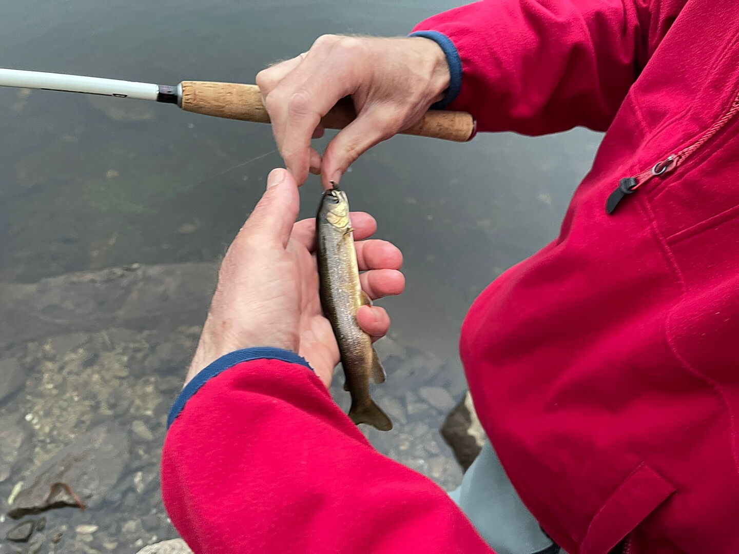
We even caught a couple of cheeky small trout in the lake:-
Next morning we met more ponies and another foal
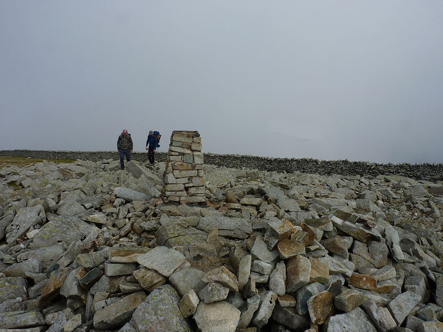
on the way up Foel Grach to the summit shelter hut
That was followed by a traverse of Carnedd Llewelyn, the ridge across the top of the Black Ladders
and then over Carnedd Dafydd and Pen yr Ole Wen to drop down into the Ogwen valley for a bus back to the car in Betws.
All in all an excellent couple of days out, for 2 blokes who are now the wrong side of 60 and 1 who'll be there next year.
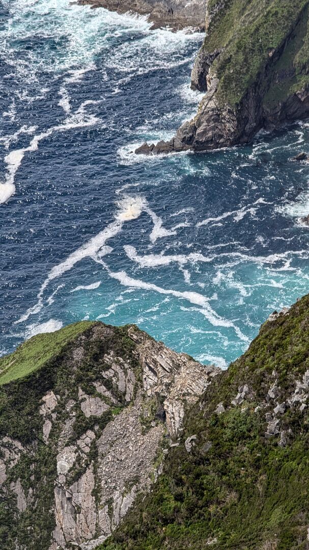
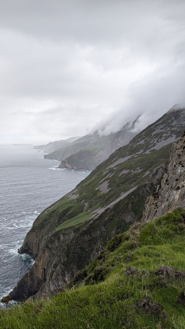
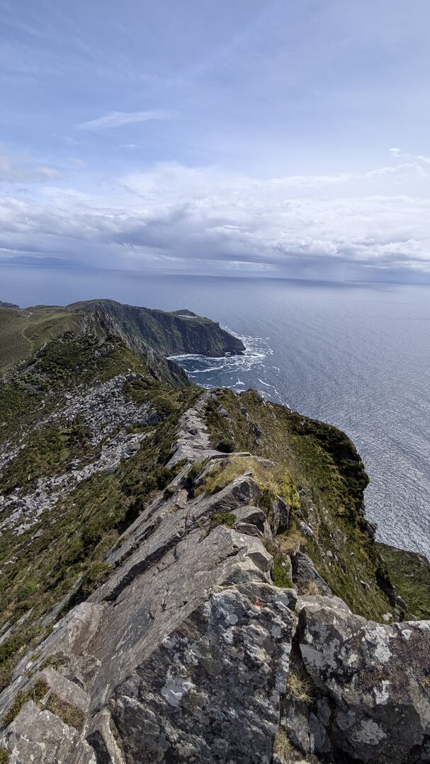
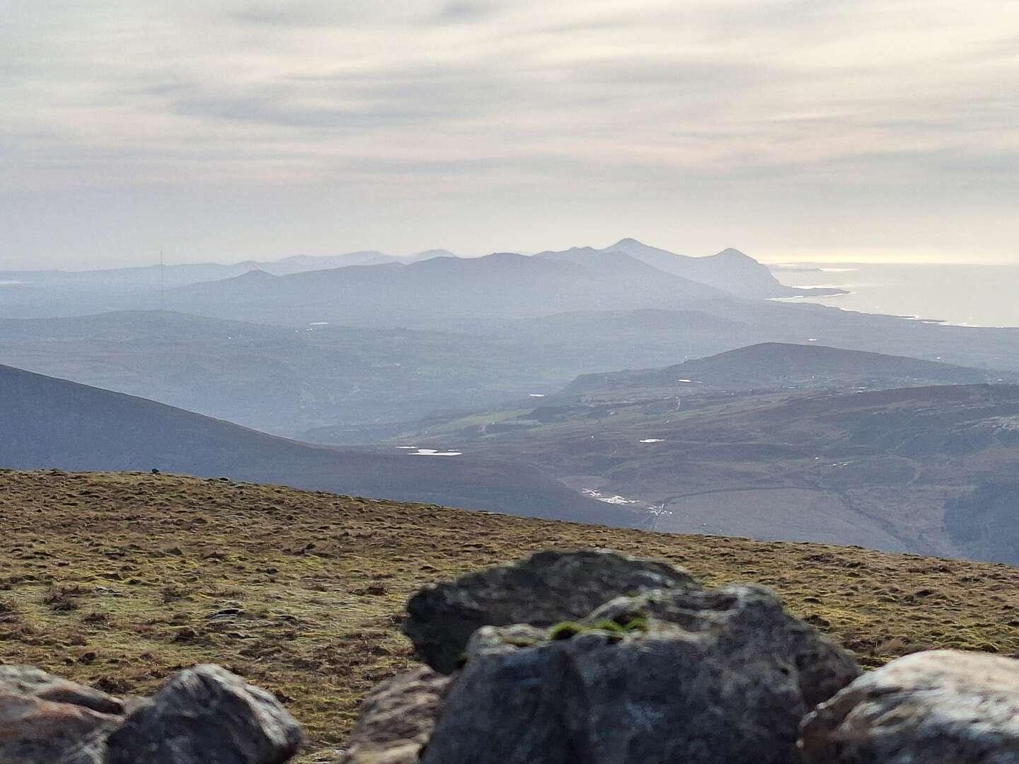
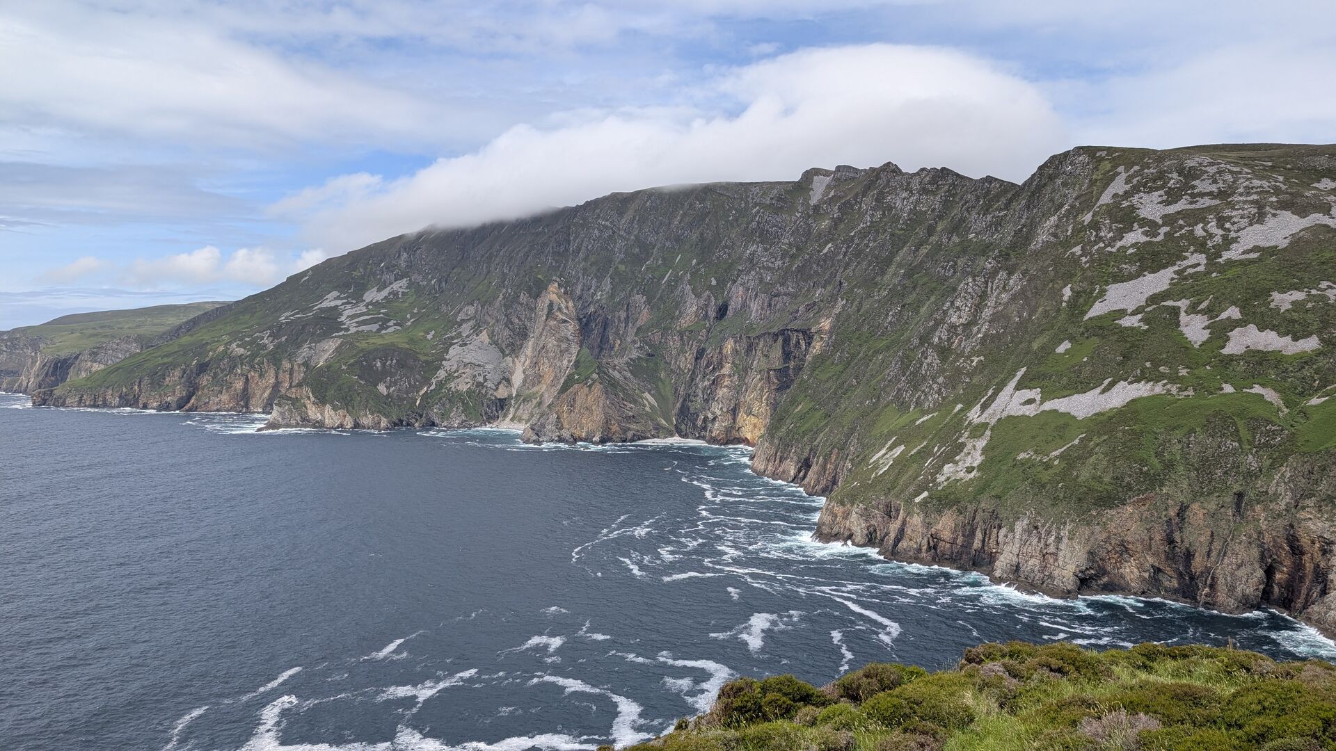 Sadly a day out on Errigal has been washed out yesterday due to 'a soft day'. Today, despite an even wetter and windier forecast, saw us get up Sliabh Liag. 75% dry, warm and sunny. 25% sideways rain as we neared the road....
WTF, this fekking forum again.
I give up.
