UPDATE: CLASSIFIEDS section refreshed, redesigned, searchable: Go take a look
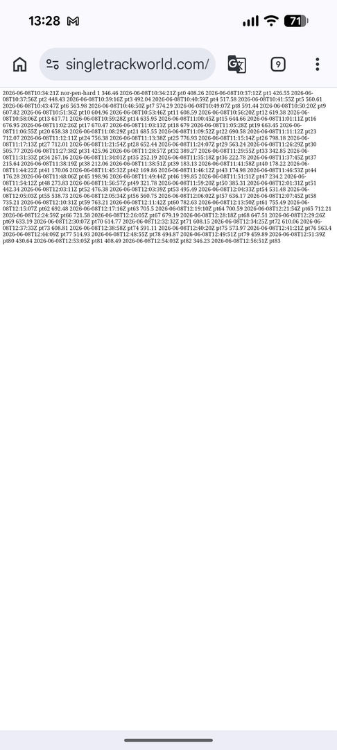
Links work fine on Android/Chrome. Variations on those routes are my standard Solstice/Equinox trips; I'll be up there in the next couple of weeks.
With mobile, once downloaded you'll need to fire up your gpx viewer app of choice (I use GPX Viewer on Android), locate the downloaded file and open it.
Link seems fixed now to me.
"...doing all three in one weekend,..."
Am I the only one who only sees two routes though?
The "gobbledegook" is what a GPX file looks like if you open it with a text editor. I've tried downloading it and then uploading it to bikehike.co.uk to display on a map and it works fine.
It's worth noting that the last time I did the larger route (2024) the section of unclassified road that descends down to Tynehead (Meadowhead Culvert) was closed due to an "unsafe structure" (and looking at the entry point on Google maps that hadn't changed in Jun 2025). It also might not be to everyone's taste because the end of the ride isn't as good, but occasionally I've started and ended this in Dufton because it has loos, a shop/post office and a pub (the pub in Garrigill closed in covid and didn't reopen, though I think there's a plan to reopen it in 2027). If the weather is good I usually push up to the top of Cross Fell - it seems a shame to be so close to the summit and not grab the views, as they are spectacular on a clear day. The descent to Blencarn is also my favourite route down.
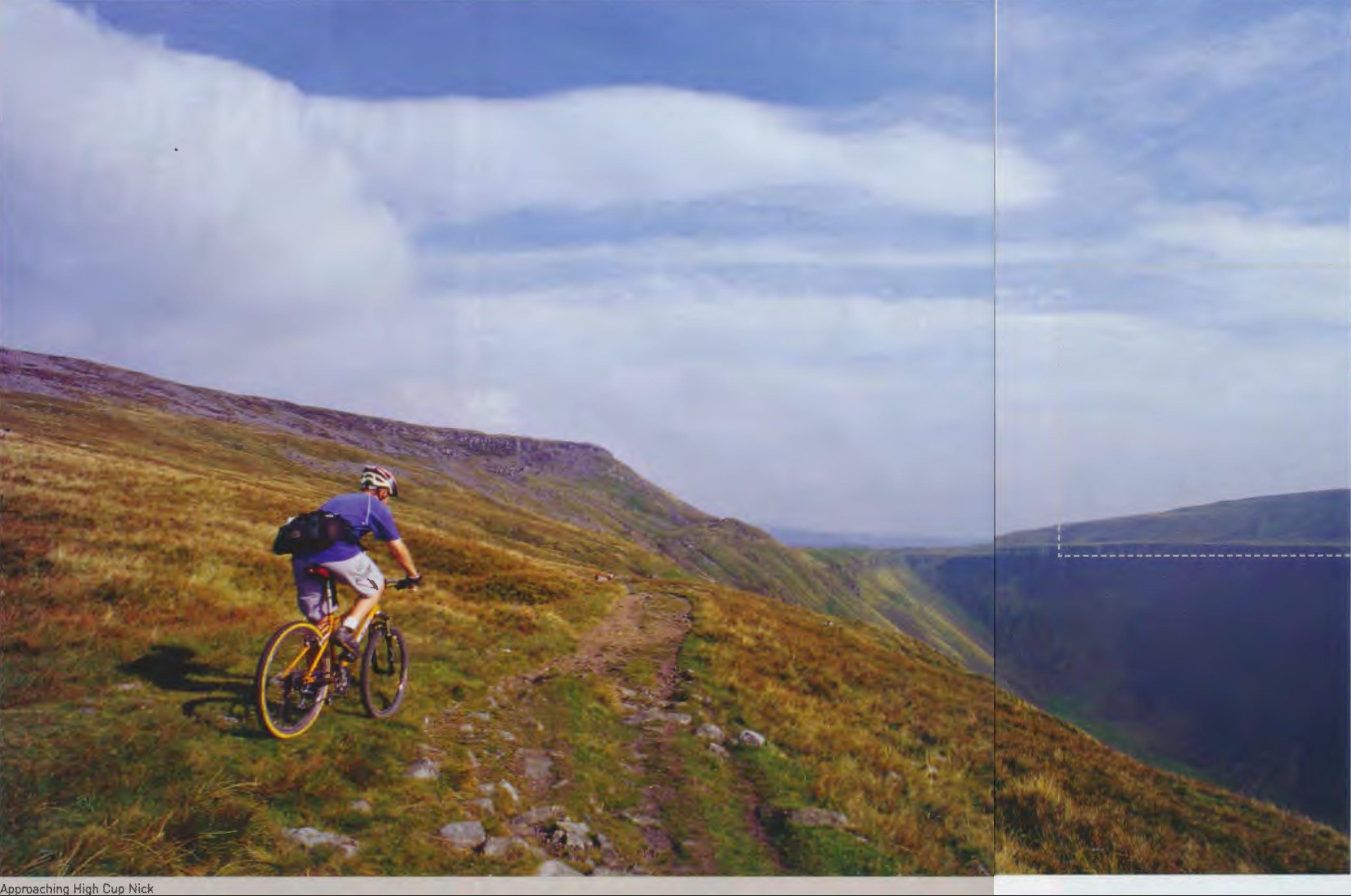
The Tynehead link to the road is pretty thankless, not one I'd tend to ride. I'd always take the track from the county border to the Cow Green car park (or vice versa) rather than road options; never had problems with farmers I've met despite the 'no bikes' sign at the lower end. A few pics.
closed due to an "unsafe structure" (and looking at the entry point on Google maps that hadn't changed in Jun 2025).
curiosity led me to this
https://maps.app.goo.gl/AGujBWNhCd9V2rLd6