Viewing 12 posts - 1 through 12 (of 12 total)
  • The history of your local trails
  • Harry_the_Spider
    Full Member

    After a chat in the pub after this week’s pub ride we got talking about the history of the area that we had just been riding in.

    The pub had a fecundity shrine buried in the wall (now on display).

    There is a barrage balloon anchor in Philips Park.

    The drained canal that you ride along the bottom of did this in the 1930s (hence it being drained).

    wors
    Full Member

    Winter Hill Scrap book

    Fascinating read.

    wrightyson
    Free Member

    Shining cliff (ambergate) woods which is where we ride a lot during the better months is believed to be where the nursery rhyme rockabye baby originated. I found that out last month.

    martinhutch
    Full Member

    I mainly ride along tracks used by Monks to transport illicit mead from abbey to abbey.

    benslow
    Free Member

    I’m frequently on the Icknield Way in North Herts.

    A very old route with many tales to tell.

    Harry_the_Spider
    Full Member

    A very old route with many tales to tell.

    Such as?

    spacemonkey
    Full Member

    I grew up in the foothills of the South Downs so spent a fair bit of time messing around up there.

    Plenty of Neolithic (Stone Age) trails, pre-Norman churches and lots more.

    doug_basqueMTB.com
    Full Member

    I find this fascinating. Someone did an article about it in ST and it really got me into it. Our trails here are really interesting. We have two things, iron ore trails and charcoal trails. These date back to 1700´s when this part of the world produced massive amounts of iron, thanks to 3 things. Firstly we are on the coast so you have transport, secondly we have very shallow iron ore deposits and thirdly we have a large forests to supply the charcoal to refine the iron. It´s left us with a maze of trails, some lost which I spend time recovering, and some still used. The charcoal was carried out on horseback so those trails can be steeper and twistier and they pass through the circular depressions where they burned the charcoal. The iron trails tend to be shallower because the iron was heavier I guess so they needed easier trails. We still pass through ruined buildings, both from the workers, owners and also from the refineries.

    In the Pyrenees we have a different history. They were market trails linking villages. In the early 20th century those villages were largely abandoned as people moved for an easier life in the towns but the web of trails remains. On one hill we have a church 1000m up a mountain, with 6 villages round the base. Each village connects to the next village with trails and also each to the top with trails.

    I get really excited by it all. Sad I know.
    richpips
    Free Member

    Lots of interesting stuff round here.

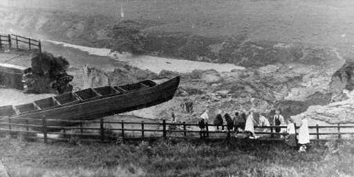
    Few know these underground grit flag mines exist.

    xherbivorex
    Free Member

    binners once saw a bloke wearing nowt but a corset in the woods on the trails local to me.

    that’s all really.

    hora
    Free Member

    Mam Tor was an old Iron Age fort- you can still see the outline around it.

    A cheeky somewhere in the Peaks has an substantial abandoned farm with walls, road and buildings all with trees growing in and around it. Looks fascinating but I can’t tell you anymore about it for fear of giving up the cheeky.

    Milkie
    Free Member

    Often see weirdo’s in medieval gear with swords and things. The wood was an iron age fort I think.

Viewing 12 posts - 1 through 12 (of 12 total)

The topic ‘The history of your local trails’ is closed to new replies.