Anybody ridden this? Worth a go? West to East? How many days?
Have ridden some bits as day rides.Probably riding some on Tues. Either from Sanquhar or Moffat.
The general consnsus having talked to some people who have had a go is start at Newton Stewart.
There are lots of big rolling hills and lots of walking sections if you try and follow the route as per map.
Need to be pretty well self supporting, not much in the way of cafes en route.
The ground tends to be very tussocky unlike the Lakes, Howgills or up North.
I would certainly not ride the section from Moniave to Sanquhar again, tussocky sheep track mainly with lots of ditches from vague memory.
The section from Sanquhar to Moffat includes some big bikeable hills and some hike a bike sections.
Straight out of sanquhar is uphill, then a push before a good descent followed by a contouring grind round another hill followed by a good descent into Wanlockhead. Good cafe here.
Then it is a slog uphill, take the road, to the radar station. Advice here is to take the Enterkin Burn track 😆 rather than the SupW. The SupW is a real nightmare of a hike a bike section all the way to the Dalveen pass.
At the Dalveen Pass you ride up the road to a gate, then ride through a feild, a forest and the a farm road to the Daer.
From the Daer it is at least a 1hr hike onto the top of the hill. This is followed by a grassy descent down Brattle Burn. Sometimes good, sometimes bad. All depends of farmer/ranger using a quad to flatten gras on the track. Through some more feilds to the top of the "sqiggly road" above Beattock. Descend said road to Beattock and then on to Moffat.
From Moffat it is relatively easy riding to Peebles. A bit of an uphill drag through a forest to start with then bear left onto a bit of singletrack. This could well have suffered from erosion due to the snow this winter. After crossing into the Borders district(over a fence!!) it is easy riding from there to Peebles/Inners.
Need to study map carefully and not set distance targets too high. Finding accom en route could prove difficult so may need to add miles for that reason.
Have fun 😆
http://www.southernuplandway.gov.uk/cms/
http://www.southernuplandwayholidays.com/
[url= http://www.southernuplandway.gov.uk/cms/index.php?option=com_content&view=article&id=70&Itemid=56&phpMyAdmin=50c87a502e44e04aa55c02496da60605 ]interactive map[/url]
http://www.visitdumfriesandgalloway.co.uk/walking/southern-upland-way/
http://www.celtrail.com/upland/
http://www.gallowaycycling.co.uk/
Couple of Belgian guys I guided for a couple of days above Wanlockhead:
[IMG] 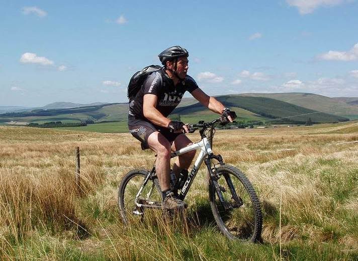 [/IMG]
[IMG] 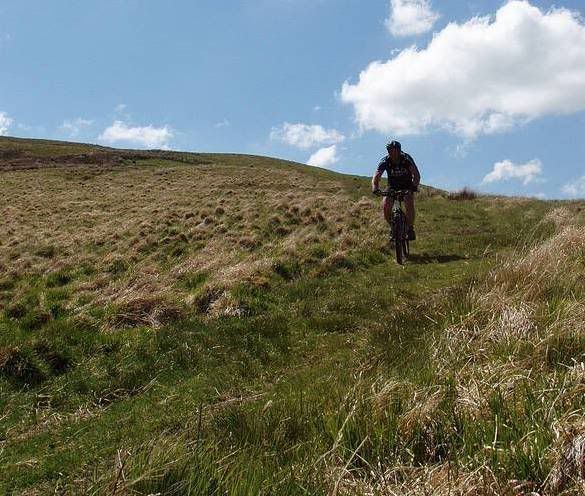 [/IMG]
[IMG] 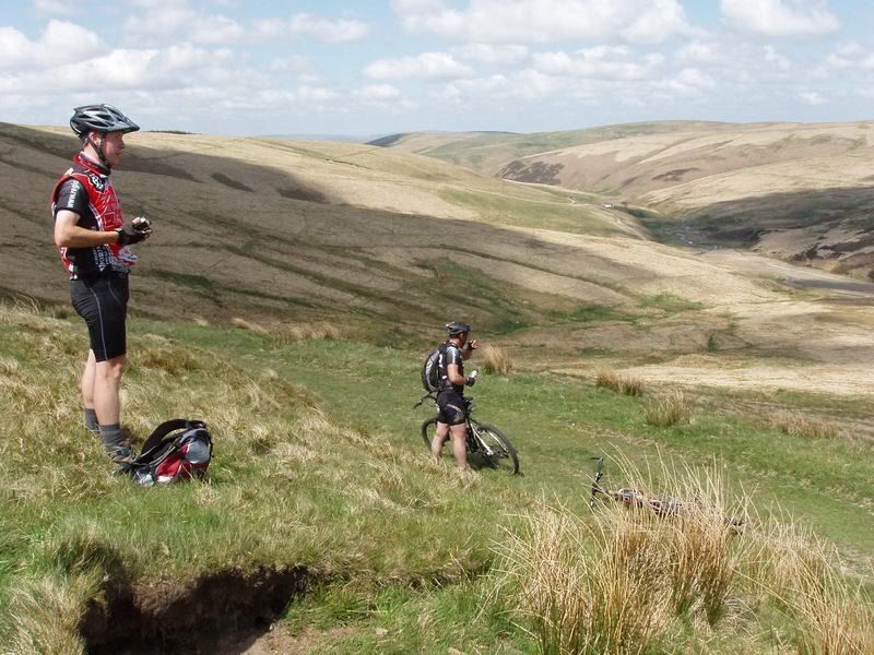 [/IMG]
5hr ride from Drumlanrig to Sanquhar to Wanlockhead to Durrisdeer and back to Drumlanrig
I have ridden the short section near Loch Trool and some of it is great.You must ride the loch side footpath not the diversion its groovy baby, however be warned this area is a midge hell hole do not go after May without midge nets as any punctures or stops for any reason in still air WILL involve madness .In fact we were bitten at Kirr on wed night, the nightmare has started.
4 big lumps/holes in my leg from Drum last week.
rode that loop on monday trekster . good innit ....
my advice would be - unless there has been a drought dont bother with the suw - it turns to clagg
rode that loop on monday trekster . good innit ....
my advice would be - unless there has been a drought dont bother with the suw - it turns to clagg
Might be doing something around there on Tues. 1st time on a bike up there was about 20yrs ago 🙄
Love it!!!
what trail_rat says
what trail_rat says
