- This topic has 13 replies, 10 voices, and was last updated 8 years ago by NorthCountryBoy.
-
South Loch Ness trail – GPX?
-
krixmeisterFull MemberPosted 8 years ago
Anyone have a GPX of the South Loch Ness trail, ideally going in direction from Fort Augustus to Inverness? Also – any reports on how nice/fun the trail is?
paladinFull MemberPosted 8 years agoI was looking at doing a loch Ness loop, but what info I could find on the south side route didn’t inspire me…
kcalFull MemberPosted 8 years agoI had an old set of maps that were off road from an event many years ago. White Bridge, Foyers, Dores… I’ll have a look and see if they can be found again.
Not sure what the South Loch Ness Trail is !!
[Edit – looks pretty much what we did as the Loch Ness 360.. — though our route was a good bit more off-road.. tempting 🙂 ]
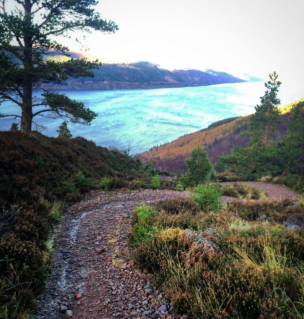
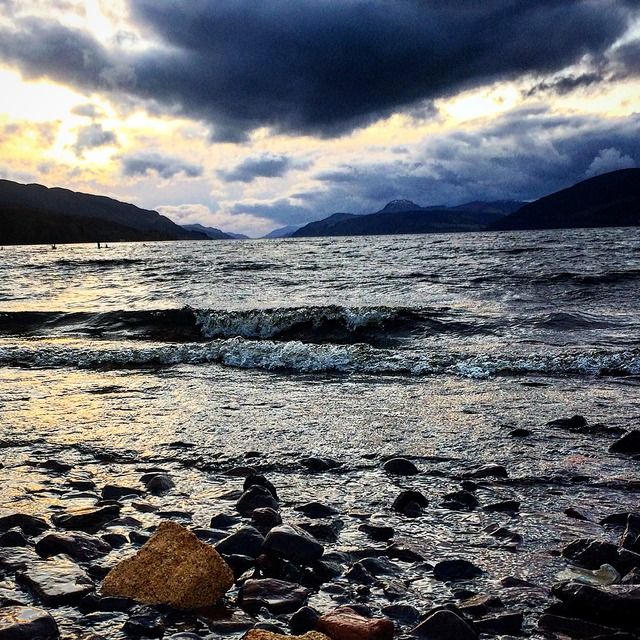
CraigWFree MemberPosted 8 years agoI cycled part of it a couple of years ago. I thought it was quite nice. Nothing too exciting, but a mixture of gravel paths and forest tracks etc, with a few bits on minor roads. Plus a few steep hills up and down. Plenty of nice scenery and good views over Loch Ness. Quite similar to the Great Glen Way, but not as busy.
Part of it is mapped on OpenStreetMap, so you could get a GPX from that. Most of it is fairly well signposted anyway. Plus you can download and print out maps from the official website, so shouldn’t be too hard to follow.
Note the route starts at Loch Tarff, so you’d have to cycle on the road for a few miles up from Fort Augustus. There is plans for a new path along this section, but I don’t think that has happened yet.
epicycloFull MemberPosted 8 years agoCraigW – Member
…Note the route starts at Loch Tarff, so you’d have to cycle on the road for a few miles up from Fort Augustus. There is plans for a new path along this section, but I don’t think that has happened yet.There wasn’t late last year when I rode over the Corrieyairack to Dores.
DavesportFull MemberPosted 8 years agoSlightly OT, Spent ages diving in Loch Oich looking for a downed Hawker Hurricane (Hurricane Z2505). Looking in the wrong place and it was later recovered by a university team from England somewhere. Parts of this still available for sale. There is however a railway carriage and extensive spoil heaps possibly from Telfords dredging activities. I need to revisit this 🙂
WaderiderFree MemberPosted 8 years agoForestry Commission are nearly finished building a timber haul road joining up multiple section of forest road here. Don’t know what affect this has, if any, but be aware mapping will not yet show these new sections.
epicycloFull MemberPosted 8 years agoA proper offroad loop round Loch Ness would be a great day ride, so the sooner all the dots get connected, the better.
krixmeisterFull MemberPosted 8 years agoThanks for replies. As @scotriutes said – road from FA to Loch Tarff still (I biked up to there yesterday), but plan tomorrow is to take advantage of this lovely weather and do a loop round Loch Ness going off-road as much as possible – South Loch Ness trail route on way out (new to me) and GGW back home. Hopefully this time, unlike last time I rode the GGW from Inverness, I won’t get lost around Abriachan – it was a miserable and scary haul down the A82 to Drummadrochit.
Will post pics of and when I survive the loop.
epicycloFull MemberPosted 8 years agokrixmeister – Member
…Will post pics of and when I survive theloopA82.Fixed it. 🙂
I’ve had more near misses on that road in 6 rides on it than I have had in an entire lifetime of cycling. I now avoid it.
Had my right elbow brushed twice, and once I had to dive into the ditch because someone decided I was invisible and they weren’t prepared to do a head on into the oncoming car i.e. kill me rather than risk their own skin..
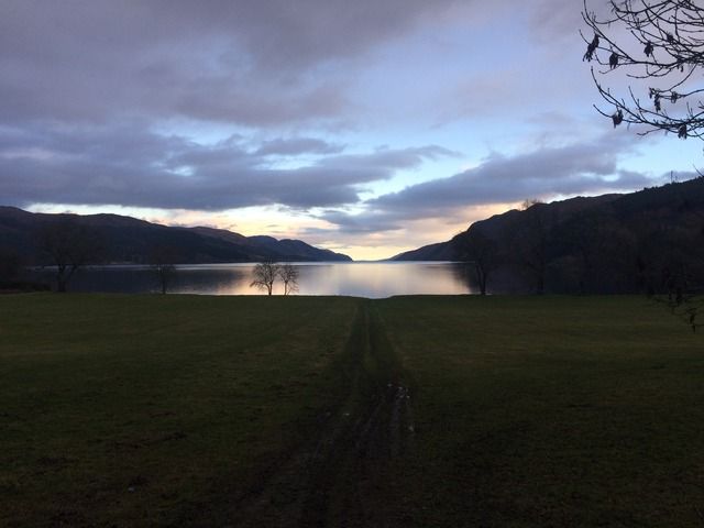
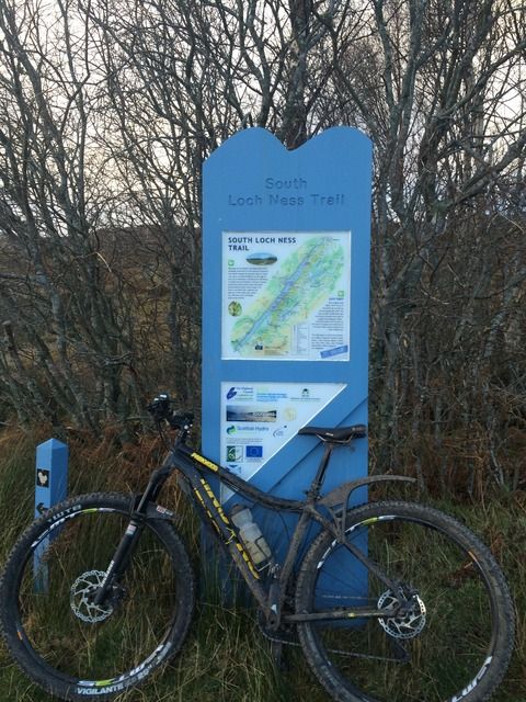
NorthCountryBoyFree MemberPosted 8 years agoHi I rode the south loch ness trail when I was in Scotland at Christmas. It’s all pretty well marked and there is a web site that shows the route pretty well.
It’s all a bit varied with a very man made start but it’s good fun if a bit straight.
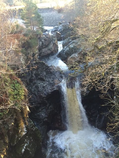
Then it takes an old ROW through some really nice country side brings you out at a great gorge.
Just along the road is Foyers.
There is a great cafe there. Good coffee scones cakes or cooked breakfast.
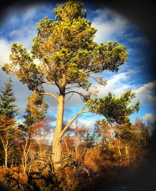
After that a climb up good fire road then some really tight single track. I really thought I was in the wrong path at one point. Then picked up another of the little blue trail marker arrows.
It was a clamber up but a good descent.
But if fire road and up a very old road called the corkscrew then a very quick descent to Dores and the fantastic Dores inn.
From there it’s cycle way or back road all the way to Inverness.
The topic ‘South Loch Ness trail – GPX?’ is closed to new replies.
