Bit of old school "open country riding with a map and compass" coming up in August - up and down Cadair Idris. Anybody done this? Comments?
1h 50 from the lake (mentioned in post four) to summit and return was my best time on foot. Not much point taking a bike though.
i did it last summer sometime.
was pretty good fun.
Many, many times
Best route is down the valley from Abergynolwyn, turn right and keep going up until you reach the top.
Be prepared for a 'big day out' and it's pretty good.
great yomp.
[img]  [/img]
Edukator - Member
1h 50 from the lake (mentioned in post four) to summit and return was my best time on foot. Not much point taking a bike though.
That's amazing for 20 miles up and down a Welsh Mountain. You must be bionic.
do you mean Llyn Cau edukator?
That picture's got me salivating already, Stoner...
Not much point taking a bike though.
I genuinely don't see the point in walking up anything that can be ridden up. I am not a fayn of walking;
[b]If God had intended for us to walk everywhere then He would not have invented the bicycle. [/b]
if you go from the chapel on the south side, you can ride almost all the way to the summit.
not that i did....... 😀
this is the view of the summit above Llyn Cau from the bottom.
[img]  [/img]
rocketman - Member
Many, many timesBest route is down the valley from Abergynolwyn, turn right and keep going up until you reach the top.
Be prepared for a 'big day out' and it's pretty good.
I did it a couple of years ago from here. It was great.
There is some very good riding around there.
Also pretty darn good over the hills to Fairbourne. These people who ride 'downhill' don't know the meaning of the word 🙂
Not riding, but one of the best days I've ever had hill-walking (30/12/2008)...
[IMG]  [/IMG]
[IMG]  [/IMG]
[IMG]  [/IMG]
[IMG]  [/IMG]
i have biked / hiked it aplenty - email me if you want any info
in a nutshell - the bridleway ascent is doable 85 % up and almost the same on the decent - its a great day
think i prefer to hike up and do an easy scramble from the lake but its still great on a bike
paul
Have you checked out the Dyfi Mountain Biking site?
They have a few different GPS route maps:
http://www.dyfimountainbiking.org.uk/Dyfi_MTB/GPS_Routes.html
The Cader one is below:
http://www.bikehike.co.uk/mapview.php?lnk=http://tastypixels.co.uk/routes/MistyMountainHop2.gpx
It might also be worth calling into The Holey Trail in Machynlleth and having a chat with Tegid for more info.
It wasn't 10 miles up and it definitely wasn't 10 miles down as I went straight down an easy gully. I was 23 at the time and was still making the top 20 of Pyrenean mountain races into my 40s. Still doubt?
"Edukator", I started this thread because I'm going to be biking up Cadair Idris from the west on the bridleway to the top via the "pony Track" and I was interested to hear from others who had done this.
At the risk of lowering the tone, and to be completely frank, as far as your last post goes, I don't really give a toss.
Go away. 😛
I did it a couple of years ago, it was ok to be fair.
[img] 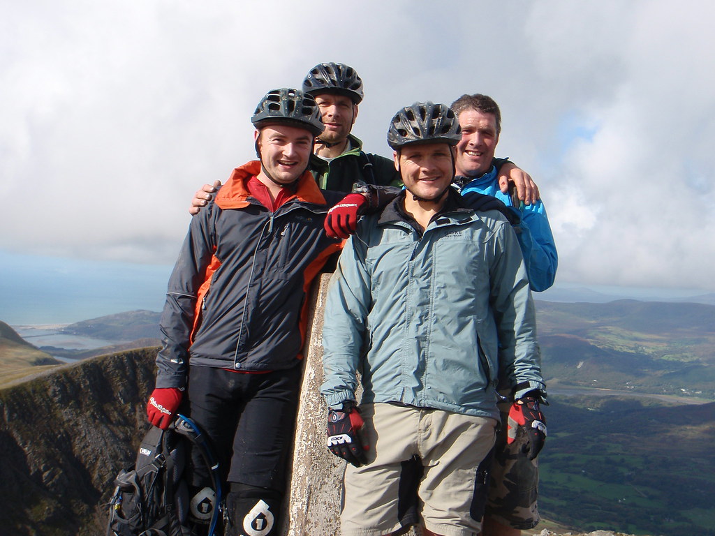 [/img]
Just don't fall in here
[img]  [/img]
Spent the night in the mountain shelter over Easter this year, stunning view of the sunset over the peninsula in the evening.
I'd take the bike tbh, the pony tracks fine.
Just look at that. Why would you want to be anywhere else, eh? 😀
i'de second that, the pony path down on a ht is awesome fun, wouldnt ride up that way though...
Bloody 'ell tony_m, I was also up there on 30/12/08
[img]  [/img]
[img]  [/img]
[img]  [/img]
[img]  [/img]
Great pics, I'm homesick now... A beautiful part of the world.
[b]Dudie[/b] - Member
Bloody 'ell tony_m, I was also up there on 30/12/08
It is indeed a small world, eh? 8)
Not much point taking a bike if you're going this way up Cadair Idris
[img]  [/img]
We're going up for some riding this time over the Bank Holiday to ride up the mountain and do some stuff around Mach and Dyfi. Can anyone recommend a campsite that we can ride straight out to the rides from?
cheers