Am I numb or what ? I cant find maps, routes etc to conect the pair of them please help me!!!
Top of the highest part of Lee Quarry where you overlook the black run, you will know it by climbing up a steep slab, its there on your left.
up the ramp at the back of the quarry, follow the red route signs and you will know it, then look for the gap in the trail on your left.
[img] 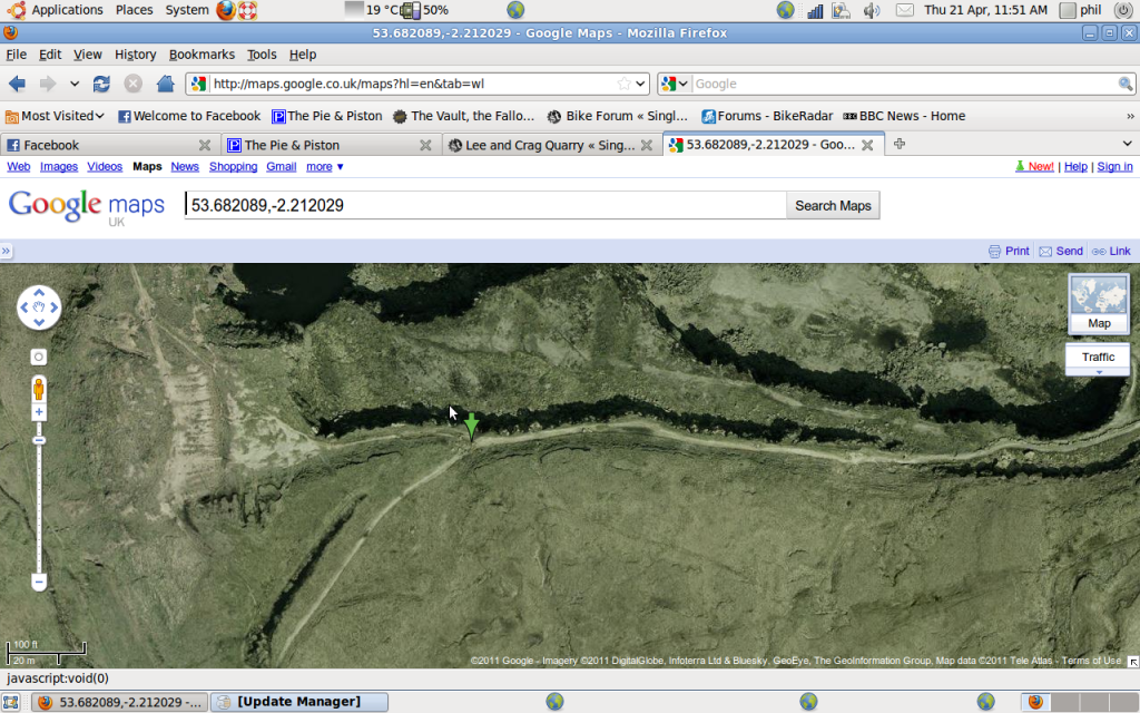 [/img]
where the green arrow is
Where does the link road end up? (bottom end) we joined it at the point lowey and phil mentioned (highest point on red run) but it carries on down the valley somewhere.
hard to describe where it comes out. it comes out after the bit where you go around in a circle on the red. you can ride down to the pump track from there.
here is my track from lee quarry and round cragg and back.
http://www.endomondo.com/workouts/sn-14w2a1zQ
That endomondo track is ace Philfive.
it makes Lee look like an ugly gremlin.
Parking at the top Phil?
lazy beggar
😉
Easiest way is to follow the air ambulance 😆
The link track comes out where the black rejoins the red.
Tony is trying to get signage in but there seems to be a blockage with the design of the of signs......(and before anyone says just copy another centre, it's not that simple, yes it should be but no it's not). Took Gisburn six months to get decent signage as well.
Thanks to everyone who contributed, with your help I found the route. The slog on the gravel track was well worth it, and the return journey with the jump rocks was fantastic!