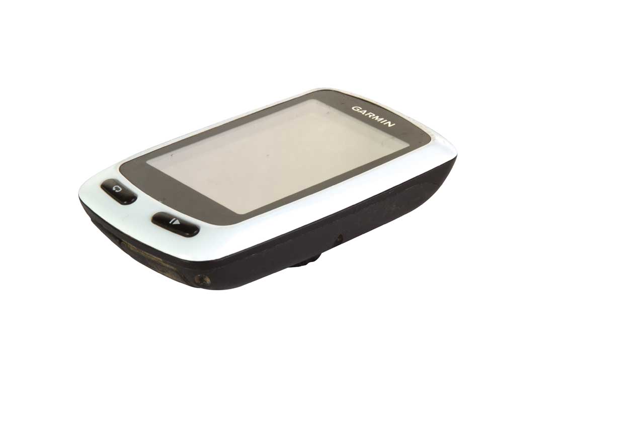
The Edge Touring is another in Garmin’s growing range of GPS-equipped bike computers. It’s cheaper than most of the other Edge models, and doesn’t have any connectivity outside of plugging into your laptop or desktop computer via USB, but it’s still proved itself remarkably useful throughout the test period.
The Edge is marketed as a navigation and recording tool for ‘going places with purpose’ – so it’s more satnav than training aid. Nonetheless, it’s an excellent way to log all your rides, as long as you can live without a heart rate function. If you want to use it for ‘proper’ training then you’ll probably want to look at the Edge Touring which, at £249.99, includes a heart rate monitor and temperature recording too.
The preloaded Garmin Cycle Map is a pleasant surprise, for this long-time Ordnance Survey addict at least. Based on Open Source Mapping (OSM), I’ve found it to show all the expected rights of way and boundaries exactly where they should be. It shows basic landscape details like woodland too and differentiates between road and off-road routes reasonably clearly. Though there’s no altitude sensor, it’s easy enough to get those stats after the event by uploading files to a mapping service like Garmin Connect or Strava. It takes a little while to get used to the way various features are displayed if you are used to looking at OS symbols, but the option to show more or less map detail is very helpful, especially in residential areas where you’re not that interested in all the houses in a cul-de-sac, just the path hidden between them…
The main plus point of OSM, though, is the cost – or rather the lack of it. A British OS 1:50k mapping bundle is available as an aftermarket add-on, but it costs a cool £199; from my experience of the OSM I’m really not sure it’s worth the eye-watering surcharge if you’re sticking to the UK rights of way network, which is well documented on the OSM mapping – it might be a different story if you want details like contours and geological features for fine, off-the-path navigation.
The Edge Touring will also do the navigation for you if required. Plot your route (or nick someone else’s) on the Garmin Connect site, upload it to the device and it will navigate you round it, either with a breadcrumb trail or with step-by-step, satnav-style directions, and to your preference of on or off-road tracks. Unlike many GPS devices you can also plot your waypoints and route directly onto the device, too – handy if you’re on a multi-day trip and aren’t lugging a computer along with you.
Problems? Like all the Garmin devices I’ve tried, battery life doesn’t live up to the claimed 17 hours, but it’s not far off, especially if you turn off all unnecessary sounds/animations, and you do get reasonable notice of impending shutdown. It also takes a little bit of fiddling to get the balance right between battery use and visibility – in bright conditions you really need to bump the brightness up, but this drains juice rapidly. Oh, and the touchscreen doesn’t work with gloved fingers unless you spit on them first, but that’s a problem that’s common to many touchscreen devices, not just Garmin’s.
Garmin has also recently revamped its web-based Connect service, adding the Garmin Express downloader which deals with connectivity and leaving the Connect pages to serve as a community and recording hub. In practice it’s still every bit as buggy and unusable as before, though, so there’s still work to do there.
Overall: A great device for those who want to dip a toe into ride recording without sacrificing an arm and a leg. Garmin’s web services need work though.
