The White Peak gets less press than the Dark Peak, but there’s still a load of good riding there, as Steve M and Dan Barham find out in the rain.
Riding the White Peak in the dark
From Issue 26
Words Steve Makin | Photos Dan Barham
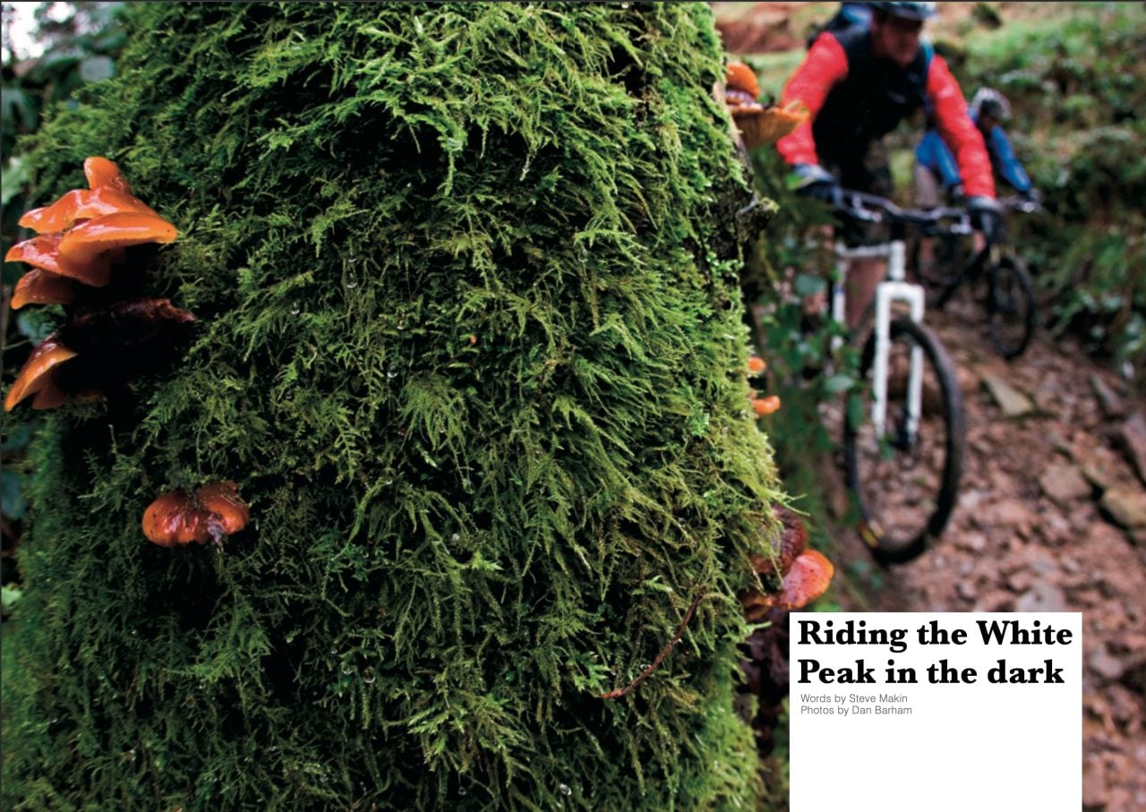
So, it’s early January and the magazine print deadline is looming, the weather is typical for this time of year, wet, grey and uninspiring and everyone at the office claims to be too busy to get out and do a route guide. Hmm…
OK, it probably is my turn, and yes I can take a couple of days off work, Dan the photographer is available, the Editor has chosen the White Peaks as a location. Although it’s only an hour’s drive from home, past experience says that the Peaks are going to be grim at this time of year so I set about the map looking for an all-weather route. An hour later I give up realising that no such thing exists here in the UK, so I might as well do something I like and get on with it.
The Karma Bank needs paying
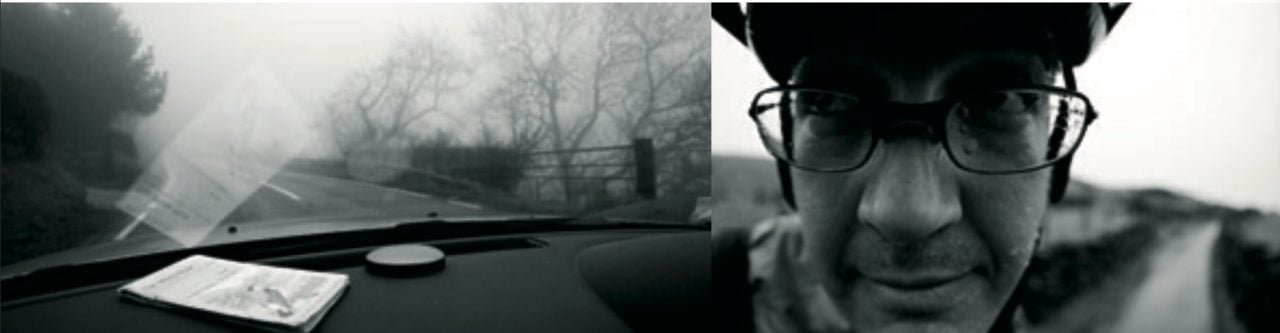
Come the day it’s dull, grey and raining cats and dogs in between the drizzle. I get to Dan’s place at 8.30am and we’re soon away through the crazy morning traffic. Billy Corgan is screaming at us from the CD player “…despite all my rage I’m still just a rat in a cage.” It seems apt. An hour and a half later and we’re pulling into the car park at Gradbach just south of Buxton. There are two other cars already parked up, walkers pulling their boots on. “Are we mad?” one of them enquires looking at us and then the flooding river. “Yup, I think so” I answer.
Dan has decided he doesn’t want to go out in the rain. I need some encouragement as well but we have a job to do and besides I’ve taken leave from work for this, I cant afford to waste it, so after a bit of cajoling we are off. Spinning up the road is a great warm up, until the first descent. In the summer this is a speedy rocky test of nerve, right now it’s a slippery, slidey, all-over-the-place battle to keep a line and not go over the bars, and it’s wet, did I say that already? However, on arriving safely at the bottom, our descent-fed smiles are soon replaced by frowns.
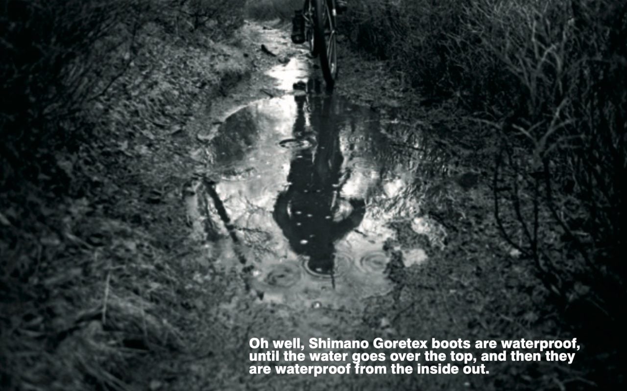
Black Brook is normally a small inconsequential water splash but right now it’s a raging torrent that looks deep. Water up to my knees prove this to be true. Oh well, Shimano Goretex boots are waterproof, until the water goes over the top, and then they are waterproof from the inside out. Merino socks do a grand job of keeping the water lukewarm too. The climb up from here is actually good fun and a combo of slow trials moves and sheer grunting power sees us both at the top without a dab between us, perfect timing for a bit of footwork up to Lud’s Church.
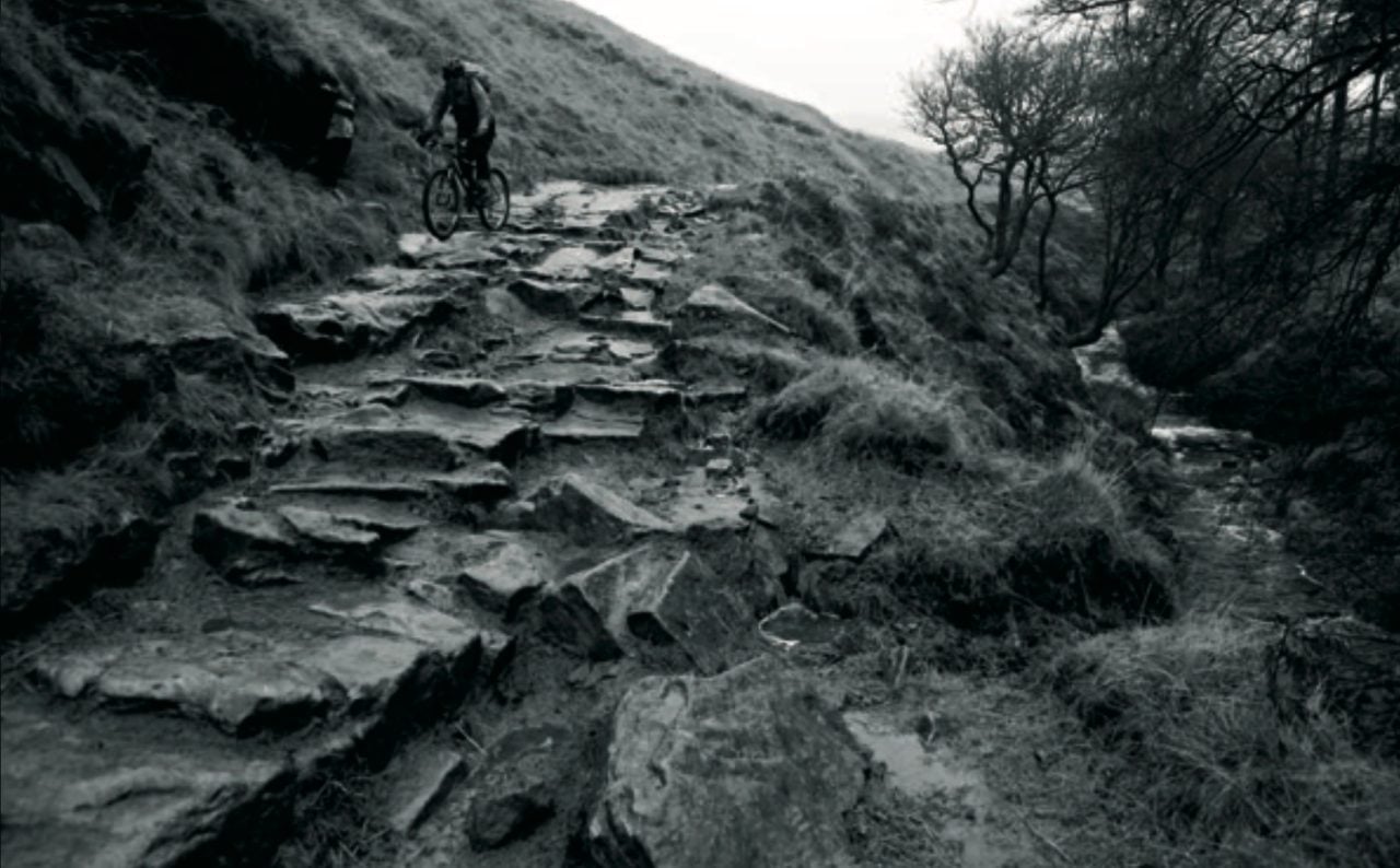
This open gorge is well worth the five minute hike up the footpath. Carved stone steps lead into a deep ravine, today shrouded in an eerie mist, and we mooch about for a few minutes, wondering what might have gone on here in the past. I have a friend who has photographed one of the fabled Peak district wallabies in here, unfortunately it was dead and must have fallen in from the top.
We take a few snaps and then head back to the bikes for the gear wrecking trudge across the moors in low cloud and wet snagging heather. By now we are as wet as we could be on our bottom halves, however Goretex is still holding up on the top half. Maybe a Crud Catcher would have been a good idea after all.
Wet dry stone walling
Another descent looms up, this time it’s doubletrack which means a little more room for those sideways swerves but just as rocky and slippy. No engorged river at the bottom though, shucks!
The next section is mostly road and it’s difficult to link up the best bits without hitting tarmac now and again. There’s little traffic around and we gently spin on, laughing to ourselves at the absurdity of what we are doing. Two blokes repairing a dry(?) stone wall peer out of the gloom at us and we can see the puzzled looks on their faces, but even though we’re soaking wet at least we aren’t having to move rocks around in this weather.
The constant spray from the back wheel is just starting to wear a bit thin by the time we arrive at Flash Bar Stores. The last 45 minutes of almost total silence have been unusual; no talking; deep in personal thoughts; just get on and do it.
The pub is open and has that orange glow in the windows that looks very inviting but we decide that we’ll never come out once we go in. A couple of Haribo sweets, some flapjack and off we go to the highlight of the day.
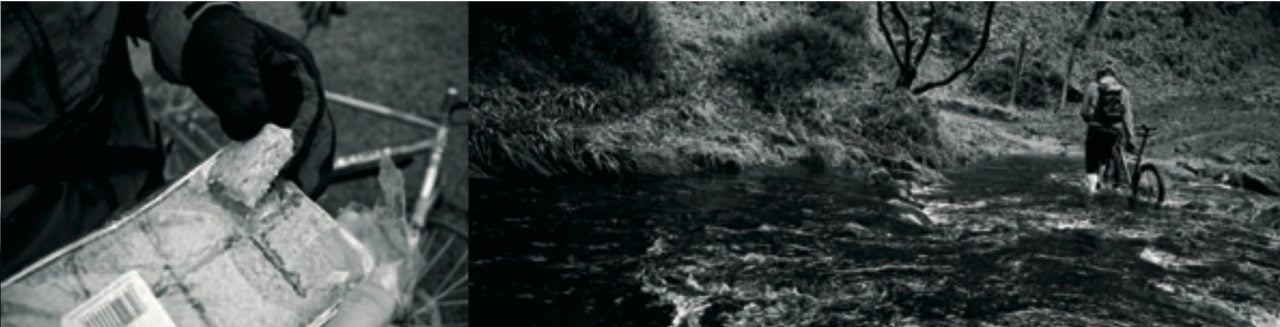
Highlight Time
The descent down to Three Shires Head starts off with a grassy doubletrack stretch lined with another dry stone wall, sketchy enough in its own when your tyres are clogged, but then round to the right the real fun starts. The odd rock amongst the grass catches you out, then the rocks become bigger and more obvious until by the time you get to the gate you’re wishing for more inches on the front and a quick injection of skill to help with the fillings. Through the gate and the next section favours the brave, the stupid and maybe the ignorant. Being neither brave nor ignorant, I’m already on the brakes and easing my way down. Fortunately I have to stop and photograph Dan against this fantastic backdrop. This is my excuse anyway as I try to clamber down the bigger steps without stumbling.
Dan arrives at the top and I can tell he’s seen the camera and he makes a brave attempt, relying on some ignorance but then gets stupid. “He’s going to clean it” I think to myself “…on a rigid bike, for God’s sake”, but the inevitable happens and he swerves across the track and clips his knee on an overhanging rock. Laughing now, and shouting, “Don’t shoot me walking”, we take stock of the situation and decide this is possibly one of the most technical descents we know. It’s not long, maybe 300-400m, but it’s certainly a challenge. Rocks the size of footballs get bigger and more pointy. The rocks are now TV sized and there’s no obvious line (well to me anyway) and with some quite large drops to the left, ending up in the river, we stop/start/ stutter all the way to the bridge at the bottom.
Skinny Dipping
In the summertime you can skinny dip in the plunge pool just below the bridge where the three shires meet (Staffordshire, Derbyshire and Cheshire). Today isn’t the day for that as we are starting to get cold so decide against heading across to Cumberland Clough- itself a classic Peaks descent.
We turn left instead and head uphill into the wind. This climb is another great fitness tester-long enough to make your legs burn and technical enough to test your slow speed balance. Today it’s a small stream, awash with brown water and a lovely contrast with the verdant green of the grass and the moss. We didn’t clean it today but decide perversely that it’s a better climb than descent. Maybe we’ve been spoiled by the cracking descents of the day.
The good stuff is now over for the day.
Another few miles of wet tarmac into the wind again. An ice cream headache apiece and we’re back at the car. The walkers are still out but we’ve disturbed a couple who soon clear off to find another empty car park.
The journey home is spent trying to get hold of Tom who is to be our guide tomorrow and praying that the weather will be the Yin to today’s Yang. God knows we’ve paid enough into the karma bank today.
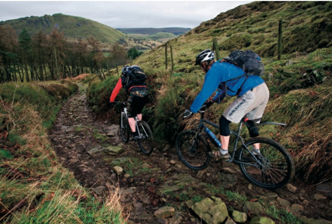
Day 2. Karma Payback. Or is it?
Sat in a car park in Longnor waiting for Tom, the smell from the fish and chip shop is overwhelming and we cave in to the temptation while we wait.
The karma bank must have had a half day yesterday because it’s still dull and grey, although it isn’t raining. Tom arrives and we quickly decide that we want more of the good stuff from yesterday; a quick check of the map and Tom reckons that Hollinsclough is to be the venue. Finding somewhere to park without getting bogged down is a challenge but one we meet with inches to spare as the local farmer tests the gap for us with his biggest tractor. As I’m pulling the bike off the roof I realise that we’ve just said we want technical drops and here am I testing a new bike that was only built last night. It’s a rigid single speed 29er. What was I thinking?
Within 100m of the car we are descending and it’s here that I also realise that brand new out-of-the-box disc brakes take some bedding
in. It’s another grassy, muddy slip/slide affair until we round the corner to be confronted by steps bigger than yesterday.
Ooooff!
By the time I pick myself up Tom is almost on top of me, quickly followed by a laughing Dan. A quick shake down reveals no real damage, though I’m sure I heard something crack when my head hit the deck.
Tom then goes ahead and gives us a masterclass in bouncing off, down, across and over fridge sized rocks. He modestly says it’s all to do with the big forks on the front of his Soul but I’m not convinced. In fact he’s enjoying it so much he’s more than happy to photo gimp for Dan’s lens over and over.
We move onto a more open area. It appears that you can join up lots and lots of these superb technical descents all over this area. The White Peak is often overlooked by the bigger more glamorous Dark Peak by visiting bikers, though of course the locals know better.
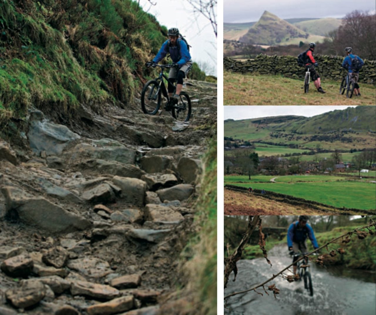
The views are magnificent with one peak in particular standing out a mile. Parkhouse Hill wouldn’t be out of place in a Lord of the Rings film. There aren’t any paths marked out on the maps to get to the top here but being access land it’s well worth the scramble to the top just for the view. Not today though as we have more riding to do.
The day tops out with more of the same, muddy pushes to the top of the trails, descents starting off gently, wet and muddy, getting rockier, becoming stream beds, all ending in big drops. Again Tom puts us to shame.
In contrast to yesterday there’s no time for inner thoughts. You need to be focused and on top of your game, even more so when you have handicapped yourself thanks to poor bike choice. The consequences of getting it wrong are only too apparent, but it’s great fun just to clean some of it, achieving small steps and drops. The bigger stuff will still be there for next time.
Back at the car we say our goodbyes and vow to come back in the summer when the trails will be dry and Tom can show us more. Only next time we’ll have suitable bikes.
On the journey home we see a fantastic sunset break out in front of us as we’re cresting the top of the Cat and Fiddle road. The karma bank must have just opened up somewhere else in the world and the Yin-Yang circle has been completed.
The Easy Route
- Distance: 17.5km
- Climbing: 1301m
- Duration: 2 hours
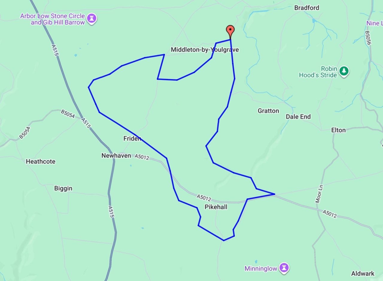
The Medium Route
- Distance: 20.5km
- Climbing: 628m
- Duration: 3 hours
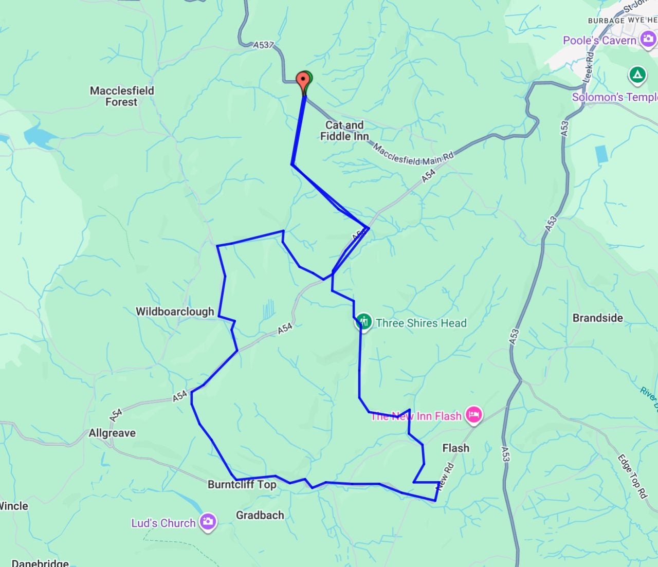
The Hard Route
- Distance: 38km
- Climbing: 1,040m
- Duration: 4-6 hours
Free newsletter
Singletrack
Weekly Word
News, reviews and riding from the Singletrack team — no spam, unsubscribe any time.


I’m slightly confused – but it was a long and tiring weekend…
Was reading the article and thinking, I should try some of this, as living on the bottom edge of the WP, I’ve never actually ridden where you are describing.
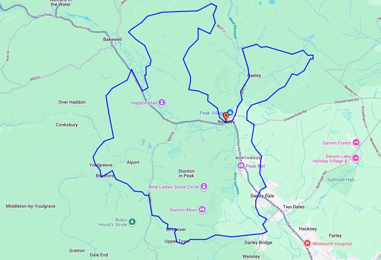
Then at the bottom, you have this loop, which is exactly where I live/ride (albeit there are much better variations), but it’s nowhere near what you have described. It does touch on parts of the actual White Peak loop though.
I’ve re-scanned the article to see if I’ve missed something, but can’t see where I’ve got confused – apologies if it’s my mistake…
I came here to say exactly the same thing. Was thinking it sounds good a bit further afield than normal, but the GPX is basically a loop I already do.
+2. Write up doesn’t match GPS
Does anyone have the definitive GPX of this loop or something similar? I wouldn’t mid trying it.
Hang on. Will investigate what’s occurred and update shortly (hopefully!)
I see you’ve done some editing on the article maps.
I don’t want to sound like a pedantic arse, so apologies – the medium route seems to somewhat resemble what your writers have ridden on day 1 (albeit it doesn’t start at Gradbach), but not sure what the easy and hard relate to, or are you just showing some typical White Peak loops?
The hard route isn’t what I’d personally describe as hard either tbh mate