Planning a route for the weekend and my V-Publishing book and a couple of routes on line show a bridal way from the south shore of Ladybower to the Roman Road. [url= http://streetmap.com/map.srf?x=417380&y=386436&z=115&sv=417380,386436&st=4&ar=y&mapp=map.srf&searchp=ids.srf&dn=789&ax=417380&ay=386436&lm=0 ]Here ish[/url].
Is it a bridal way and is it rideable, i.e. not a bog?
Also, anyone know what the conditions on Winstone Lee Tor are like at the minute?
you can ride that, bottom bit is well steep. logging routes so can be mega churned depending on what's been happening. WLT will be ok now its April I think. Only really bad middle of winter.
Rode that area at the weekend and it has been very badly churned up by logging, just about rideable but very muddy.
Worth noting that the route over the top of the hill from the arrow you have marked on the map directly to the roman road is a FP not a BW
[i]"Worth noting that the route over the top of the hill from the arrow you have marked on the map directly to the roman road is a FP not a BW"[/i]
but in general the landowner encourages walking and cycling in the area and the lower section of the route is a permissive bridleway so I'm sure the landowner is quite happy to grant access that is more than the minimum legal? 🙂
for local trail conditions check here
[url= http://www.twitter.com/KoftheP ]http://www.twitter.com/KoftheP[/url]
that BW is a permissive one, not on the map & specifically mentioned on the kofthep site
It's a few weeks since I was last up there, but one side of that bridleway has been widened and turned into a morass for logging, and the other side is a flat bog for what feels like a couple of miles - probably less than half a mile, but still moderately unpleasant.
The path was drying up on Sunday and was rideable just. Seems to have got steeper since the logging.
Dry all this week so far so I would say that it would be a good link up to the RR this weekend.
The BW down is a bit gloopy as are sections of the Hope Brink.....will take a while for these to dry up.
WLT will surely be a good route to avoid if you have trail survival in your DNA......
WLT would be a poor choice at this time of year.
WLT will be ok now its April I think. Only really bad middle of winter
is April heavy rain different from winter heavy rain?
I had a feeling that maybe the case with WLT and the route to the Roman Road.
So with that in mind, anyone care to recommended a route 15-20miles starting at Fairholmes?
Gonna be mud wherever you go.....its just about minimising it.
I would start in Hope.....but if from Fairholmes:
Up to Hagg Farm from car park just up from main FH car park
Down Hagg decent across to that BW you mentioned
Up that BW you mentioned
Down to Roman Road
Up to Hope Cross
Across and then down Potatoe Alley
Up lockerbrook farm climb
Down screaming.....
Done.
If not enough then would be tempted to fly down the roman road into hope then climb back up it.
Fairhomes, permissive to lockerbrook, down hagg, along 57, up potato, down jaggers, pint, up jaggers, down beast, up rowlee, along lockerbrook, down gores, fairhomes... Or similar
The route up to and down from WLT was OK a couple of weeks ago, better than I expected
[img] 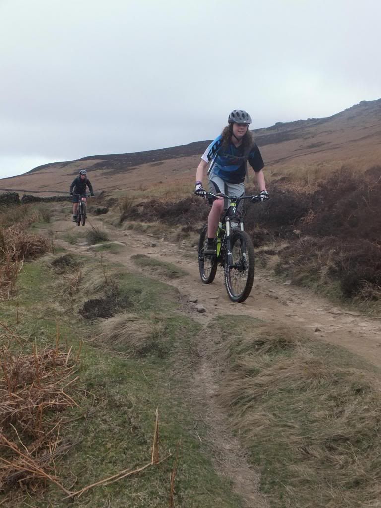 [/img]
[img] 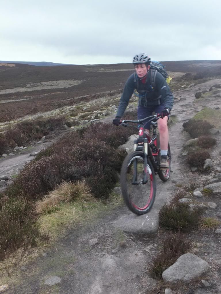 [/img]
[img] 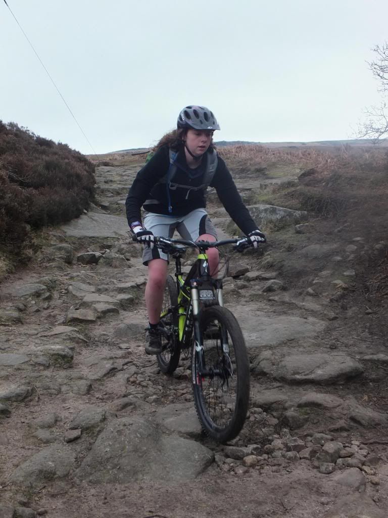 [/img]
It's leathered it down since then, flooded roads & the lot
WLT is a mess so please avoid
Ahh bum, I was hoping to go over WLT.
Oh well, I'm sure I can come up with something. Whats the climb from Aston to Win Hill like at the minute?
While you guys & girls with route knowledge are offering advice, can anyone tell me the name of the decent at the very top of the route that brings you down to derwent water?
[img]  [/img]
The descent from Hagg Farm down to Derwent Reservoir is Lockerbrook
Gores or Gores farm descent.
How do I get onto the permissive up to Lockerbrook?
I've been volunteered to lead a bimble on Easter weekend. Podge's route looks fine and dandy, if I can get us onto that permissive.
Come out of fairhomes, turn right, past the dam wall and it's your first left, I think it's directly after the cattle grid but it's too early for me to remember correctly. It's a big old fire road so it's pretty obvious.
There is a track between the bottom of the beast and the bottom of potato that cuts out the 57 but last time I was on it there was a tree down and it was a near impassible bog so I'd stay clear.
The dh at the top of the map is gores but it's also called screaming mile by some
Thanks Podge, I'll have a look for it.
Found it this afternoon, thanks again.
A plan for Saturday morning was also hatched, involving Langsett, Cutgate, Fairholmes, Lockerbrook, Gores and back to Langsett.
That'll be enough for me.
I was thinking the same for Saturday chipster !!! 8)
Early doors, to beat as many Redsocks as poss.
Time you riding? I'll keep eyes peeled
8. I'll be the fat, old slow one.
If you see a scouser on a green orange 5 it's me 🙂
And I'll be talking bolx with uncle chipster
And I will be cursing you Chip all the way round ya C**t( started already) 😈
