Does anyone have a good route for a ride round the above? I don't have memory map/gps stuff but could print a jpg etc.
Please and thank you
🙂
if you find one can i come please ? 😯
let me go and dig around in my special cupboard ,seem to remember doing a ride round there many moons ago .be back in a while.
Ah thanks OF! And of course you can come too.
Hi, I would be interested in any routes around that area as well. Thanks in advance
I'd be interested to see OFs route too! Don't have one saved as a jpeg myself but plenty of options - hopefully his 'll include a climb up on to White Sheet Hill / round the Deverills / past the Glider Club?
[img] 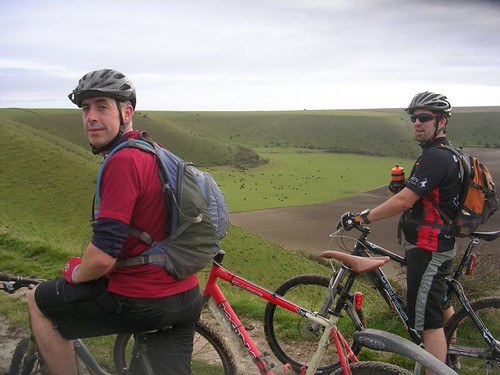 [/img]
Here's the map of the routes around the Estate, you're [i]supposed[/i] to obtain a permit..
http://www.stourhead.com/map.htm
its not a million miles from me either, i would be interested in that map too, in gpx format as well if you have, i could probably then create a jpg.
well have just emerged from special cupboard .god that turns the clock back .routes from mbr mbuk etc etc pics of bikes with cantis on !!! so none of yer new fangled stuff .got a tattered os map with alfreds tower on.seem to remember riding through the woods there again years ago .could cobble something together but i've got a better idea.if you can get the attention of thurman murman he's an expert around there .been riding around longleat with him before though not in with the lions !!!he's more modern than me so should be able to sort it.another option is chipps as he does a ride from alfreds tower every boxing day .
so there we have it another stw ride anna versus alfred !!!!!
Anna - there is a route in the Rough Ride Guide South West edition. Can't do jpeg but can do gpx (oooh get me). Otherwise can e-mail you details 🙂
Here you go:
27.2 miles with 940 metres of ascent. Start from Mere.
Head north across A303 on minor road leading to b/w then turn L at t-junc for White Sheet Hill. Exit car park and straight over on b/w towards Kilmington Common. Straight across onto minor road that leads to Alfred's Tower.
Head NE through King's Wood Warren until minor road, turn R then L onto b/w eventually coming out on minor road at Gare HIll. Turn R onto b/w heading NE to B3092.
Straight across onto minor road into Horningsham then take b/W on R in a S direction then E. At minor road turn L and R onto b/W heading S through Bidcombe Hill/Whitecliff Down.
Head SW through Bushcombe Bottom leading to Kingston Deverill B3095. Turn L towards Monkton Deverill then R onto b/w heading S to meet A303. Turn R for short distance then R on byway to Mere down/B3095. Straight over, this heads to White Sheet Hill where you were earlier.
Hope this make sense but can be more specific, let me know.
If anyone wants a gpx, let me know.
Interested in this too. How far is the RRG route CG?
right then WHEN WHEN WHEN !!!!!!!!!!!!! (oops sorry got a bit carried away then !)
If it's anything like Great Ridge, just to the east along the 303, it will be a shitfest tho 🙁
Rich - 27.2 miles and says it's a chalky area, luverley 🙂 Also some grassy sections and a fair bit of climbing. There is a 10 mile shortcut.
I'm really into Wiltshire exploring so I'm up for this (once germs have gone and some sort of fitness has returned). Needs to be a dry day though.
oh yeah i remeber now .chalk in the wet is not only lethal but it doesn't do alot for your bike neither . 🙁
The main track through Great Ridge is OK from what I remember. But that's chalky too isn't it?
Silly me, I've just realised that there are 2 White Sheet Hills 😳
Thanks all. CG there's only one WSH round Alfred's tower though I think...?
The other one I know of climbs from the A30 to the Shaston drove road. It's a b*gger to cycle up but do-able 🙂
