Anyone got a good ladybower route with some nice singletrack? I'm off riding there tomorrow and would normally start in Hope, up to Hope cross, down potato alley, down Hagg farm then up the beast (walking most of it) then down to clough farm before heading to the pub.
I remember from a ride a few years back a lovely piece of single track that we rode after potato alley and we had crossed the A57 which brought you down to one of the reservoirs (Derwent or Ladybower).
Anyone know this and can point it out on an OS map? or anyone got a nice loop from this area taking in the singletrack about 20km / 30km long?
look for lockerbrook farm (nr hagg farm) and follow the BW north. Lovely bit of trail for you. was riding up there tonight...it's almost bone dry!
potato alley - over a57 and up past rowlee farm - lockerbrook - BW north towards derwent/howden.
Cool, I can see where you mean, had a feeling it was that one but wasn't sure. How would you suggest getting back to hope from there to maximise the enjoyment?
bump...
from lockerbrook - down to fairholmes, up the slabs to whinston lee tor and down to the ladybower in via cut throat bridge IF its dried out, down the side of ladybower to teh dam wall, right at the far end until you meet the steep concessionary bridleway on your left (goes back over your shoulder) up to the gate and then through the woods to hope brink, down to hope cross and left down the roman rd into hope !
got it as a gpx if you want - upload onto bikehike to see
bushwacked, get rob to lead you round? you 2 would get on like a house on fire #fact
For a shorter way back from Fairholmes go up the car way out and cross the road, through the gate and *walk* up the graded path with 1 steeper narrower section and then *walk* up the fireroad to top of Lockerbrook and then down Hagg, push up Beastlet FP to Hope Cross.
or even better than that, from the bottom of lockerbrook head towards fairholmes keeping an eye out for a fireroad and gate off to the right at 1 o'clock. That'll take you all the way back up to the farm on a nice smooth climb - and give you hagg farm as a descent!
Whinstone Lee Torr will be awful still, there's just been too much rain for it to have dried in a week. This kind of builds on Pooks suggestion
Down Potato alley
http://www.streetmap.co.uk/map.srf?X=415515&Y=388345&A=Y&Z=120
UP the concrete switchbacks
http://www.streetmap.co.uk/map.srf?X=415445&Y=389375&A=Y&Z=120
Lockerbrook descent
http://www.streetmap.co.uk/map.srf?X=416670&Y=390060&A=Y&Z=120
Follow the road down the side of the reservoir till you get to a car park on the left - follow the bridleway up the side
http://www.streetmap.co.uk/map.srf?X=417620&Y=388355&A=Y&Z=120
Turn right along the ridge
http://www.streetmap.co.uk/map.srf?X=417550&Y=387935&A=Y&Z=120
Back down to A57
http://www.streetmap.co.uk/map.srf?X=417945&Y=387100&A=Y&Z=120
Cross the river (Signposted as bridleway)
http://www.streetmap.co.uk/map.srf?X=416400&Y=387830&A=Y&Z=120
UP the forestry track (as mentioned by Rob)
http://www.streetmap.co.uk/map.srf?X=417395&Y=386455&A=Y&Z=120
Signposted as footpath on the ground but fine for bikes to ride up (yes I've checked with the rangers)
Brings you out opposite the Hope Brink descent to Aston - that's great, as is the descent on the Roman Road that Rob suggests.
jules - apart from a few hub suckers you'd be amazed at WLT. In fact, I'd say hope brink is wetter!
jules - apart from a few hub suckers you'd be amazed at WLT
Many thanks for the suggestions... Looks like a plan coming together.
Thinking this... (if I've read things right)
[img] 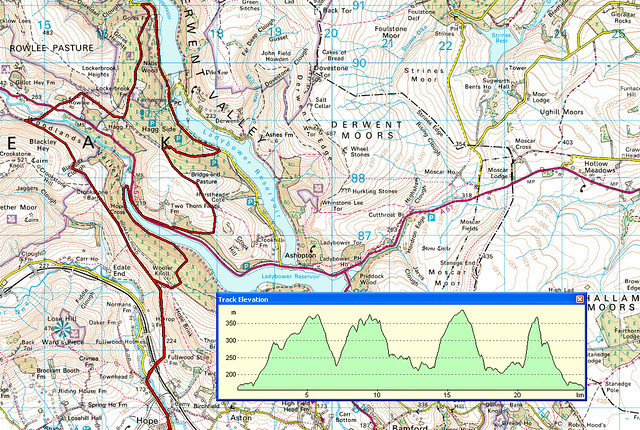 [/img]
About the right distance for an unfit ****er like me 🙂
Rob - if you've about tonight then happy to hook up, in fact that goes for anyone out there.
I did this 2 weeks ago, it was fairly dry then but not sure what it would be like now...
http://www.allthegearnoidea.net/routes/ladybower.html
I rode Mam Tor yesterday and that was dry
We did a figur of eight from Ladybower Inn on Sunday. Going down to Cut throat bridge was still a mess
[img] 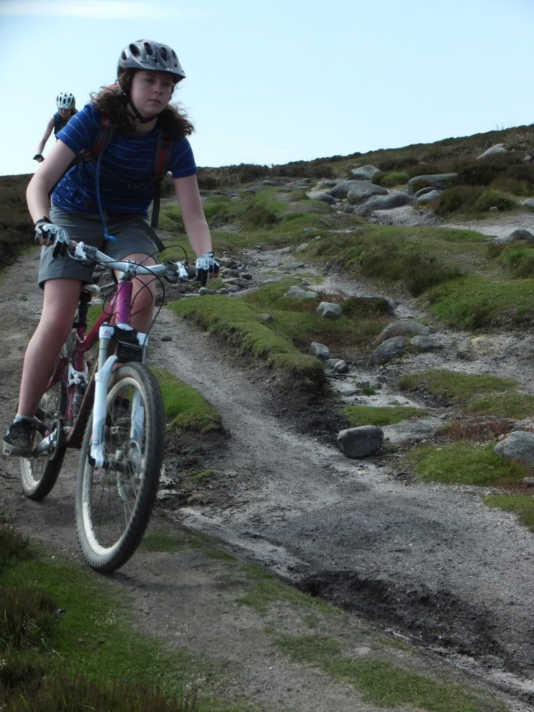 ?t=1342988715[/img]
[img] 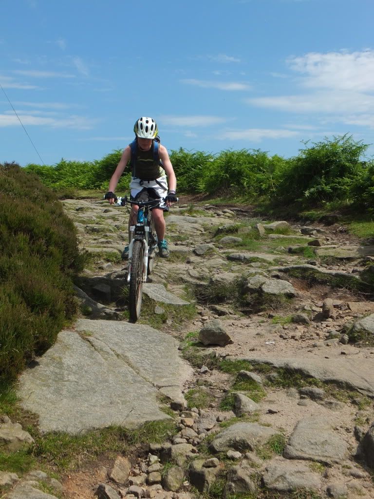 ?t=1342990041[/img]
Is this ridable from the stream after the slabs upwards
[img] 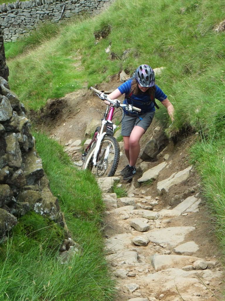 ?t=1342988401[/img]
Some more here
[url] http://s1133.photobucket.com/albums/m588/traceylawton1/Biking/Above%20Ladybower/#!cpZZ1QQtppZZ16 [/url]
WLT to Cut-throat Bridge was a bit of a schlep 2 weeks ago, but having been over Cut Gate this weekend and seen how quickly the peaty sections there have dried out, I imagine it'll be much better now...
Speaking of Hagg Farm though, just seen a copy of the MBR "Ultimate Ride Guide" and their route advertising the best of the Dark Peak takes you UP Hagg Farm switchbacks and DOWN past Rowlee. FFS, are they stupid? (Rhetorical question BTW - I know the answer to that one...)
Hows the top of Cut Gate. Looking to doing it this weekend.
Damn - meeting has been cancelled at the last moment, so will have to save this for next time. 🙁
Well considering it took us 5 1/2 hours from Langsett (through no fault of my own - too much time laughing at our less experienced mate who likes to whinge and also enjoying the views and bacon butties at Fairholmes), in that time I was surprised how quickly, and how much of, the route dried out between going over and coming back. The stretch up from North America to Missenden Edge was pretty soggy and hard going, don't know how that'll be, even with the current dry weather, but the rest should be absolutely fine.
Not much dryer than the week before then
[img] 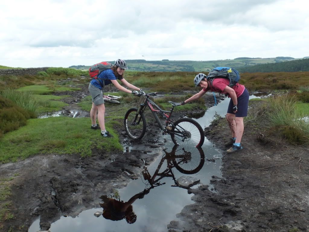 [/img]
Assuming you're going clockwise, go from the big k to hagg farm then down the hill, its a much better track than the one highlighted in the map above and leads you to the bottom of the beast / top of the dam much quicker
Oh and I very much think North America and WLT will soon be bumped to the top of the resurfacing list, both have degraded shockingly in the last two years
Bushwacked email me and we will sort something
