Olly thinks we’re overlooking a great trail network, and the perfect remote brew spot.
Words & Photography Olly Townsend

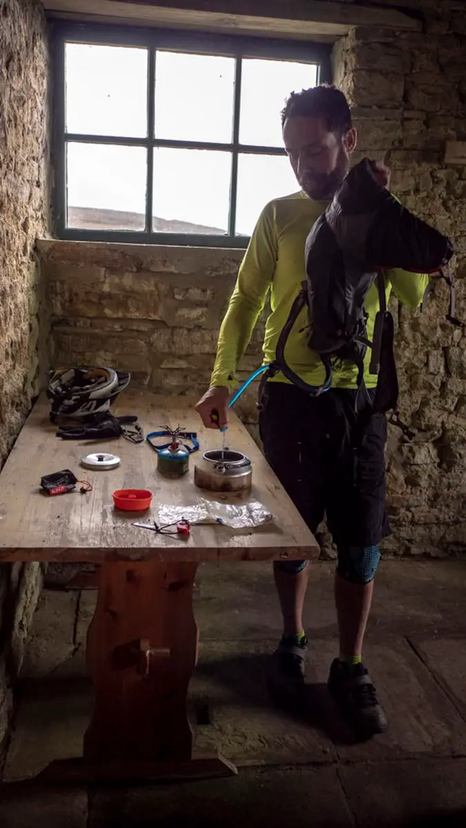
“I ground the beans fresh this morning,” said Kevin, opening a small ziplock bag and pouring a carefully measured dose into his portable cafetière and setting it on top of his gas stove. A backlit jet of steam was rising vertically from Clive’s stove, signalling that his lunchtime brew was almost ready. Dom, over in the corner near the window, had set out his tea making apparatus neatly on a small table and was busy brewing up his perfect cuppa too.
It’s often said that you can judge a mountain biker by the type of bike they’re riding, or their choice of clothing or even what kind of helmet they’re wearing. But I think you can make a more informed opinion of your riding buddies by looking at what they’ve chosen to bring in their packs to make the lunch stop better. The fact that three of my group had decided to pack stoves and a brew kit with them said a lot about their attitude to riding – make it as fun, sociable and civilised as you can!
Not grousing.
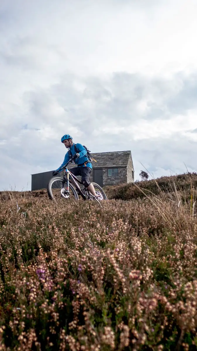
Our lunch venue of choice was a small bothy high up on the Northumberland moors. The moors in this area are pretty wild, with very little in the way of shelter if the weather isn’t playing ball. Finding the nearest café or pub means losing a lot of height and heading to the valley bottom. Luckily, the local grouse shooting community has created a series of small bothies and these are kept unlocked so that other users of the moors can access them in times of need. Like when you need a table to lay out your brew kit. They’re not exactly palatial, but they’re dry, reasonably warm and designed for outdoor users – no one will bat an eyelid if you come in cold, dripping wet or muddy (although you are expected to leave it in decent condition when you head out). On the day of our visit, we had the bothy to ourselves and after a long, hot summer, the trails were mainly hardpacked and running fast, so we didn’t leave muddy bumprints or drip trail juice all over the floor.

Most mountain bikers would claim their home trails to be the best there is and I’m no different. This part of the UK is liberally coated with a spider’s web of ancient bridleways and byways, most of which we have some interesting geology and the industrial revolution to thank for. The geology of the region is rich in coal, iron ore, lead, silver and more esoteric minerals such as galena, fluorite and quartz. What the hell does this have to with mountain biking, I hear you ask? Well, because these minerals were in demand during the industrial revolution for their use in the heavy industry which had sprung up all along the north-east coast of the UK. To get materials in and excavated minerals out, packhorse trails, tramways and cart tracks were constructed across the moors, many of which were later classified as bridleways on the definitive county maps of the area.
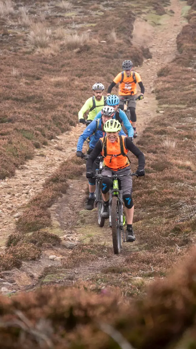
The route that I had chosen for the ride incorporated quite a bit of this ancient history. We started in the small village of Edmundbyers. This tiny, remote settlement has pretty much everything a visiting mountain biker would look for – two pubs, a small shop/café, a hostel and a sewage works. What it doesn’t have though is a designated parking area, so we followed the example of the locals and parked on the main road next to the village green. The route starts gently enough to allow legs (and brains) to warm up in a reasonably friendly manner. The first climb is mainly hardpacked and varies from vehicle width gravel trail to braided moorland singletrack, where parallel lines promote competition to find the smoothest line.
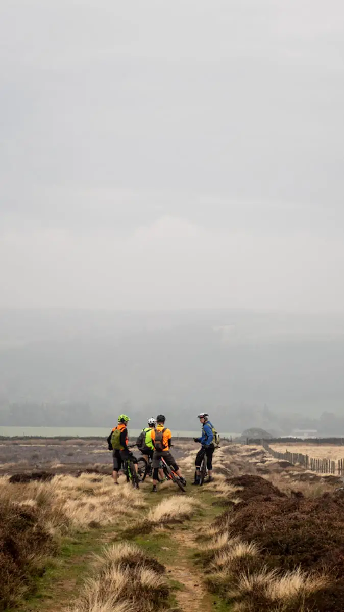
Trust me, there’s a view.
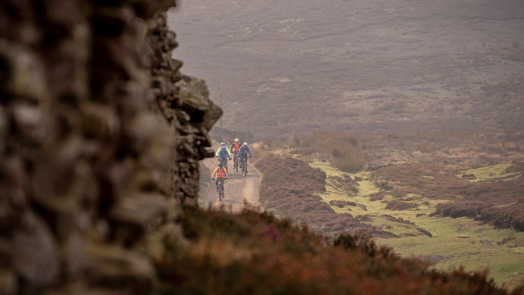
As the climb tops out onto Buckshot Fell you’d normally have amazing views over the moors and hills that make up the Northumberland and County Durham border, but I’d brilliantly planned to do the ride on the dullest, greyest day known to man, so you’ll just have to take my word for it. Luckily the next section of trail makes up somewhat for the lack of view – a fast, floaty 4×4 track heads off the top of the moors and down towards Blanchland, where The White Monk tea room stands with metaphorical arms open to give you a big welcoming hug and a healthy wodge of carrot cake. The descent, albeit not that technical, has claimed quite a few victims of the puncture fairies in the past – it gets progressively rockier around the halfway point, but by the time you notice you’re normally going warp speed. The lowest section is on grass and there’s a half-sunken trail which winds its way across a field – with the grass slightly damp and liberally coated in sheep droppings, this made for quite entertaining riding.
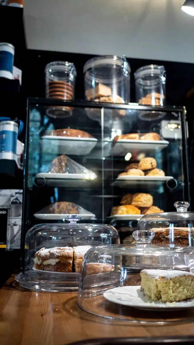
The tea stop comes pretty soon into the ride and if we’re being honest, we hadn’t entirely earned our calories by then, but the majority of the ride is pretty wild and remote, with nothing else in the way of baked comestibles to be found before you finish, so my advice is to call in. They’re totally used to cyclists’ demands and do a great roaring wood burning stove and hot soup combo in the winter. Unfortunately, the fact that the tea room is situated at the bottom of the valley means a climb straight away, and with stomachs full of cake, climbing is never fun. Luckily this one starts fairly gently and initially on tarmac, but it does ramp up somewhat as it climbs higher and turns off-road.
Pick your poison.
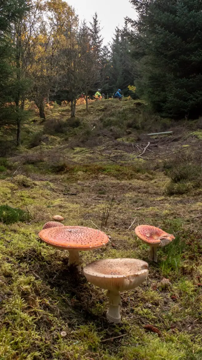
Locals, or riders in the know, will often try to plan their ride in this area based on wind direction. The reason for this becomes obvious when you reach the top of the climb. The route now takes you on a fast, sandy 4×4 track across the moor and then down into Slaley Forest. On the day we did the route, we had a tailwind across the moor, which meant elbow to elbow racing, spinning out gears and big grins. As we reached the edge of Slaley Forest, we had a quick discussion about which route to take – between May and September two-wheeled vehicles can turn left before the forest and take a permissive route along the edge of the trees. After September, this track is off limits, so you have to head into the forest and then take a fire road instead. Being good, upstanding members of the mountain biking community, we obviously took the legal option and benefitted from spotting a large area of fly agaric mushrooms, just off the side of the trail. Cue a strange conversation about just how poisonous is ‘poisonous’ and what would happen if you just gave one a small lick to test it, etc., (don’t try this at home, kids).
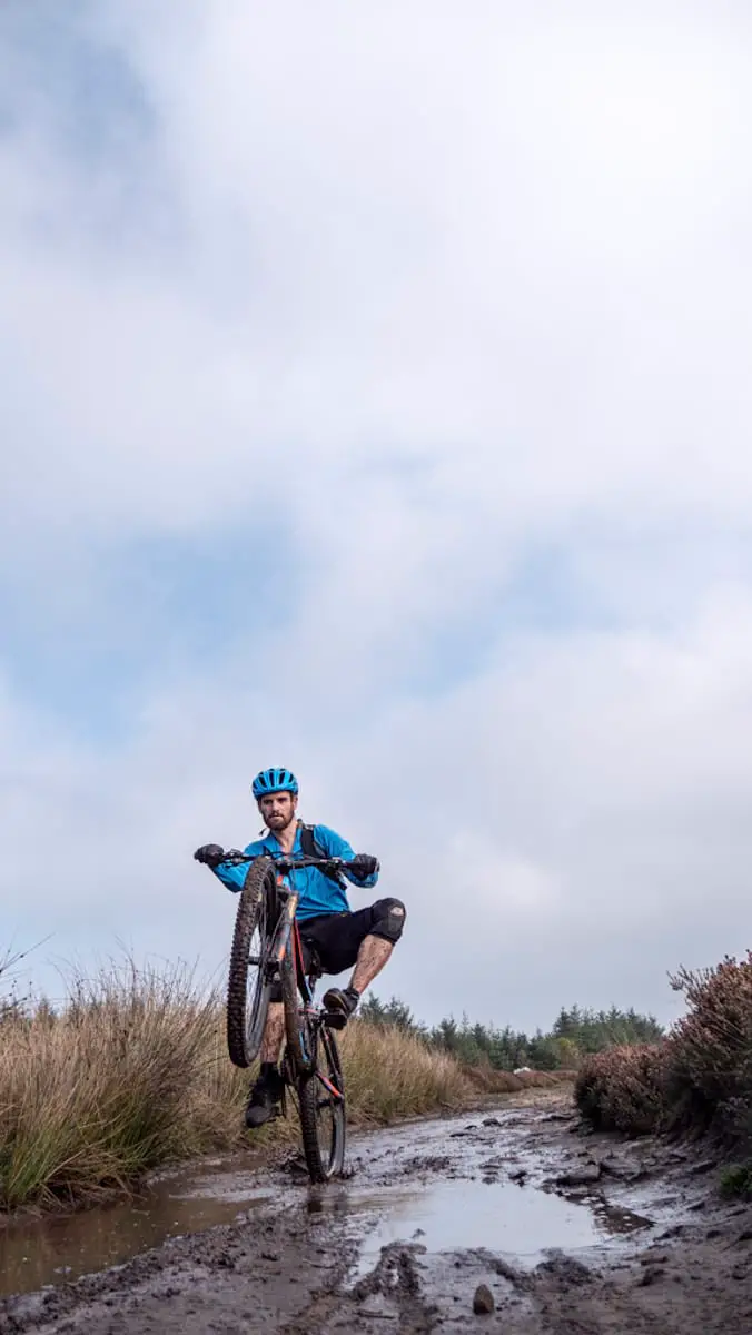
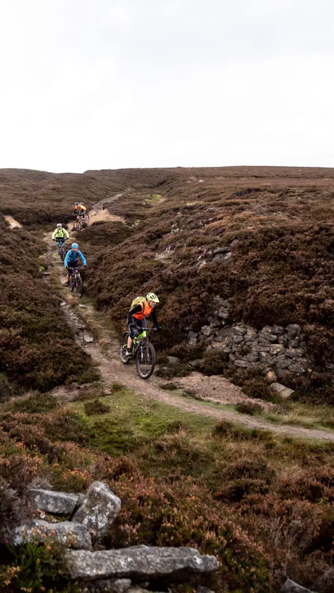
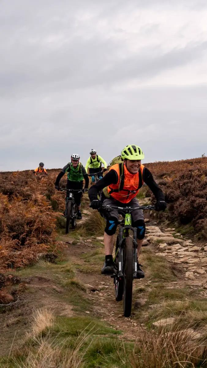
As you reach the edge of the Slaley Forest plantation, one of the riding highlights of the day looms on the horizon – the Carriers Way. This ancient packhorse trail cuts its way south-west across the moors and is one of the finest sections of legal singletrack that I know. In total it’s around 3km and contains everything from super smooth to screaming fast, to a technical rocky gully to a section of whoop-de-doos through a series of small streams. As with the flat, grey light, we’d not done our pre-ride planning quite carefully enough, so rode all of this section into a headwind, which made it somewhat harder work than normal, but even so, the trail still delivered that moorland riding buzz.
Our bothy was located at the end of the Carriers Way bridleway. Some bizarre historical anomaly means the bridleway runs to the front door of the bothy but not beyond, so you have to retrace your steps slightly to regain the legal route here. We’re not going to mention the padlocked gate across the bridleway just before the bothy – maybe horse riders here are expected to carry their horses over the adjacent stile as we did? After lunch, we hit the trail again. The first section can be quite boggy, depending on the time of year, but we were lucky and it was firm under wheel. The trail improves and speeds up as you reach the edge of the moor and then turns into a screamingly fast (but narrow, twisty and gravel covered) tarmac track down to the bottom of the valley again.

One tree hill.
If you look at the route profile, it’s made up of three distinct hills and the climb up the final one starts at the bottom of the tarmac descent. The first section isn’t that lovely on the legs but as you get higher the gradient lessens and the views improve, which makes the pain somewhat more bearable. At the top of the tarmac, the route heads off-road again and turns into singletrack that climbs gently up a ridgeline towards the trig point on top of Bolts Law and the high point of the ride at 540m. The climb is challenging enough in places to be fun – short steeper sections littered with rocks, followed by smoother narrower bits. It’s all rideable, but will certainly make you concentrate.
From the top of the climb you can see Edmundbyers way down in the distance and the good news is that the descent from there to the finish is an amazing one. Straight away the trail is narrow, challenging and pretty steep, before reducing in gradient and becoming braided and requiring plenty of ‘heads-up’ riding to find the best line. After passing the only tree on the moor, the trail gets faster and flowier, with a section of grassy 4×4 trail at the end where you can race side-by-side with your buddies in your finest dual descender stylee.

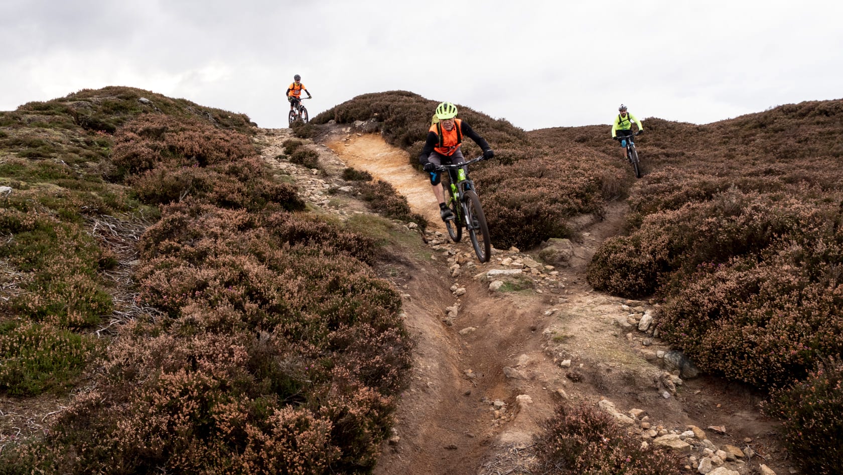
A short section of freshly laid tarmac helps you gain a bit of extra height, before turning off onto the moors and back off-road. From here you descend all the way back to Edmundbyers. The trail is split into sections divided by small gates. First narrow, heather-bound and rocky, then crazy fast, smooth 4×4, then singletrack across grass moorland, then braided singletrack with choices of smooth or rocky lines and finally back to hardpacked 4×4 trail with bedrock sections forming the perfect kickers to boost your wheels off the floor. In total the descent is around 7km and you lose around 300m in elevation. The constantly changing trail type and surface mean it feels significantly longer, more challenging and most importantly, funnerer than the stats alone would suggest.
Why bother?
Big chunks of the north-east of the UK just aren’t on most mountain bikers’ trail radars. The big, shiny mountains of the Lakes or the trail centre riding of the Borders seems to be a bigger draw, which is a real shame. If you’re looking for super-fun, flowy, legal moorland riding, which is rideable year-round, then the border of County Durham and Northumberland should be on your list. Yes, it’s pretty far from where most people live, but the remoteness and the wildness are part of the attraction, I think. This route isn’t mega-technical and it’s not one of those rides where you can barely stand by the time you finish.
This route could well be the Goldilocks of north-eastern riding – just the right length for most people, challenging enough without breaking you, perfectly sweetened with a dollop of cakey goodness, and with a generous sprinkling of warm and spicy singletrack to give you that long-lasting mouthfeel.
The Route & Need To Know
The route is 40km with just over 800m of climbing.
GPX File & Map (Premier Members Only)
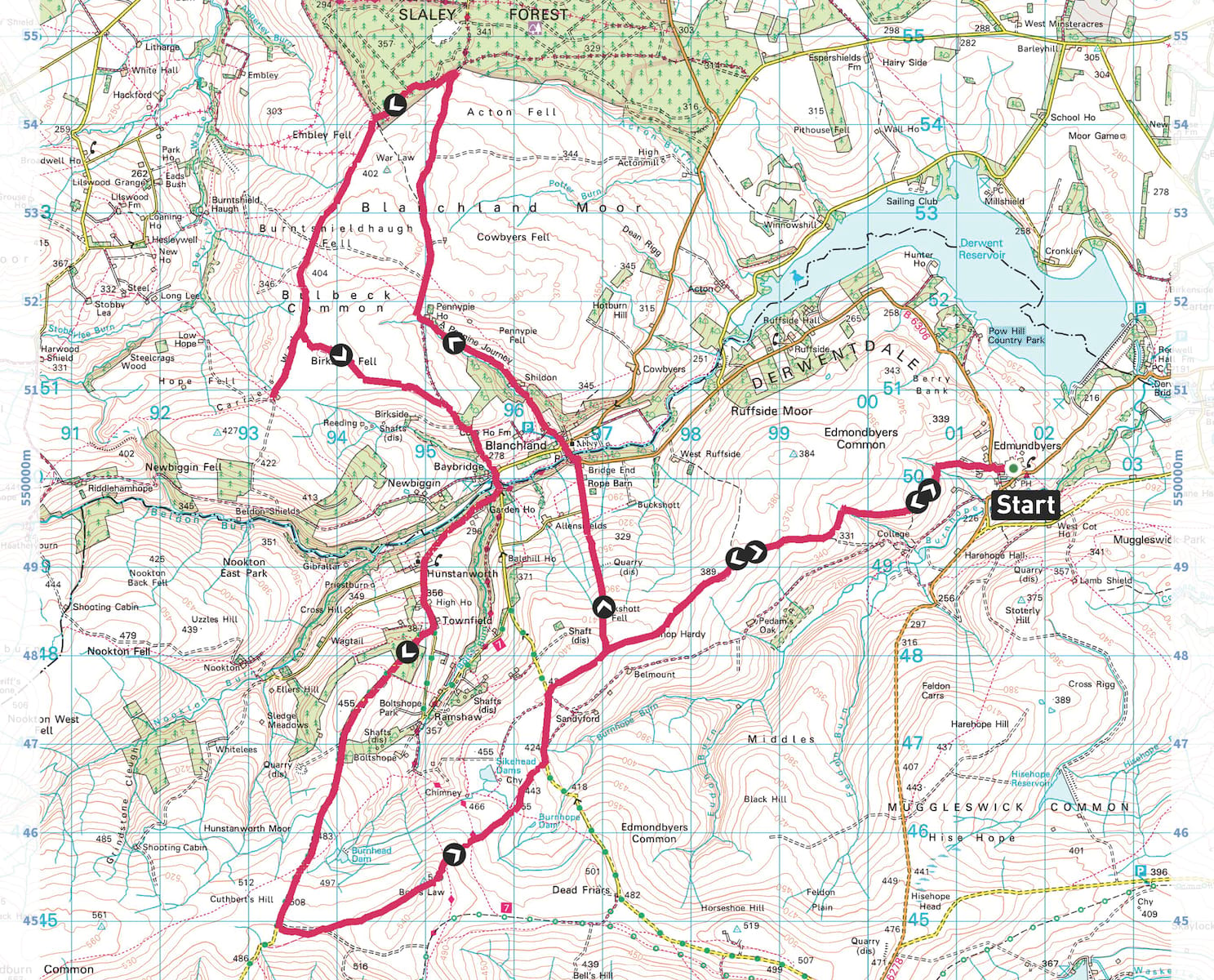
Spread over two OS maps – Explorer OL43 and Explorer 307
Parking and other bits
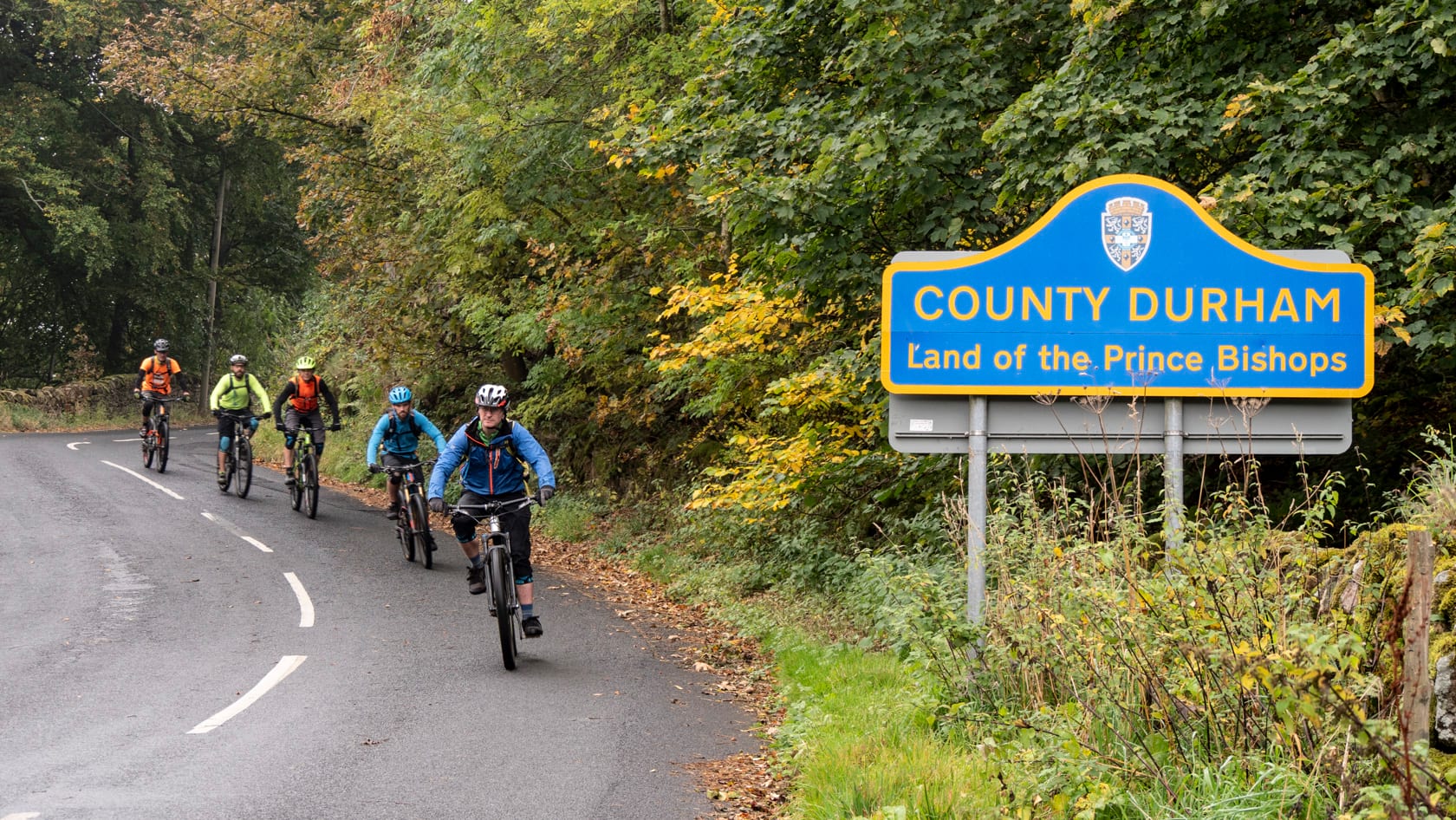
The route starts and finishes in the centre of Edmundbyers village (grid ref NZ016501), 40km south-west of Newcastle upon Tyne. There isn’t a designated car park in the village, so most people park beside the village green on the B6306, or there’s a small gravel layby to the south-west of the village on the B6278. There are public toilets in the centre of the village. Mobile signal in the area is somewhat patchy – some places you get full 4G and others you get no signal at all.
Food and drink
The Punch Bowl Inn is staggering distance from the start/finish and has a great range of locally inspired food, including daily specials. For a post-ride tipple, The Baa in the hostel gets my vote – a good range of local beers and secure bike parking.
Bike shops
The area where the ride is located is pretty wild and remote, so it’s best to bring everything with you that you might need. Having said that, if you do need any last-minute help, there are a couple of places locally that you could try. The Old Village Shop in Edmundbyers is part of the North Pennines eBike network and rents out pedal-assist hybrid and touring bikes. They have a small selection of emergency spares – tubes/puncture patch kits, etc. The nearest proper bike shop is Bits4bikes in Consett, 13km away. They offer sales and servicing. Closed Sunday and Monday.
Places to stay
For more accommodation options check out the ever growing selection of boutique pubs with rooms at our partner website Rooms On Tap
If you want to stay over and make a weekend of it, there’s plenty of choice locally. If you’re on a budget, Edmundbyers has its own Youth Hostel. If you’d like a bit more luxury, then the village also boasts the Punch Bowl Inn, which has four ‘boutique’ rooms. And if you’ve won the lottery and fancy a bit of luxury, the Lord Crewe Arms in nearby Blanchland would be the winning choice. It’s not cheap, but the accommodation and the restaurant are amazing.
Premier members gallery extra
Join our mailing list to receive Singletrack editorial wisdom directly in your inbox.
Each newsletter is headed up by an exclusive editorial from our team and includes stories and news you don’t want to miss.


















XC ride.
All climbs pretty gentle, the hardest ones are on the road.
Coming down off Birkside Fell into Baybridge, you lose a lot of altitude on tarmac, but it’s fast as you dare.
The Slaley forest edge track is a mudbath and has some big pools, I suggest going into the forest and take the fire road unless there’s been a long dry spell.