- This topic has 13 replies, 11 voices, and was last updated 2 years ago by didnthurt.
-
Route planning, Southern Scotland?
-
alanlFree MemberPosted 2 years ago
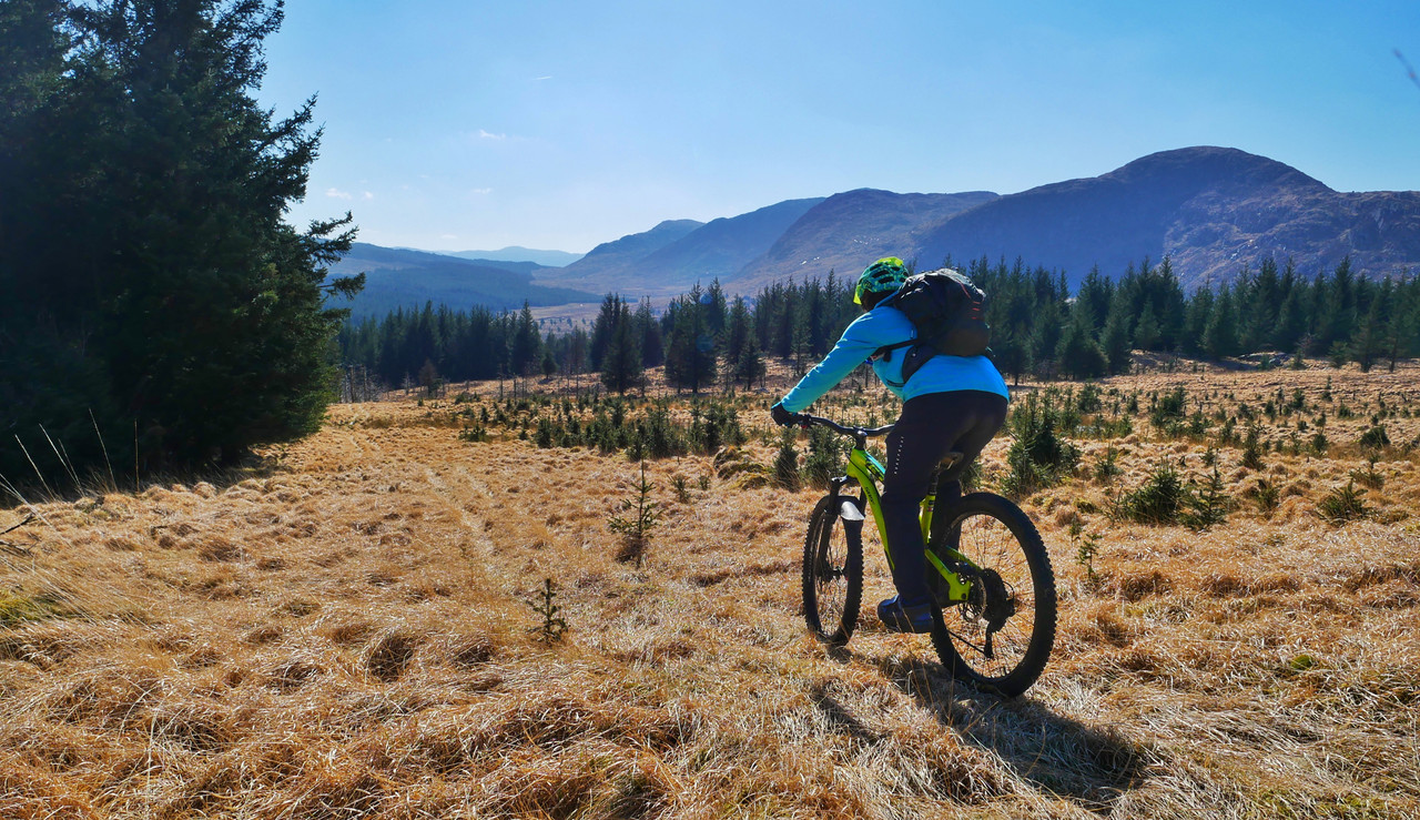
I received my OS map of Annandale last week, expecting to plan a number of routes around the area where we are hopefully moving to late this year.
Unbeknown to me, the Scottish maps do not have any by-ways/bridlepaths/trails mapped on them, a note says they are not marked due to open access all over Scotland. That’s great, but it doesnt tell you if a field is fully fenced, has a ditch etc, so going straight across fields is not going to be a good idea if they are all fenced/ hedged. (This is the farming lowlands, not the open Highlands and hill country.)
A look at the village we are going to shows very little in the way of paths/trails, even here, in the industrial Midlands, there are numerous paths/bridleways that can be linked to give a good day out.
How do you go about planning a route across country?
Preferably mostly off road.robolaFull MemberPosted 2 years agoRubbish isn’t it. You also get the opposite with things marked that don’t exist on the ground. Although the law is liberal, established routes can be limited in agricultural areas. As you say who wants to traverse the edge of fields constantly.
You could try the core paths that local authorities had to identify as part of access legislation, but many of these follow roads etc https://info.dumgal.gov.uk/mapviewers/pathsmap.aspx
matt_outandaboutFull MemberPosted 2 years agoHow do you go about planning a route across country?
You end up aiming for ‘natural lines’ – old tracks, paths, forest roads etc.
You don’t, unless you know the area, aim across random open country.
ivnickkateFree MemberPosted 2 years agoLook at Strava Heatmap and look at your o/s map to compare some off-road trails, also Trailforks may be useful
https://www.strava.com/heatmap#8.50/-3.84542/54.75270/hot/ride
StirlingCrispinFull MemberPosted 2 years agoivnickkate +1
OpenStreetMap is a useful resource too. In Stirling it is more current than OS.
inthebordersFree MemberPosted 2 years agoRubbish isn’t it.
Eh, you can pretty much ride/walk wherever you want to and you think it’s “rubbish”? FFS some folk are never happy.
I live in Scotland and use http://www.bikehike.co.uk for route planning, shows OSM & OS side-by-side plus Bing where you can flip between OS and aerial.
Basically if there’s a line on the map (OSM and/or OS) OR a path/track on the aerial/ground you can ride it – Right To Roam.
Worse case, it needs a diversion/carry/walk – and if you end up in a walled field, aim for a gate. I reckon in 10 years of the above method and just riding & exploring I’ve had 2-3 landowners/farmers/etc moan at me.
robolaFull MemberPosted 2 years agoEh, you can pretty much ride/walk wherever you want to and you think it’s “rubbish”? FFS some folk are never happy.
I meant the experience of using an OS map for route planning can be rubbish, particularly in heavily agricultural areas.
The legislation is great but does require an assertive mindset to get the most of it. My wife is very nervous about overstepping the mark with regards to route finding through estates. There is a constant fear of ‘we aren’t allowed in this bit’. Given how few people I come across in some estates with really nice routes I don’t think she is alone in this. And once you chuck fence and wall climbing into the mix the line between responsible and not responsible becomes more blurred.
scruffywelderFree MemberPosted 2 years agoThe Annandale Way runs fairly close to the Fechan 🤔
I think the closest bit of it is one of the nicest sections too…
vmgscotFull MemberPosted 2 years agoWe use a combination of OS mapping and Bing Aerial view but also switched from ‘planning’ to ‘exploring’ mindset here (slightly further North than you – East Ayrshire). It doesn’t always pay off but then sometimes…
 maccruiskeenFull MemberPosted 2 years ago
Bit of a revive (just because I stubbled across this thread in a search for something else)
In the OP’s case – yes compared to England you have a sort of reverse – in England you can’t go anywhere you want, but where you can go theres a requirement to maintain access. In Scotland you can go anywhere you want but theres no requirement for anyone to maintain a route (provide a gate or a style for instance)
For route planning – several tools help you find your way around a new locale:
One is Bing / Google Maps / Apple Map – its worth trying them all and where the facility exists click back through earlier satellite views and paths and routes can sometimes show up more clearly in different seasons.
The National Library of Scotlands interactive maps are a great way to burn away hours – the place current google maps and historic maps side by side and sometimes older maps are more detailed than our current ones will show up routes which newer maps overlook https://maps.nls.uk/geo/explore/side-by-side/
Seeing a possible route on either of those (or on the current OS map) – you can often recce it using Geograph – https://www.geograph.org.uk – a project to take a photo in every grid square of the OS Map – so you often get an on the ground view of a track and an idea of its condition
piemonsterFull MemberPosted 2 years agoI’d just like to say in miss Viewranger, which solved quite a lot of this.
Anyway
OSM+OS+Strava Heat Maps+Bing Maps are my planning resources.
Used to use Geograph quite a lot too but that doesn’t seem to get new photos as much these days.
For lowland area Core Path maps as well.
didnthurtFull MemberPosted 2 years agoAgree that planning routes in Scotland can be tricky because of all the choice of trails. But I love the freedom of choice.
Don’t be nervous about stumbling into a country estate, they’re fair game too, even Balmoral. Just be prepared for lots of climbing, an occasional river/stream crossing and some boggy bits on the hills.
Don’t plan out overly long routes if you’re not confident on the trail condition and your abilities. Just have fun. Don’t forget to pack a few tools, spare tubes, plenty of calories and a rain jacket (maybe a warm layer too if cold).
Most of all, have an adventure!
You must be logged in to reply to this topic.