- This topic has 26 replies, 11 voices, and was last updated 12 years ago by .
Viewing 27 posts - 1 through 27 (of 27 total)
-
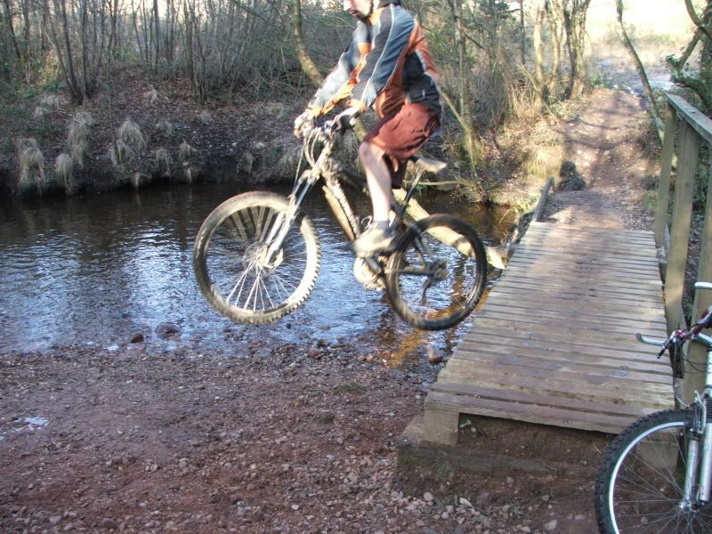
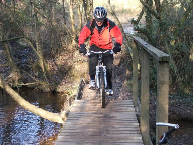
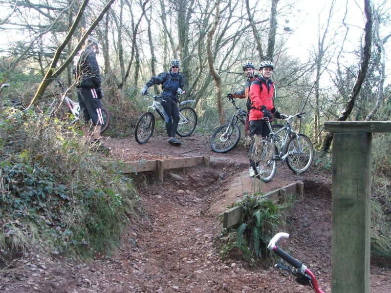
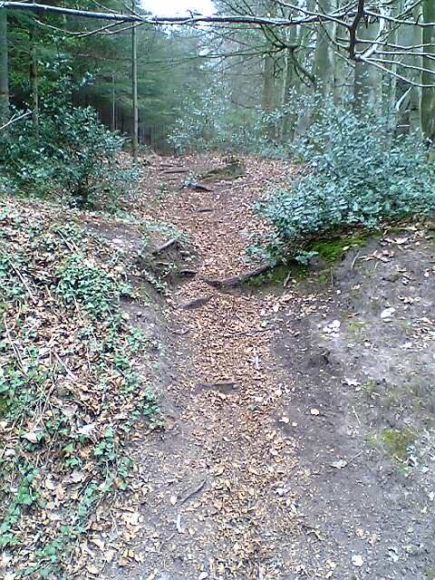
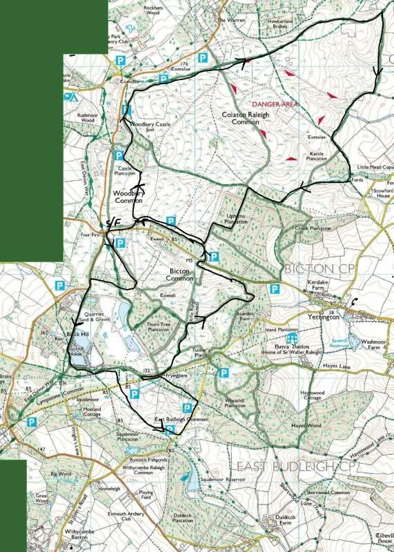
route help needed , Woodbury common , Devon.
-


Viewing 27 posts - 1 through 27 (of 27 total)
The topic ‘route help needed , Woodbury common , Devon.’ is closed to new replies.