Viewing 22 posts - 1 through 22 (of 22 total)
  • PSA for anyone riding in or around the Kentmere valley.
  • trailofdestruction
    Free Member

    Went walking with a friend around the Kentmere valley last Friday. Walking back down the Sadgill valley from Harter, and then past the farm up the bridleway to Green Quarter we were amazed at the sheer destruction the water has done to all the paths. Saw a couple of guys carrying their bikes up to get over to Haweswater, as it now cannot be ridden until you get to the gate at the top.

    Though it would be worth a mention as there may be folk thinking about doing the 3 passes routes. Not been over Garburn so can’t comment, but guess it is similar elsewhere in the Lakes on the high passes.

    You have been warned.

    Looking up Sadgill valley

    On the descent to the farm coming from Green Quarter

    Sadgill valley. I’m 6 foot tall btw

    More than enough to catch out the unwary !

    FULL SET OF PHOTOS HERE !

    Shibboleth
    Free Member

    Did Garburn Pass last Tuesday and it was a similar story on Troutbeck side. I’d say some of the damage is worse than that last pic of yours…

    Unbelievable, but I bet the Red Sock Brigade will still blame the bikers!!!

    Drac
    Full Member

    Yeah often gets like that nearly went down a few in the past, more fun than the sanitised crap though.

    reggiegasket
    Free Member

    proper trails

    IvanDobski
    Free Member

    And that’s my plan for the weekend sorted…

    trailofdestruction
    Free Member

    Pfftt ! They can try. It would take every single member of this ‘ere forum do somthing even close.

    I did notice a sign on the bridleway from Green Quater to Sadgill, that is asking the 4×4 and MX brigade to voluntary stay off the route until they get it repaired.

    There was a JCB parked in the valley, that has made a start down at the bottom, but there is just a bit more work to be done yet. 😯

    cynic-al
    Free Member

    OP, your log-in name is a bit suspect…

    nbt
    Full Member

    Woah. We were thinking of Nan Bield at the weekend…

    bjj.andy.w
    Free Member

    similar conditions on the descent off garburn pass to troutbeck. The the trench was that deep that if you went down it you would burn yourself on the larva 🙂 The otherside, as in the descent to Kentmere, was strangely unaffected.
    Edit- beaten to it.

    tracknicko
    Free Member

    best username/post combo ever.

    looks challenging.

    trailofdestruction
    Free Member

    Honest Guv, it weren’t me 😆

    The other thing to mention was just how completely saturated the ground is, the peat can almost literally not hold any more water. The becks flowing off the tops are full to bursting.

    There will be no drought in Cumbria this year.

    Not good for going over the tops, or anywhere that is is danger of getting cut up.

    I’ll be sticking to the rocky bridleways in Grizedale I think, just until it dries out a bit.

    Really was impressive to see just how much material was shifted. The sheer volume of water that must have come down 😯

    woody2000
    Full Member

    Looks like fun to me 😀

    rewski
    Free Member

    best username/post combo ever

    ain’t it just 🙂

    chakaping
    Free Member

    Yeah Garburn down to Troutbeck has got a ravine in the middle of it now.

    Awesome ride and very challenging on a 120mm bike. Tougher than the Kentmere side now.

    tops5
    Free Member

    Looks like fun to me

    what even on an El Guapo ?? 😀

    trailofdestruction
    Free Member

    Didn’t think of that until you lot pointed it out. 😆

    It’s all still rideable I guess, but my point was to at least make people aware.

    I didn’t want anyone to go flying down there and then all of a sudden lose a front wheel in a 4 foot gully.

    That would not end well.

    If you are doing the 3 passes route, and heading up the Sadgill valley, be prepared for a long push. There is just no way you can ride it.

    ir_bandito
    Free Member

    Did the 3 passes on saturday. Killer is all the fine gravel has been washed down from Gatescarth Pass, so riding up the valley saps your energy before you get to the steep bit. Haweswater side of Gatescarth was clean as a whistle.


    P7210028 by ir_bandito, on Flickr

    Garburn descent to Kentmere was fun, as was descent to Sadgill from Stile End

    stevestunts
    Free Member

    ToD – is your name Toby, by any chance?

    trailofdestruction
    Free Member

    Guilty. Have we met ? I don’t owe you money do I ?

    stevestunts
    Free Member

    No, we used to be in Scouts together 🙂

    rickmeister
    Full Member

    No, we used to be in Scouts together

    Dib Dib Dib… feel the love !

    Thanks for the info and it looks a good descent from the pics… though I agree about dropping a front wheel into a huge rut…

    trailofdestruction
    Free Member

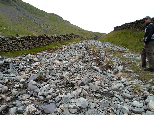
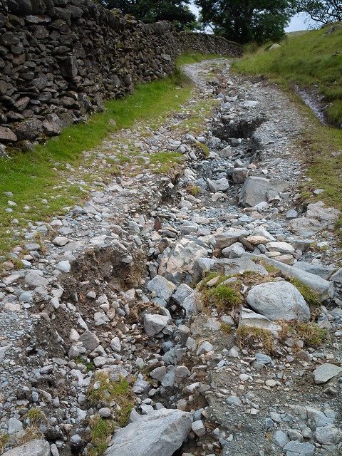
    Wow. Really. I have fond memories of being in Scouts. *

    And before anyone starts trying to rip the pee, joining the scouts whilst growing up on the edge of the Lake District was fricking awesome.

    I learned how to pitch a tent, light a fire, read a map and a compass, sail a boat, paddle a canoe, read the weather in the mountains, use natural navigation to find my way back home, pitch a rope on a climb, how to abseil, build a bivvy, use an axe and saw and a knife, pack a rucksack for a multi-day hike, how to cook over an open fire. And that’s off the top of my head.

    We did loads of really interesting and useful stuff, none of which I would have otherwise learned. Kind of hope modern health and safety hasn’t killed off that kind of stuff in scouts.

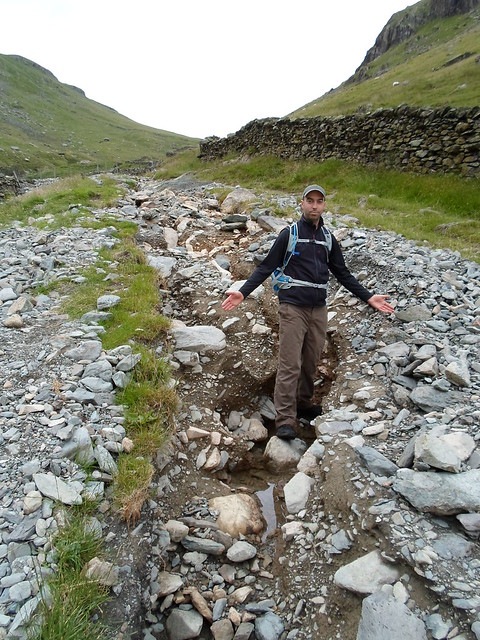
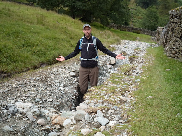
    Oh, please don’t post any pictures though. 😀

    * except camping in Keilder forest and getting eaten alive by midges.

Viewing 22 posts - 1 through 22 (of 22 total)

The topic ‘PSA for anyone riding in or around the Kentmere valley.’ is closed to new replies.