- This topic has 10 replies, 8 voices, and was last updated 3 years ago by jamesgarbett.
-
High Cup Nick
-
jonbaFree MemberPosted 3 years ago
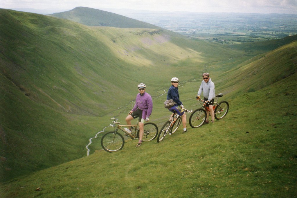
Yes. From the top you can descend on the north or south top side. I normally go the north side bridleway.
You can make a really good loop. I’m going to assume you are starting in Dufton. Head to Knock and up the service road for Great Dun Fell. You can go up the pennine bridleway but there is a lot of walking. The service road is good enough to take a road bike up.
From the top ride over to Cross Fell. From there down to Greg’s hut and Garrigill.
Small road south (not the B road to Tynehead. Then cut up to the B road. First optionh turn to Cow Green. Pick up the bridleway past the dam that takes you over to the top of high cup nick.
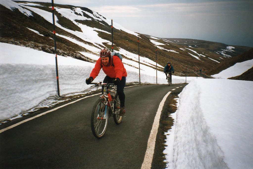
The only caveat with this is the last time I did it they were working on the Cross fell descent and it is now likely to be a gravel road so not that exciting.
You could look at coming down from Dun Fell by Troutbeck or back to the west but I’ve no idea what these paths are like. You could reverse it and climb up the gravel road and come off Dun Fell on the Penine Way but then you’d be climbing up High Cup Nick. Probably rideable but it is better coming down.
bajsyckelFull MemberPosted 3 years agoI like it, not done it for ages. Best as part of a big loop unless you’re short of time and starting from the Eden valley. More non technical XC riding than anything else, pick a day for good weather and decent views. My preference would be to start anywhere but approach it for the first time from the East (Cow Green), descend on the north side of the Nick, minor roads/tracks in the valley heading north, up Great Dun fell radar access road, bridleway singletrack (still exists?) down to pick up track then road close to South Tyne towards Garrigill, off road climb to pick up the main road near Yad Moss, cheeky estate track back to Cow Green.
Other recommended routes nearby? Are you meaning upper Teesdale or Eden side of things? Cross Fell is the obvious one and can be linked to High Cup Nick loops without too much creativity. The bridleway that loops round the East side of the summit area tends to be either very boggy hike a bike or snow covered. No real path on the ground for much of it so avoid that I’d say.
loweyFull MemberPosted 3 years agoAs above. Can be included in a nice old XC day on the moors. Cracking veiws from up there.
My only caveat would be, under no circumstances end up on this Bridleway. Its bloody awful.
bajsyckelFull MemberPosted 3 years agoMy only caveat would be, under no circumstances end up on this Bridleway. Its bloody awful
Should mention that I included this in my route suggestion (the bit with a question mark 😉 ). It used to be sensational singletrack, fast, narrow and finely balanced above Trout Beck. Bits of it were always very likely to disappear into the water with erosion, other bits are boggy in the wrong conditions. Not many people use it and last time I was over it had been thrashed to **** by idiots on motorbikes. I wouldn’t be surprised if it wasn’t in a great way, but would be sad as I know how good it was.
To be fair it’s not as bad as the one I warned against between Rake End mine and the saddle at Tees Head. That is pretty desperate, and there are quite a few possibilities for falling into unseen mine workings if condiitons are bad.
jamesgarbettFree MemberPosted 3 years agoThanks folks – staying near Brampton so anything around that area
butcherFull MemberPosted 3 years agoIt’s classic XC stuff. Depends if that’s your thing or not. Be warned, the weather can get rough up there at any time of year, and progress can be slow depending on your route. They look innocuous but they’re amongst the highest peaks in England. Cross Fell sits only a couple of hundred feet below Scafell Pike.
If you’re in Brampton and like some good XC, it’s also worth checking out the riding around Allendale, across Hexham Common.
posiwevFree MemberPosted 3 years agoRidden it a couple of time latterly https://youtu.be/aqiocvvwz64 park-up outside of Knock a bit of a trapse up to the old Rader station, pick up the stream which you cross a few times, past the source of the Tyne to Tyne Head up the byway from the house to pick up the trail to Cow Green res. then follow the Pennine Way, you need decent weather and the descent can be full of walkers, fortunately the weather was good and trails quiet.
eat_more_cheeseFree MemberPosted 3 years agoHorrible memories of that ride. What Lowey said…that path is shite. Couldn’t find the supposedly ‘great’ descent off Great Dun Fell either. Only good descent was that into Tynehead from the B6277.
Brampton is ace for the fighting at the weekend. That sportsman’s bar is the place for the scenes!My favourite route in the area is just south of Brampton. Head out to Talkin past the Talkin Heads Farm. BW descent to Low Hynam then follow the well marked track over the moors south towards Newbiggin Fell. Climb up Cumrew Fell and look for descent heading west off the summit…Strava May be of help to find it, but it’s a belter. Head back on any number of tracks north to some ace village pubs.
The topic ‘High Cup Nick’ is closed to new replies.


