Viewing 6 posts - 41 through 46 (of 46 total)
  • Why can't a GPS work out altitude ?
  • CountZero
    Full Member

    I thought I’d do a little experiment yesterday, while I was down at Brean, and check my phone’s GPS against the trig point on Brean Down. I took two screen-grabs, one with Viewranger, because it has the proper OS mapping, but doesn’t show altitude, and one using UK Map, which shows altitude, but the mapping is more basic free OS.


    The trig point is 97m, or 318.24ft, and my phone shows it at 315ft, after it had settled down and aquired enough satellites. Accurate enough for most people, I would think.

    GrahamS
    Full Member

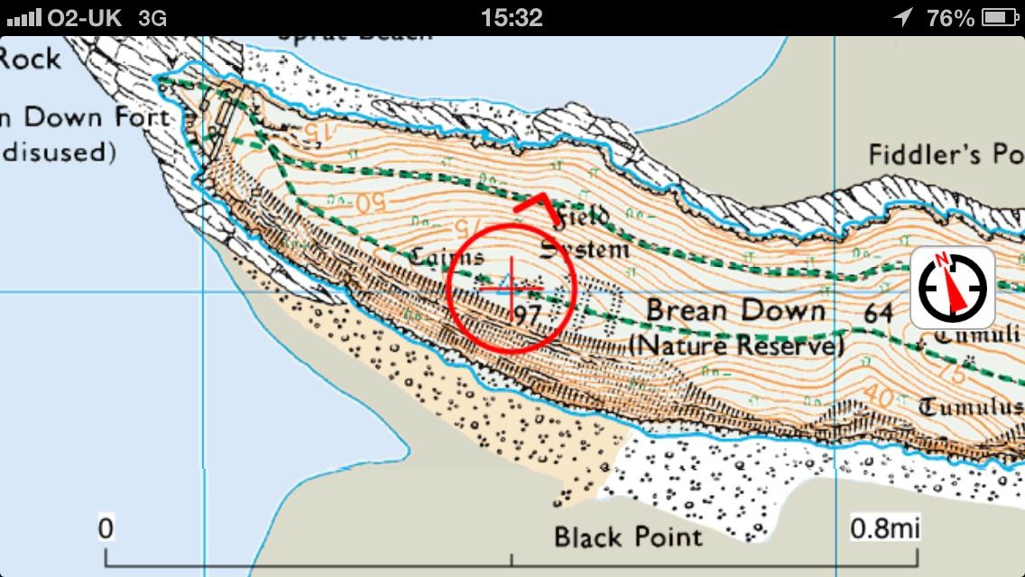
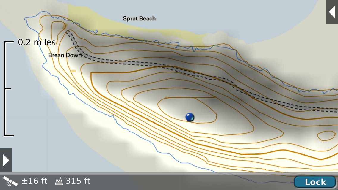
    Count: pretty good for a fixed position but my experience is that Total Ascent/Descent on a route, as recorded by Endomondo, is often waaaaaaay of the mark.

    Incidentally, does anyone know if there is some standard way to work out Total Ascent/Descent?

    Obviously it is the total of every up/down but at what sort of distance/time resolution?

    i.e. the ground is never totally flat, but at what resolution does/should it count towards total ascent/descent?

    For example, crossing a road could add 20cm to ascent and descent for the kerbs, plus another say 50cm for going up and down the road camber, but presumably it normally doesn’t (partly because the GPS isn’t precise enough to detect it).

    andytherocketeer
    Full Member

    Looked at that before (ye olde worlde thread on here).

    Everytrail iirc was one that simply added the +/- differences between every consecutive data point in the file. Data points were typically at 1s intervals, but several may be missing due to bad lock, etc.
    Endomondo iirc smoothed it a bit.
    Strava invented some extra relative height differences from somewhere else.
    edit: not sure what the eTrex does – think it might be just the sum like Everytrail uses.

    The exact same file was used for all 3.

    Those spot checks seem pretty accurate, certainly accurate enough. Mine gives a reasonably consistent +40m offset.

    Can anyone explain why my last endomondo trip decided my altitude dropped to 281m below sea level? The only descent I did was off a bridge crossing the railway about halfway thru a ride. (can sort pic later).

    GrahamS
    Full Member

    Endo can be all over the place. I record my commute and always take the same route and my Total Ascent varies between 100 and 300m!

    And if you try importing a GPX from a Garmin then you can get some very odd figures (mate had one where it looked like it was reporting the ascent in feet as if they were metres – resulting in an ascent three times higher than it should have been.

    Reported it to Endo Support and they just said they knew there were “some inaccuracies” 🙄

    sparkyspice
    Free Member

    I fly hot air balloons for a living and use a GPS iPad and an altimeter/variometer. The altimeter/variometer uses barometric pressure and is by far the most accurate. If you can find a GPS that fits your needs and has a barometric sensor then your in business.

    CountZero
    Full Member

    I’ll certainly concede that altitude lost/gained may well be open to all sorts of cumulative errors while the device, whatever it is, tries to maintain its contact with the satellites. It’s different to standing in one spot while the device settles down. Putting barometric sensors into phones/pads would be a useful addition, seeing as how they’re being used more and more for outdoor pursuits where accuracy is needed.

Viewing 6 posts - 41 through 46 (of 46 total)

The topic ‘Why can't a GPS work out altitude ?’ is closed to new replies.