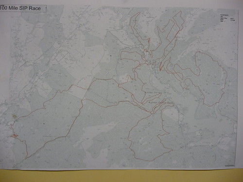
Here's the map (fwiw) and some pics from today. Wet.
I'm afraid I didn't study the map closely enough to see whether we go out to Newcastleton over Bloodybush or the other way (marked as Cross Border Route on my OS map). However, the CBR is signpost as an out and back from Kielder over Bloodybush and back over Scotch Knowe so that's what I did (also there's some new manmade trail which joins the BB track just before the tower). Easier that way I think – the descent from Bloodybush is steeper and currently washed out (today)so easier going down than up.
Newcastleton manmade trails are smooth like Glentress; Kielder ones are rougher (and very new in places) like Marin at Betws. These are the only other places I've been to compare.
I went really steady today, and stopped for a few photos, but I reckon 9-10mph should be fairly easily attainable.
There are no massive steep gradients on the bits I've been on so SS 32:18 on a 29er or 32:16 on 26" should be fine for those who want to. I'll be disappointed if richpips isn't fixed 🙂
Hard to say really Charlie. There doesn't seem to be anything really steep except odd (short) bits of MM trail. Most of the climbing over the border is on forest roads. The area's just generally hilly and the lines on the map go up and down a bit! It'll be tough, for sure, but as long as you can keep going then making the cutoffs should be fine.