- This topic has 16 replies, 7 voices, and was last updated 14 years ago by .
Viewing 17 posts - 1 through 17 (of 17 total)
-
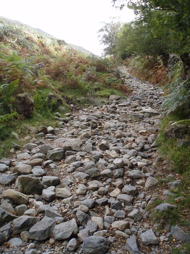
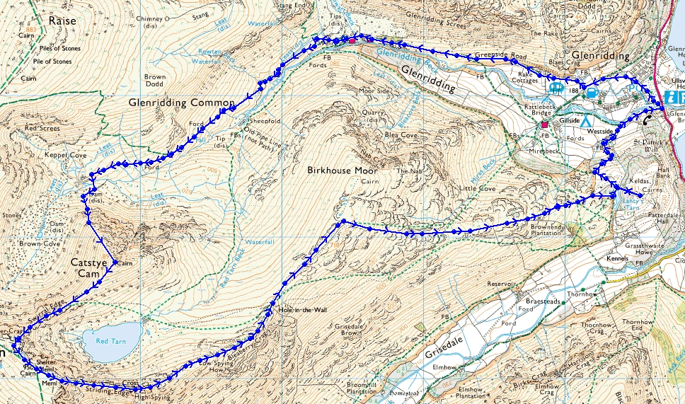
Walking route map for Glenridding around Helvellyn
-

Viewing 17 posts - 1 through 17 (of 17 total)
The topic ‘Walking route map for Glenridding around Helvellyn’ is closed to new replies.