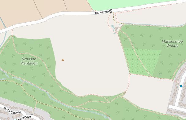
Some time ago they announced to move towards Open Street Maps, which I think are way better than Google Maps (for mountain biking for sure!).
If you go to see someone’s ride (or your own) it shows it using the OSM: it looks really nice, all the paths and tracks are shown, all the landmarks, names of the parts of the woods (the latest OSM look even nicer than the legendary OS!).
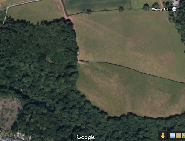
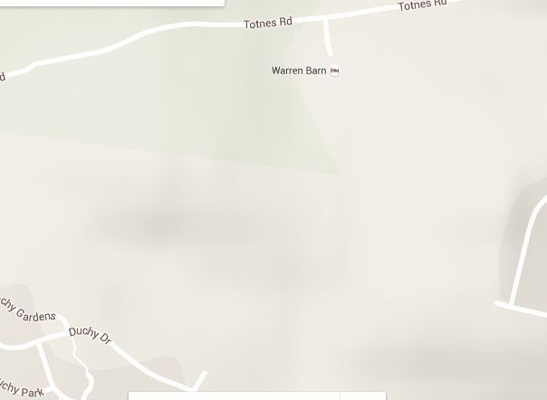
Then you want to create a segment… Hang on! Back on the Google Maps!
Which means for off road use you still see “green screen” for woods and “white screen” for open off-road heath fields… I can’t think about the purpose of that.