Viewing 11 posts - 1 through 11 (of 11 total)
  • so tell me about bike/walking satnavs gps.
  • pk13
    Full Member

    All new to me but someone on here must use them .
    I have GPS on my phone and copilot both only showing road maps copilot is very good as you can put lat/long in for directions.
    But i want a unit that shows OS or an equally good mapping system with bridalways ,walks and single track riding . Not to big in size or expensive ,so how do they work (loading maps or even my own routes) are they better than a paper map and compass that I can use but my wife dislikes .

    So I want to

    Load my own maps
    Find my location
    See it,screen size of a smart phone
    And idiot proof .

    Anyone have a device that you can do this with or even an app for android but I would prefer a separate unit .I’ve looked around but there are many options and gadgets out there .

    Thanks

    B.A.Nana
    Free Member

    smartphone option, try back country navigator if you want 1:25k OS on the cheap, you can trial it free for 3-4 weeks.

    are they better than a paper map and compass

    IMO they are better for MTB where you can’t really map read on the go. You’re making fast progress between points and want to keep the flow, getting a map out and having to completely reorientate yourself every time, is a pain. GPS makes it dead easy.
    For walking, because you can map read constantly, I don’t particularly see any need for GPS, also I enjoy map reading and compass work.

    pk13
    Full Member

    Is that an app I could load onto my spare phone? I’ve seen the name around runs off to Google

    Pawsy_Bear
    Free Member

    Garmin 650

    B.A.Nana
    Free Member

    Is that an app I could load onto my spare phone?

    Yes, that’s exactly what I’ve done. My old phone was a bit carp and the mic stopped working along with other functions, but it has a big screen. So, I stripped out most of the widgets/apps/software and just use it as a GPS device with Back country Nav.

    pk13
    Full Member

    Looking know thanks , Garmin 650 on the list too

    CountZero
    Full Member

    Memory Map, or for the widest range of international maps, Viewranger.
    Download the app with the base map, set up an account, download tiles of whatever area you want in 1:50k and 1:25k OS maps. Track routes, upload routes to the interwebz, etc.
    Works on iOS and Android. I have the whole of the UK 1:50k on my phone and pad, sideloaded from a DVD I bought some years ago when I had Viewranger on a Nokia N95; shitty phone and GPS, great maps, works much much better on my iPhone.
    Here’s a screen shot of Viewranger on my phone:

    coolhandluke
    Free Member

    I bought a garmin 800 for the bike, I wish I hadnt. I just dont think its as good as it looked on the box etc.

    jonba
    Free Member

    Garmin 800 is the best thing I bought for the bike. Screen is small though. It has been fine for walking and riding in areas I was unfamiliar with.

    There are probably walking garmins with bigger screens for less money.

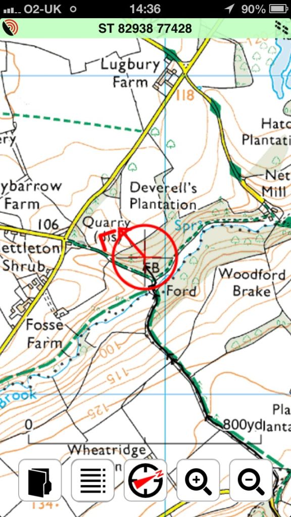
    You get an is map with an arrow and a line to follow if you load a route. It makes navigation much quicker.

    You can load your own maps. I’ve put some on there for an upcoming ride to Italy. Official ordnance survey maps are v. Expensive but you can buy the whole UK map bundled with the device which is well worth it.

    I find the garmin software for my PC poor so I create routes online. You just click and join up the dots on a map on your PC. Drag the file to the device and away you go.

    pk13
    Full Member

    I’m giving the back county app a go and will report back I have an old Samsung note phone that has a broken SIM card tray so it’s basically a small tablet . I used it last night walking the dog ands it’s location accuracy is very good.

    Thanks for your replys

    B.A.Nana
    Free Member

    pk13, I will be interested in your experiences of BCN. I think it’s a very cheap way of having GPS OS 1:25k mapping (on multiple devices if required), appears to have all the required functions, but I had a few issues recently with it blobbing out on a route I was recording on the North Yorks Moors. Could be down to the phone and/or it being inside a pocket, rather than a software issue and it wasn’t a major issue, but spoilt recording it as a complete gpx file route as it had breaks in the route recording. Despite it being slightly shonky on that occasion, I still think it’s excellent OS 1:25k mapping for a one off £6.99 payment.

Viewing 11 posts - 1 through 11 (of 11 total)

The topic ‘so tell me about bike/walking satnavs gps.’ is closed to new replies.