- This topic has 22 replies, 12 voices, and was last updated 9 years ago by .
Viewing 23 posts - 1 through 23 (of 23 total)
-
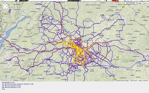
making a map with all my routes on it
-


Viewing 23 posts - 1 through 23 (of 23 total)
The topic ‘making a map with all my routes on it’ is closed to new replies.