Those that know the Mynd – what is the ‘best’ combination of descents to do?
Will be riding from Church Stretton and will be lynched if we don’t include Minton Batch along the way somewhere.
In the past have gone – up Carding Mill, along the top, down Minton Batch, along the road and back up on the fire road through the woods(1), along the top through the gliding club, down the grassy bank just after the viewpoint, back up the track(5) and back along to drop down Carding Mill again.
Looking at the map, there’s loads we haven’t ridden. looking for a ride of 30-35km.
Given how busy with walkers Carding Mill gets, guessing (11) > (12) > (14) > (15) might be a better bet on the way back down?
I’d not bother climbing cardingmill, go out up 15>14>12>11 up to the trig point across to 8 until the 8 then cut back on the Bw leading to minton batch, up through the forest, straight over down 2, along 4 up 5 then back down 11>12>14>15 to finish.
On saturday we went.
From Marshbrook
Up 2 and down 3
Across 4 and up 5
Across the top then down 11,12,14 and 15.(there is some climbing on 15)
Up Carding Mill.
Left across the top and down 7.
Back up 2 and back across the top and down 9.
Just under 30 miles and just over 1500M of climbing/1500M of descending.
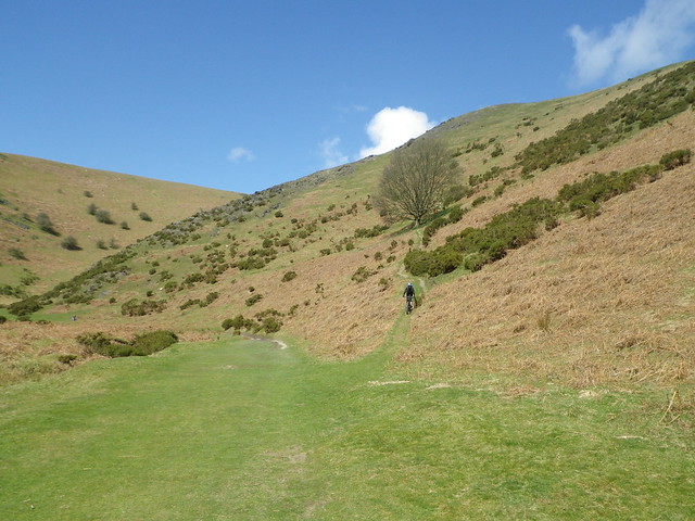
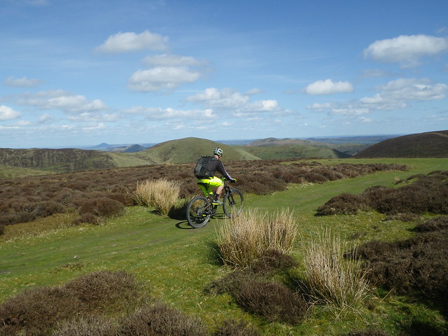
No14 [url=https://flic.kr/p/rNgNhd]IMGP0362[/url] by multispeedstu, on Flickr
No2 [url=https://flic.kr/p/rNgPfA]I can see Wales from here.[/url] by multispeedstu, on Flickr
No9 [url=https://flic.kr/p/r8QSFA]Peaks.[/url] by multispeedstu, on Flickr
There last week with 6 others and started from Marshbrook.
Up 1, down 2
Up 1k road (some bloke on his way down advised steepest continuous road ascent in England? Good test though)
Down 9 – fab contouring round valley before fun descent in to Little Stretton and snack lunch in beer garden at welcoming Green Dragon – Bass draught 🙂
Road ride through Church Stretton (better start point is car park opposite Co-op with finish in Berrys for tea and fab cakes) across 15 then up 14, 12 & 11.
Regrettably not enough legs for 20 and back up road along side of Carding Mill Valley so finished with
Descent down 7 and grins all round.
3 ascents, 3 descents and ~24 miles (used above map and ‘Where’s the Path 3’ to map route to .gpx file – v simple).
Think even those who travelled from north of Manchester had a good day out. Pity cafe and pub both closed at end!
Enjoy
Posted 9 years ago
Viewing 9 posts - 1 through 9 (of 9 total)
The topic ‘Long Mynd – best routes?’ is closed to new replies.