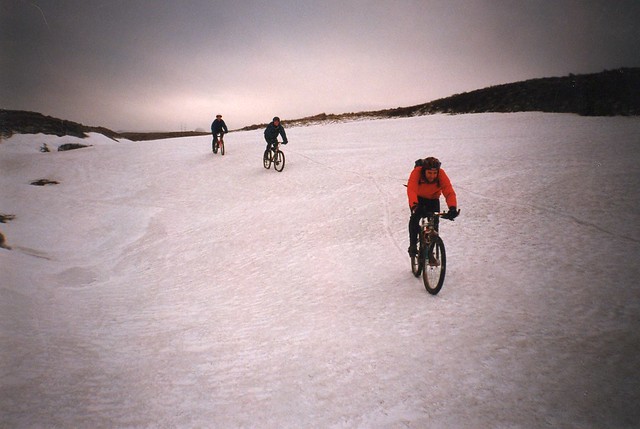
I have a pass out for Saturday (on condition that I am back for tea) and am planning to attempt Cross Fell. Starting in Garrigill, travelling past Cross Fell on the south side and down into Blencarn, returning staring in Milburn, then heading down Trout Beck and into the South Tyne Valley and home.
The weather forecast is dry for the day (http://www.mountain-forecast.com/peaks/Cross-Fell/forecasts/885) but I am concerned that the rain over the last few days may have made it too wet (I note that there is more rain sue between now and Saturday. Should I plan to give it a go, or head off to a trail centre? Top tips gratefully received.
I live perhaps 20 miles from Cross Fell. It’s not the same but it has been very dry over the year and even though we had loads of rain last Friday it seems to have just soaked in or run off. I wouldn’t be too concerned about the conditions.
By passing to the South side to Blencarn do you mean taking the BW through Tees Head and down over Wildboar Scar? If so that is fantastic. The path is a little difficult to find at the start of the descent but just keep heading in the general direction. The other path to the North down to Kirkland is also good but a track rather than a singletrack BW.
Last time I went down the BW ajacent to Trout Beck heading back to Tynehead it was pretty broken in places and not all rideable, even downhill.
I’ve ridden the cheeky FP along the tops too over Great and Little Dunn Fells. All good, enjoy!
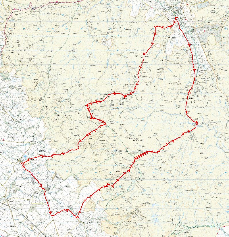
My favourite route is reasonably weatherproof.
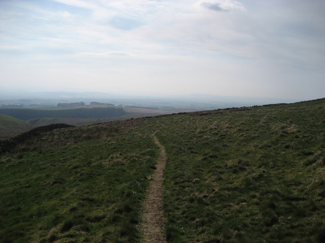
Head south from Garrigill, back up to the Middleton road. At the top of Yad Moss, bear south on the landrover track (marked as a footpath) to Cow Green Reservoir.
From there, follow the Pennine Way bridleway to High Cup Nick, drop down to Dufton for a pint or two in The Stag. All good calories before tackling the road climb from Knock up to the golf balls on Great Dun Fell.
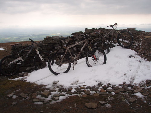
Follow the (cheeky) Pennine Way along the ridge over Little Dun Fell to Cross Fell. Descend down The Screes to the Kirkland track (the only boggy bit) then head back east past Gregs Hut to Garrigill.
I’ve heard good things about Wild Boar Scar, but never ridden it.
BW ajacent to Trout Beck heading back to Tynehead it was pretty broken in places and not all rideable
Paul4stones – yes, the plan is to descend down over Wildboar Scar down into Blencarn.
Your comments on Trout Beck may lead to a rethink. Do you mean that there are parts where you need to get off and walk, or that the whole leg down to where the path starts near the Tees is a no go?
We used to go anti clockwise from garrigill – greggs hut – keep heading west over cocklock scar to blencarn. Along to knock up the Tarmac climb to great Dunn fell and back via trout beck. I now prefer pushing over cross fell and descending wild boar scar. Cracking descent.
Looking on geograph.org, there’s not much of a path bewteen Hanging Shaw and the silverband mine.
Bottom section looks ok though
I know someone who went up bridleway around Bluethwaite Hill from Dufton to the mine at the top, then followed a vague path from the head of Maize Beck back to the top of High Cup Nick.
Quite interested in different people’s opinions of routes as I’ll be starting on orgainising the North Penines MTB Sportive for next summer sometime soon. Got canned 2 years ago due to weather, and last year the organising got a bit out fo kilter. This year, we’re onto it 🙂
I’ve never gone up Troutbeck, always gone down it. If you went up Troutbeck where did you go from there? Hopefully you didn’t do the Derek Purdy route of descending down the tarmac
This was in around 1996 though, The BW down the side of Trout Beck was always the crappiest part of the ride even then (as well as the hike a bike over Metalband Hill to get back to Cow Green)
Posted 10 years ago
Viewing 19 posts - 1 through 19 (of 19 total)
The topic ‘Cross Fell on Saturday’ is closed to new replies.