I’m doing a charity ride in Italy in a few weeks. I’ve been putting together the routed and have been asked to give more info/route cards. People are concerned about the climbs and want more info. I can tell then that we are climbing x meters over y kilometers but that doesn’t mean a lot to most. I wanted to produce some tour style route profiles for the biggest climbs. I can produce elevation profiles on bike hike but they aren’t that helpful (as it stretches the climb to fit the grid so they all look fairly similar despite one being 200m and another 1000m.
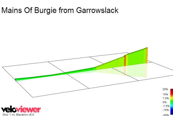
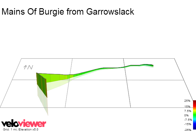
so is there anywhere I can highlight a road and get a nice picture like this