- This topic has 54 replies, 38 voices, and was last updated 7 years ago by whatyadoinsucka.
-
Bridleway Route-finding
-
yimanFree MemberPosted 7 years ago
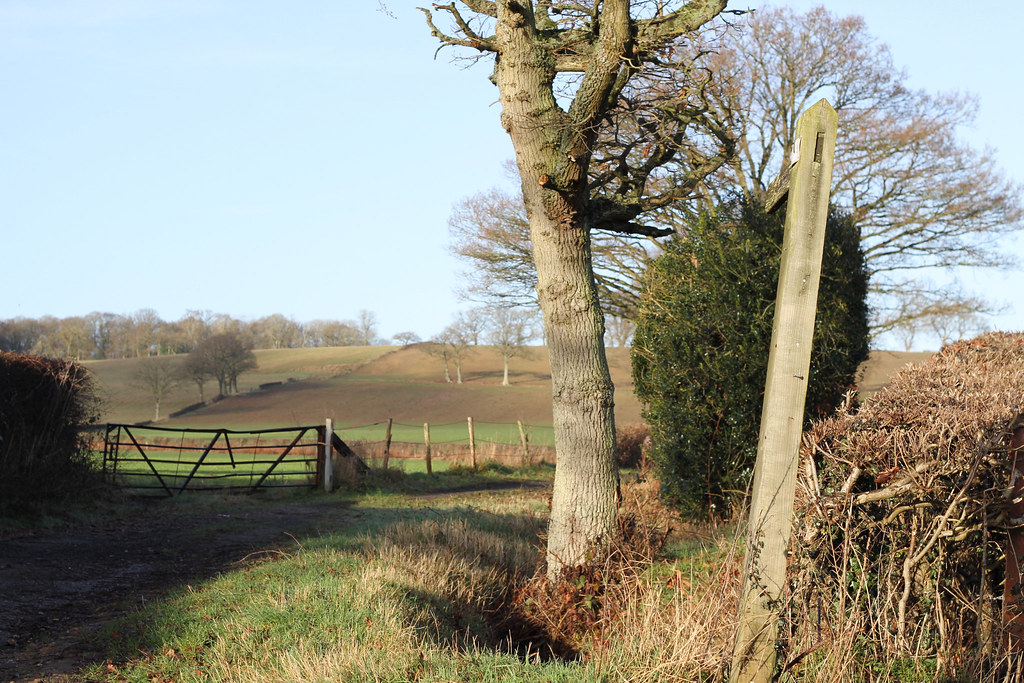
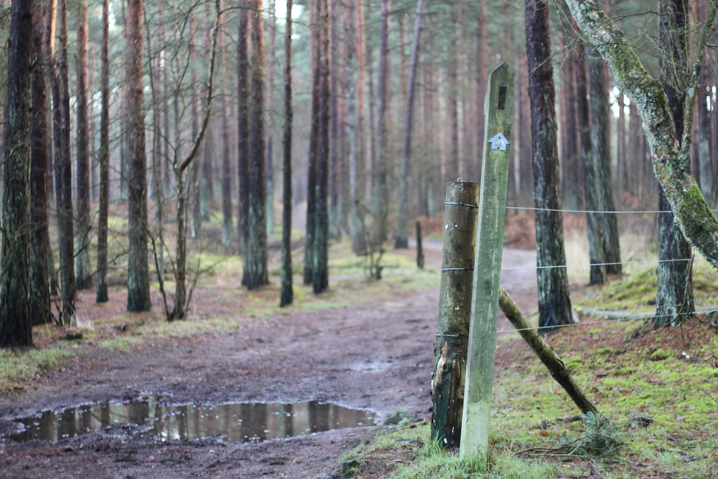
I often notice new (to me) bits of bridleways when out and about in the area (between Notts. and Derby), which leads me to ponder how to link them all up to make up largely off-road routes of say 20 or 30 miles.
I’ve tried starting to look at online O/S maps but it quickly becomes painful as what I thought would be longish bridleway routes turn out to be a couple of hundred meters of bridleway here and there. It’s not easy to construct a route where you could ride without turning on and off roads all the time.
Is there an easier way to do this (e.g. a route-making site focussed on bridleways) or can anyone offer any tips? Is this actually possible or is the reality that in most places bridleways are exactly as intermittent as I’ve found?
dannyhFree MemberPosted 7 years agoDepends very much on old parish boundaries, I believe. Some places/authorities were better than others at extending bridleways where they morphed into footpaths than others.
After trying different methods, I find OS maps are the best, but I am old fashioned. They allow you to instantly get an impression of the larger area and what you’re trying to do.
I have zero qualms about riding on footpaths anyway, but even more so when they start as a bridleway, then become a footpath. Adopting this approach may make route creation somewhat easier 😉
CaptainFlashheartFree MemberPosted 7 years agoAfter trying different methods, I find OS maps are the best, but I am old fashioned. They allow you to instantly get an impression of the larger area and what you’re trying to do.
This.
Dining room table, a decent bottle, notepad and a bunch of OS maps. Heaven.
I tend to use OS to “think out” a ride, before plotting it in to my Garmin.
ninfanFree MemberPosted 7 years agoIts, unfortunately, very area dependent, and much of that is down to historical issues of recording of the ROW in the fifties during the parish surveys and drafting of the definitive map.
Its, unfortunately, not easy to put this right either.
There are areas where I could put you together a fifty mile route with only a couple of short (200-300m) sections of tarmac, there are other areas where I just cant link up anything more than a few short stretches of bridleway with miles of road.
Nothing beats paper maps to get a feel of the whole network
Dannys advice above is strong – just get out and link together with footpaths, but use common sense and discretion in busy areas.
MoreCashThanDashFull MemberPosted 7 years agoDepends where you are starting from. Using the bridleways, towpaths and Sustrans you can put some cracking routes together between Nottingham and Derby. Not technical, but a decent ride out.
Liberally sprinkled with cafes as well!
ianfitzFree MemberPosted 7 years agoI like bikehike.co.uk as it allows you to look at both os maps and Google/satellite/OSM in two screens can create and export gpx files to use on a garmin or similar.
djflexureFull MemberPosted 7 years agoI find it quite hard to define new mtb routes locally and would like to find an easier way too. Don’t have much success looking through Strava, most of what is listed as mtb turns out to be road rides where I live. The BWs are exactly as you describe, short segments of varying quality that have to be strung together for a decent ride. What I ride regularly works fine and can be linked by canals. The times I have strayed away from these routes, generally going further afield usually ends up as nonedescript sloppy mess. Must try harder.
garage-dwellerFull MemberPosted 7 years agoI like OS paper map. Getting into the Explorer orange ones but actually the old pink Landranger series is good for this sort of thing. After a while you get a sense of how big your ride is from how it looks.
I was brought up on exploring places on foot or bike with map and compass pre GPS through cubs, scouts, touring cycling, mountain biking etc. So this is a bit of an old fart comfort/good old days thing.
ninfanFree MemberPosted 7 years agozoomable bridleway map
Its garbage
full of routes that are not bridleways, and missing loads that are
CaptainFlashheartFree MemberPosted 7 years agoreggiegasket – Member
zoomable bridleway mapMisses a lot of bridleways, as well as RUPPs, BOATs, cycle network and “other public access” routes.
So, next to useless.
Get a map. Get the full picture.
djflexureFull MemberPosted 7 years agoHave to agree – that website and the OSM cycle map both miss out much of what is on offer in my locality.
aracerFree MemberPosted 7 years agoAlready kind of done in the second post, but if your issue is bridleways being scrappy short lengths then you need to be a little more creative about what is a bridleway and ignore the incorrect classifications on the definitive maps. It seems nonsensical to me to have your riding limited by the failure of parish councils to do their job properly (if I’m being kind and not assuming there were vested interests involved in the classification).
Otherwise it’s always difficult drawing up a route just based on maps as they give you little information on what the going is like on the ground – worse in some places than others, but I can think of several rights of way which are totally non-existent on the ground (some of them are clearly just arbitrary lines on a map and have never existed on the ground).
jam-boFull MemberPosted 7 years agoFind a decent segment on Strava, look at the leaderboard, click through on the date of top few riders and look at the rides they did to get there. They will probably be locals, ride that section regularly and know how to link it into other stuff.
At least that’s what I do if I ride somewhere new.
ajantomFull MemberPosted 7 years agoBikehike.co.uk route creator – OS maps and google maps combined. It’s great.
I plan on this and then draw the routes on my paper maps with highlighter.CaptainFlashheartFree MemberPosted 7 years agoOtherwise it’s always difficult drawing up a route just based on maps as they give you little information on what the going is like on the ground – worse in some places than others, but I can think of several rights of way which are totally non-existent on the ground (some of them are clearly just arbitrary lines on a map and have never existed on the ground).
This is pretty true, I must say.
I have two versions of the 1:25s around me locally. One is clean and pristine, the other has trails/routes marked with highlighters to show what it’s like. One colour for gnarmac friendly in summer, one for gnarmac friendly in winter, one for “take a proper off road bike you fool!” etc.
The only way I’ve been able to build up my own personal “grading” system is by getting out there and exploring. Which is utterly ACE! I rode a trail last year on the gnarmac bike and all along it I was thinking, “This is getting a SERIOUS dose of the green highlighter!” as I cursed my way along the gloopfest on 30mm slicks! 🙂
ninfanFree MemberPosted 7 years agogetting out there and exploring.
Best part of it IMO
Huge sense of personal achievement when you have ridden and marked off every path on the OS map
pdwFree MemberPosted 7 years agoAnother vote for bikehike. Hit the “Toggle map sizes” button so you get a big OS map.
I’m pretty sure the other link above is based on OSM data which is user contributed, and when I last looked the categories of paths that OSM supported didn’t correspond very well to the English/Welsh RoW classification, so bridleways are categorised inconsistently, and in many cases wrongly. I suspect walkers putting routes in are much less careful about the bridleway/footpath distinction.
SandwichFull MemberPosted 7 years agoOSM cycle map both miss out much of what is on offer in my locality.
You’ll be needing an OSM account and start editing the map of your area to get the ROW in.
vdubber67Free MemberPosted 7 years ago+1 for getting out there to explore. After about 10 years you end up with an encyclopaedic knowledge of every footpath and bridleway within a 50 miles radius of your house!
+1 for OS maps as a starting point though.
As a curve ball option, have a look at this:
https://www.amazon.co.uk/Good-Mountain-Biking-Guide-England/dp/0956802907I got it for £2.99 from a charity shop. Quite good, as it just gives an idea of the trails in an area in OS type format rather than routes…
russlFree MemberPosted 7 years agoI’m not sure if it’s something to do with my age (40), but what the OP sees as a problem is exactly what I enjoy about mountain biking! Get a paper OS map and get out there! Some paths are crap some paths are great, the fun is in finding out for myself.
As an aside I’ve found google earth of limited use as to actually what is on the ground once you get out there, I still look at new places on it but don’t judge them from it.cinnamon_girlFull MemberPosted 7 years agoWith OS maps you’re dependent upon them being updated which could be every 5 years. Surprisingly though the OS Get-a-Map subscription service is NOT up-to-date. Streetmap is worth checking out as it’s been known to be more current than OS.
ninfanFree MemberPosted 7 years agoShould mention this site, which has most of the country on Google Earth compatible files after putting in FOI’s to all the councils:
whitestoneFree MemberPosted 7 years agoGeograph.org.uk can also be worth checking ou (user interface notwithstanding ) -it aims to have shots from every grid square so there could be shots of a bridleway. Sometimes the contributors are more interested in decaying farm machinery so it’s a bit of a lottery.
Went on a couple of new (to me) bridleways today after I’d seen them on the map, let’s just say my bike had a bit of an agricultural smell afterwards 😆
colournoiseFull MemberPosted 7 years agoninfan – Member
Should mention this site, which has most of the country on Google Earth compatible files after putting in FOI’s to all the councils:http://www.rowmaps.com
Great to see Northants (where I am) as helpful as ever…fatboysloFree MemberPosted 7 years agoBest way I have found is really old fashioned….
Big table,
OS map opened up,
Highlighter pen, I often use yellow as you can usually still see the colour of the trail you highlightGo round map and highlight every bit of bridleway you can find
Step back and look for loops which look promising,
Look closer and see if you can easily link them upFold up map, go explore
cozzFree MemberPosted 7 years agosame here
OS map – i prefer the pink ones
highlighter pen, do all BW and maybe footpaths a diff colour
you can buy a custom one centred on your house which gives you about a 15mile ? radius
go out for a day and explore
im in notts, bought nottm and mansfield maps and done them
ninfanFree MemberPosted 7 years agoThis thread created a theme for today: ‘musings on the blue arrow of unknown joy’

Just think of all the people who spent a couple of hours in the car driving to a trail centre this morning 😯
bikebouyFree MemberPosted 7 years agoEvery Council in England must provide a Rights of Way definitive Map. It’s the law.
Hampshire has a very large detailed map, I’ve just looked on the Derby City Council site and there are many maps, but the only one you can get is a printed one at present, they will provide it to you if you ask.
Other than that OS is the obvious choice.
charliewFull MemberPosted 7 years agoWhere’s the path is also useful for exploring new areas and unknown paths/tracks…
charliewFull MemberPosted 7 years agoBut to answers your question, long distance Bridleways are few and far between. You’ll find most long distance bridleways in more mountain/hilly areas which are often passes between two valleys.
Most public rights of way in rural areas where created to allow people/farmers to get access to churches/mills/places of work which is why lots run through the middle of farm yards. They weren’t originally created for leisure use.
I imagine most bridleways these days are tracks which never got upgraded to roads for motor vehicles.
TooTallFree MemberPosted 7 years agoBritish mountain biking was, for me, about the journey, the exploration. I learned to read maps (a dying art in the age of smartphones) very well as a kid because you have to if you hike in Northumberland! I moved around the UK for nearly 20 years and a local OS map and curiosity saw me exploring from every house I lived. Joining up those RUPPs, BW, ROW with short road stretches gave me far more enjoyment than any trail centre. Less rad, but more involving, educational and remote-pub-findingly good. You’ll find sets from Dr Who, Glen Miller’s last public concert location, random trails through woods, alpaca farms and even the YOI that Stephen Fry was locked up in.
Love maps, ride.yimanFree MemberPosted 7 years agoI’ve gone the map route, bought the 4 maps around Derby and Nottingham. I’ve had a look at the online resources before but can see that the map, highlight and join up (supplemented by the online sites) will really give me the visual possibility of where I could get to.
I’ve managed to ride to work in Derby from Beeston in Nottingham mostly offroad before just through exploration, but looking forward to opening up some new possibilities for loop rides as well as commuting.
ajantomFull MemberPosted 7 years agoJust been on 35 mile mostly off-road pootle, lots of linked bridleways and unmetalled roads.
Possible due to 20+ years of just exploring the area, some use of OS maps, but mostly just following my nose. What some people would call ‘proper’ mountain biking 😉
Sometimes you need to take a gamble on a trail, and sometimes it’ll be great, and others it’ll be pants!globaltiFree MemberPosted 7 years agoBritain is the best mapped country in the world and the OS 1:25,000 maps are superb. When I used to mountain bike I would spend hours on the bog studying maps and linking up bridleways and unclassified roads then I’d go and ride them. Somebody wrote above that BWs in agricultural areas aren’t much good because they only tend to link across farm land. This is true; but in hilly areas BWs are the former packhorse trails along which goods were carried between settlements before canals and roads, and no BW is ever beyond what a loaded pony and now a bike could manage.
I still use OS maps for road riding through the 1:50,000 scale is better.
whitestoneFree MemberPosted 7 years agoWith the exception of motorways and bypasses just about all of our “road” network was once what we now call green lanes, bridleways, footpaths. (The Romans added one or two bits as well) The ones that saw more use got bigger, bridges installed over rivers, then pitched with stone, finally getting tarmac. Some routes fell out of favour once easier alternatives became available perhaps because land got drained or a bridge got built or ferry started. Basically all that is left are the routes that weren’t considered to be “upgraded” to roads.
In the 1920/30s when the roads were being tarmaced in the Lakes there was serious consideration to making the BW between Wasdale Head and Borrowdale over Styhead Pass into a road. Eventually the council decided not to and upgraded Hardknott Pass instead.
The topic ‘Bridleway Route-finding’ is closed to new replies.