Hope he won’t mind me reproducing this – got it from someone else on the forum
Blencathra route I took was
(we camped at Gillhead farm so rode from there)
Mungriside – onto the footpath west following the river Glenderamackin up to Mungriside Common.
Its not on the map (but on google earth) there is a steep trail up to foule crag and then the summit of Blencathra.
Descent – (again not on the map but visible on google earth)
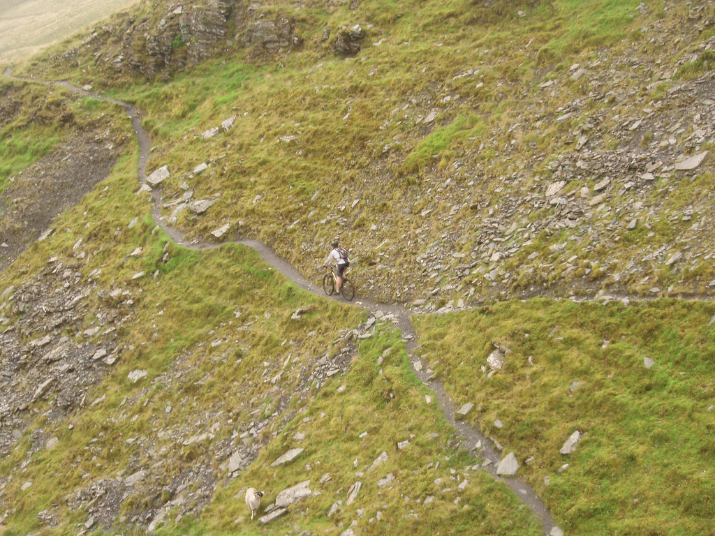
From the summit head NE down the wide doubletrack as if going down Scales Fell. After a couple of switchbacks you will see a feint trail heading left towards Scales tarn. This opens up into really good steep singletrack down to the tarn.
From the tarn follow the marked footpath SE along the opposite bank of the Glenderamackin. Its nice flowing trail centre type riding (apart from a section of very steep steps, one of our group cleared it but its pretty nasty!). After about a mile you will see a track going slightly up to your right. Follow this and you get some really nice tech singletrack then a steep loose surfy section. Straight over the 4 way trail crossroads and then the last section down to the A66 and scales. Coming out about 100m from the pub (really good cheap burgers!)
In fact, I might give it a go this weekend.
Dunno if you were joking but I really wouldn’t do it at a weekend – unless early or late on.
edit: sorry just noticed the bit in your other post 🙂