You’ve seen the videos, now read the story – and stoke your envy further…
Keep up with all our Trans-Provence coverage here.
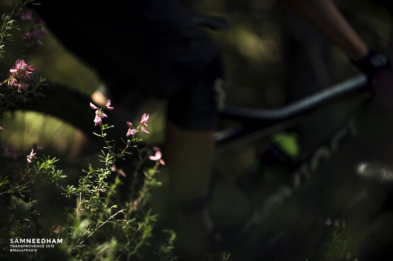
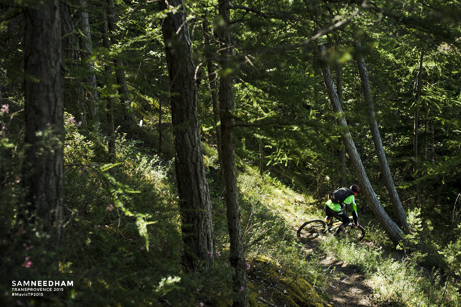
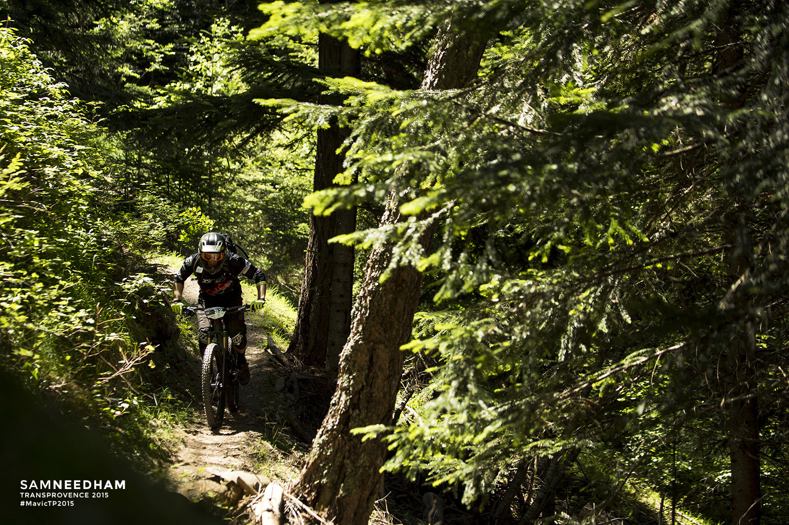
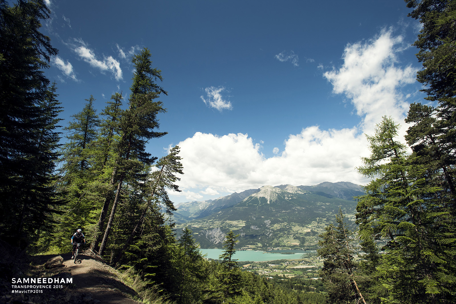
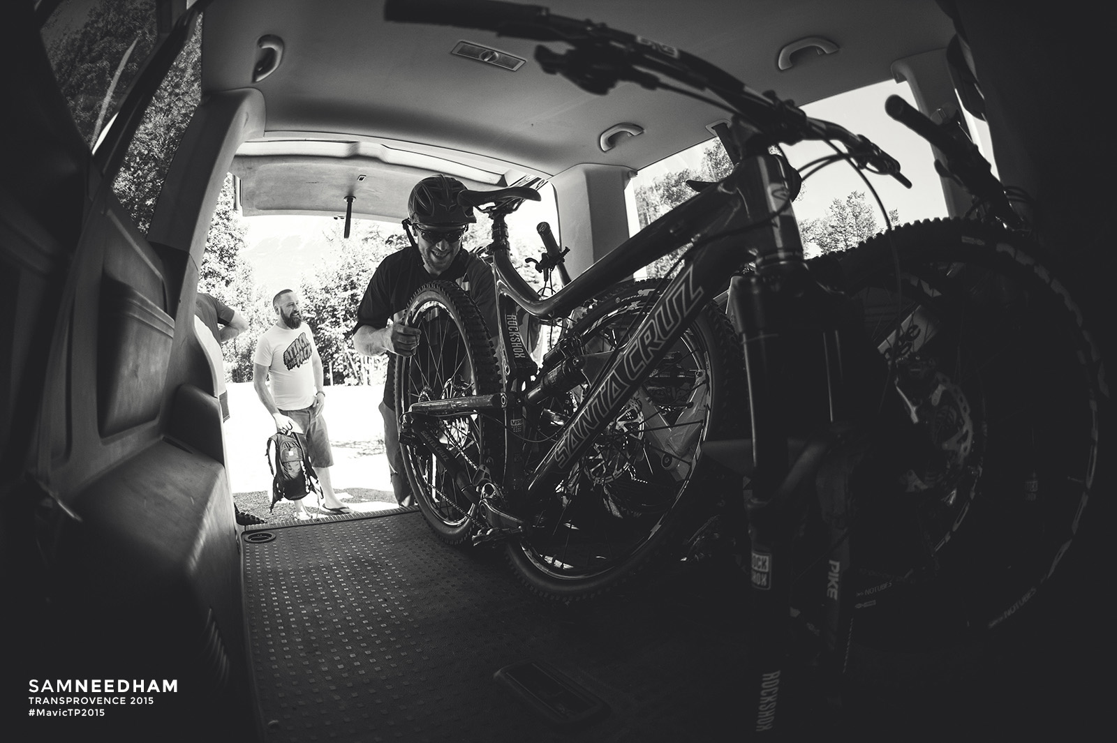
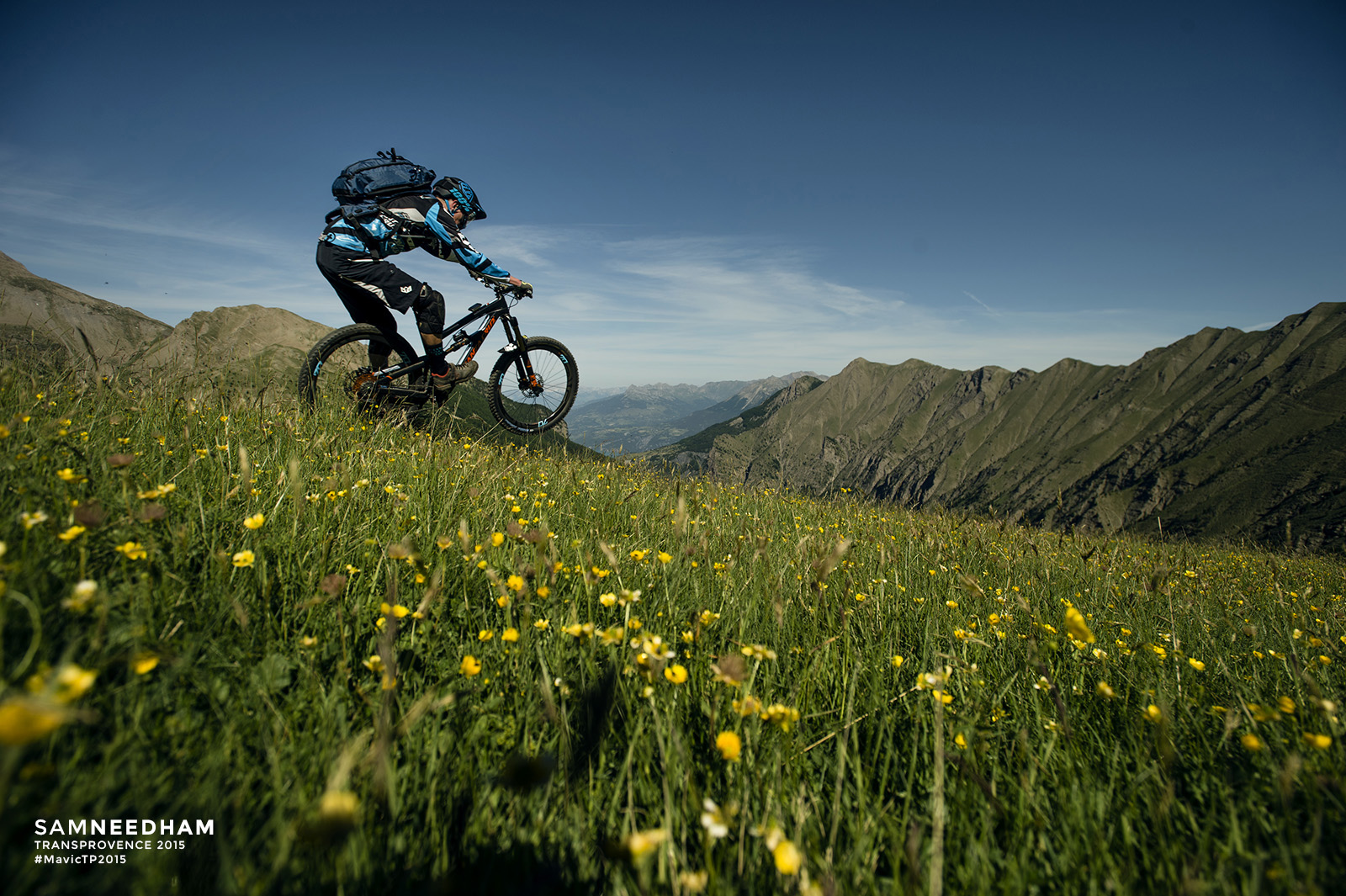
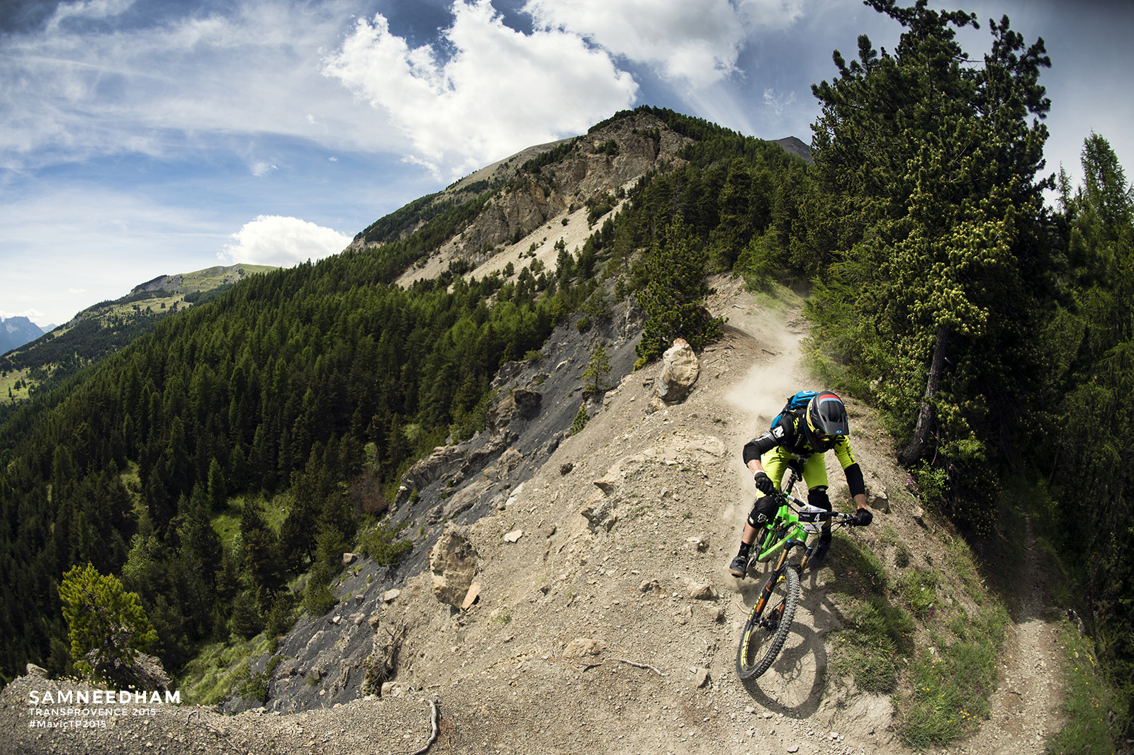
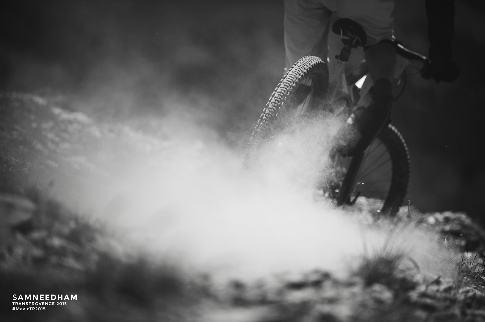
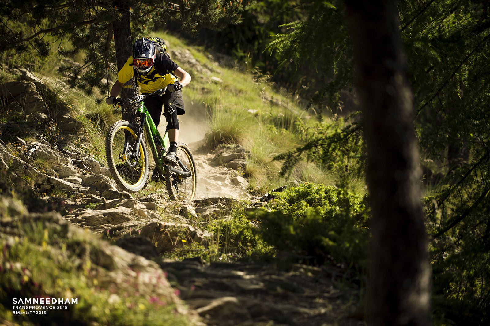
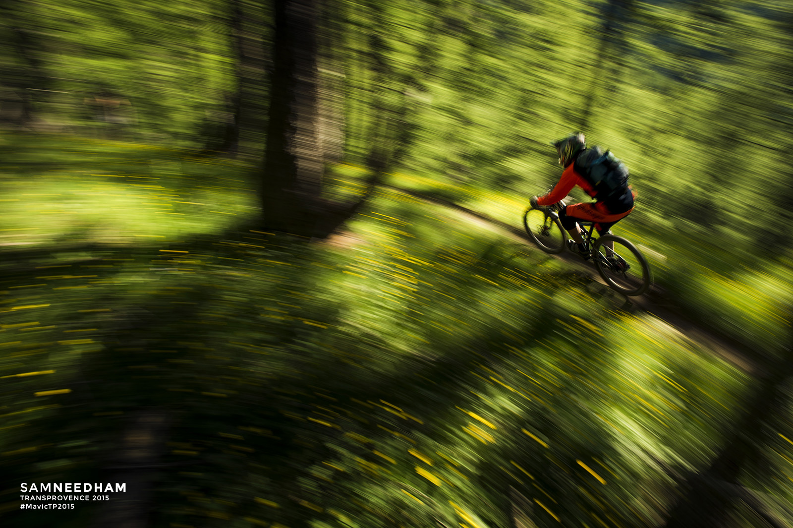
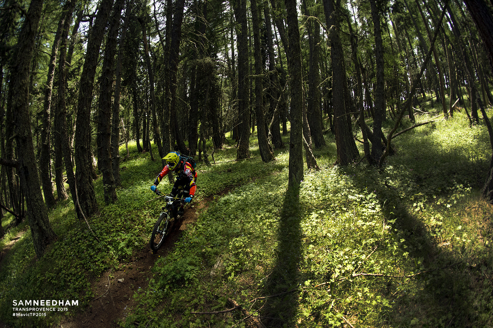
 Race days Zero to Two (which are, confusingly, days one to three on the trail) on this year’s Mavic Trans-Provence have dished up crazy liaison stages, full-on racing and epic alpine scenery. .The T-P media team have been out there in the thick of it, with Singletrack regular Sam Needham capturing all the best bits through the medium of glass and pixels, so settle down with a cuppa for an in-depth look at the first few days of the event…
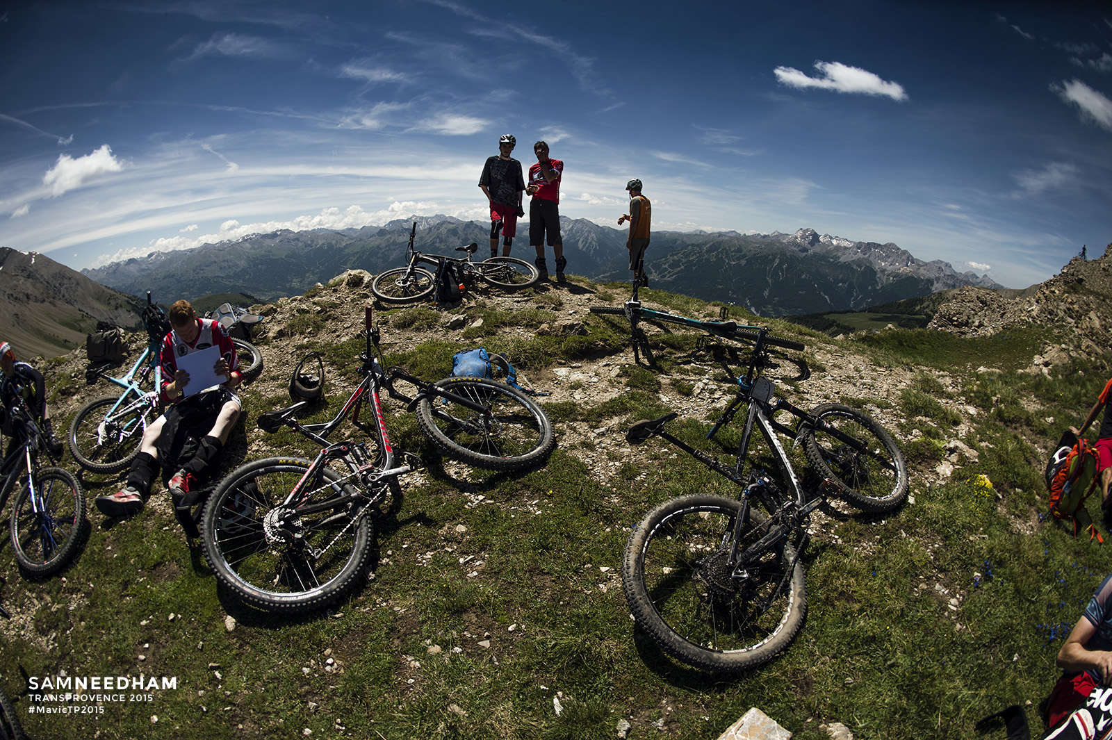
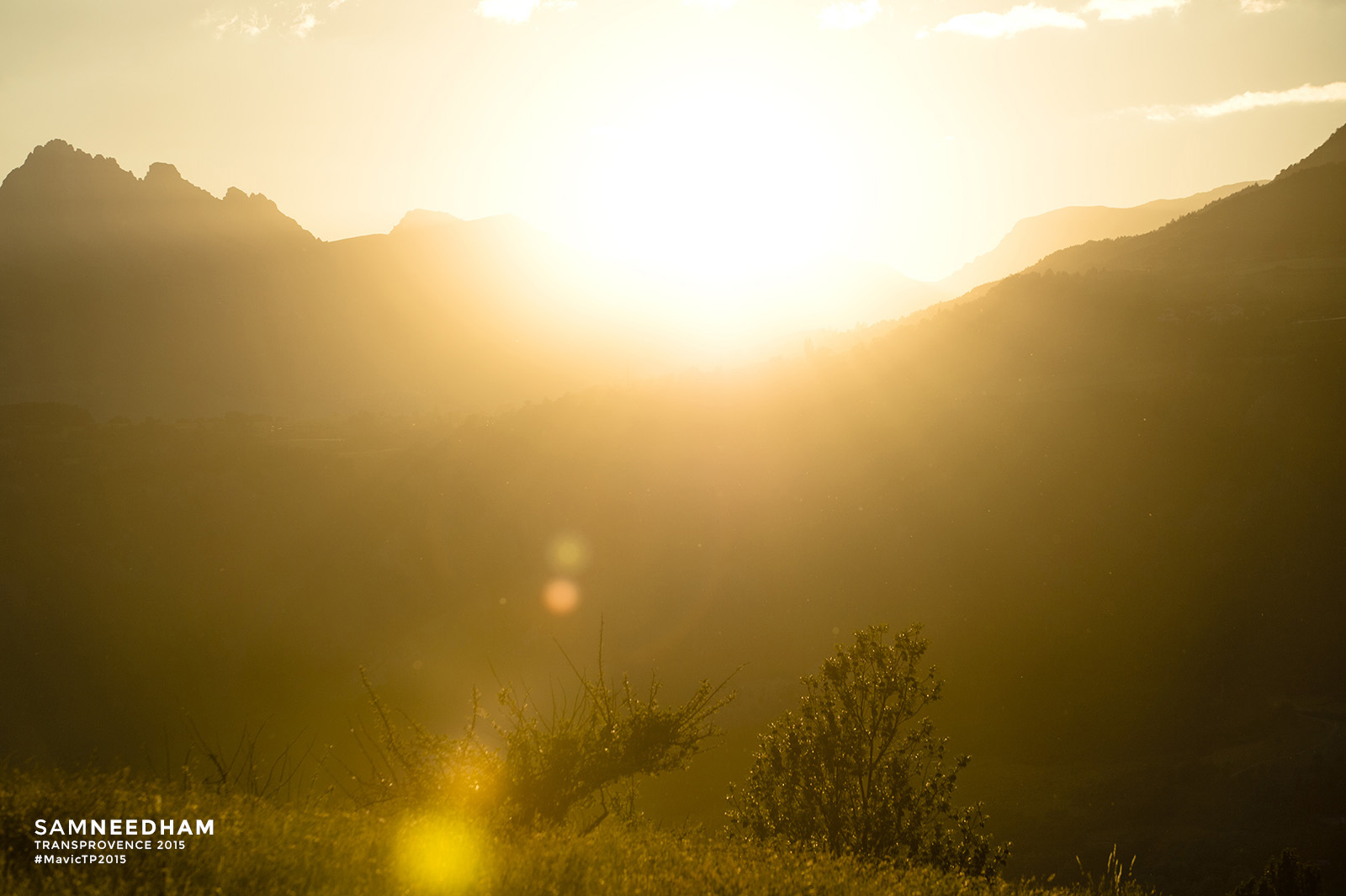
Day Zero /// Prologue, Embrun.
Have you ever wondered what Mavic Trans-Provence does between the long gap each year between race weeks? Well, apart from running guided weeks following the route of the race, a lot of the year is taken up with scouting for the following year’s race.
 Scouting. Scouring over maps. Following the lines on the map to trails in the mountains and sometimes getting lost, sometimes not getting lost. Riding amazing trails. Finding dead ends. Sometimes riding trails that don’t work at all. Bike-a-hikes and road climbs. Fireroad drags and singletrack climbs. Turning paths that were on a map into a journey. Then turning that journey into a race.
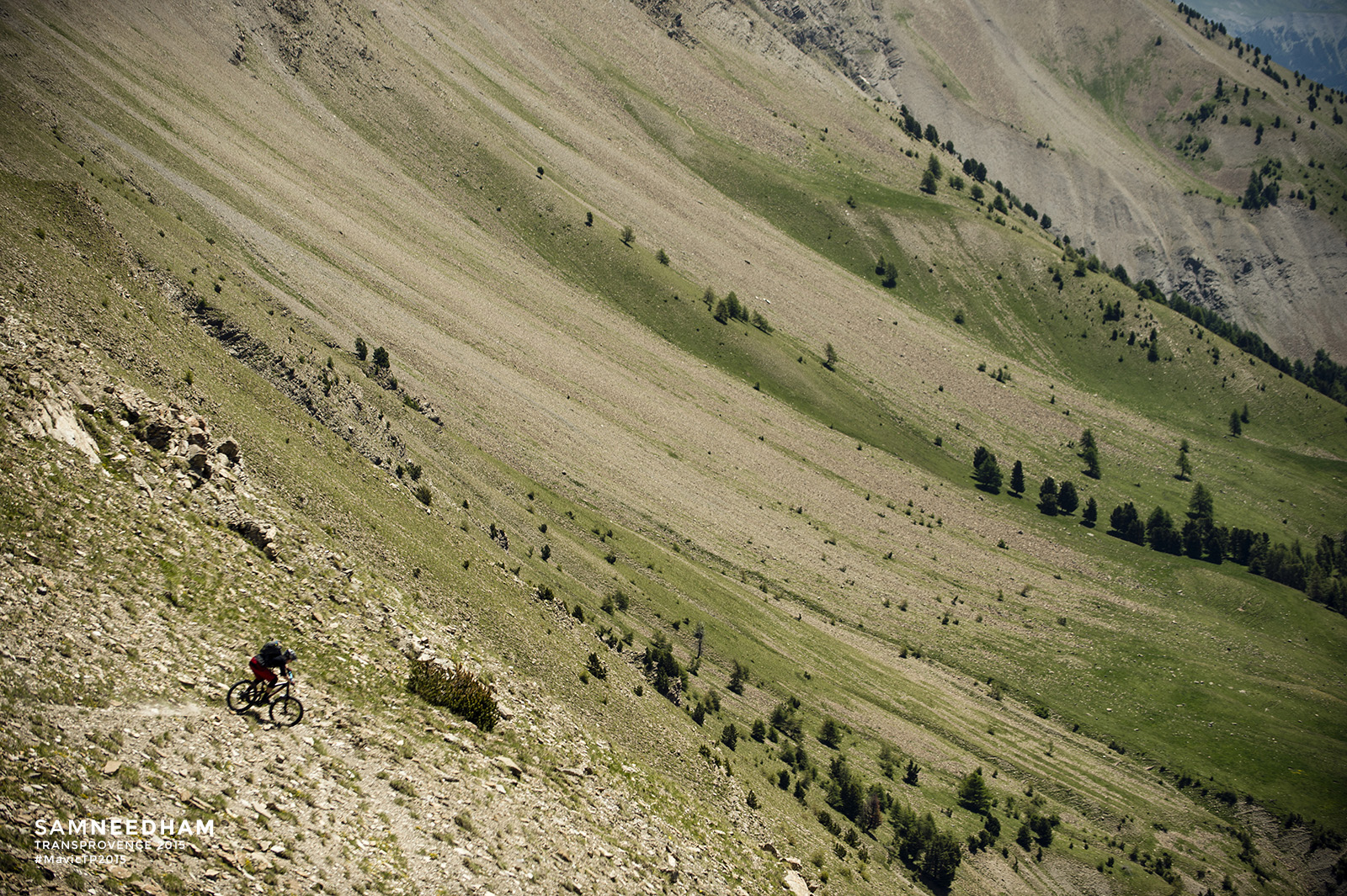
 For its seventh iteration, Mavic Trans-Provence 2015 sees many changes. A new time of year for us and a new starting point. All of that scouting has provided an epic race route with more new trails that ever before. There’s also more descending than ever more (and a little less climbing). What hasn’t changed: six days of great riding and racing from the High Alps all the way back to Menton on the French coast.
 Back in 2009, the first year of Mavic Trans-Provence, the idea of a rally-stye adventure for mountain bikers was born. For each competitor the opportunity – and challenge – to ride quickly and safely on-sight trails that were new to them. Which is a skill set that your regular rider may possess in spades and one that a pro downhiller might not. That fine balance between ‘on the gas or on your ass’ is something that all of us that ride know only too well.
 It’s 2015 and those ideals are still with us. Pesky naysayers have said that we can’t find new riding every year. We say that we can. And we’re proud to say that we have. The French Alps are not a handful of groomed bike park trails and downhill runs. There’s an almost infinite playground for the adventurous, if they are prepared to look.

 So join us this year for new trails, new views and new riders. For the next seven days follow the adventure that will be the Mavic Trans-Provence 2015 -The Spirit Of Rally. It’s going to be fun
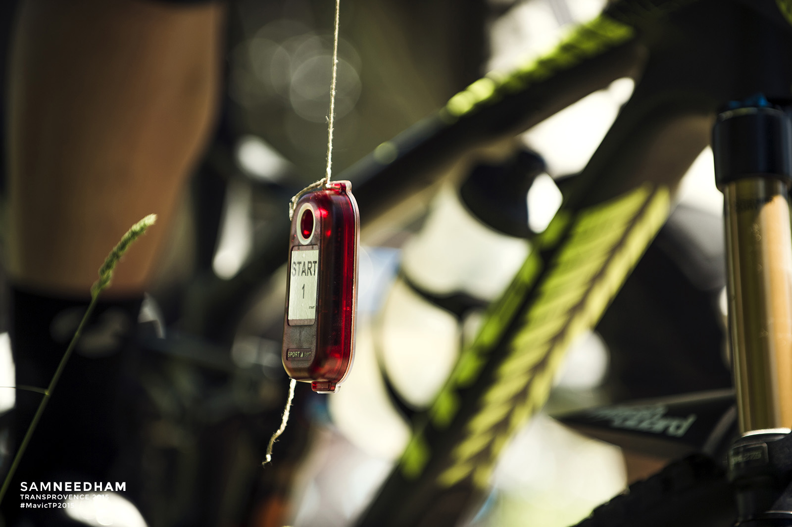
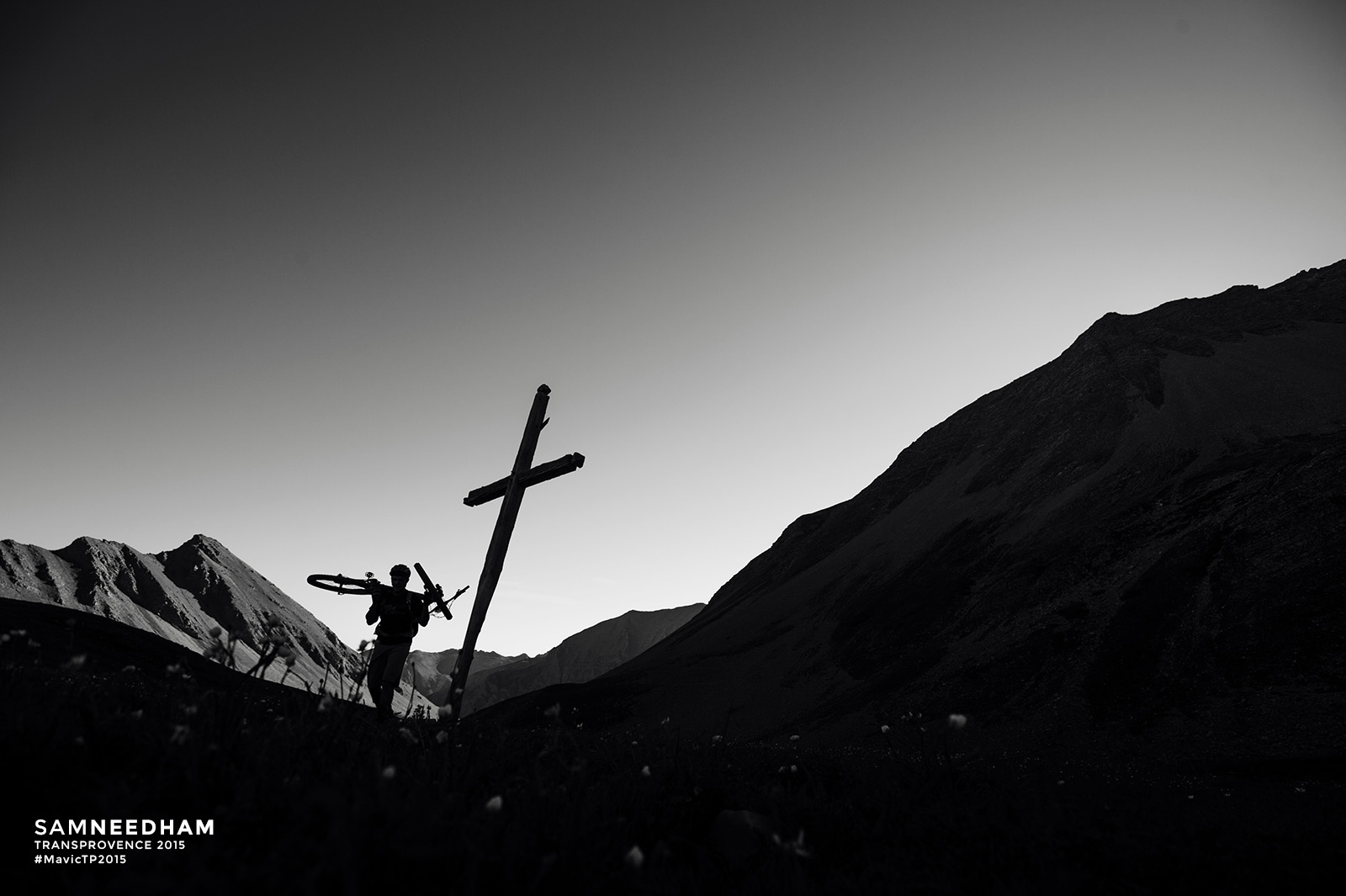
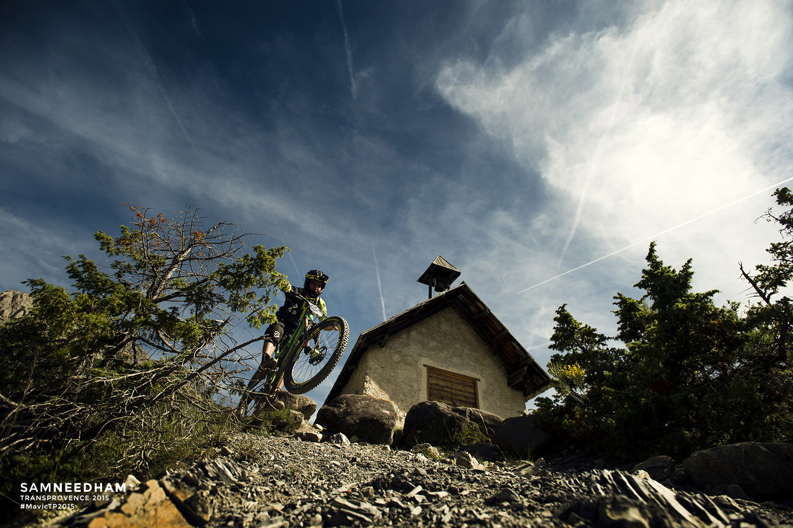
 DAY ONE /// EMBRUN to BARCELONNETTE

Distance: 36.0km
D+: 1574m
D-: 2292m
“I am an agnostic on most matters of faith, but on the subject of maps I have always been true believer. It is on the map, therefore it is, and I am.“ – Tony Horwitz, ‘One For The Road, An Outback Adventure’.
“Like guns and crosses maps can be good or bad, depending on who’s holding them, who they’re aimed at, how they’re used, and why.” – Mark Monmonier, ‘How to Lie With Maps’.*

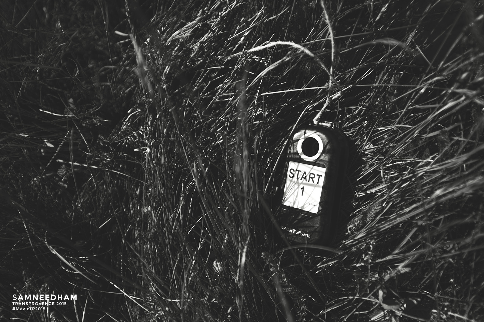
 Competitors on Mavic Trans-Provence get a lot of maps during the week. They get five or six pages a day, lovingly prepared for them. They’re in order and in a swish plastic sleeve so that they can be taken out into the mountains every day. These maps are aids that support and/or confirm the signage that is attached to posts, bushes and trees along the entire length of the route. The maps have information that can help the savvy map reader work out where they are, where they should be, or just confirm that yes, they’re lost!

 There’s also an explanatory page of icons and symbols (called a legend) that tells you what the symbols mean on the map. Handy things such as: where mountain staff are, where you can refill with water, where the feed station is and so on. If it’s useful to you, it’s on the legend.

Riders also get a route profile every day. This looks like a comically compressed range of mountains in profile. Many riders that look at these peaks, turn them into a set of metaphorical peaks that must be conquered that day.
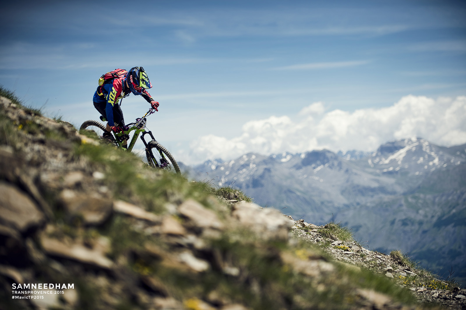
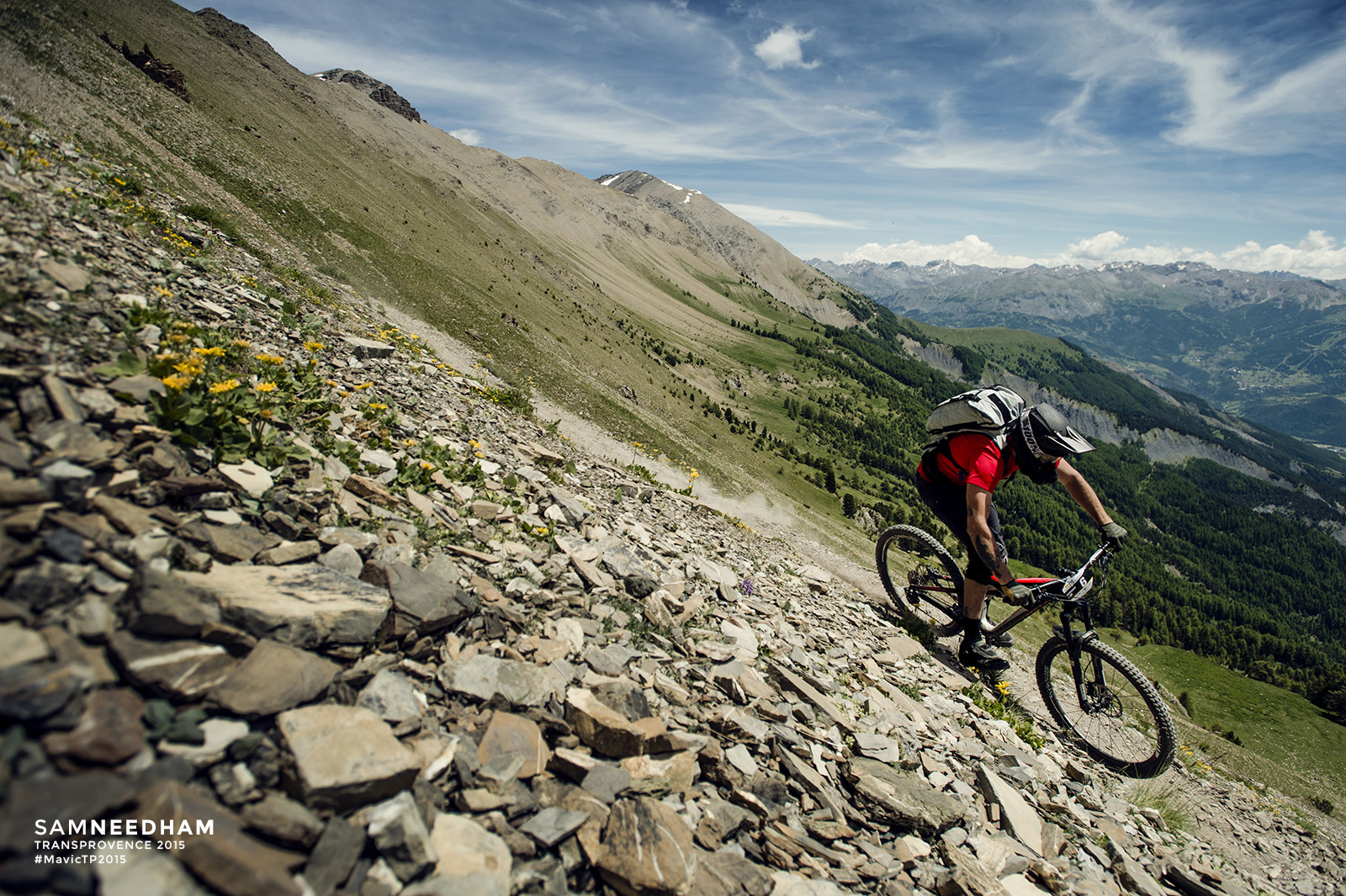
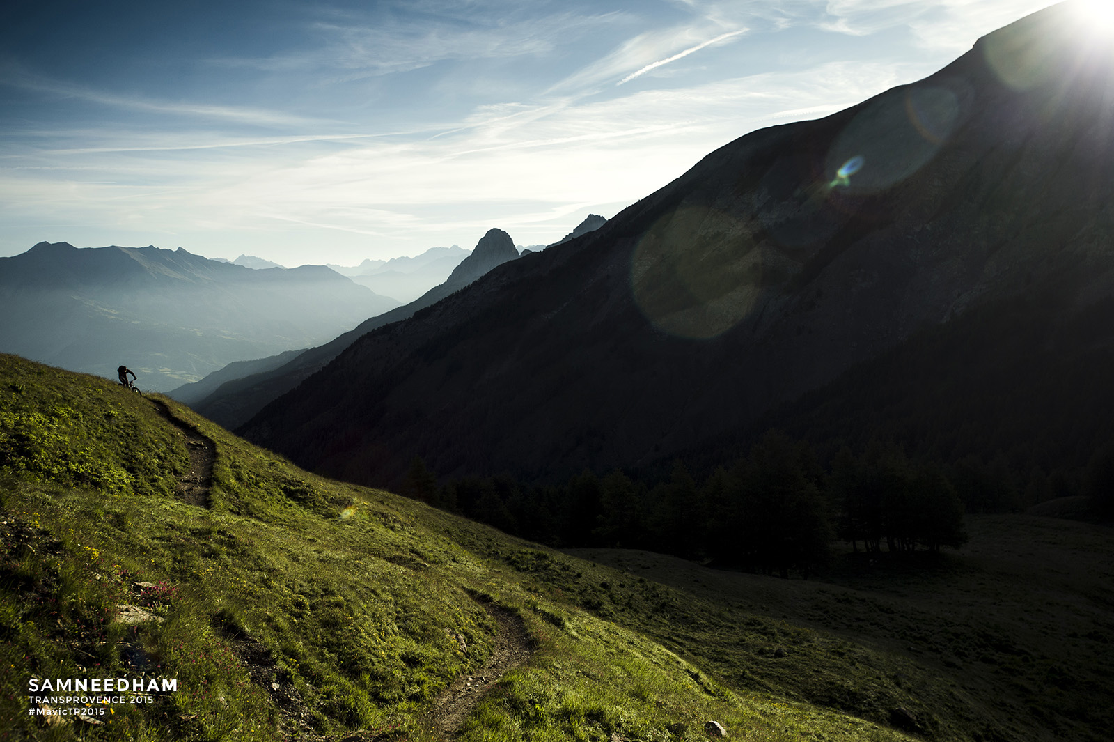
 Yet somehow all of this mapping and information never quite seems to gel with the country in front of you. People often overestimate how fast they’re travelling. The number of kilometres a day that’s written on the profile each day, doesn’t seem to equate to having spent eight hours out in the mountains. The hike-a-bike will take them across a scree slope, and however closely packed the map contours are it still doesn’t really prepare you for the feeling of empty air and long drop to the right of you, once you reach them.
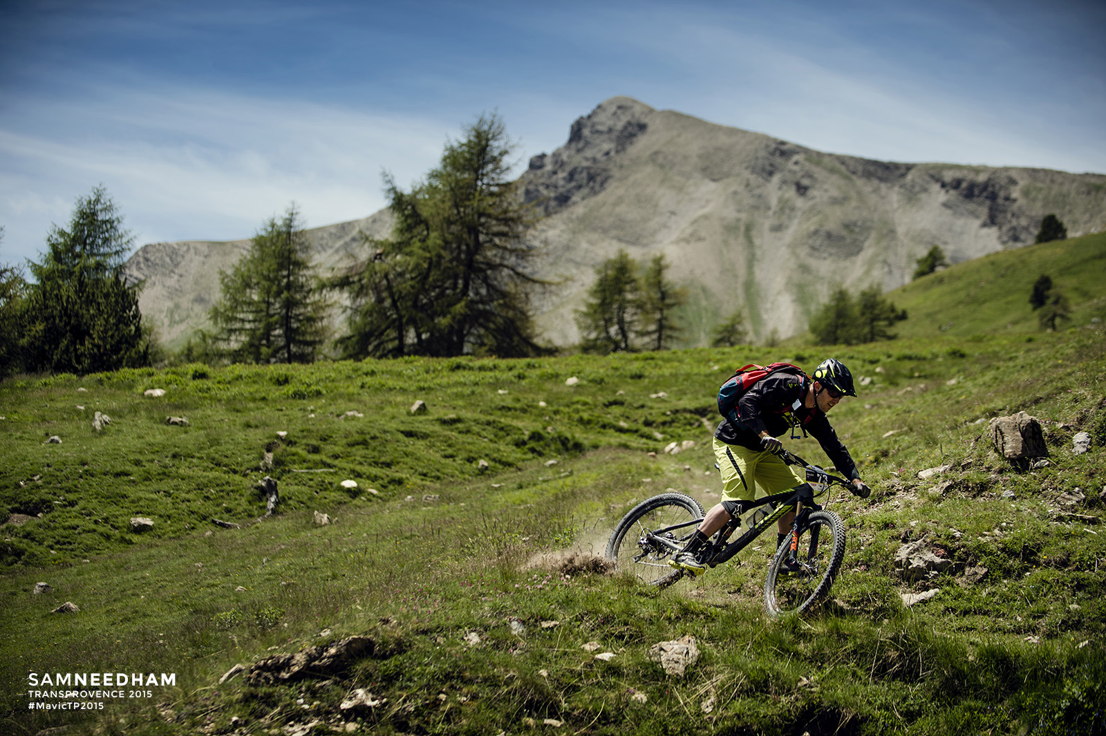
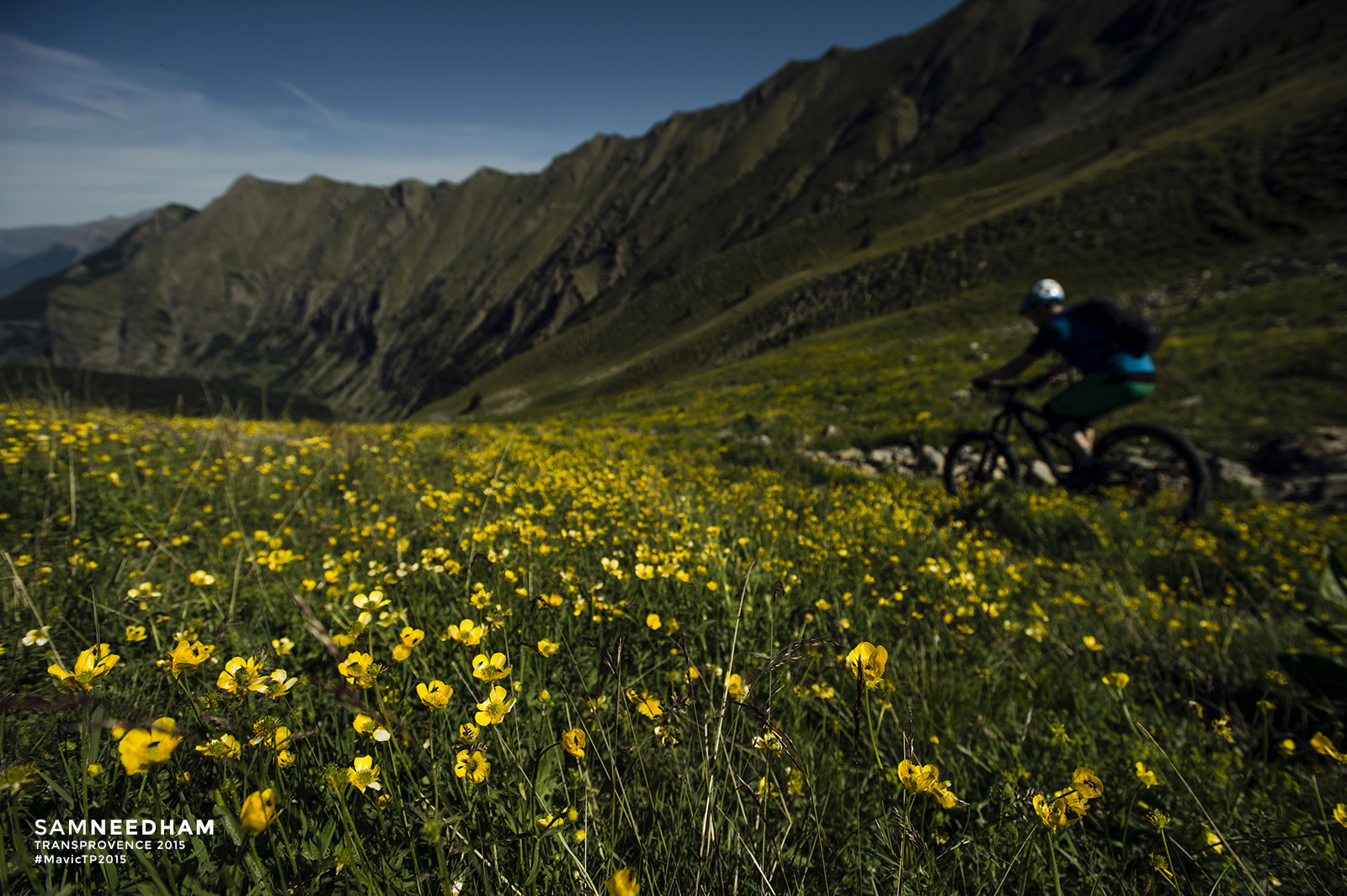
 Maps also don’t really tell you how much fun a timed stage is going to be. Or how a liaison stage might give you some of the best views of your life. Maps can tell you a lot but they’re just a bunch of theory until you experience them in person.
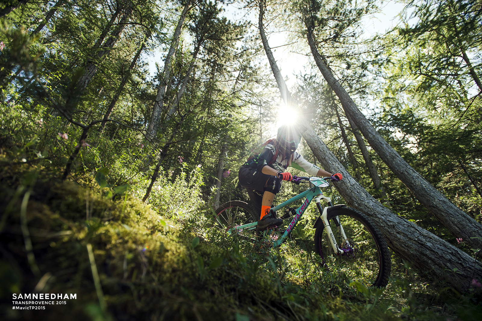
 Today, not one of the riders had ever ridden these trails before. Neither had the TP Mountain Staff. Every rider encountered everything on-sight, no one had any advantage. The spirit of Mavic Trans-Provence is alive and well!
*Could easily have been written about Ash Smith, Founder and Director of Trans Provence (serial map-sniffer and the Man with the Plan).
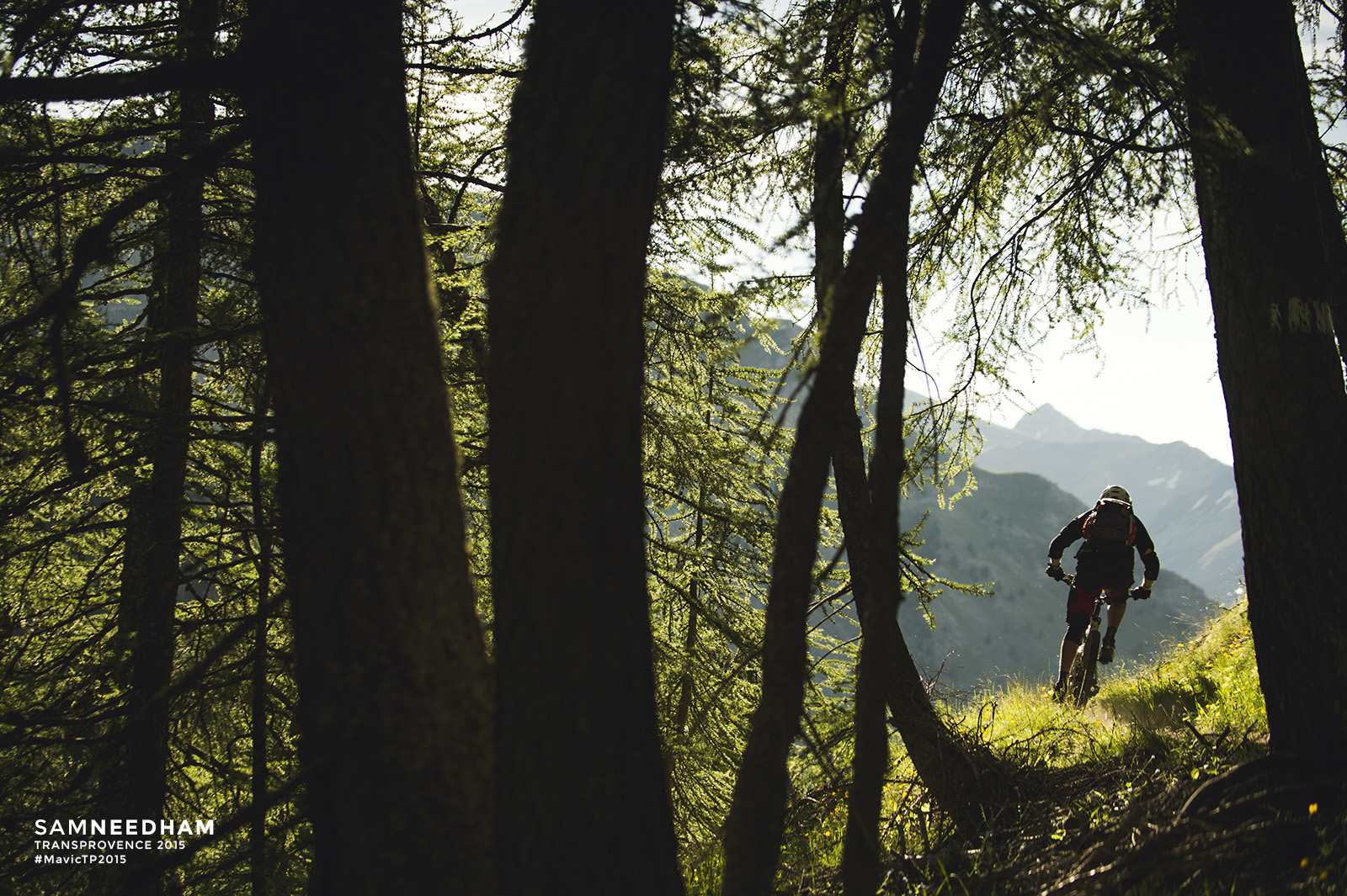
 DAY TWO /// BARCELONNETTE to VILLARS-COLMARS
Distance: 44.5km
D+: 1660m
D-: 2716m
Well after yesterday’s race report summary wandering off into the philosophical meaning of maps and landscape we now return to a more fact-based report. (In the writer’s defense, yesterday the sun was hot and the beer was cold.) For Day 2’s rally writing, there was a little less sun and a little more caffeine. This combo has a marvellous affect on bringing you back to the here and now. Back to the job in hand. The task of relating just some of the essence of Trans-Provence.
 ‘Epic’ is bandied about a lot on the Mavic Trans-Provence, but we rarely boast about the enormous nature of some of our shuttles. Today, an unexpected deadline (hey, it’s France) to close our route of escape from the Ubaye valley into the famous Verdon valley, turned our multi-wave shuttle service for competitors into its own kind of against-the-clock special stage. A race to get all of the riders to a col before the road was shut for road works. No rally-style driving was involved, just very precise and organised turning round of riders and shuttles, we assure you.
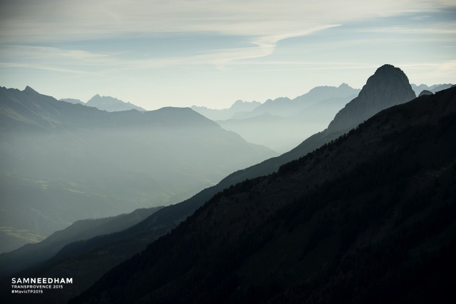
 The col in question is the Col d’Allos which tops out at 2,250 metres (or 7,382 feet in old money). There’s lots of high cols in the Alps but few feel quite as exposed as this one during the approach. Yawning drops on your left with the minimal (token?) protection of tiny concrete parapets. On your right, overhanging rock faces loom down on you. Eventually you do top out at the col, slightly relieved, excited and wishing you could have looked at more of the views. Curse those tiny parapets that made sure you kept your eyes on the road.
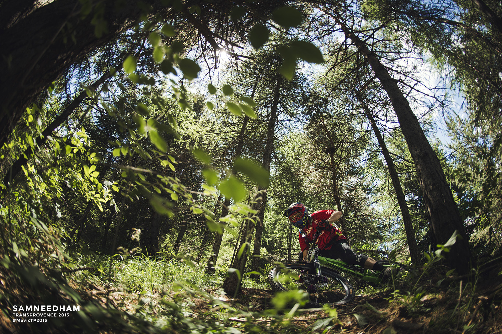
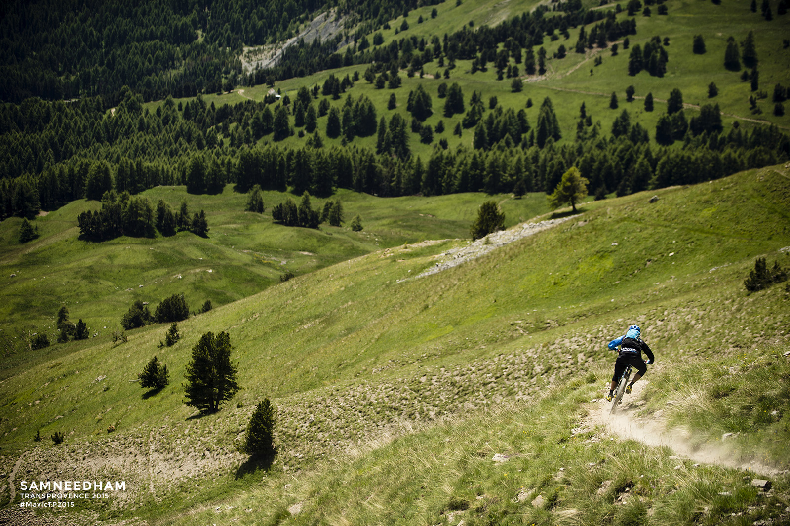
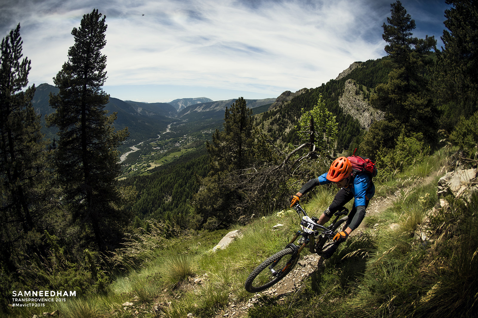
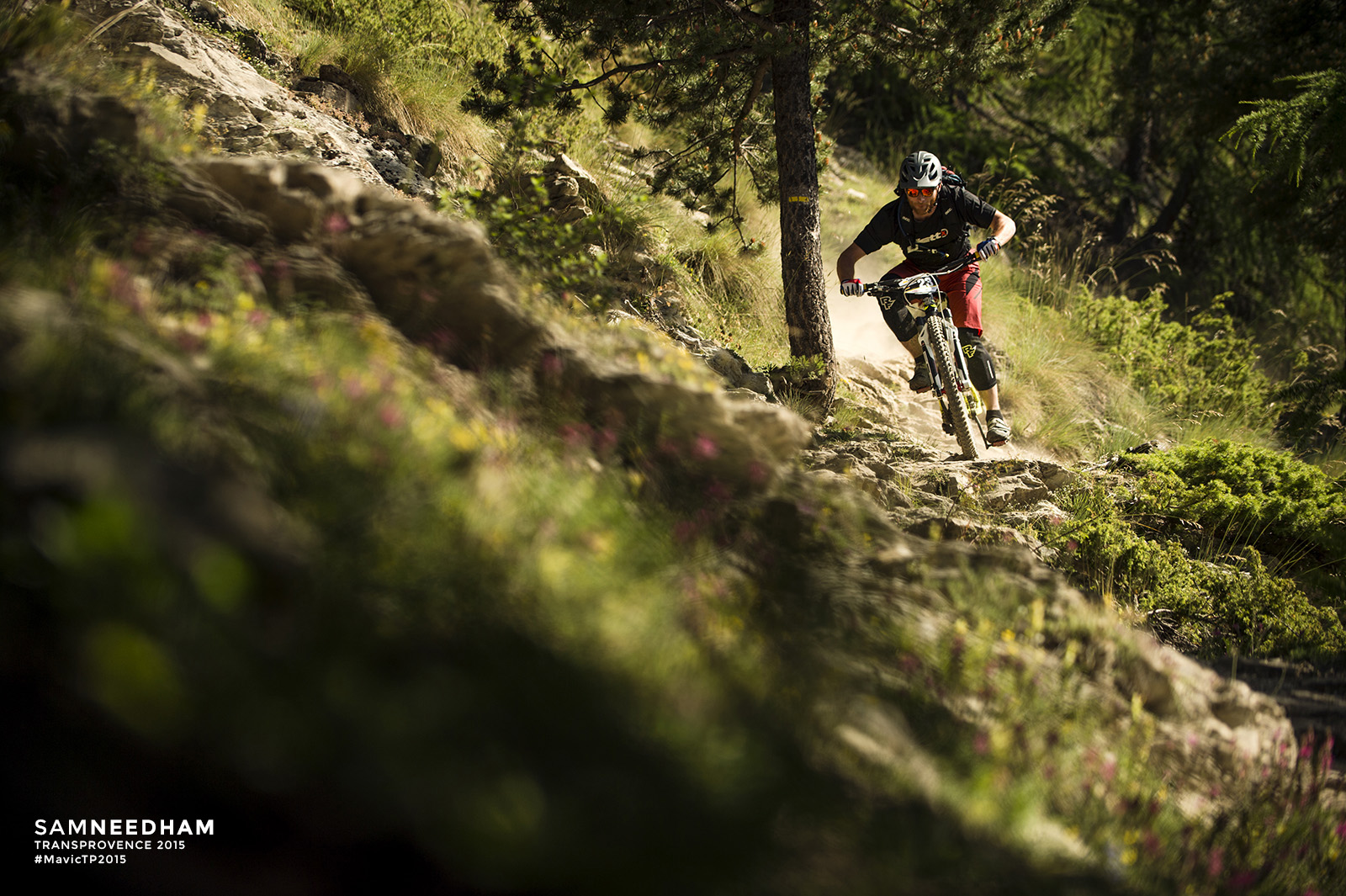
Cycle fact fans: the Tour de France has crossed this col 33 times in its history, so we were in good company. Unlike the TdF though, our riders turn off the road to see what the Verdon valley has in store for them. Namely, four special stages with some big climbs and some amazing trails.
Special Stage 7 was fêted with the highest of high accolades: “being better than Donkey Darko” (a much-loved section of previous Trans-Provence years that inevitably ended up as a riders’ bench mark of the best trail they’ve ever experienced).
 The race for the top three spots has less than a minute in it. And if you keep an eye on the results you’ll start seeing all of the other micro battles between riders throughout the trip. These tussles will go back and forth in the rankings over the next few days. It’s these peer rankings that contain the spirit of Trans-Provence, just as much as the pro podiums.
What else can we tell you? The weather is amazing. The trails are dry. Tomorrow we see the riders head up to the Col Du Champs where the riding starts at 2,100 metres before dropping into the iconic Grey Earth valley. Plus more new special stages tomorrow and more beautiful footage to watch. Stay tuned!
Keep up with all our Trans-Provence coverage here.
Comments (1)
Leave Reply
Post Comment
Great to see my good friend Jamie Nicoll in the lead, he’s built for the multi day! We were riding tow paths a couple of weeks back….